
Backroads Around Las Vegas, Gold Butte

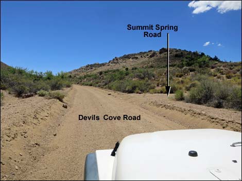 Devils Cove Road at Summit Spring Road (view S) |
Overview Summit Spring Road is a spur road off Devils Cove Road that provides 2WD-HC access to Summit Spring and the historic stonewall corral. One small hill is pretty steep and might require a 4WD vehicle to drive the full 300 yards to the end of the road, but visitors can just park early and walk the remaining 100 yards to the end of the road. Link to road map or regional road map. |
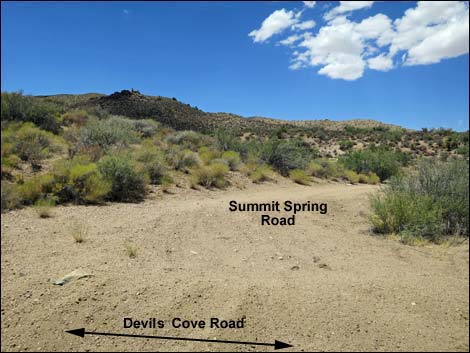 Summit Spring Road (view W from Devils Cove Road) |
Watch Out Other than the standard warnings about hiking in the desert, ... this is a safe road, but the area is wild and remote and without services of any kind (no restrooms, no water, no gas, no food, no cell service). Bring what you need to survive. Be prepared and be self-reliant. It is a big place, but someone will eventually find you if you stay on a main road, but be prepared to survive alone for a day or more on side roads. At the top of the steep hill, the road cuts suddenly and hard to the left, so climb the hill slowly enough to make the turn. While out, please respect the land and the other people out there, and try to Leave No Trace of your passage. Also, this is a remote area, so be sure to bring the 10 Essentials. |
 |
Getting to the Roadhead Summit Spring Road is located out in Gold Butte northeast of Lake Mead, about 3 hours northeast of Las Vegas. From Las Vegas, drive out to Gold Butte and then to Whitney Pocket at the end of the paved Gold Butte Road. Continue south on the unpaved Gold Butte Road for 16.5 miles to a fork. Stay left onto Devils Cove Road and continue south then east 4.3 miles to a T-intersection with Summit Spring Road, on the right. See also the Gold Butte Area overview map. |
 |
The Road From Devils Cove Road (Table 1, Site 1743), Summit Spring Road angles back to the right, briefly heading northwest. The road then bends left and runs out towards the side of a steep, but low, ridge. Summit Spring Road climbs steeply up the side of the ridge bending to the right, then abruptly turns left atop the ridge. The road then runs southwest to the end of the road (Site 1744) and a tight spot to turn around. From the end of the road, a pipe-fence spanning the canyon can be seen a few yards farther up the wash. Most of the rest of the fence is barbed wire, and this is intended to protect the fragile marshy desert vegetation from trampling by feral burros. Humans should refrain from trampling the vegetation too, but a route leads up the hillside before dropping into the springs area. |
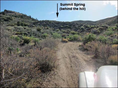 |
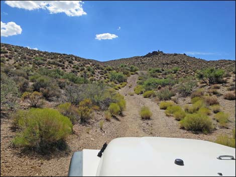 |
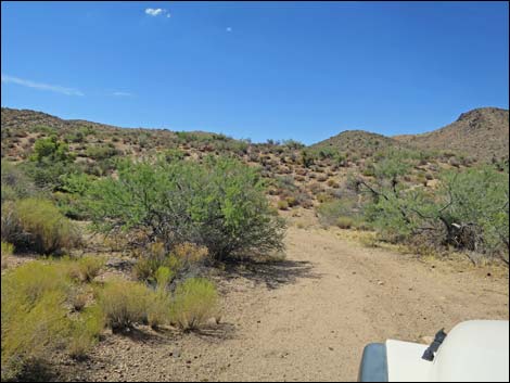
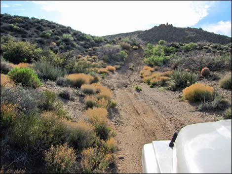 Approaching the steep ridge (view W) |
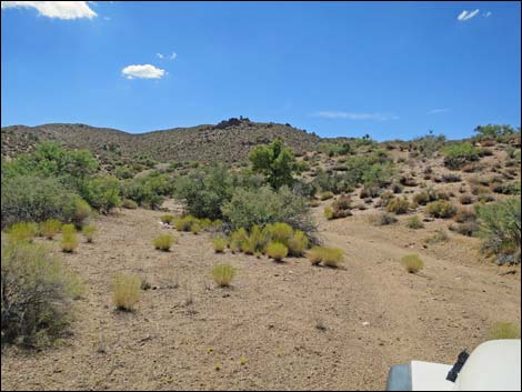
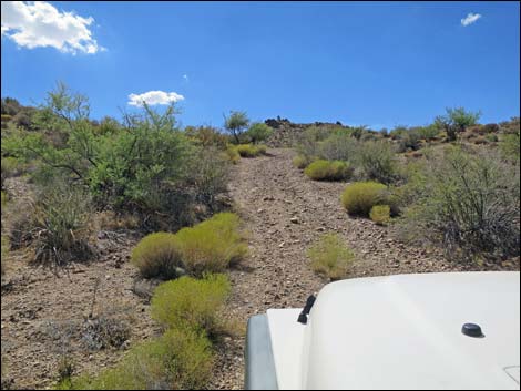 Climbing steep side of the ridge (view W) |
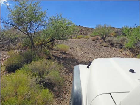 Climbing steep side of the ridge (view W) |
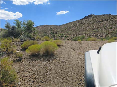 Approaching sharp left turn onto ridgeline (view W) |
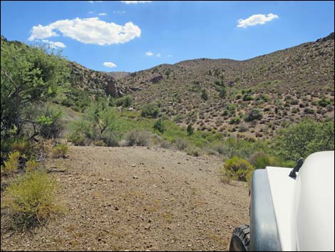 Summit Spring Road on ridgeline (view SW) |
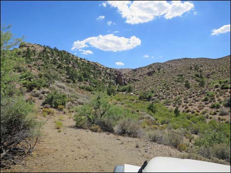 Summit Spring Road on ridgeline (view SW) |
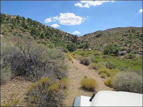 Summit Spring Road slides off ridgeline (view SW) |
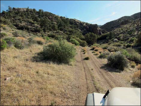 Approaching the end of Summit Spring Road (view SW) |
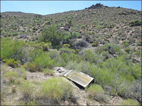 Old bathtub used for watering trough (view W from road) |
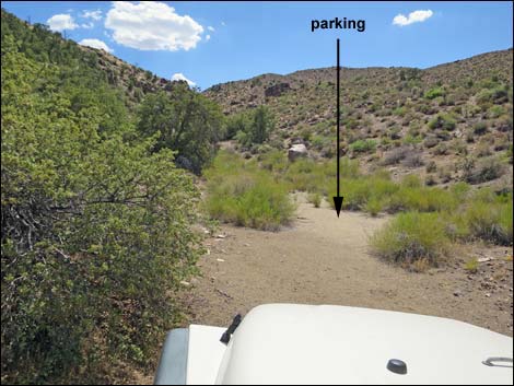 Approaching Summit Spring parking area (view SW) |
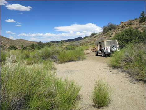 Y-shaped parking area at the end of the road (view NE) |
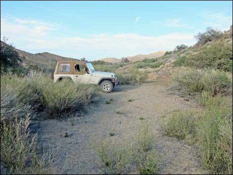 Y-shaped parking area at the end of the road (view NE) |
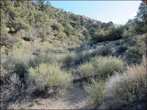 Fence can be seen from the end of the road (view SW) |
 more to come ... |
Departing Summit Spring
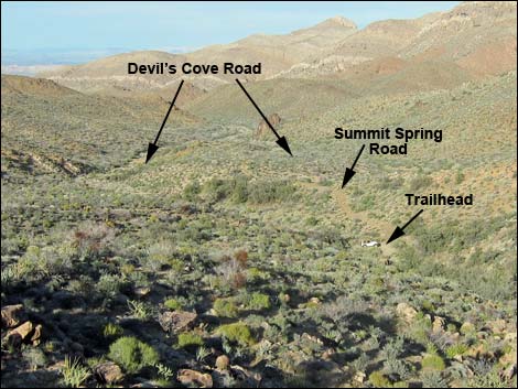 Summit Spring Road and trailhead (view NE from rocky overlook) |
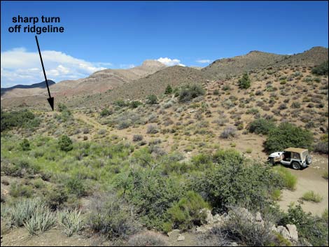 Summit Spring Road and trailhead (view NE) |
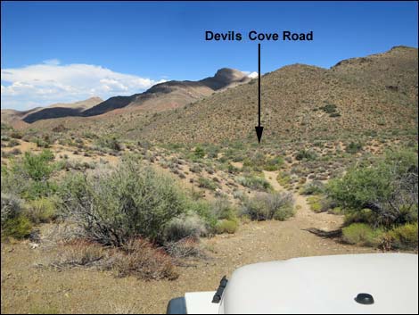 Turning sharply off ridgeline (view E) |
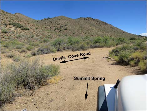 Summit Spring Road at Devils Cove Road (view SE) |
Table 1. Highway Coordinates Based on GPS Data (NAD27; UTM Zone 11S). Download Highway GPS Waypoints (*.gpx) file.
| Wpt. | Location | Latitude (N) | Longitude (W) | Elevation (ft) | Point-to-Point Distance (mi) | Cumulative Distance (mi) | Verified |
|---|---|---|---|---|---|---|---|
| 1743 | Devils Cove Rd at Summit Spring Rd | 36.28747 | 114.11323 | 3,761 | 0.00 | 0.00 | Yes |
| 1744 | Summit Springs Trailhead Parking | 36.28694 | 114.11545 | 3,806 | 0.15 | 0.15 | Yes |
Happy Hiking! All distances, elevations, and other facts are approximate.
![]() ; Last updated 240326
; Last updated 240326
| Backroads Around Las Vegas | Hiking Around Las Vegas | Glossary | Copyright, Conditions, Disclaimer | Home |