
Backroads Around Las Vegas, Gold Butte

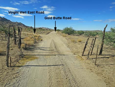 Gold Butte Road approaching Voight Well Road East (view SW) |
Overview Voight Well Road is a short, 1/4-mile-long dirt road that loops off Gold Butte Road, runs through the Voight Well area, and reconnects with Gold Butte Road. This road provides access to Voight Well (an historic corral), Granite Spring (dry), several primitive campsites, Gold Butte Peak Road, and an old arrastra (like a grist mill), thought to be among the oldest evidence of gold mining in the area (dating to Spanish explorers in 1730). Link to map. |
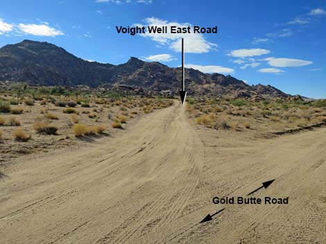 Voight Well Road East (view SW from Gold Butte Road) |
Watch Out Other than the standard warnings about hiking in the desert, ... this is a safe road, but the area is wild and remote and without services of any kind (no restrooms, no water, no gas, no food). Bring what you need to survive. Be prepared and be self-reliant. Someone will find you eventually if you stay on a main road, but be prepared to survive alone for a day or two. Be aware that old mines surround the area, nails in old boards are present, and barbed wire presents tripping hazards While out, please respect the land and the other people out there, and try to Leave No Trace of your passage. Also, this is a remote area, so be sure to bring the 10 Essentials. |
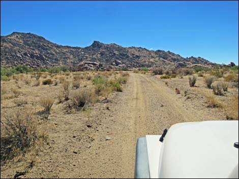 Voight Well Road East (view S from near Gold Butte Road) |
Getting to Voight Well Road Voight Well Road is located out in Gold Butte northeast of Lake Mead, about 3 hours northeast of Las Vegas in a wild, remote, and scenic area. From town, drive out the paved Gold Butte Road for 21 miles to Whitney Pocket where the pavement ends. Continue south on the scenic unpaved Gold Butte Road for 19.8 miles a cattle guard that announces entry into the Gold Butte Townsite area. About 20 yards past the cattle guard, Voight Well Road East forks left into the Voight Well area. In another 0.14 miles down Gold Butte Road, Voight Well Road West forks hard to the left and turns back into the Voight Well area. |
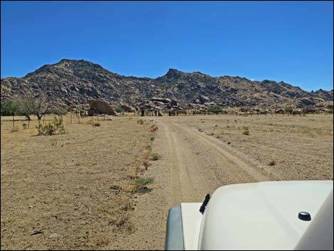 Approaching Voight Well corral (view S) |
The Road From Gold Butte Road (Table 1, Site 1650), Voight Well Road East runs due south 0.10 miles to the historic corral (Voight Well, Site 1698). At the corral, the road bends right and runs another 0.12 miles to reconnect with Gold Butte Road (Site 1651). At the bend by the corral (Site 1698), Gold Butte Peak Road forks to the left to runs east, eventually all the way to a mine site only a few steps below the summit of Gold Butte Peak. Visitors will find plenty of open, flat spots near the corral (Site 1698) and elsewhere (Site 1699) along these roads to pull up trailers and camp. While here, please respect this historic site and refrain from burning historic lumber in campfires. Also, be sure to distinguish between "historical junk" and "trash" when picking up litter in the area. |
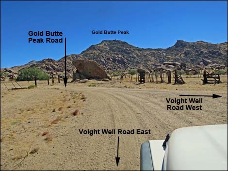 Voight Well Road bends right while Gold Butte Peak Road forks left |
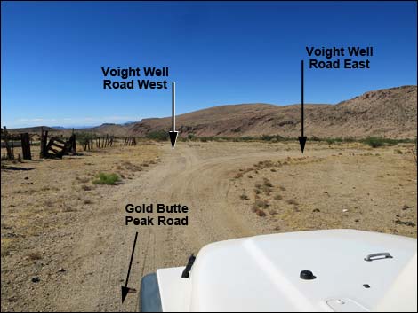 Gold Butte Peak Road approaching Voight Well Road (view W) |
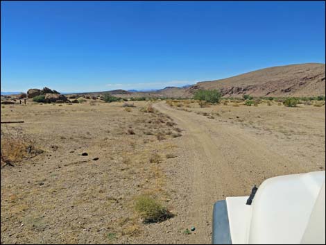 Voight Well Road West passing the old corral (view W) |
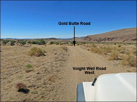 Voight Well Road West approaching Gold Butte Road (view W) |
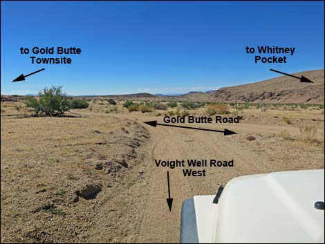 Voight Well Road West at Gold Butte Road (view W) |
 More to come ... |
Table 1. Highway Coordinates Based on GPS Data (NAD27; UTM Zone 11S). Download Highway GPS Waypoints (*.gpx) file.
| Wpt. | Location | Latitude (N) | Longitude (W) | Elevation (ft) | Point-to-Point Distance (mi) | Cumulative Distance (mi) | Verified |
|---|---|---|---|---|---|---|---|
| 1650 | Gold Butte Rd at Voight Well Rd E | 36.28510 | 114.19398 | 3,755 | 0.00 | 0.00 | Yes |
| 1698 | Voight Well Area | 36.28362 | 114.19366 | 3,724 | 0.10 | 0.10 | Yes |
| 1651 | Gold Butte Rd at Voight Well Rd W | 36.28353 | 114.19569 | 3,751 | 0.12 | 0.22 | Yes |
| 1699 | Gold Butte Peak Rd at Camp | 36.28323 | 114.19145 | 3,743 | . | . | Yes |
Happy Hiking! All distances, elevations, and other facts are approximate.
![]() ; Last updated 240326
; Last updated 240326
| Backroads Around Las Vegas | Hiking Around Las Vegas | Glossary | Copyright, Conditions, Disclaimer | Home |