
Hiking Around Las Vegas, Gold Butte National Monument

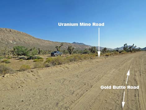 Gold Butte Road approaching Uranium Mine Road (view S) |
Overview The Uranium Mine is a 1950s-era prospect (aka: Long Shot Prospect, Blue Chip Prospect) where prospectors came in, found some uranium ore, invested time and money in bulldozing roads and digging one tunnel, building a cabin, and then they abandoned the area leaving a damaged and polluted landscape in their wake. Even so, this makes for an interesting hike into the mining history of Gold Butte where, they say, you can find any mineral you seek, but not in commercial quantities. This 1.8-mile, round-trip route uses the old prospecting road, which climbs steeply up the hillside, then traverses across the side of the ridge to the mine. In this steep, rocky country, this is an in-and-out hike. This hike provides access to the prospects on the open, airy ridge with grand views out across Horse Valley to the towering Tramp Ridge in the distance and Paradise Ridge in the foreground. Link to map. |
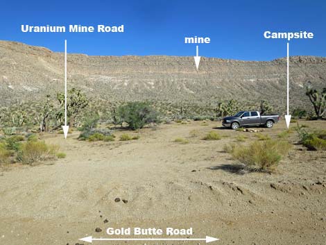 Uranium Mine Road and campsite (view E from Gold Butte Road) |
Watch Out Other than the standard warnings about hiking in the desert, ... this is a fairly safe route, but there are opportunities to stumble and fall off the trail, so always be extra careful when high enough to get hurt. The deepest prospect is a 33-ft tunnel, and while it probably won't cave in today, holes in the ground are never safe to enter. This route goes to an abandoned uranium mine where radioactivity is as high as 16 times background (2,500 counts per second (cps) with a background of 150 cps) and extensive radioactivity at 3 or more times background. The highest radioactivity levels are generally associated with yellow carnotite on fractures (Ludington, et. al. 2006). This is a wild and remote area without services of any kind (no restrooms, no water, no gas, no food). Bring what you need to survive. Be prepared and be self-reliant. Someone will find you eventually if you stay on a main road, but be prepared to survive alone for a day or two. Cell phones don't work in this area. |
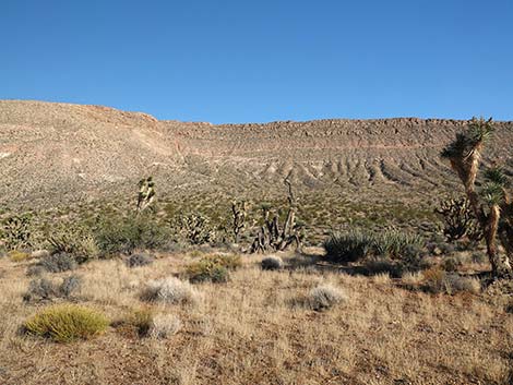 Uranium Mine Route (view E from trailhead) |
While hiking, please respect the land and the other people out there, and try to Leave No Trace of your passage. Also, this is a remote hike, so be sure to bring the 10 Essentials. Getting to the Trailhead The Uranium Mine is located out in Gold Butte National Monument at the northeast end of Lake Mead, about 3 hours northeast of Las Vegas in a wild, remote, and scenic area adjacent to the Arizona Border. From town, drive out to Gold Butte National Monument. From Whitney Pocket, continue south on the unpaved Gold Butte Road. At about 16.3 miles out, Uranium Mine Road branches to the left into what looks like only a campsite. Turn in and park at the campsite, which is rarely used. If the campsite is occupied, park along Gold Butte Road and walk the few extra yards. Drivers who miss Uranium Mine Road will, in another 0.26 miles, reach the intersection with Devils Cove Road. Turn around and drive back watching the right side of the road for the turnoff. |
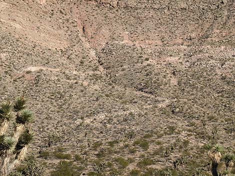 The route switchbacks up the hillside (view E from trailhead) |
The Hike From the trailhead (Table 1, Waypoint 01), the trail up to the mine runs east from the campsite following Uranium Mine Road. The road drops into a wash, turns right to head upstream, then shortly bends left and climbs out the other side of the wash. Just ahead, a little-used campsite can be seen on the left. A few yards farther, the road forks (Wpt. 02); watch for carsonite posts. Uranium Mine Road continues straight (left), while a short spur road to the right (southeast) runs out to the Uranium Mine Cabin site. Staying left, Uranium Mine Road climbs straight up the hillside becoming steeper and steeper. Eventually, the road begins to wind up and across the hillside, then finally bends left into the first switchback. |
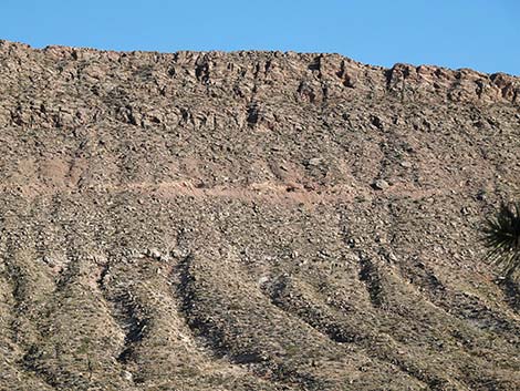 The mine (view E from trailhead) |
The road switchbacks right to wind up across the hillside, then passes two more switchbacks. The highest switchback (Wpt. 03; 0.7 miles out) brings the road to the elevation of the main prospects. Heading south, the road traverses the steep, rocky hillside generally following the exposed layer strata where the uranium is found. The layered strata is interesting, and in one area the soils contain high amounts of gypsum evidenced by the presence of Palmer's Phacelia, one of the gypsophilic desert plants. Unfortunately, the more famous gypsophilic desert plant Las Vegas Bearpoppy, is absent. In about 0.2 miles, the road arrives at a wide spot where it seems the mine tunnel would be, but it is just a few yards farther (Wpt. 04), just before the end of the road. |
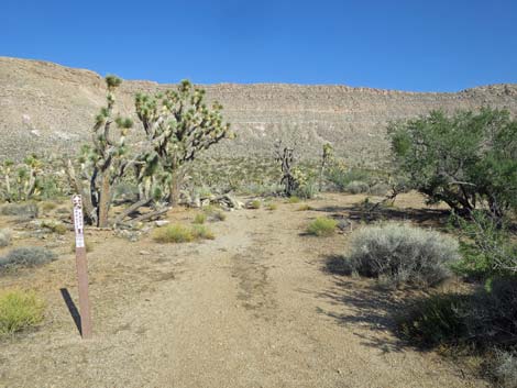 Carsonite sign at start of Uranium Road (view E) |
Into the hillside, the 33-ft-long tunnel runs straight back dipping slightly, and the back is visible from the entrance. The opening is relatively wide, and it narrows towards the back. Inside the tunnel, sedimentary layers can be seen in the walls, including what probably are gypsum crystals and layers of yellow uranium ore (carnotite). The tunnel ends with two shallow drill holes bored into the end of the tunnel; perhaps the remains of the last blast before the site was abandoned. Outside the tunnel, a steep use-trail climbs the hillside just south of the tunnel to two shallow prospects above the tunnel. It appears that the prospectors worked up here, but they abandoned the effort. They did leave one drill bit stuck in the rock. Other than the tunnel and pits, there is little evidence of the work done here. There is some ore spilled on the ground and a few pieces of wood, but there is no machinery or other equipment. |
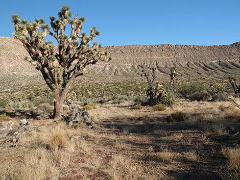 Departing the campsite area (view E) |
Uranium is a metal. Uranium can take many chemical forms, but in nature it is generally found as an oxide (in combination with oxygen). Triuranium octoxide (U3O8), a yellow, powdery substance, is the most stable form of uranium oxide and is the form most commonly found in nature (u3o8corp, 2018). At the mine, rock containing as much as 240 ppm uranium oxide (U3O8) and carnotite (K2(UO2)2[VO4]2•3H2O) occurs on fractures in a 1-m-thick body as much as 5,000 m long. Uranium contents of samples taken here have a high value of 181 ppm (Ludington, et. al. 2006). Examination of the Long Shot Mine area showed local radioactive areas as high as 16 times background (2,500 counts per second [cps] with a background of 150 cps) and extensive radioactivity at 3 or more times background. The highest radioactivity is generally associated with yellow carnotite on fractures (Ludington, et. al. 2006). |
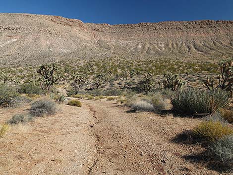 The route starts down towards a wash (view E) |
When ready, head back down the road. The landscape is too steep and rocky to make a loop. Be sure to stop and visit the old cabin site on the way down. Little remains, but it is always interesting to contemplate the lives of people who tried to make a living out here. For photos of the hike back down, see Uranium Mine -- Return to the Trailhead. Reference Ludington, et. al., 2006. Mineral Resource Assessment of Selected Areas in Clark and Nye Counties, Nevada. U.S. Geological Survey Scientific Investigations Report 2006-5197, Chapter 3, page C27. u3o8corp, 2018. http://www.u3o8corp.com/our-commodities/uranium/what-is-uranium/ |
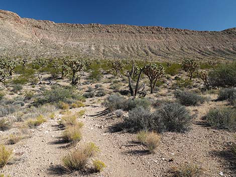 Uranium Road approaching the wash (view E) |
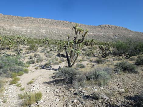 Uranium Road drops into a wash (view E) |
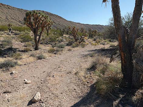 Uranium Road turns up into wash (view SE) |
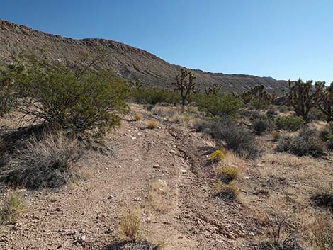 Uranium Road climbs out of wash (view SE) |
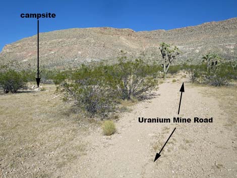 Uranium Road approaching a campsite on the left (view E) |
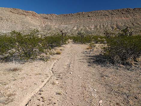 Uranium Mine Road passing the campsite (view E) |
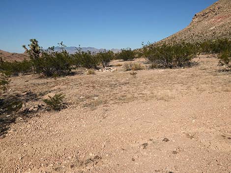 Uranium Road at the campsite on the left (view E) |
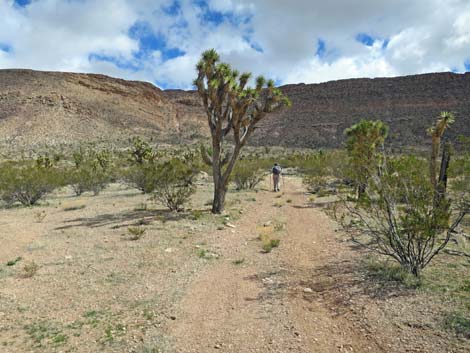 Hiker on Uranium Mine Road past the campsite (view E) |
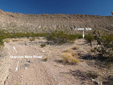 Fork in the road to historical cabin site (view E) |
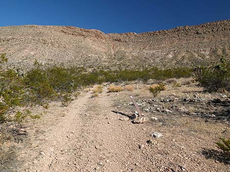 Damaged sign on Uranium Mine Road (view SE) |
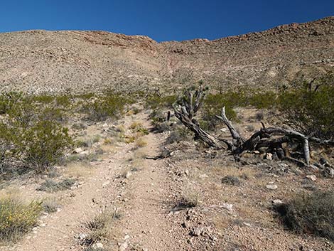 Uranium Mine Road (view SE) |
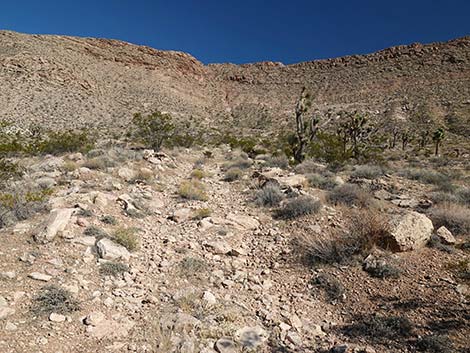 The road is starting to get steep (view E) |
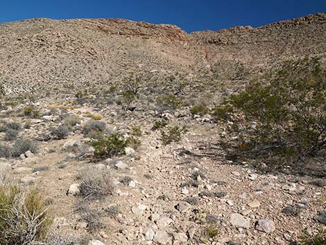 The road stays steep (view E) |
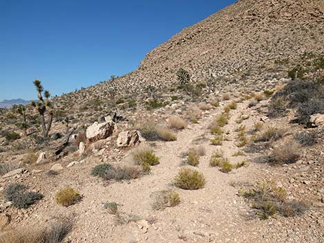 Winding steeply up the hillside (view SE) |
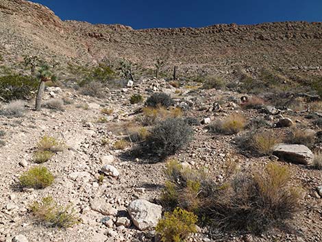 Winding steeply up the hillside (view E) |
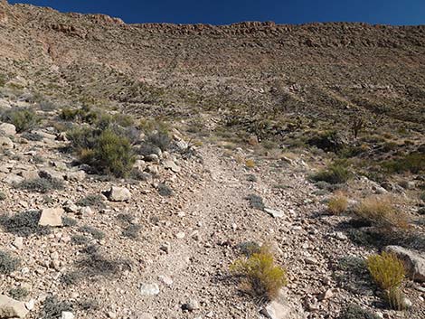 Winding steeply up the hillside (view E) |
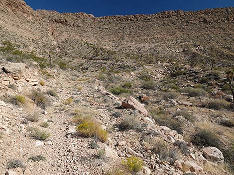 Winding steeply up the hillside (view E) |
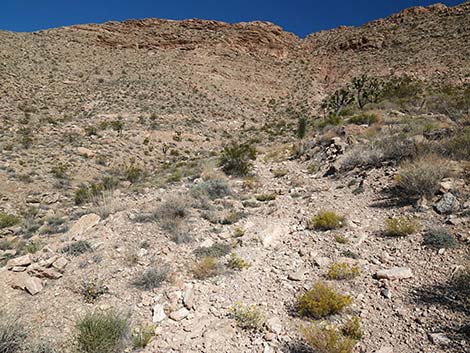 Winding steeply up the hillside (view E) |
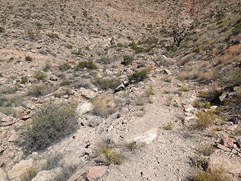 Winding steeply up the hillside, approaching first bend (view E) |
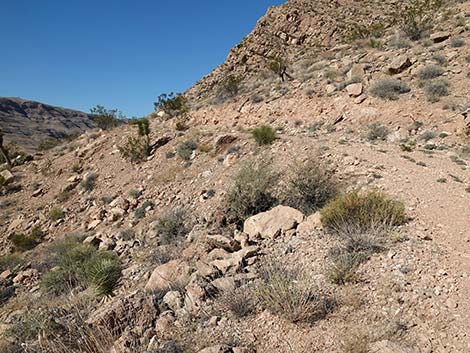 Road bends left and levels out (view N) |
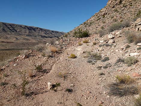 Approaching the first switchback (view S) |
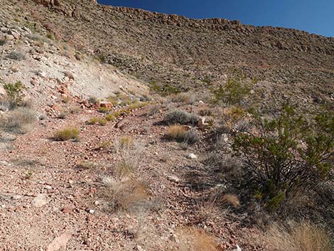 Turning the first switchback (view SE) |
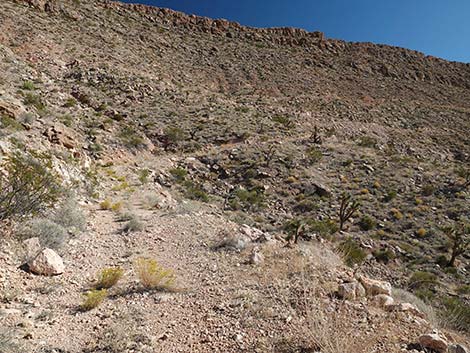 Winding steeply up the hillside (view SE) |
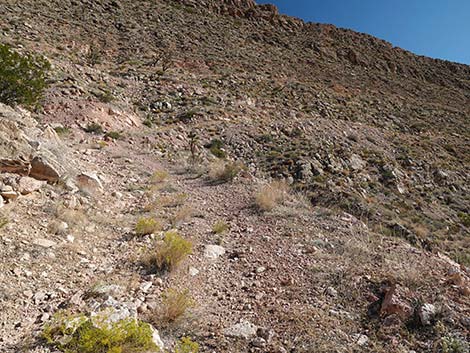 Winding steeply up the hillside (view SE) |
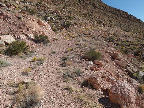 Winding steeply up the hillside (view SE) |
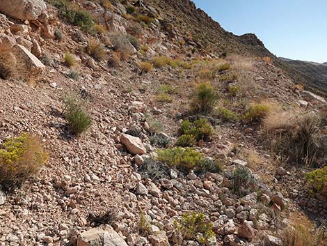 Winding steeply up the hillside (view SE) |
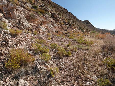 Arriving at the second switchback (view S) |
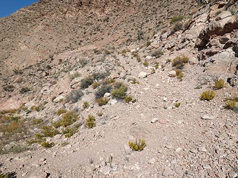 Turning the middle switchback (view NE) |
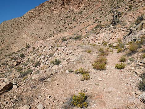 Trail runs up and across the hillside (view SE) |
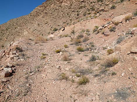 Approaching the final switchback (view N) |
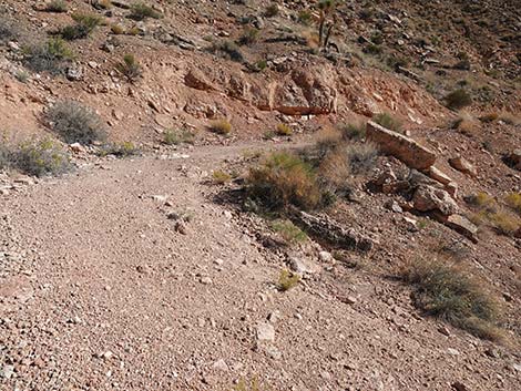 Turning the third switchback (view SE) |
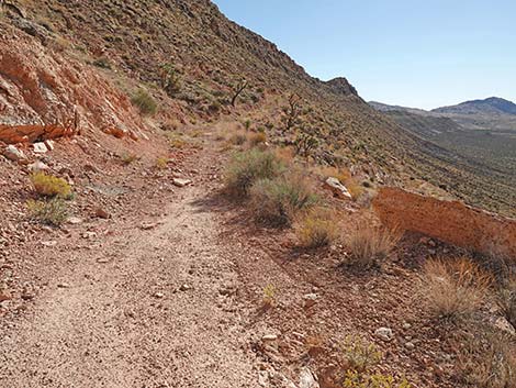 Atop final switchback (view S) |
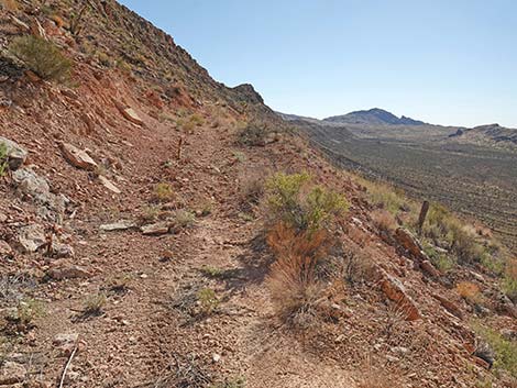 The route now runs at a gentle grade (view S) |
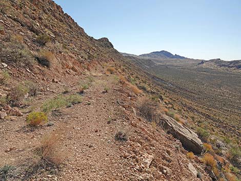 Traversing the side of the ridge (view S) |
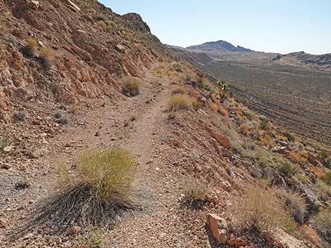 Gypsiferous soils and plants above the road (view SE) |
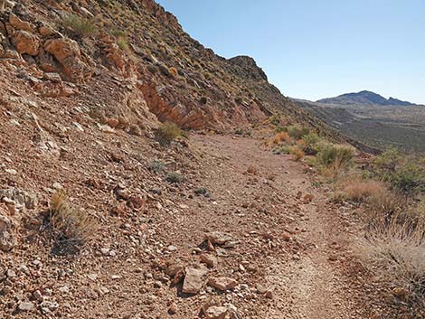 Arriving at first tunnel (view S) |
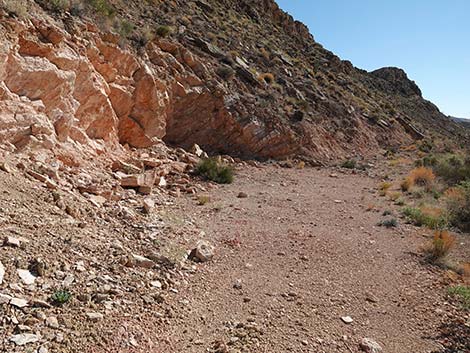 Arriving at the tunnel (view S) |
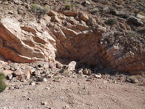 Oops, just a prospect --not a mine opening |
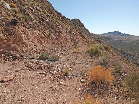 Continuing past the prospect (view S) |
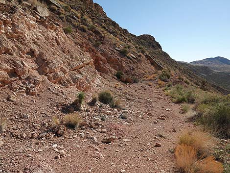 Approaching the actual mine opening (view S) |
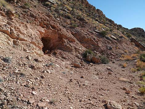 Arriving at the mine opening (view S) |
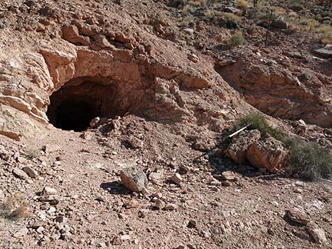 Uranium Mine opening (view SE) |
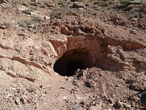 Uranium Mine opening (view E) |
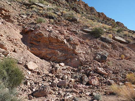 Approaching a second prospect (view SE) |
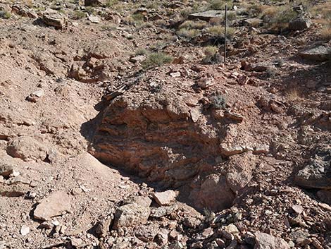 Second prospect (view SE) |
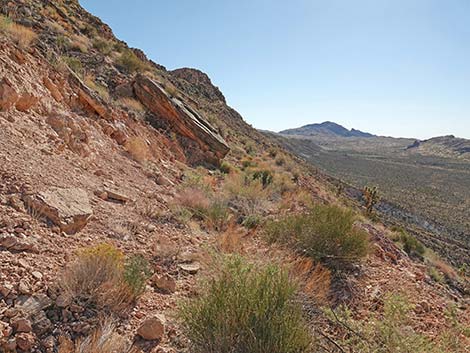 Road continues past the second prospect (view S) |
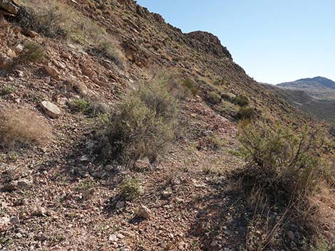 Past the second prospect, the road quickly ends (view S) |
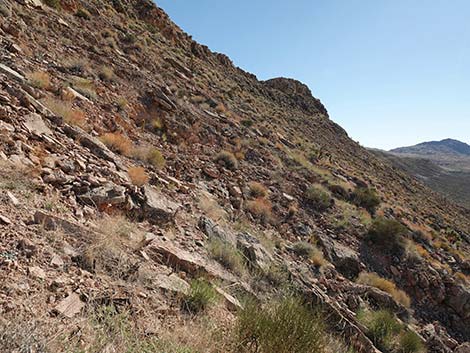 Beyond the end of the road (view S) |
Uranium Mine (proper)
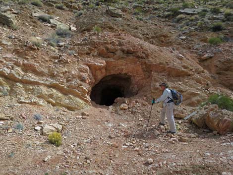 Hiker at mine opening (view E) |
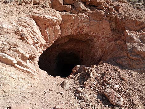 Uranium Mine (view E) |
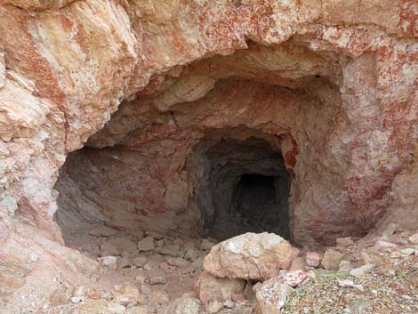 Approaching Uranium Mine (view E) |
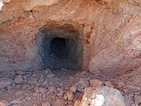 Mine opening; the back is visible in the darkness (view E) |
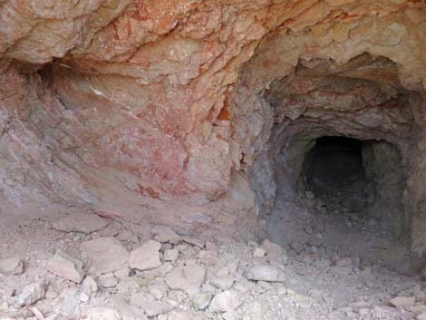 Inside mine opening; exploratory alcove on the left (view E) |
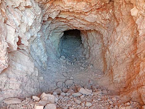 Inside mine opening (view E) |
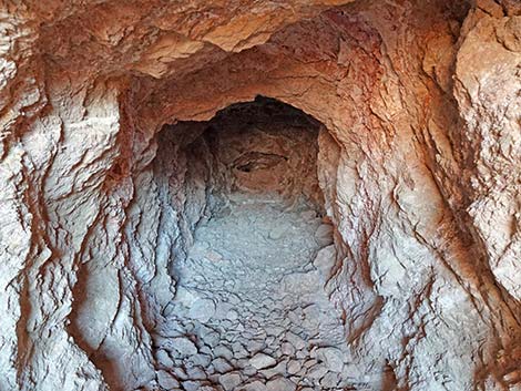 Inside mine tunnel (view E) |
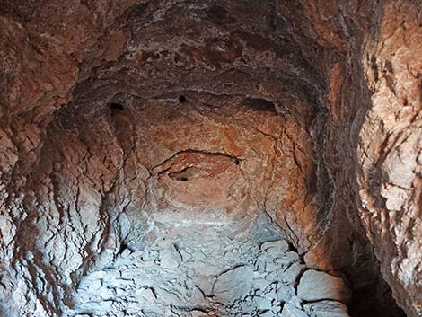 Inside mine tunnel (view E) |
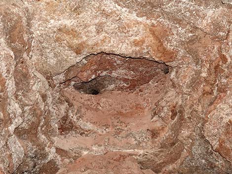 End of the mine tunnel (view E) |
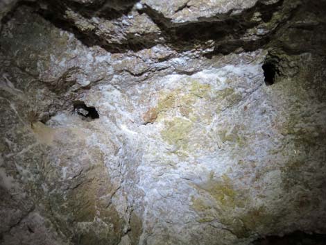 End of the mine tunnel with yellow ore and drill holes (view E) |
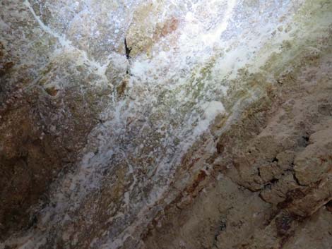 Crystalline minerals in the wall of the tunnel (view N) |
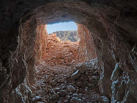 Back of the mine -- looking out (view W) |
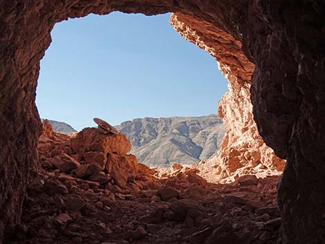 Inside the mine -- looking out (view W) |
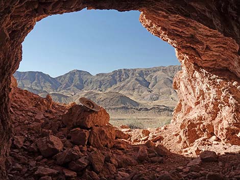 Inside the mine -- looking out (view W) |
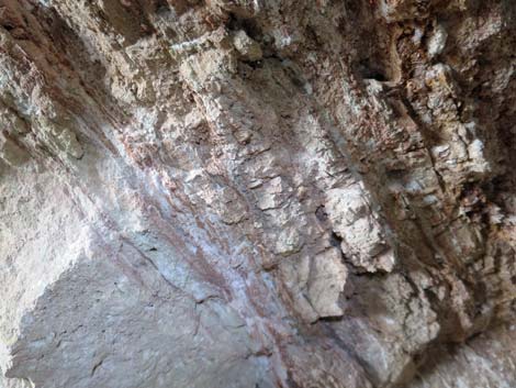 Layered strata inside the tunnel (view N) |
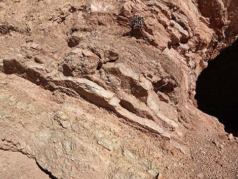 Layered strata outside the tunnel (view E) |
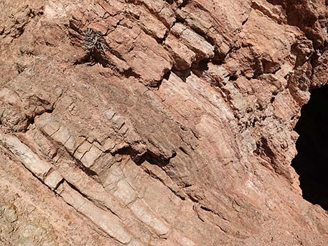 Layered strata outside the tunnel (view E) |
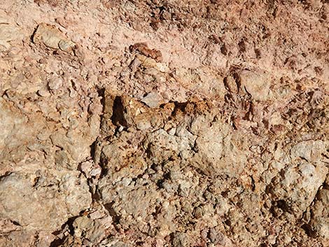 Yellow carnotite ore outside the tunnel (view E) |
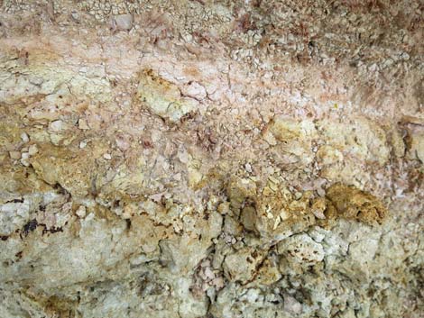 Yellow carnotite ore outside the tunnel (view E) |
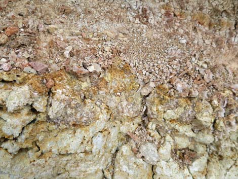 Yellow carnotite ore outside the tunnel (view E) |
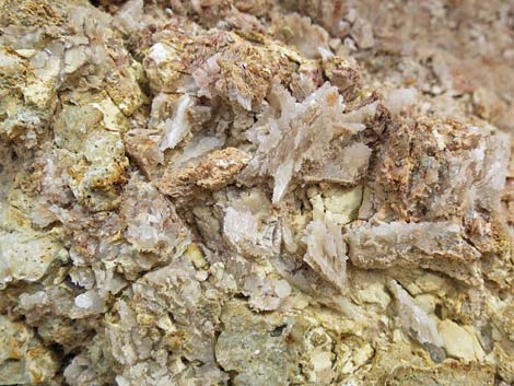 Yellow carnotite ore mixed with gypsum crystals (view E) |
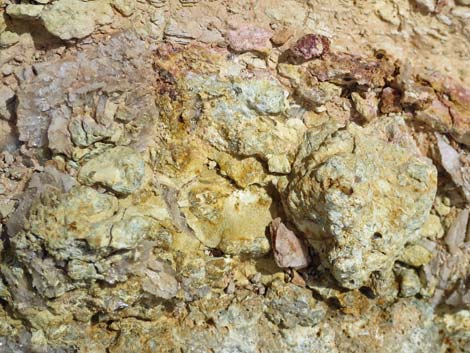 Yellow carnotite ore outside the tunnel (view E) |
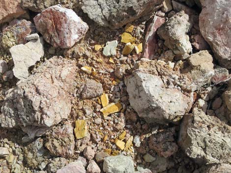 Yellow carnotite ore on the ground outside the tunnel (view down) |
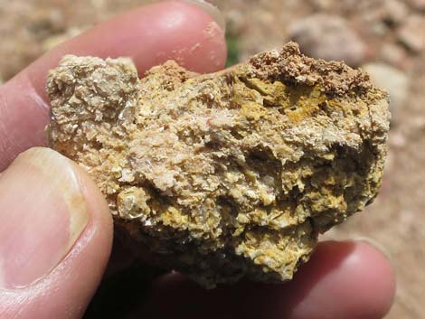 Yellow carnotite ore |
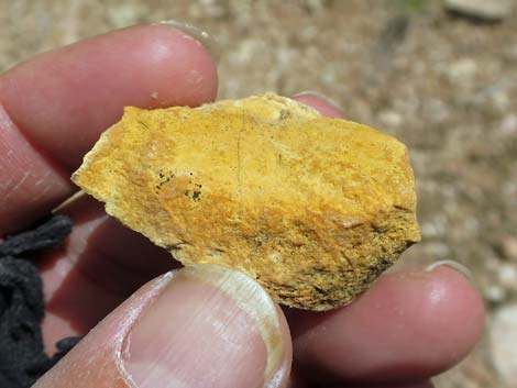 Yellow carnotite ore |
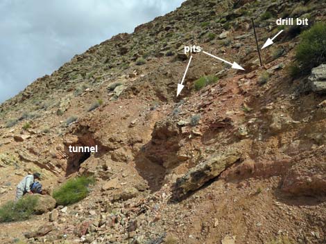 Just beyond tunnel, pits on hillside (view NE) |
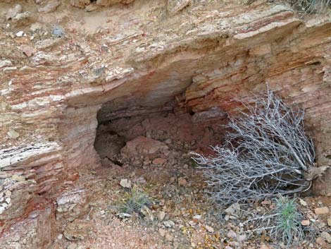 South pit (view E) |
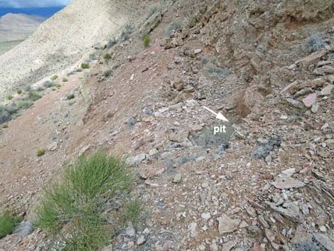 North pit (view N) |
Table 1. Hiking Coordinates Based on GPS Data (NAD27, UTM Zone 11S). Download Hiking GPS Waypoints (*.gpx) file.
| Wpt. | Location | UTM Easting | UTM Northing | Elevation (ft) | Point-to-Point Distance (mi) | Cumulative Distance (mi) |
|---|---|---|---|---|---|---|
| 01 | Trailhead | 755785 | 4022547 | 3,436 | 0.00 | 0.00 |
| 02 | Fork to Cabin Site | 755961 | 4022452 | 3,447 | 0.16 | 0.16 |
| 03 | Uppermost Switchback | 756460 | 4022441 | 3,829 | 0.50 | 0.66 |
| 04 | Uranium Mine | 756357 | 4022116 | 3,877 | 0.21 | 0.87 |
| 01 | Trailhead | 755785 | 4022547 | 3,436 | 0.87 | 1.74 |
Happy Hiking! All distances, elevations, and other facts are approximate.
![]() ; Last updated 240326
; Last updated 240326
| Hiking Around Gold Butte | Hiking Around Las Vegas | Glossary | Copyright, Conditions, Disclaimer | Home |