
Hiking Around Las Vegas, Hiking Lake Mead NRA

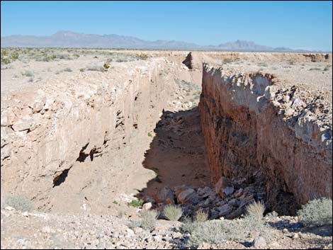 Double Negative South and North trenches (view S) |
Overview Double Negative is a land art sculpture on the edge of Mormon Mesa just east of Overton and overlooking the Virgin River a bit north of Lake Mead (outside Lake Mead National Recreation Area). The world-famous artist, Michael Heizer, created the piece in 1969, which in essence, is a sculpture consisting only of a defined, empty space. Heizer is concerned that documentation of his work misrepresents the sculpture because it can only be known by visiting the site in person, so the photos here are posted only to encourage visitation. The work is owned by the Museum of Contemporary Art, Los Angeles. To understand Double Negative, visitors need to realize that Heizer works in "negative space," which is empty space and invisible. Here, Mr. Heizer created a beam that spans the canyon. We can't see the beam because it is invisible, but evidence of the beam is given by the two brackets dug into the edges of the cliffs that hold the beam in place. Negative space is about what is not there, not what is there. Link to maps. |
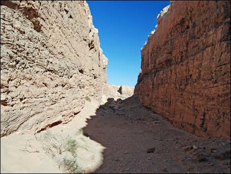 Inside Double Negative South Trench (view N) |
The sculpture was created using bulldozers to dig two 30-foot wide, 50-foot-deep trenches on opposite sides of a natural canyon. The north and south ends of the trenches are 1,500-feet apart, such that the piece includes the two trenches and the natural canyon between them. The "negative" refers to the 1,500-foot-long "negative space" beam. Visitors could think of this as an invisible curtain rod hung between two brackets set on a window frame. Michael Heizer is almost finished creating another massive land art project in Basin and Range National Monument, Lincoln County, Nevada. This new piece, called City, is about 1-1/4 miles long and 1/4 mile wide. Also on private land, an inholding, Mr. Heizer has been working on City since the 1960's. Hopefully it will be opened to the public before too long. |
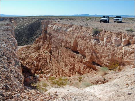 Double Negative North Trench (view S) |
Watch Out Other than the standard warnings about hiking in the desert, ... areas near the road are fairly safe, but the edge of the mesa and the edges of Double Negative are not safe because things crumble with time. Access to this area requires a high-clearance vehicle or very carefully driven sedan because the access road is rocky. While out and about, please respect the land and the other people out there, and try to Leave No Trace of your passage. If visitors wander from the road, nobody will find you, so be sure to bring the 10 Essentials. |
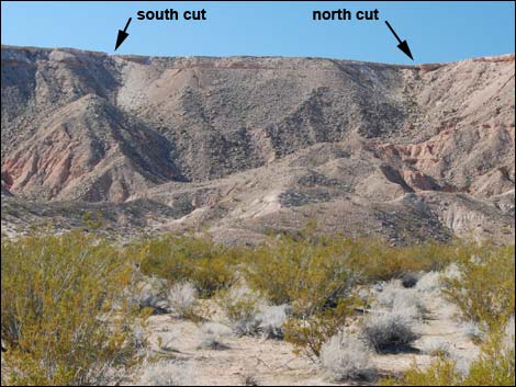 Edge of Virgin River (view W towards Double Negative) |
Getting to Double Negative Double Negative is located about 1.5 hours northeast of Las Vegas. The easiest way to get there from town is to drive north on Interstate-15 to the Logandale exit (Exit 93). Turn right onto Highway 169 and drive south through the towns of Logandale and Overton where gas, food, lodging, and other supplies are available. Drive south on Highway 169 for 11.1 miles to Cooper Street. Make a hard left at a gas station and drive north on Cooper Street for 1.1 miles. After crossing the Muddy River Bridge, the road forks. Stay right onto Mormon Mesa Road, which runs east past the airport. Drive east on Mormon Mesa Road (Google Maps calls this Carp-Elgin Road). At about 1.2 miles out, the pavement ends Table 1, Site 1554). At about 2.6 miles out, the graded dirt road climbs atop Mormon Mesa. In another 2.8 miles, drivers arrive at Double Negative Road, a 2-track road (Site 1555). Turn left and drive northeast 1.4 miles to South Trench (Double Negative South; Site 1556) and another 0.3 miles to North Trench (Double Negative North; Site 1557). There are many choices for which "road" to use, but continue northeast along the edge of the mesa. |
South Trench from Above
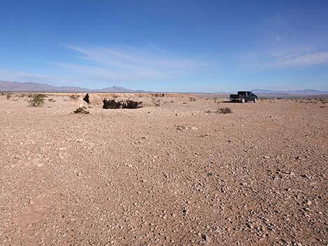 Arriving at South Trench (view NE) |
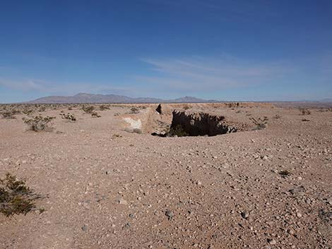 South Trench (view N) |
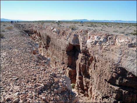 Morning view: South Trench (view SW) |
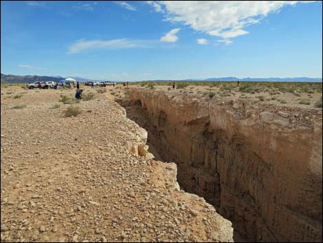 Afternoon View: South Trench (view SW) |
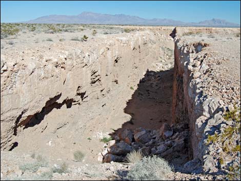 Double Negative south trench (view from S to N) |
 A bit of negative space inspired by Michael Heizer |
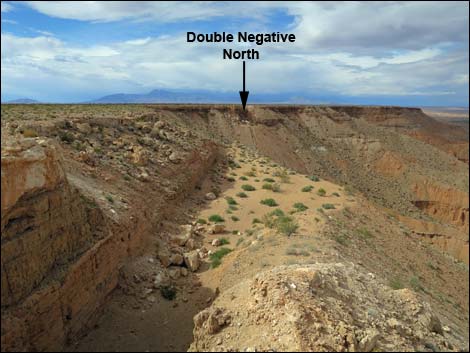 Morning view: North end of South Trench (view N) |
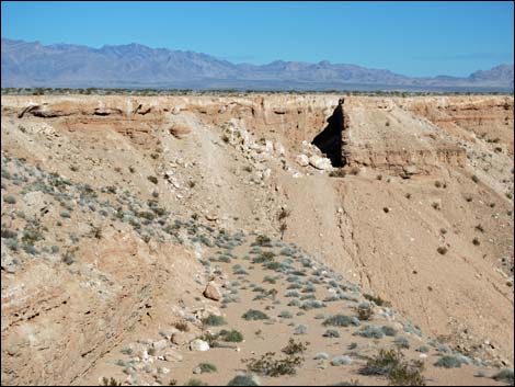 Afternoon View: North end of South Trench (view N; zoom) |
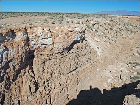 Double Negative south trench (view NW) |
 More to come ... |
Descending into South Trench
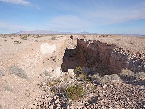 Descending into South Trench (view N) |
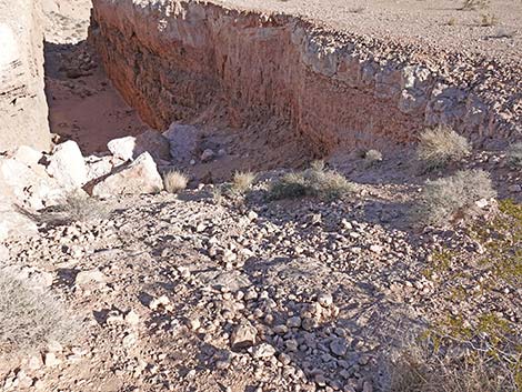 Stay left starting down into South Trench (view NW) |
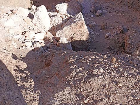 Staying left to the boulders (view N) |
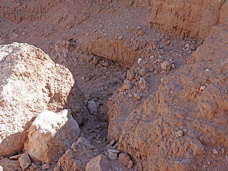 At the boulders, traverse to the other side (view NE) |
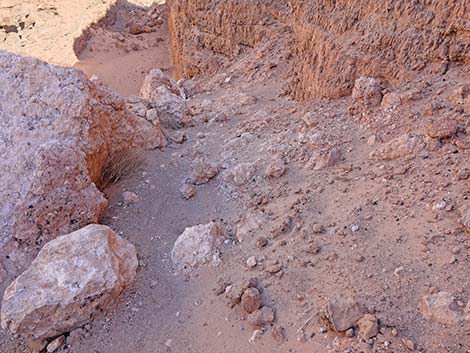 Descending around the boulders (view N) |
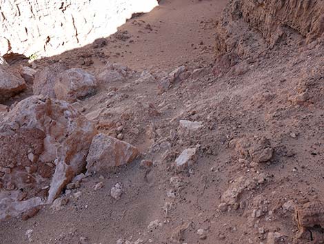 Arriving at the bottom of South Trench (view N) |
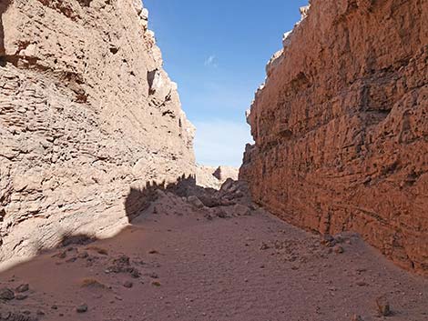 Double Negative inside south trench (view N) |
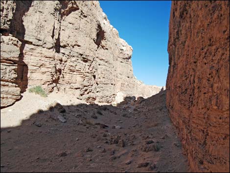 Double Negative inside south trench (view N) |
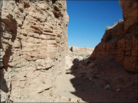 Double Negative inside south trench (view N) |
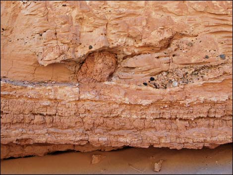 Geology inside South Trench |
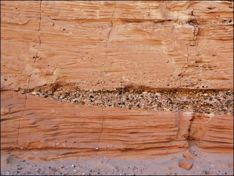 Geology inside South Trench |
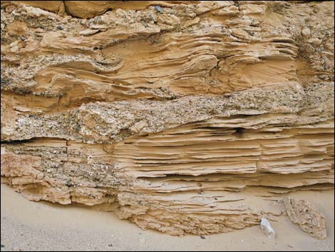 Geology inside South Trench |
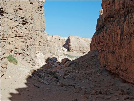 Inside South Trench (view N) |
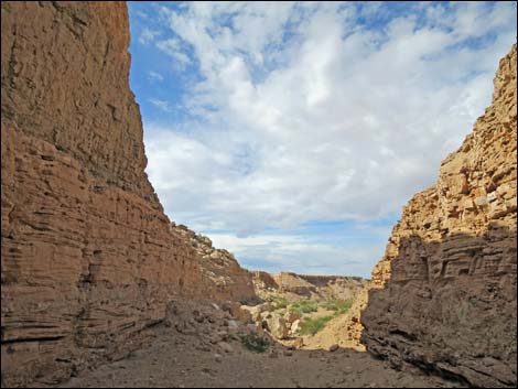 Approaching the end of the South Trench cut (view N) |
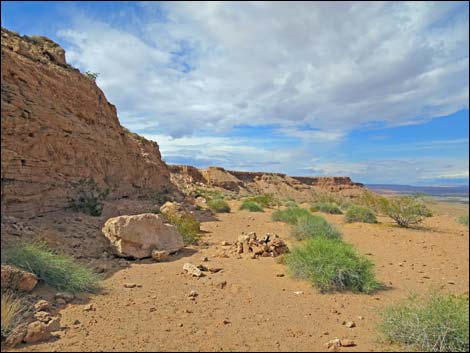 Beyond the end of the South Trench cut (view N) |
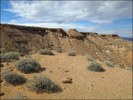 Approaching the end of South Trench (view N) |
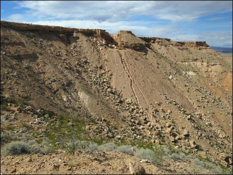 North Trench (view N from the end of South Trench) |
 More to come ... |
Exiting South Trench
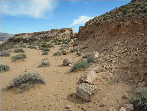 Returning up through South Trench (view S) |
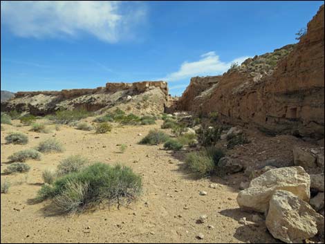 South Trench (view S) |
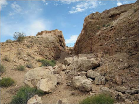 Re-entering South Trench (view S) |
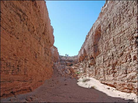 Inside South Trench (view S) |
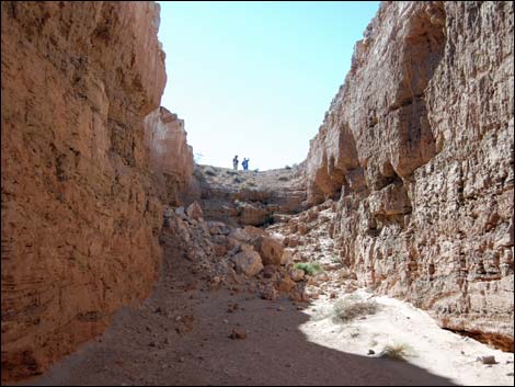 Inside South Trench (view S) |
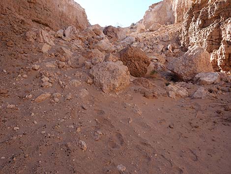 Starting the climb out of South Trench (view S) |
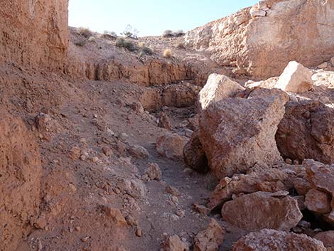 Climbing out of South Trench (view S) |
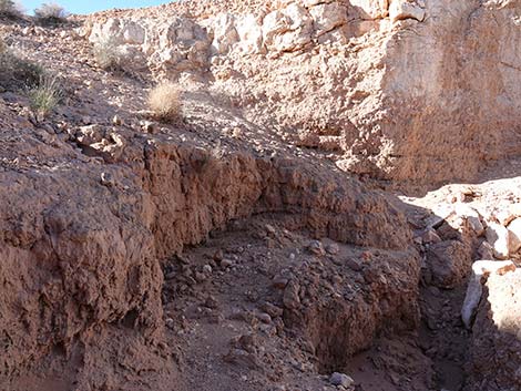 Climbing out of South Trench (view S) |
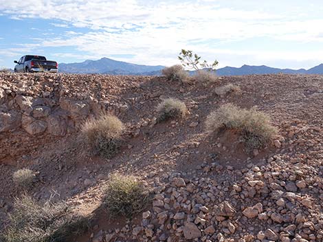 Climbing out of South Trench (view S) |
 More to come ... |
North Trench from Above
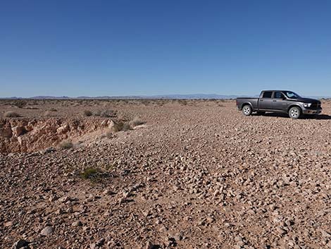
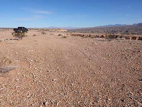 Arriving at North Trench parking (view NE) |
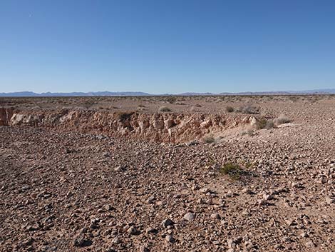
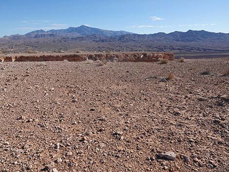 North Trench parking: watch the edge! (view E) |
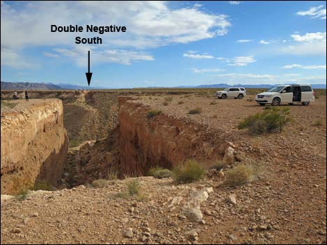
 North Trench parking: watch the edge! (view SW) |
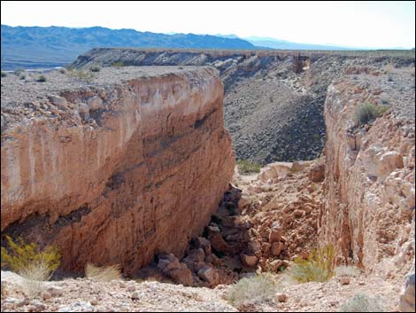
 North Trench (view SW) |
 North Trench (view S) |
 North Trench (view S) |
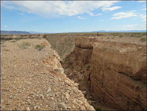 North Trench (view SW) |
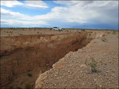 North Trench (view NE) |
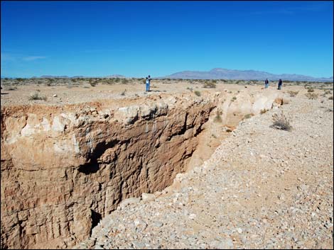 North Trench (view NW) |
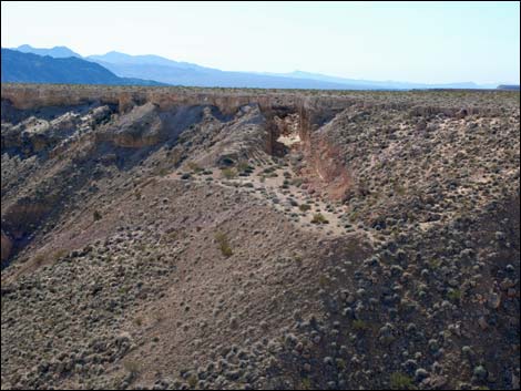 Double Negative South Trench (view from S from North Trench) |
Descending into North Trench
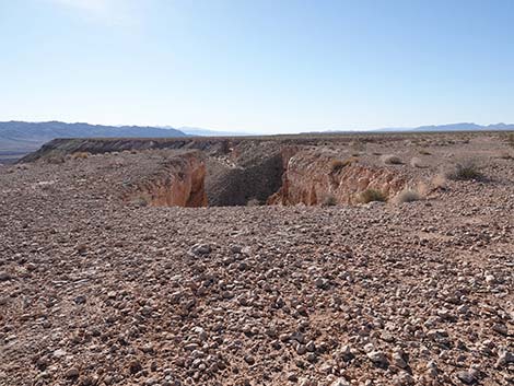 |
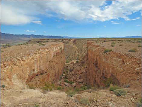 |
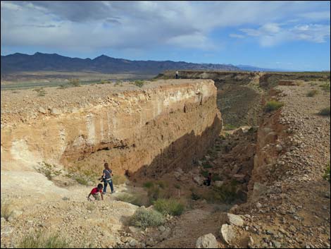 |
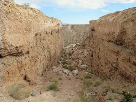 |
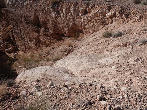 East side of trench -- better to descend the other side (view SW) |
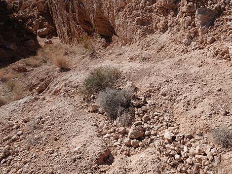 West side of the trench -- better to descend this side (view SW) |
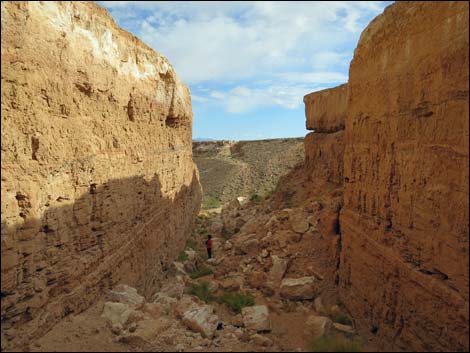 Descending into North Trench (view S) |
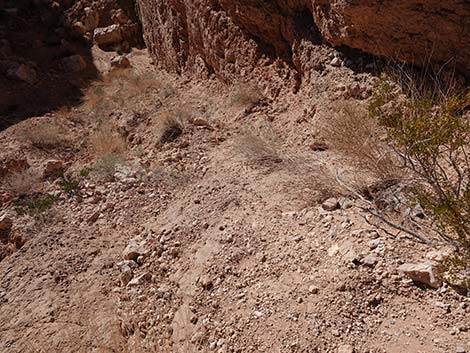 With care, it's not as slippery as it looks (view S) |
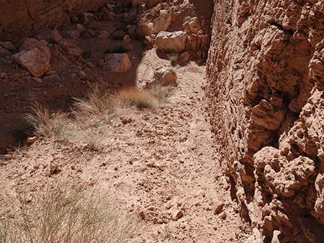 Descending west side of North Trench (view S) |
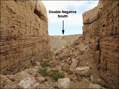 Descending into North Trench (view S) |
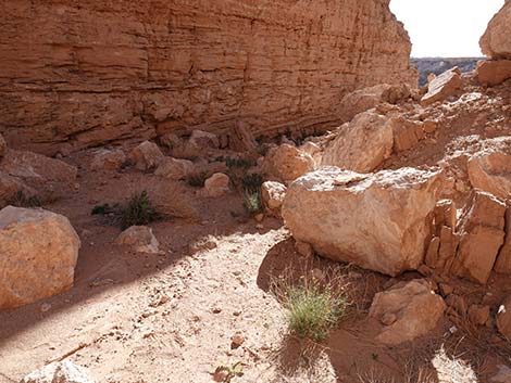 Arriving at the bottom of North Trench (view S) |
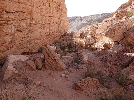 Bottom of North Trench (view S) |
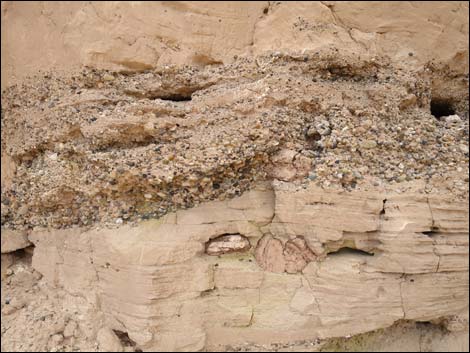 Geology inside North Trench |
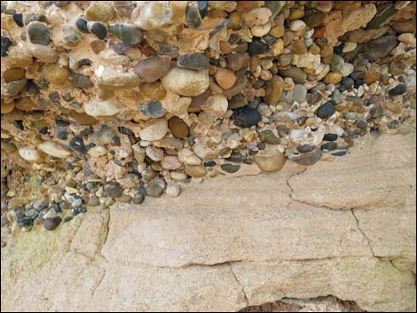 Geology inside North Trench |
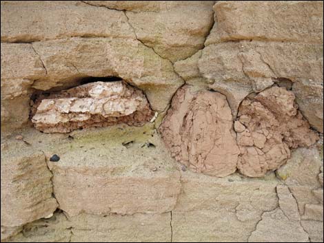 Geology inside North Trench (the green doesn't show in the photo) |
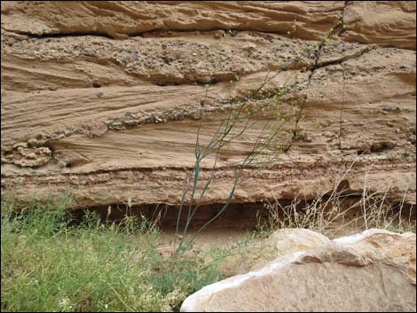 Geology inside North Trench |
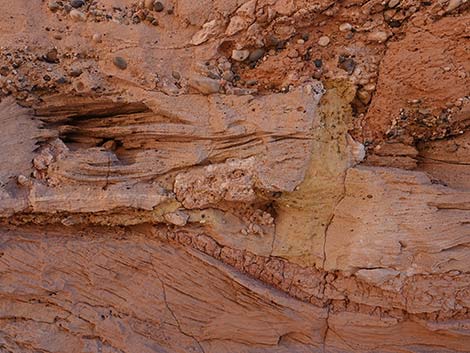 Geology inside North Trench (view N; the green doesn't show) |
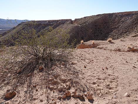 Arriving at the end of North Trench (view S) |
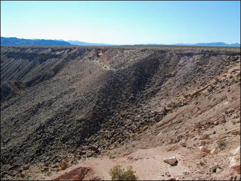 End of North Trench (view S) |
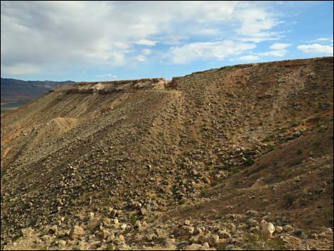 South Trench (view S from end of North Trench) |
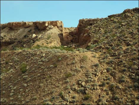 South Trench (view S from end of North Trench; zoom) |
 More to come ... |
Exiting North Trench
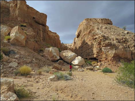 North Trench (view N from end of North Trench) |
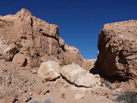 Entering North Trench (view N) |
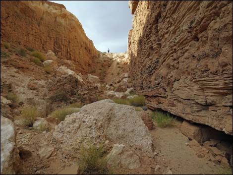 Inside North Trench (view N) |
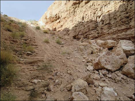 The east side looks good from below, but stay left (view N) |
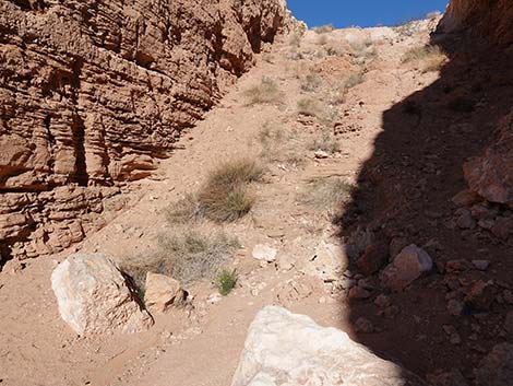 Best route stays left along the wall (view N) |
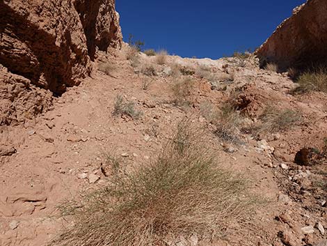 Climbing the steep left slope (view N) |
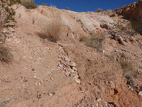 Climbing the steep left slope (view N) |
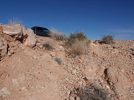 Arriving atop North Trench (view N) |
Views over the Virgin River
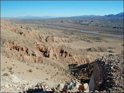 Near South Trench (view NE along the Virgin River) |
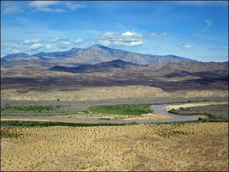 Near North Trench (view NE to Virgin River and the Virgin Mts) |
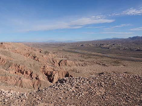 Near South Trench (view NE along the Virgin River) |
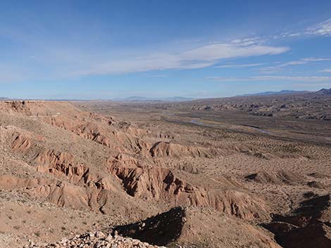 Near South Trench (view NE along the Virgin River) |
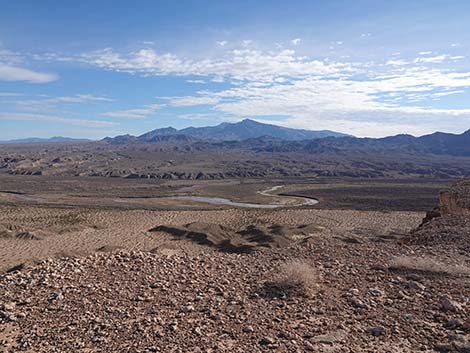 Near South Trench (view NE along the Virgin River) |
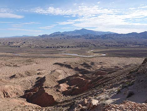 Near South Trench (view NE along the Virgin River) |
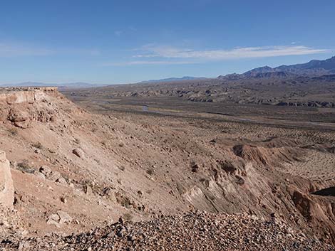 Near North Trench (view NE to Virgin River) |
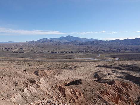 Near North Trench (view NE to Virgin River) |
Between the Trenches
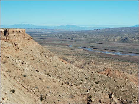 Edge of Mormon Mesa (view NE up the Virgin River Valley) |
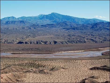 Edge of Mormon Mesa (view E towards Virgin Mountain) |
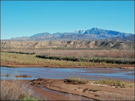 Edge of Virgin River (view E towards Virgin Mountain) |
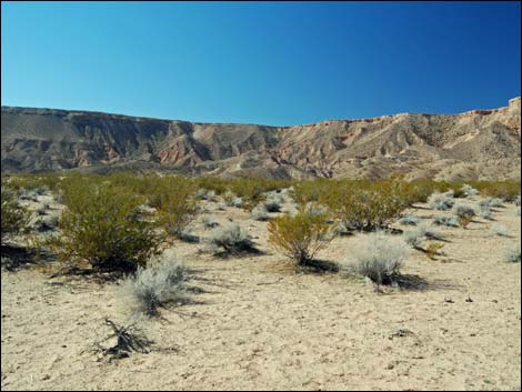 Edge of Virgin River (view W towards Double Negative) |
Table 1. Highway Coordinates and Distances based on GPS Data (NAD27). Download Highway GPS Waypoints (gpx) file.
| Wpt. | Location | Latitude (N) | Longitude (W) | Elevation (ft) | Point-to-Point Distance (mi) | Cumulative Distance (mi) |
|---|---|---|---|---|---|---|
| 1554 | Mormon Mesa Rd, End of Pavement | 36.57131 | 114.42561 | 1,424 | 0.00 | 0.00 |
| 1555 | Mormon Mesa Rd at Double Negative Rd | 36.59766 | 114.35850 | 1,791 | 4.33 | 4.33 |
| 1556 | Double Negative South | 36.61339 | 114.34358 | 1,791 | 1.43 | 5.76 |
| 1557 | Double Negative North | 36.61720 | 114.34389 | 1,791 | 0.29 | 6.05 |
Happy Hiking! All distances, elevations, and other facts are approximate.
![]() ; Last updated 250316
; Last updated 250316
| Hiking Wilderness | Hiking Lake Mead | Hiking | Glossary | Copyright, Conditions, Disclaimer | Home |