Hiking Around Las Vegas, Lake Mead Region
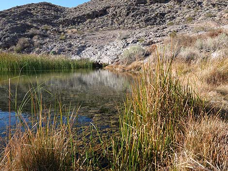
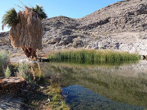
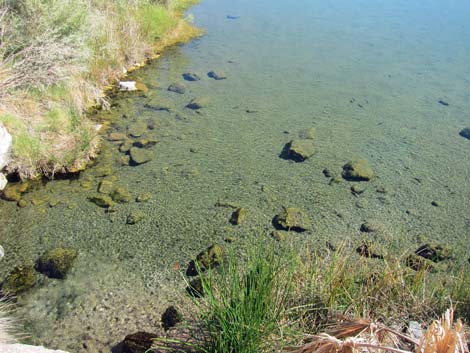
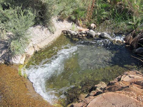
 Rogers Spring inflow stream and pool (view SE) |
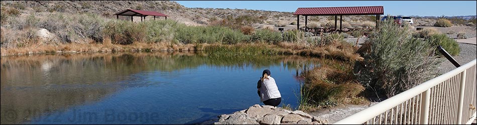
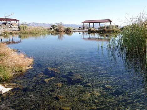
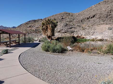
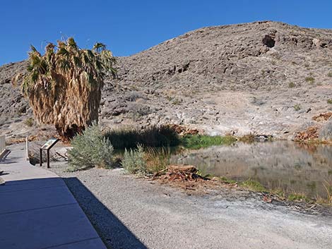
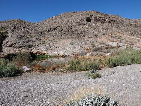
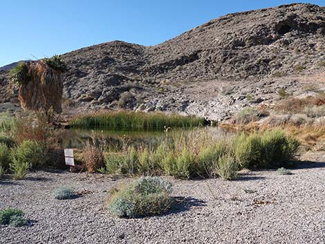
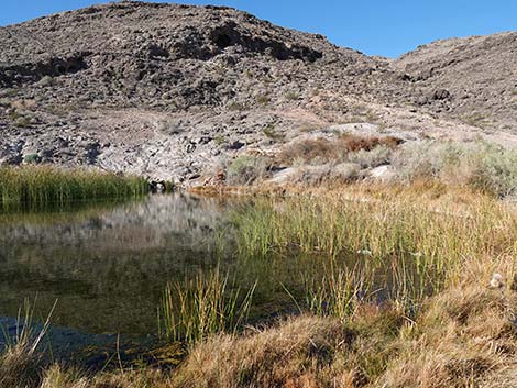
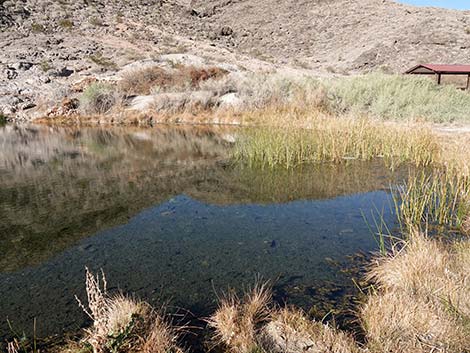
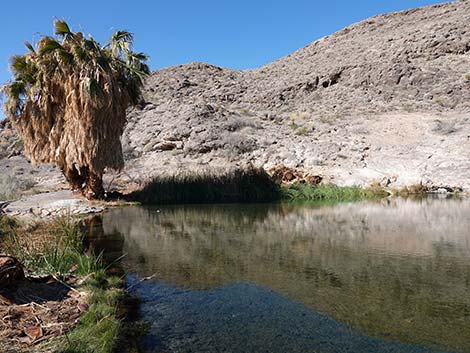
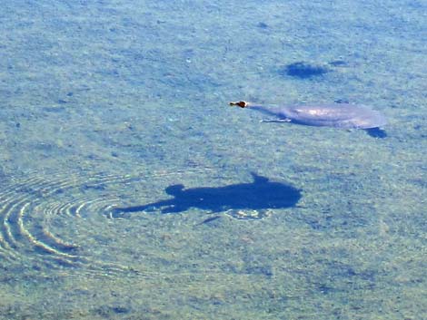
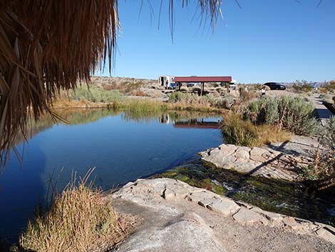
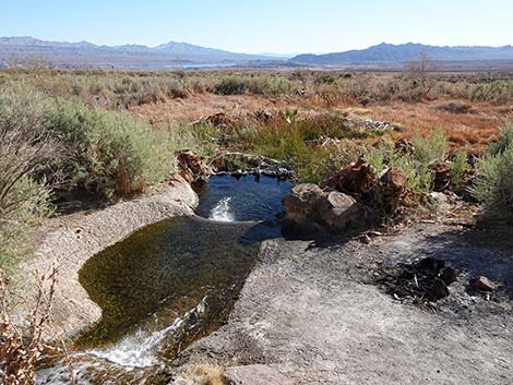
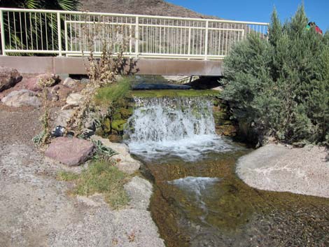
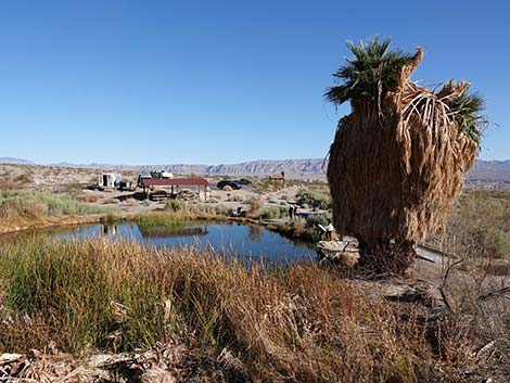
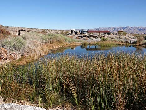
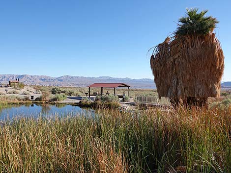
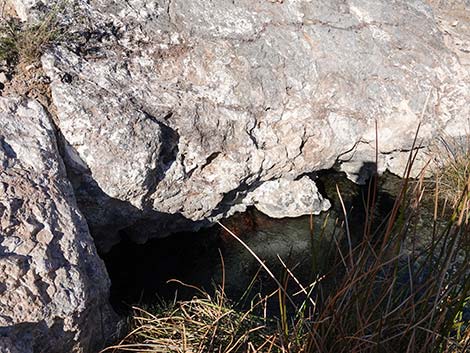
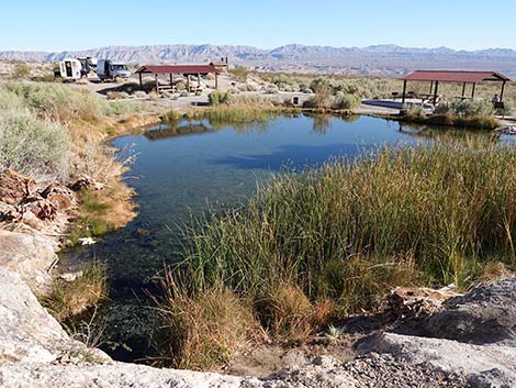
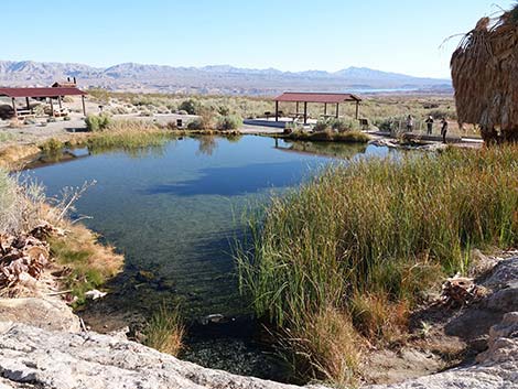
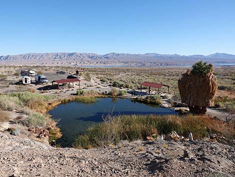
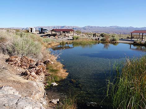
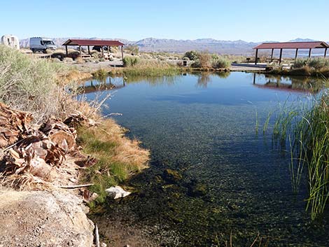
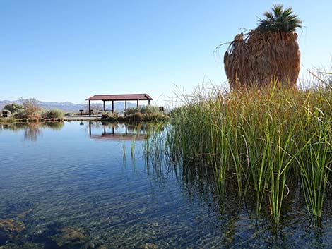
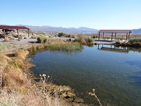
Description Rogers Spring is a place to seek refuge from the desert heat while sitting beneath California Fan Palms or a covered picnic table, taking a dip in the warm water, having a picnic lunch, and watching a few birds and other wildlife. This isn't a birding destination; but it is one of several good places to stop and watch a few birds along the north side of Lake Mead. Most of the palms and some other trees have been cut down by the Park Service in an effort to restore the area to a more natural condition (palms are not native here), but the palms try to grow back, so vegetation conditions keep changing. Water flows from a cave in the hillside into a 50-ft wide circular pool that is fairly shallow and mostly surrounded by Southern Cattails, Saltcedar, California Fan Palms, and shrubs. The water is held behind a low earthen dam, but it overflows the dam and runs down a shrub-lined creek and out into the desert. Green riparian vegetation, including Canyon Grape, in this sparsely vegetated section of the Mojave Desert attracts desert species year-round and migrants during spring and fall. |
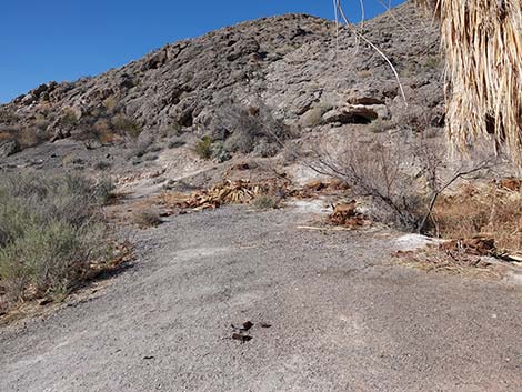
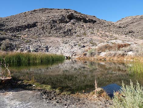
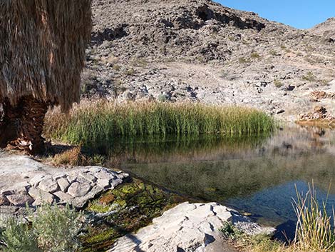
 The spring emerges from under these rocks in the distance |
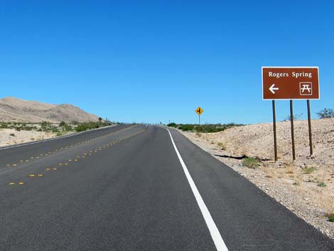
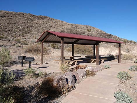
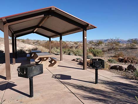
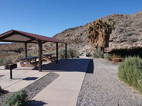
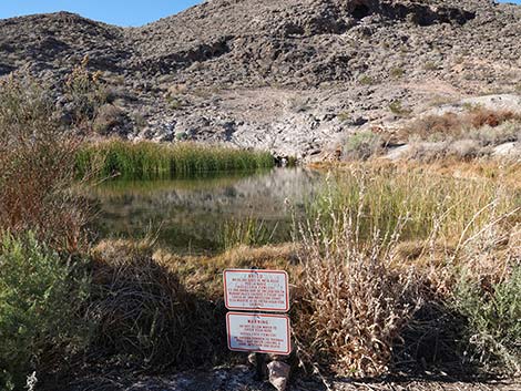
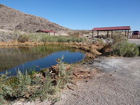
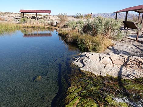
Covered picnic tables and pit toilets are available, but there is no drinking water. Swimmers should keep their nose out of the water because a pathogenic amoeba, Naegleria fowleri, may be present (as it is in most warm waters and backyard hot tubs around the USA). Location Rogers Spring is located on the north side of Lake Mead near Echo Bay, about 1 hour east of Las Vegas. From downtown, drive out Lake Mead Blvd to Lake Mead National Recreation Area. At the T-intersection with Northshore Road (Table 1, Site 653), turn left onto Northshore Road and drive east for about 45 minutes to Rogers Spring Road. Turn left onto Rogers Spring Road and drive towards the hills for the short distance to the end of the road. The parking area overlooks the picnic tables and the spring pool (Site 538). |
 |
Hours Sunrise to sunset; this is a day-use area. Fees It costs $10 per vehicle to enter the Recreation Area (annual passes accepted); after that, there are no extra fees for using the spring area. |
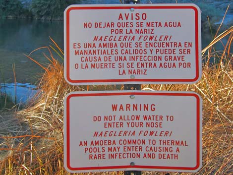 Swimmer's Warning: keep Naegleria out of your nose! |
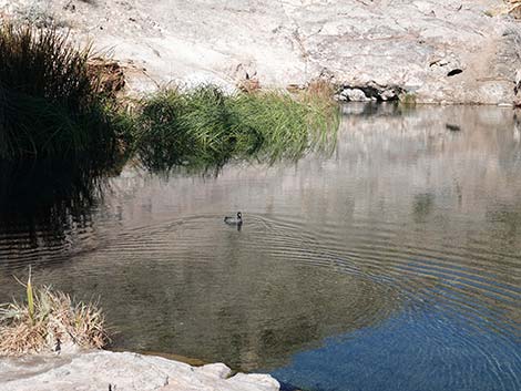
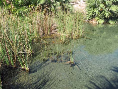
Specialties This is a good place to check the trees and shrubs for desert residents and to look for migrants during spring and fall. Also watch for Spiny Softshell Turtles and Red-eared Slider Turtles. The softshells might be native, but the red-ears are not. This spring has also been polluted with tropical aquarium fish. Please don't put exotic species in desert spring pools, they damage the ecosystem and kill native species. During summer, Desert Bighorn Sheep come to the spring for water. Keep an eye out for dragonflies such as Flame Skimmers and Pale-faced Clubskimmer too. |
Arriving at Rogers Spring
 Northshore Road at Rogers Spring (view N) |
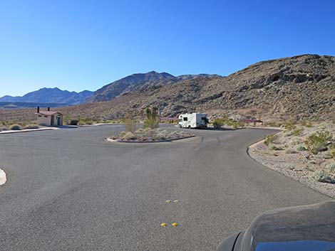
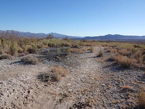
 Northshore Road turn to Rogers Spring at mile-post 40 (view N) |
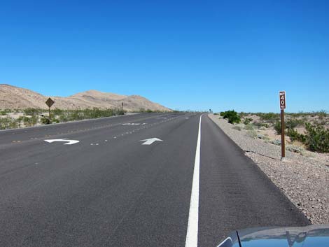
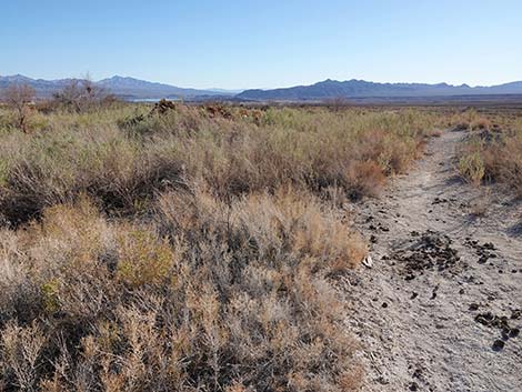
 Rogers Spring access road (view W) |
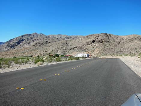
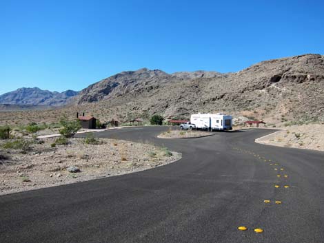 Rogers Spring access road and parking (view W) |
 Entering Rogers Spring parking area (view W) |
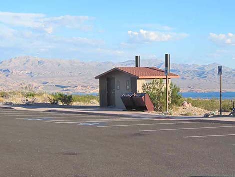 Restrooms (view SE) |
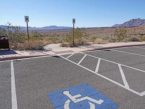
 Reserved parking (view SW) |
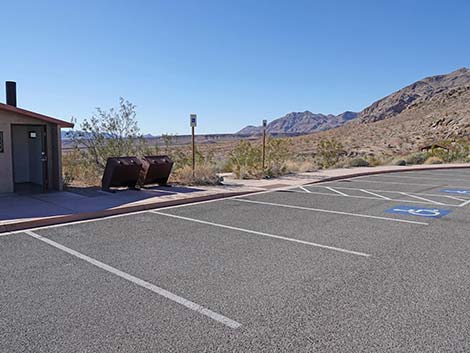
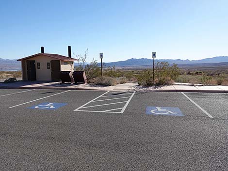 Accessible parking (view S) |
Rogers Spring Trails
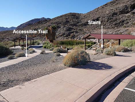 Two trails to the pond (view SW) |
 Start of accessible trail to picnic area and spring (view SW) |
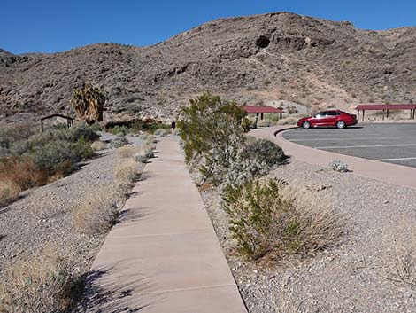 Accessible trail to picnic area and spring (view W) |
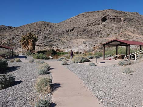 Accessible trail to picnic area and spring (view W) |
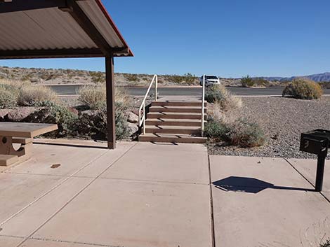
 Start of stairs to picnic area and spring (view W) |
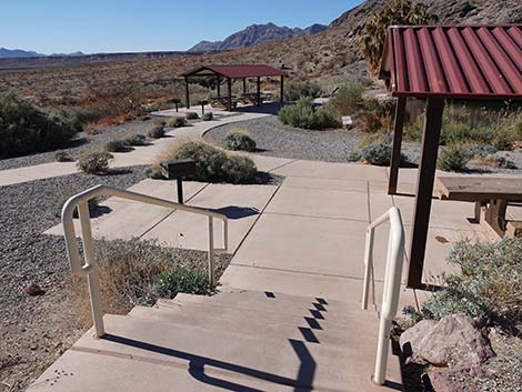 Stairs to the pond (view W) |
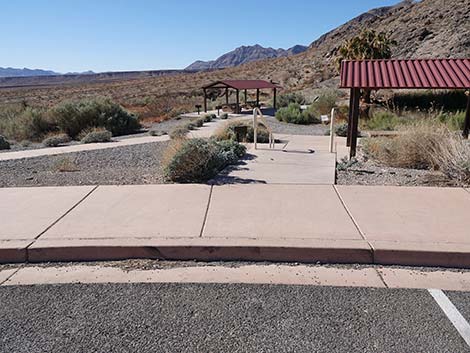
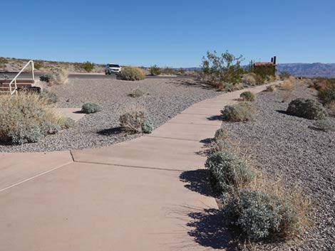
 Concrete trail to the pond (view W) |
 Accessible trail to the pond (view W) |
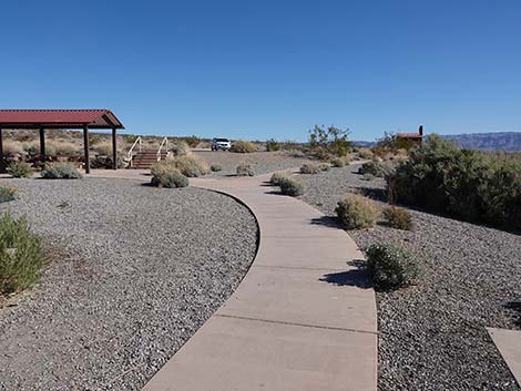
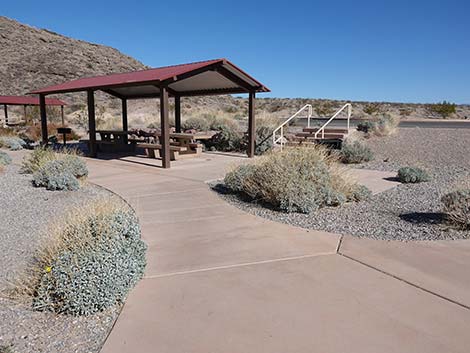
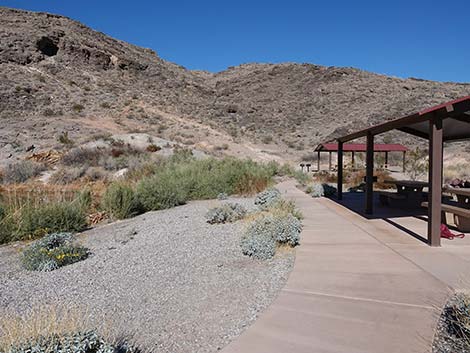 Accessible trail to the covered picnic shelters (view N) |
 Covered picnic shelters (view N) |
 |
 |
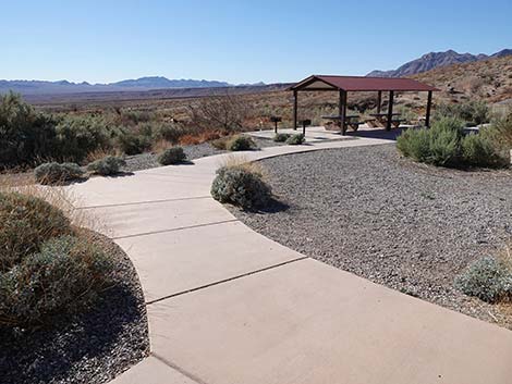
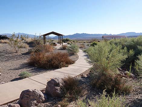
 Paved trail continues along pond edge (view W) |
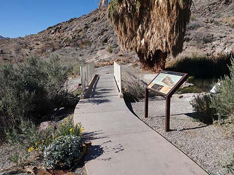 Approaching information sign and bridge over outflow stream |
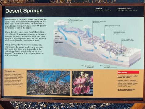 Sign: Desert Springs |
 End of the dike; use-trails continue into the desert |
Rogers Spring Pond
 Approaching Rogers Spring pool (view NE) |
 Approaching Rogers Spring pool (view NE) |
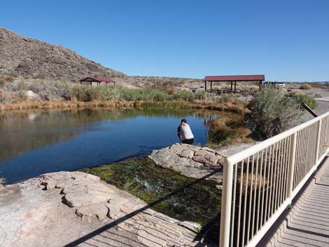
 Rogers Spring pool and warning sign (view NE) |
Warning signs; but focus on "rare infection" (view NE) |
 Rogers Spring pool (view NE) |
 Rogers Spring pool (view NE) |
 |
 |
 |
 |
 |
 |
Rogers Spring |
 Spring inflow |
 |
 |
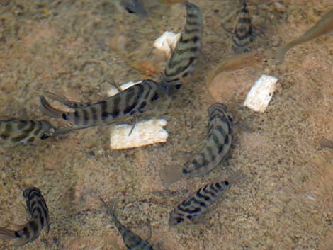 Spring pool is infested with tropical aquarium fish (convict cichlids) |
 Native Spiny Softshell Turtle |
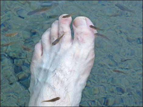 One of my favorite things: ... |
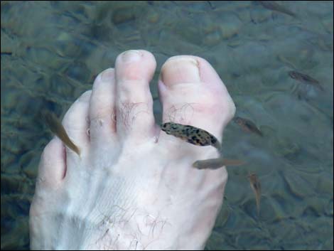 ... pedicure by fish! |
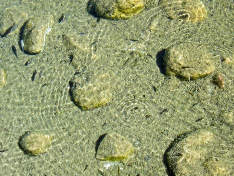 Lots of little fish |
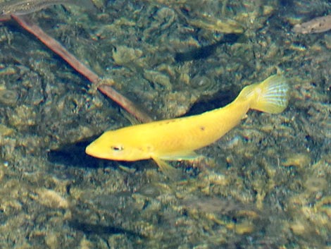 Curious yellow fish |
Rogers Spring Outflow
 Rogers Spring outflow |
 Rogers Spring outflow stream (view S) |
 Rogers Spring outflow |
 Rogers Spring outflow |
Across and Above the Pond
 |
 |
 |
 |
 |
 |
 |
 |
 |
 |
 |
 |
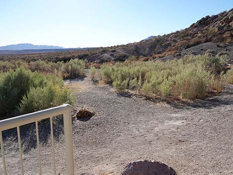
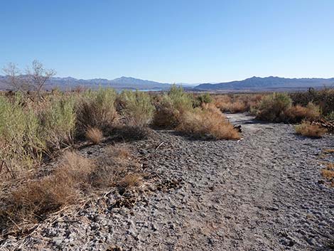
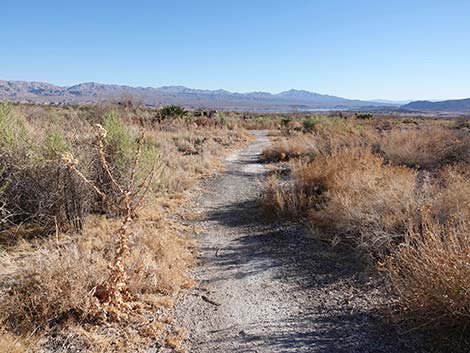
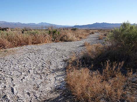
Trail Along Outflow Stream
|
 |
 |
 |
 |
 |
 |
 |
Departing Rogers Spring
 Leaving the spring area (view E) |
 Accessible trail forks to the right towards the restrooms (view E) |
 Stairs trail forks to the left passing picnic shelters (view NE) |
 Stairs lead to the parking lot (view E) |
 Departing from the farther picnic shelter (view S) |
 More to come ... |
Table 1. GPS Coordinates for Highway Locations (NAD27; UTM Zone 11S). Download Highway GPS Waypoints (*.gpx) file.
| Site # | Location | Latitude (°N) | Longitude (°W) | UTM Easting | UTM Northing | Elevation (feet) | Verified |
|---|---|---|---|---|---|---|---|
| 0538 | Rogers Spring | 36.3778 | 114.4425 | 729423 | 4028693 | 1,612 | Yes |
| 0653 | Lake Mead Blvd at Northshore Road | 36.1434 | 114.888 | 690025 | 4001715 | 1,390 | Yes |
Happy birding! All distances, elevations, and other facts are approximate.
![]() ; Last updated 240326
; Last updated 240326
| Birding Around Las Vegas | Southern Nevada Birds | Guide Service | Copyright, Conditions, Disclaimer | Home |