
Hiking Around Las Vegas, Lake Mead National Recreation Area

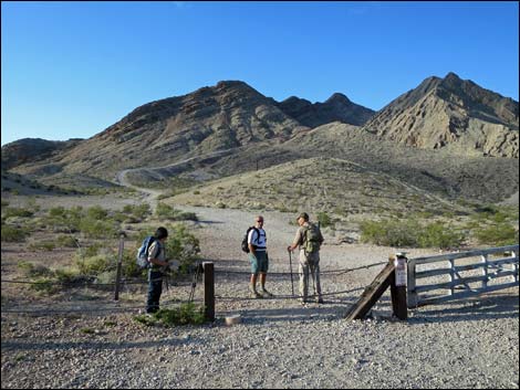 Hikers at trailhead (view S) Hikers at trailhead (view S) |
Overview Frenchman Mountain is the highest peak in the craggy mountain range that forms the eastern border of the Las Vegas Valley. The range is composed of two peaks: Sunrise Mountain to the north and Frenchman Mountain to the south, which are separated by Lake Mead Blvd. From downtown, drive out towards Lake Mead on Lake Mead Blvd (not to be confused with Lake Mead Parkway in Henderson). Lake Mead Blvd passes Hollywood Blvd (the last stop light), leaves town, and runs up the canyon between Sunrise Mountain on the left and Frenchman Mountain on the right. Passing the last houses, Las Vegas Blvd. pinches down from 4 lanes to 2 lanes. From that point, continue east 1.4 miles to a parking lot (Table 1, Site 0810) on the right with a gate through the highway fence and "Area Closed" signs (referring to private vehicles). Park here; this is the trailhead. Don't block the gate. Lock your car. Link to map. |
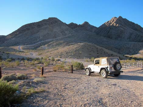 Frenchman Mountain Trailhead (view S) |
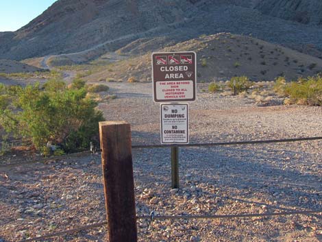 Frenchman Mountain Trailhead (view S) |
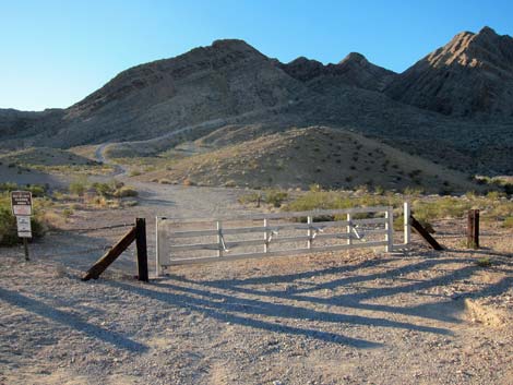 Trailhead and service road-trail (view S) |
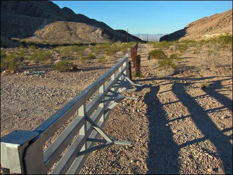 Don't drive into this gate! (view S) |
Table 1. Highway Coordinates Based on GPS Data (NAD27; UTM Zone 11S). Download Highway GPS Waypoints (*.gpx) file.
| Site # | Location | Latitude (°N) | Longitude (°W) | UTM Easting | UTM Northing | Elevation (feet) | Verified |
|---|---|---|---|---|---|---|---|
| 0810 | Lake Mead Blvd trailhead | 36.2023 | 114.9885 | 680842 | 4008065 | 2,420 | Yes |
Happy Hiking! All distances, elevations, and other facts are approximate.
![]() ; Last updated 240328
; Last updated 240328
| Hiking Around Lake Mead | Hiking Around Las Vegas | Glossary | Copyright, Conditions, Disclaimer | Home |