
Hiking Around Las Vegas, Mojave National Preserve

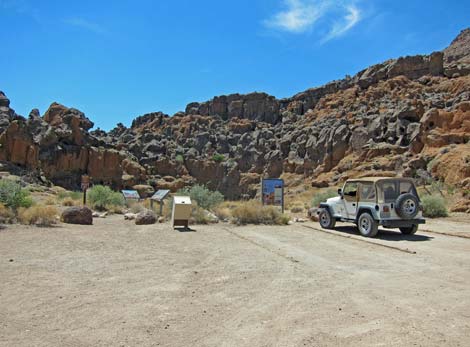 Rings Trail trailhead parking (view W) |
Overview The Barber Loop Trail makes a 5.5-mile circumnavigation of Barber Peak (aka Barbour Peak), the peak west of Hole in the Wall Campground. The loop makes a nice dayhike from the campground, as the grades generally are easy, and the scenery is grand. As a loop, hikers can start anywhere and walk in either direction, but the logical starts are the Hole-in-the-Wall Campground and the Hole-in-the-Wall Picnic Area. As described here, the route starts at the picnic area and runs west on the Rings Trail, then north on the Hole-in-the-Wall to Mid Hills Trail, loops around the north side of Barber Peak on an old road, and then returns south across the flanks of Barber Peak. A shorter loop, the Cactus Garden Loop, follows the segment that runs across slopes above the campground. For images of hiking in the other direction, see Barber Loop Trail Backwards. Link to map. |
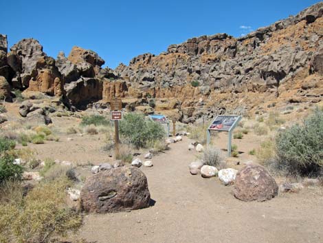 Rings Trail trailhead (view W from parking area) |
Watch Out Other than the standard warnings about hiking in the desert, ... this is a pretty safe hike, but watch for low-growing cactus and yuccas hiding along the route just waiting to surprise inattentive hikers. The ringbolts on the Rings Trail are more awkward than they look. While hiking, please respect the land and the other people out there, and try to Leave No Trace of your passage. Also, be sure to bring the 10 Essentials. as this is remote and little-visited country. Getting to the Trailhead This hike is located in the Mojave National Preserve, about 2 hours south of Las Vegas. From town, drive south to Hole-in-the-Wall Visitor Center, which is about 85 miles south of Las Vegas. Continue west on Hole-in-the-Wall Road to the picnic area at the end of the road. The western-most point on the loop road is the Rings Trailhead. Park here; this is the trailhead. Alternatively, hikers can start the hike from the Hole-in-the-Wall Campground Trailhead. |
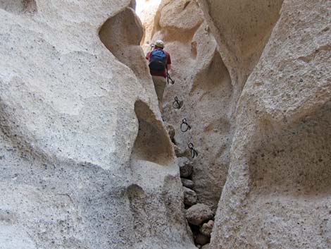 Hiker backing down the 2nd set of ringbolts (view E) |
The Hike From the trailhead (Table 1, Waypoint 01) at the Hole-in-the-Wall Picnic Area, the route starts westward on the Rings Trail. The route follows the Rings Trail down through Banshee Canyon, a narrow cleft in the cliffs, to the desert floor below. For details of this section, see the Rings Trail. From the bottom of Banshee Canyon, the Barber Loop runs down to a trail junction (Wpt. 02) with the Rings Loop Trail. The Barber Loop stays straight and heads out across the desert, while the Rings Loop Trail turns left and stays along the base of the cliffs to the south. The Barber Loop runs around the south (left) side of the striking promontory crag that can be seen from the bottom of Banshee Canyon. Past the crag, the trail drops into a sandy wash and runs upstream. Watch for carsonite trail markers. The trail eventually exits the wash (Wpt. 03) and begins to climb gently across the bajada to the west. |
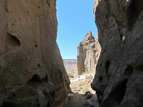 Exiting Banshee Canyon Slot (view W) |
At about 0.94 miles out, the Barber Loop hits a T-intersection (Wpt. 04) with the Wild Horse Spur Trail. The spur trail runs south 0.30 miles to Wild Horse Road (Wpt. 04a), which is an alternative start for hikes in this area. From the trail junction, the Barber Loop Trail turns right and runs northwest towards what appears to be a saddle (Wpt. 06) on the horizon, but which actually is a narrow gap between the mountains. For details of this section, see the description of the HW-MH Trail. Consider also making the detour to the World's Tallest Yuccas while in this area (requires no back-tracking). From the saddle (Wpt. 06), the Barber Loop Trail drops gently to pass through a gate (sign: 6.2 miles to MH; Wpt. 07), and then drops more steeply into a sandy wash below. In the wash, the trail enters the area burned in the 2005 Hackberry Fire. |
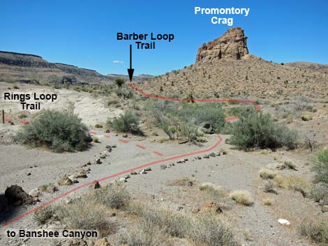 Trail junction below Banshee Canyon (view W) |
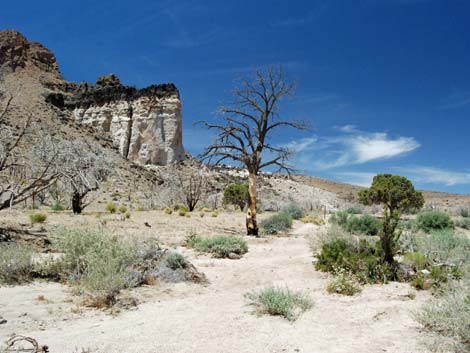
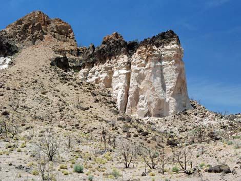
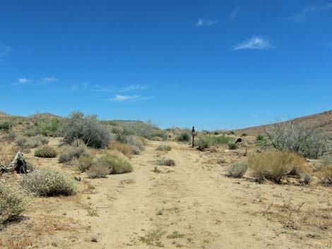
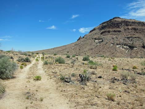
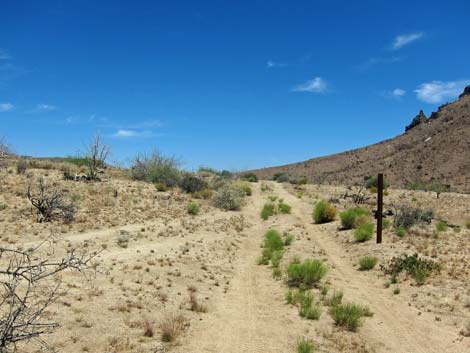
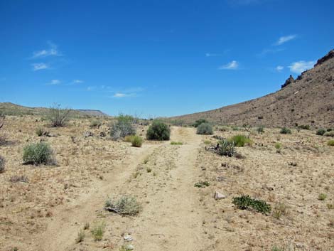
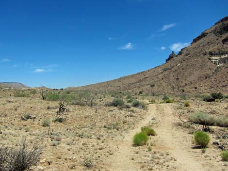
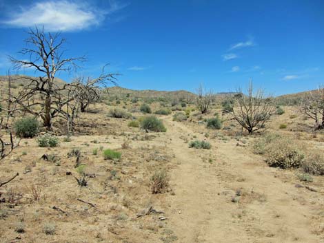
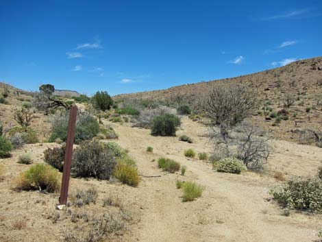
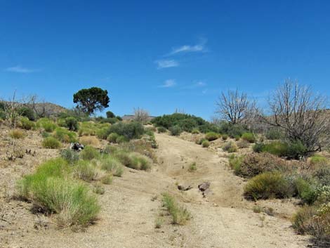
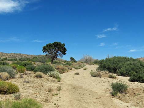
The trail runs up the broad wash staying to the left near to the base of the hillside. This area is sandy and was flash-flooded, so the old trail is gone, but watch for carsonite signs and trend to the left. Close under the Opalite Cliffs, which are light-colored cliffs capped with black lava, the trail joins an old road and continues northward. The trail follows the road past the Opalite Cliffs to a fork in the road (Wpt. 08). This area was flash-flooded too, so pay attention to the roads and watch for trail signs. At the fork, the trail turns northeast (not northwest) and follows a little-used road for about 190 yards to a signed trail junction (Wpt. 09). At this point, the Hole-in-the-Wall to Mid Hills and Barber Peak Loop trails split. The Barber Loop continues northeast on the dirt road (an open, legal 4WD road), while the other trail turns north and runs up a sandy wash. Shortly, the road merges with another road on the left, and both continue uphill to the northeast. The road climbs gradually as it passes an old mine shaft (closed) and a few California Juniper trees that did not burn in the fire, and finally reaches a trail sign (Wpt. 10) that marks where the trail departs the road. |
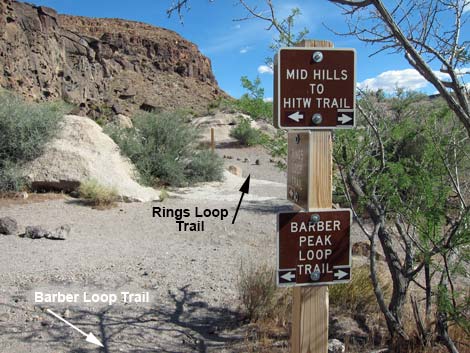 Signs at trail junction (view S) |
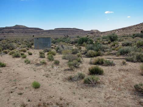
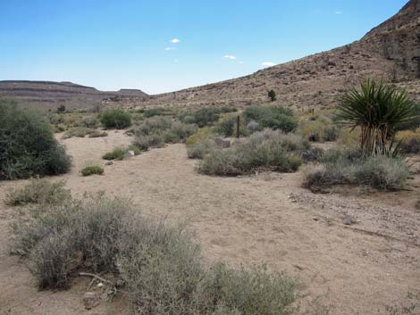
The Barber Loop continues east onto a broad saddle (Wpt. 11) that marks the highest point on the loop (about 4,700 ft). This area burned, so there are nice views back to the Opalite Cliffs and ahead to banded mountains that overlook the campground. Continuing east and then southeast, the trail gradual descends the hillside staying left of a braided wash system. Many sandy rills cross the trail, but the trail stays left and out of the sand; watch for carsonite signs. Eventually the trail makes an odd, 90-degree turn to the right (as if passing the corner of a fence that no longer exists) and turns towards a large water tank ahead in the wash. The trail crosses straight across the main wash gully (Wpt. 12) between the water tank on the left and an old wellhead upstream to the right. The trail continues southeast across braided washes, eventually crossing the broad wash onto the lowest slopes of Barber Peak. Trending southeast, the trail runs along the gentle hillside parallel to the broad wash. |
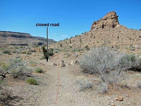 Trail crosses closed road and passes S of the crag (view SW) |
In this area, hikers have a choice for finishing the hike. Hikers can follow the trail, which is tiring and runs high onto the flanks of Barber Peak before descending to the campground or to the picnic area, or they can drop into the broad, sandy wash and follow the gentle grade of the wash back to the campground. For the easier alternative, when the trail angles away from the wash and climbs towards an outcrop of white rock, hikers can drop into the sandy wash and follow it downstream. A broken wire in the first barbed-wire fence facilitates passage. Passing the second fence puts hikers inside the cattle-free campground area. Exiting the wash to the right puts hikers in the campground. Staying on the official trail, the trail angles away from the sandy wash and climbs towards an outcrop of white rock capped by dark, volcanic rocks. The trail runs up onto the rocky ridge using stone stairs to climb alongside the rocky outcrop. Atop the white outcrop, a rock shelter (Wpt. 13) provides the only shade in this area. |
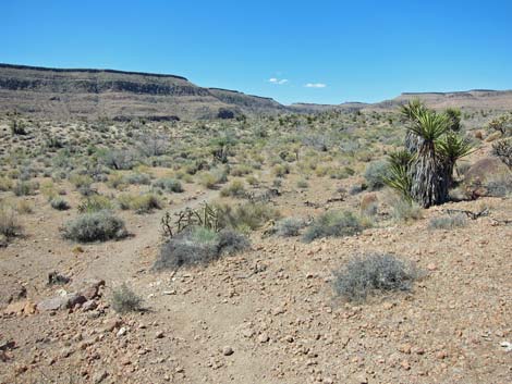 Trail drops into broad, sandy wash (view SW) |
Beyond the rock shelter, the trail climbs the hillside to a barbed-wire fence, then turns uphill and follows the fence 20 yards to a gate (Wpt. 14). Passing through the gate, the trail follows the other side of the fence uphill before angling left towards a highpoint (Wpt. 15) from which there are grand views north and south, up and down the valley. The trail drops off the knob into a saddle, then continues southeast on a rocky bench, becoming more rocky as it descends at a moderate grade off the bench. This rocky trail is a bit washed out and not so easy to follow as it wanders among the rocks, but watch for trail signs. The trail descends across a ravine and climbs out the other side towards a barbed-wire fence. The trail climbs a ridgeline between two gullies, then turns left and contours into a gate (Wpt. 16). Past the gate, the trail forks at a signed trail junction. To the east (downhill), a spur trail runs 0.18 miles to the north end of the campground. To the west, the Barber Loop continues up the hillside. |
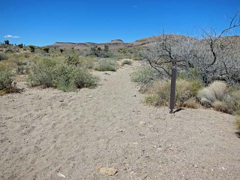 Trail follows wash with carsonite markers (view SW) |
From the gate (Wpt. 16), the main trail climbs the hillside adjacent to the fence, then angles left to climb somewhat steeply up the hillside to a point onto the lower slopes of Barber Peak with nice views overlooking the entire campground area. The trail continues southward, climbing gently onto a highpoint (Wpt. 17). Again, there are nice views overlooking the campground area plus grand views north, east, and south. From this point, the shimmering roof of the Hole in the Wall Visitor Center, near the end of the loop, is visible. |
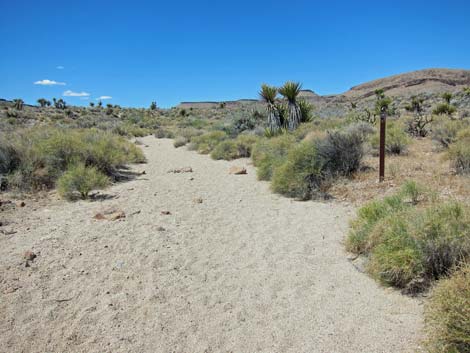 |
The trail descends from the highpoint at mostly moderate grades where the trail is a bit rocky, but easy to follow and well marked. Descending across the slopes, the trail exits the fire zone, and in the non-burned area, the vegetation is thick and diverse. Among other species, most of the cactus species in the area can be seen along this section of trail, and there are some unusually tall Mojave Yucca. For details of this section, see the Cactus Garden Loop Trail. About 200 yards before picnic area, trail drops out of the richly vegetated area into what looks like a very old burn. Few shrubs have come back, yet the bunchgrasses are doing well. Passing the picnic area, the trail hugs the cliffs until emerging onto the road at the Rings Trail trailhead, completing the loop. |
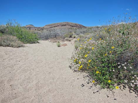 Flowers along the trail (view SW) |
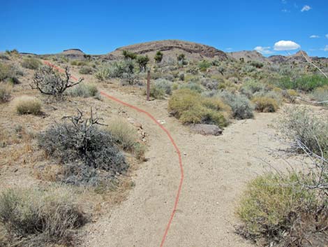 Trail exits the wash (view SW) |
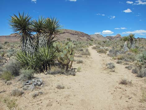 Trail climbs gently across bajada (view NW) |
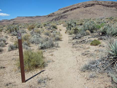 Trail marker (view W) |
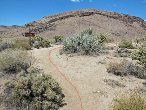 Approaching Wild Horse Spur Trail (view W) |
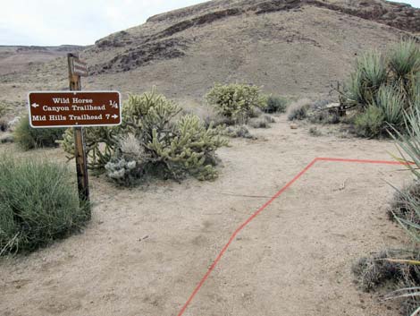 Trail junction (T-intersection; view W) |
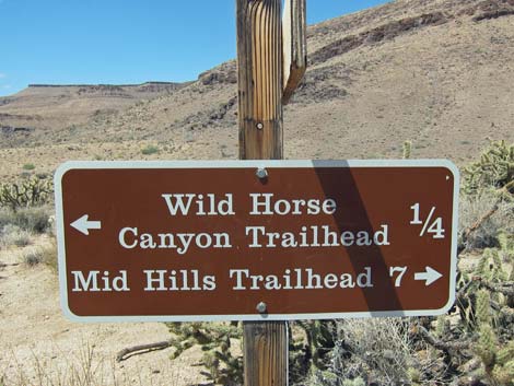 Trail sign (view W) |
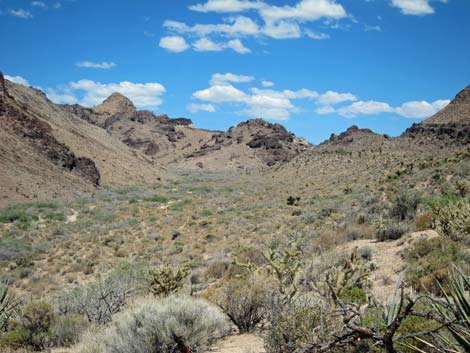 Just west of trail (view N up canyon) |
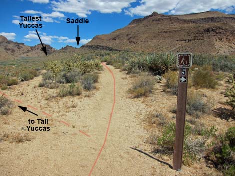 Starting north from the trail junction (view NW) |
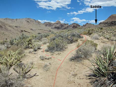 Last easy turnoff to Tallest Yucca (view NW) |
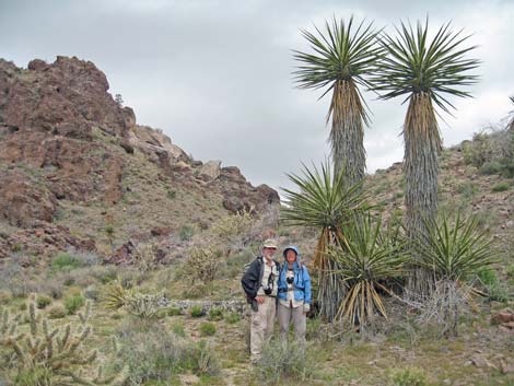 Hikers detoured to Tall Yuccas (view N) |
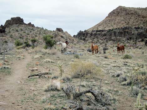 Trail hazards? ... |
 ... well, maybe not |
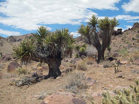 Unusually stout Mojave Yuccas |
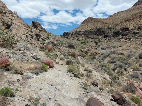 Trail starts up rocky canyon (view NW) |
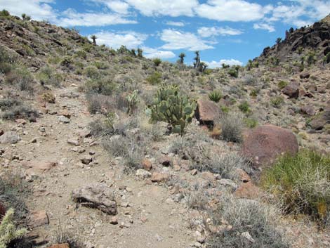 Rocky trail approaching saddle (view NW) |
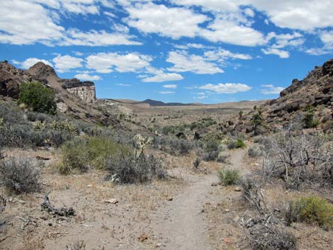 Saddle (view NW towards Opalite Cliffs) |
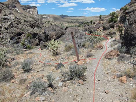 Trail splits around boulder pile (horses go left; view NW) |
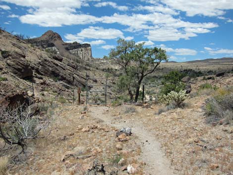 Gate beyond highpoint (view NW) |
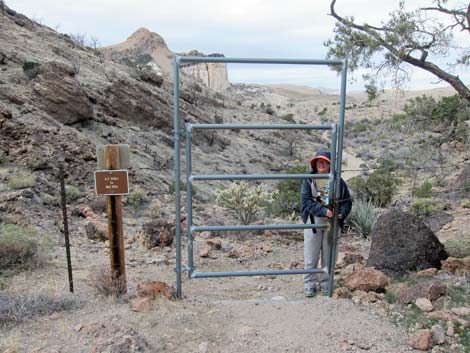 Hiker closing gate after passing through (view NW) |
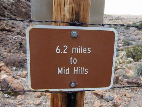 Sign at gate |
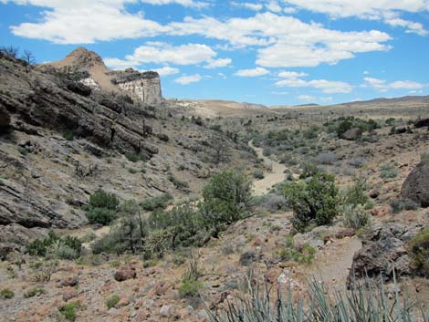 Trail descends into sandy wash (view NW) |
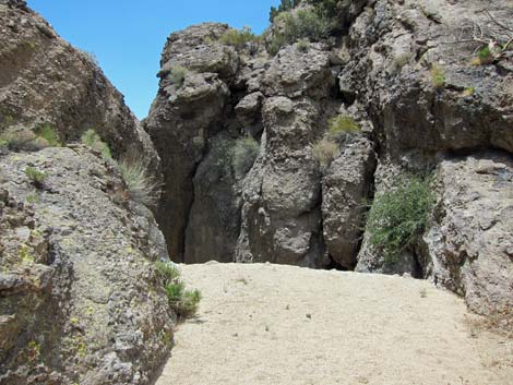 Check dam in bottom of the wash (view S) |
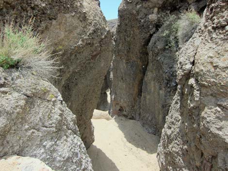 Looking over the check dam in bottom of the wash (view S) |
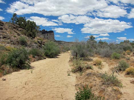 Trail runs up wash (note carsonite trail markers; view NW) |
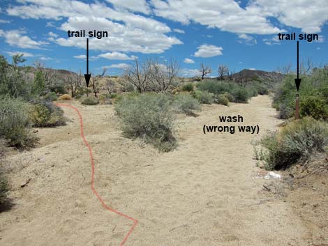 Trail turns out of wash onto old road (note trail markers; view NW) |
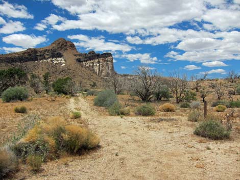 Trail turning out of wash onto old road (view NW) |
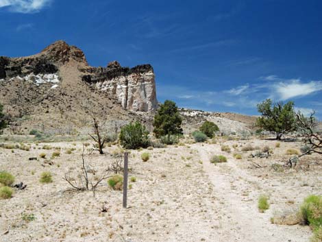 Old road runs towards Opalite Cliffs (view NW) |
 |
 |
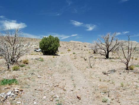 Dirt road runs past campsite under Opalite Cliffs (view NW) |
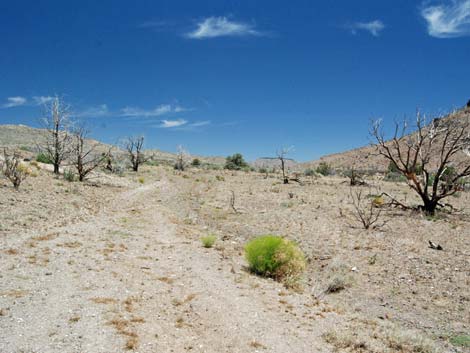 Trail follows dirt road (view N) |
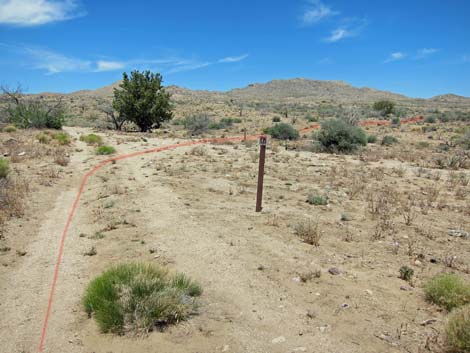 Past Opalite Cliffs, trail turns right onto faint road (view N) |
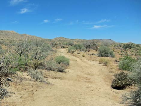
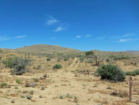 Dirt road crosses wash (view NE) |
 |
 |
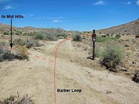 Hole-in-the-Wall to Mid Hills Trail departs Barber Loop (view NE) |
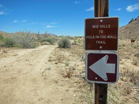 Hole-in-the-Wall to Mid Hills Trail sign (view NE) |
 |
 |
 |
 |
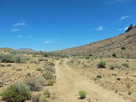 |
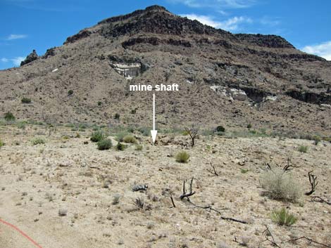 |
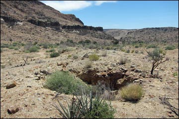 Closed mine shaft (view SW) |
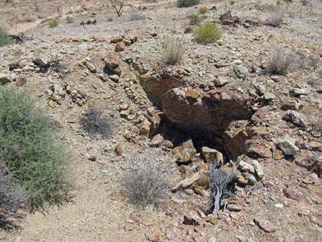 Closed mine shaft (view S) |
 |
 |
 |
 |
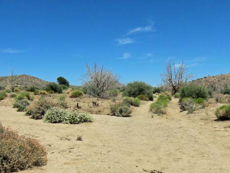 Old road flooded with sand (view NE) |
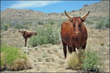 Yikes! Don't mess with momma cow. |
 |
 |
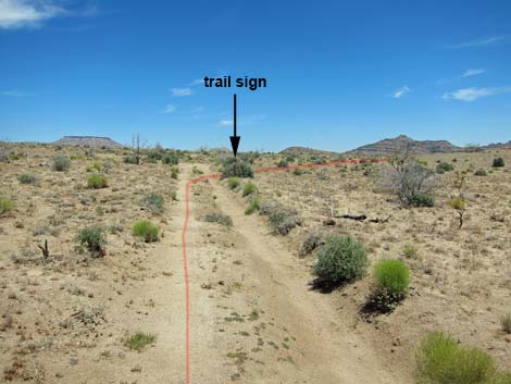 |
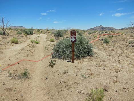 |
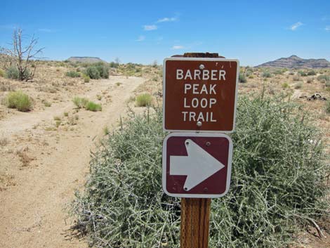 |
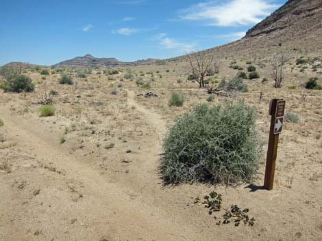 |
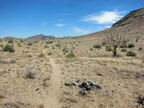 |
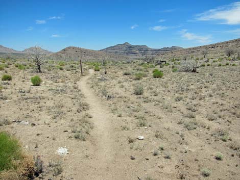 |
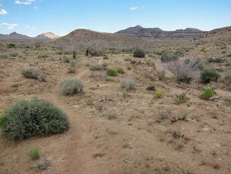 Trail descends gradually towards wash (view SE) |
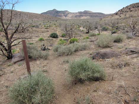 Trail descends gradually along wash (view SE) |
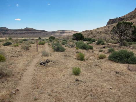 |
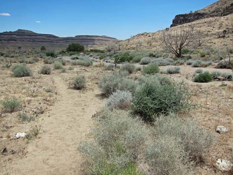 |
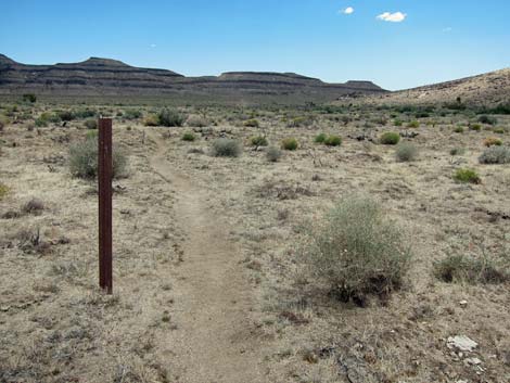 Trail marker |
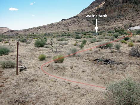 Trail takes an odd, 90-degree turn near water tank (view SE) |
 |
 |
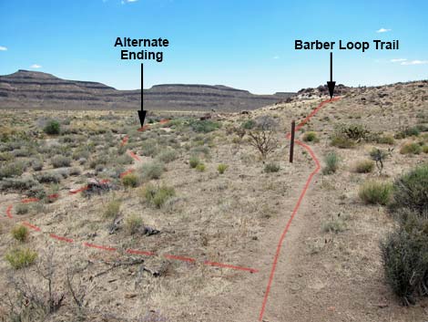 Trail departs edge of wash (exit left to alternate ending; view SE) |
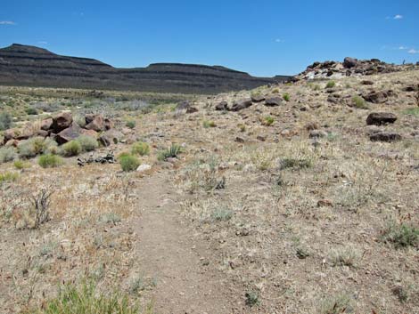 Trail climbs onto hillside |
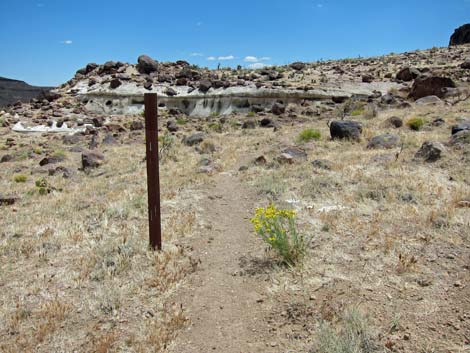 Trail runs onto rocky ridgeline (view SE) |
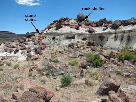 Trail follows stone stairs to rock shelter (view SE) |
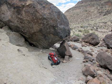 A bit of mid-afternoon shade in the desert (view SW) |
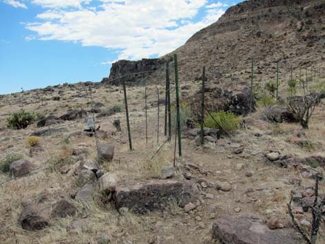 Gate in barbed-wire fence |
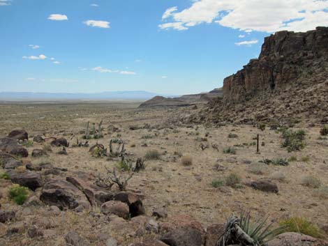 Trail climbs onto a knob with a view (view S) |
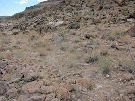 Rocky trail running among rocks (view S) |
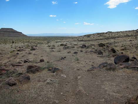 Dull colors as cloud passes by |
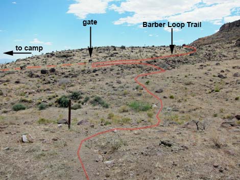 Trail climbs hillside towards gate (view S) |
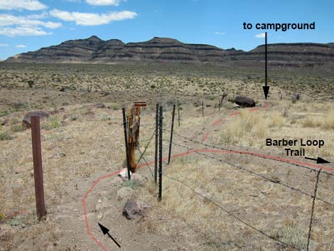 Gate and trail junction (view E) |
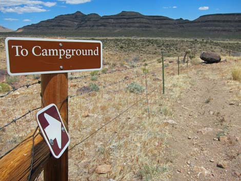 Spur trail to campground (view E) |
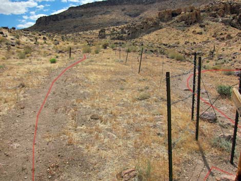 Barber Loop Trail runs uphill along S side of fence (view W) |
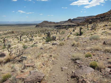 Highpoint above the campground (view S) |
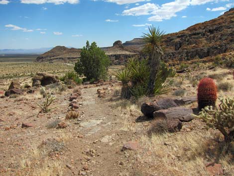 "Cactus Garden Trail" (view S) |
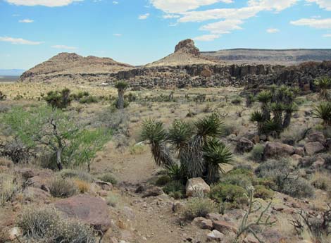 "Cactus Garden Trail" (view S) |
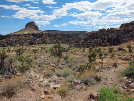 "Cactus Garden Trail" (view S) |
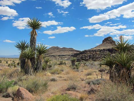 Unusually tall Yucca on "Cactus Garden Trail" (view S) |
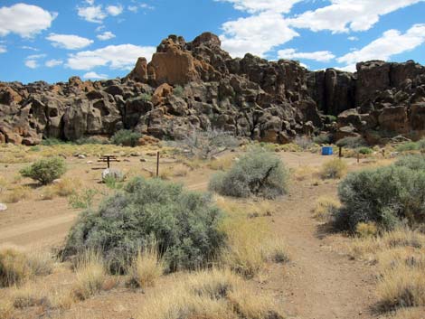 Passing picnic area towards Rings Trail trailhead (view S) |
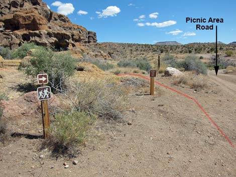 Rings Trailhead (view N, looking back at end of Barber Loop Trail) |
Table 1. Hiking Coordinates Based on GPS Data (NAD27; UTM Zone 11S). Download Hiking GPS Waypoints (*.gpx) file.
| Wpt. | Location | UTM Easting | UTM Northing | Elevation (ft) | Point-to-Point Distance (mi) | Cumulative Distance (mi) | Verified |
|---|---|---|---|---|---|---|---|
| 01 | Rings Trailhead | 646180 | 3878907 | 4,252 | 0.00 | 0.00 | GPS |
| 02 | Rings Loop Trail | 646020 | 3878755 | 4,169 | 0.19 | 0.19 | GPS |
| 03 | Trail Leaves Wash | 645525 | 3878425 | 4,194 | 0.42 | 0.61 | GPS |
| 04 | Wild Horse Trail Junction | 645032 | 3878461 | 4,270 | 0.33 | 0.94 | GPS |
| 04a | Wild Horse Canyon Trailhead | 645309 | 3878101 | 4,199 | . | . | GPS |
| 05 | Last Detour to Tallest Yucca | 644846 | 3878772 | 4,337 | 0.23 | 1.17 | GPS |
| 06 | Highpoint | 644393 | 3879376 | 4,533 | 0.55 | 1.72 | GPS |
| 07 | Gate | 644281 | 3879465 | 4,505 | 0.10 | 1.82 | GPS |
| 08 | Road Forks | 643705 | 3880003 | 4,544 | 0.57 | 2.39 | GPS |
| 09 | Trail Forks | 643790 | 3880168 | 4,571 | 0.12 | 2.51 | GPS |
| 10 | Trail Departs Road | 644514 | 3880744 | 4,683 | 0.61 | 3.12 | GPS |
| 11 | Highest Point | 644645 | 3880766 | 4,693 | 0.08 | 3.20 | GPS |
| 12 | Trail Crosses Wash | 645731 | 3880679 | 4,553 | 0.76 | 3.96 | GPS |
| 13 | Shade | 646150 | 3880379 | 4,533 | 0.36 | 4.32 | GPS |
| 14 | Gate | 646142 | 3880327 | 4,548 | 0.04 | 4.36 | GPS |
| 15 | Highpoint | 646143 | 3880223 | 4,578 | 0.09 | 4.45 | GPS |
| 16 | Gate at Trail Junction | 646315 | 3879772 | 4,423 | 0.39 | 4.84 | GPS |
| 16a | Trailhead | 646536 | 3879679 | 4,391 | . | . | GPS |
| 17 | Highpoint | 646194 | 3879596 | 4,489 | 0.15 | 4.99 | GPS |
| 01 | Rings Trailhead | 646180 | 3878907 | 4,252 | 0.50 | 5.49 | GPS |
Happy Hiking! All distances, elevations, and other facts are approximate.
![]() ; Last updated 240328
; Last updated 240328
| Hiking Around Mojave Preserve | Hiking Around Las Vegas | Glossary | Copyright, Conditions, Disclaimer | Home |