
Hiking Around Las Vegas, Mojave National Preserve

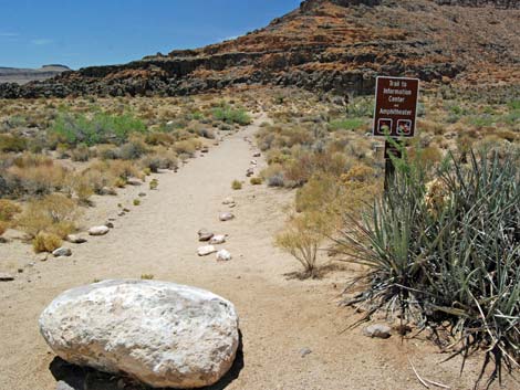
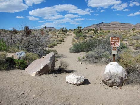 HITW Nature Trail trailhead (view N) |
Overview The Hole-in-the-Wall Nature Trail (aka HITW Nature Trail or Hole in the Wall Nature Trail), is a short, easy walk between the Visitor Center and Hole-in-the-Wall Campground that features native plants growing in the Mojave Desert. Signs provide the names of common shrub species, and there is a paper trail guide (pick up at one end and drop off at the other end). Link to map. |
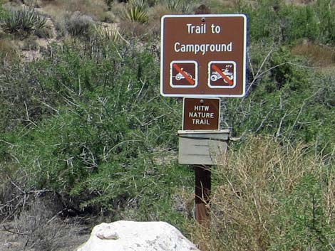 Trailhead sign (pick up a trail guide; view N) |
Watch Out Other than the standard warnings about hiking in the desert, ... this trail is about as safe and easy as they get. With some help, visitors in wheelchairs probably could use this trail, especially if going south from the campground to the visitor center. While hiking, please respect the land and the other people out there, and try to Leave No Trace of your passage. Also, even though this hike is short, be sure to bring what you need of the 10 Essentials. |
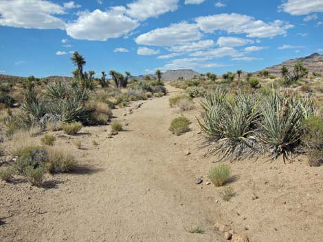 HITW Nature Trail (view N) |
Getting to the Trailhead This hike is located in Mojave National Preserve, about 2 hours south of Las Vegas. From town, drive out to the Hole-in-the-Wall Visitor Center, which is about 85 miles south of town. Park in the Visitor Center parking area, which is the Hole-in-the-Wall Visitor Center Trailhead. Park here; this is the trailhead. |
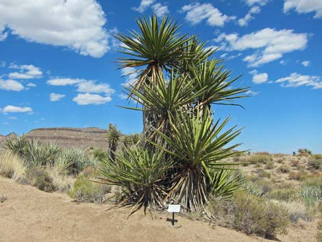 Mojave Yucca |
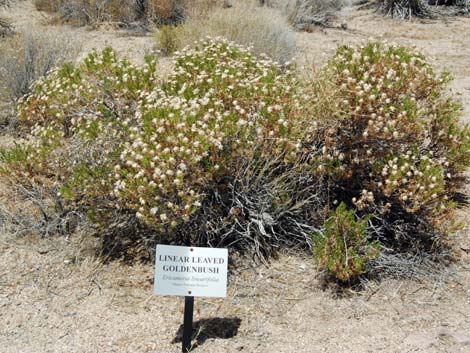
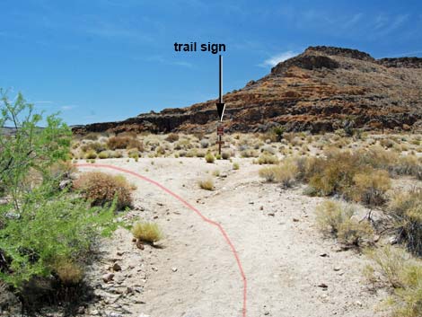
The Hike From the Hole-in-the-Wall Visitor Center parking lot (Table 1; Waypoint 01), the trail begins across the access road to the north. The trailhead is signed, and be sure to pick up a trail guide. The trail runs north for about 0.20 miles to a trail sign (Wpt. 02), which indicates a 90-degree turn to the right. In another 0.04 miles, the trail ends at the Hole-in-the-Wall Campground Road (Wpt. 03), not far from the kiosk. Along the trail, the common shrub species are named, and in contrast to the usual situation, the common and scientific names are correct. In only one case was the identified plant dead and gone. |
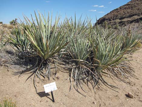 Banana Yucca [aka Blue Yucca] |
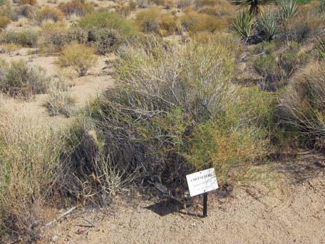 Cheesebush [aka Burrobrush] |
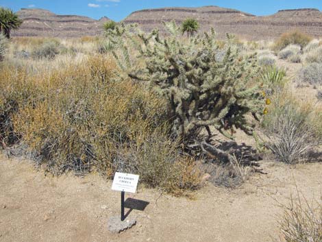 Buckhorn Cholla |
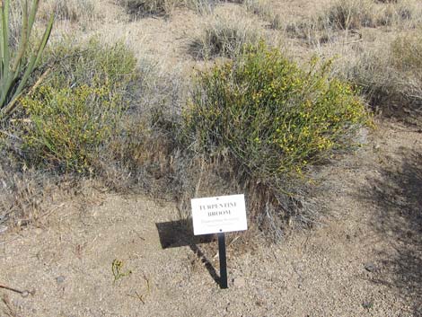 Turpentinebroom |
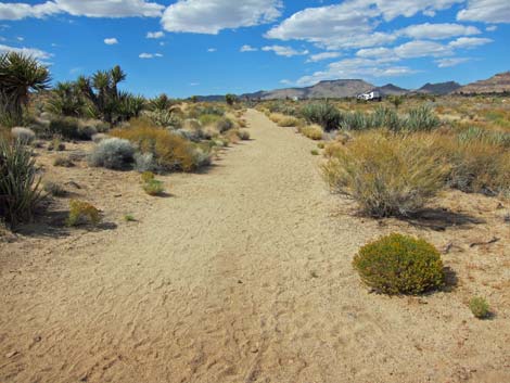 Nature trail (view N to campground) |
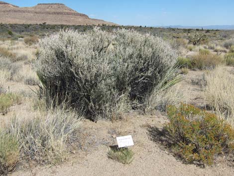 Mojave Cottonthorn [aka Horsebrush] |
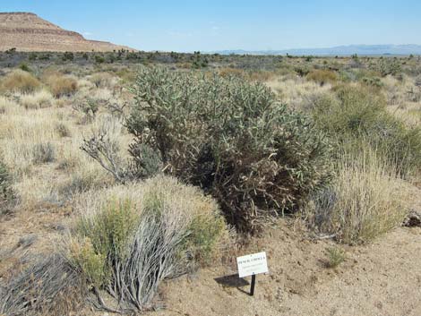 Pencil Cholla |
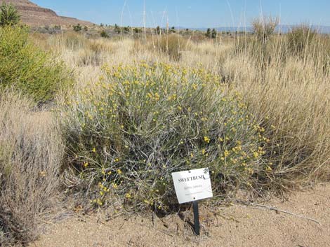 Sweetbush |
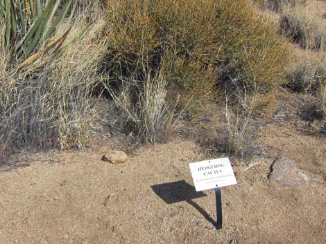 Hedgehog Cactus; oops, it's missing! |
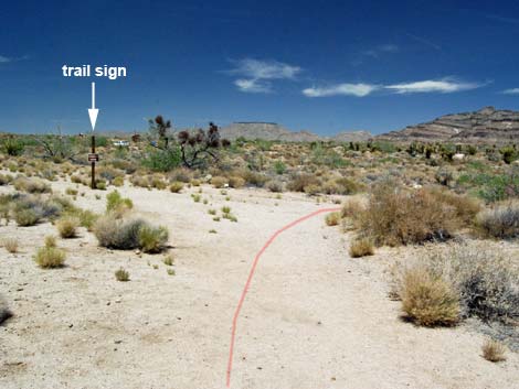 Nature trail turns right (view N to campground) |
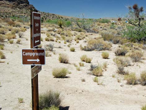 Directional trail sign at turn (view N) |
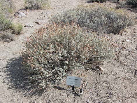 Purple Sage [aka Blue Sage] |
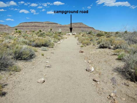 Nature Trail runs towards campground road (view E) |
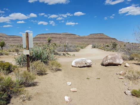 Nature Trail arrives at campground road (view E) |
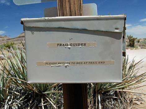 Sign on box: Trail Guides; Please return to box at trail end |
 More to come ... |
Southbound: Campground to Visitor Center
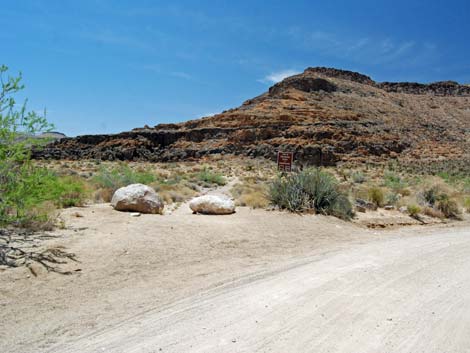 Trail departs campground road (view W) |
 Trailhead and sign with brochure box (view W) |
 |
 |
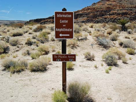 Directional trail sign at turn (view W) |
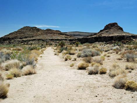 Trail turns left and heads towards Banshee Peak (view S) |
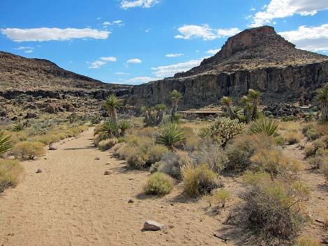 Visitor Center comes into view (view S) |
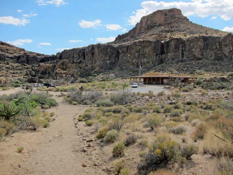 Nature Trail arriving at Visitor Center (view S) |
Table 1. Hiking Coordinates Based on GPS Data (NAD27; UTM Zone 11S). Download Hiking GPS Waypoints (*.gpx) file.
| Wpt. | Location | UTM Easting | UTM Northing | Elevation (ft) | Point-to-Point Distance (mi) | Cumulative Distance (mi) | Verified |
|---|---|---|---|---|---|---|---|
| 01 | Trailhead, South | 646429 | 3878754 | 4,268 | 0.00 | 0.00 | GPS |
| 02 | Turn | 646513 | 3879056 | 4,302 | 0.20 | 0.20 | GPS |
| 03 | Trailhead, North | 646587 | 3879056 | 4,297 | 0.04 | 0.24 | GPS |
Happy Hiking! All distances, elevations, and other facts are approximate.
![]() ; Last updated 240328
; Last updated 240328
| Hiking Around Mojave Preserve | Hiking Around Las Vegas | Glossary | Copyright, Conditions, Disclaimer | Home |