
Hiking Around Las Vegas, Mojave National Preserve

 |
Overview Nipton Road is a paved road that connects Interstate 15 in California and Highway 95 at Searchlight, Nevada, passing through the historic town of Nipton along the way. This road provides access to the Mojave National Preserve and Nipton in California, and the South McCullough Wilderness Area, Wee Thump Joshua Tree Wilderness Area, and the town of Searchlight in Nevada. Link to map. |
 |
Watch Out Other than the standard warnings about the desert, ... the road is safe and easy in a sedan. While out in the desert, please respect the land and the other people out there, and try to Leave No Trace of your passage. Also, the area is remote, so be sure to bring the 10 Essentials. Getting to the Road This road is located in California, about 45 minutes south of Las Vegas. From town, drive south on I-15. From Primm, Nevada, drive south 9.5 miles. Exit the interstate onto Nipton Road (Exit 286), which only runs east from this point. |
 |
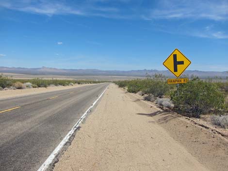
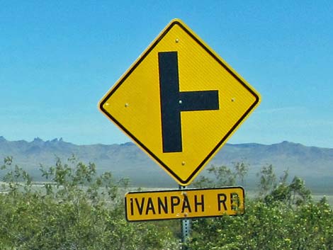
The Road From Interstate 15 (Table 1, Site 1008), Nipton Road runs east 3.6 miles to a T-intersection with Ivanpah Road (Site 1264), then continues east, crosses ungated railroad tracks (look both ways!), passes through Nipton, and crosses into Nevada. Continuing east over the mountains, the road descends past the South McCullough Wilderness Area and the Wee Thump Joshua Tree Wilderness Area (three access points on the left), passes Walking Box Ranch Road (on the right), and ends in Searchlight, Nevada. Technically the road continues across Highway 95 and runs down to Cottonwood Cove in Lake Mead National Recreation Area, but here the road is called Cottonwood Cove Road. |
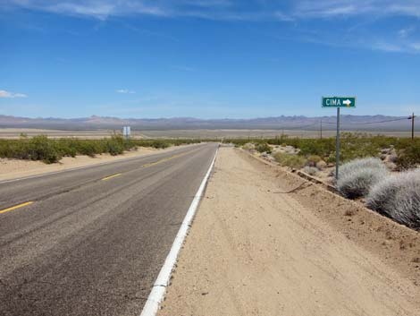
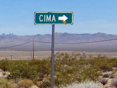 Cima (and Mojave National Preserve): to the right (view E) |
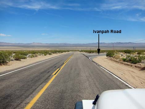 Approaching Ivanpah Road (view E) |
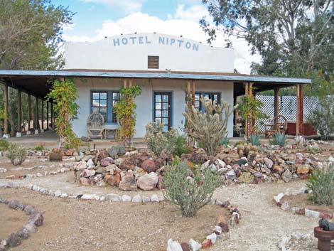 Hotel Nipton (view E) |
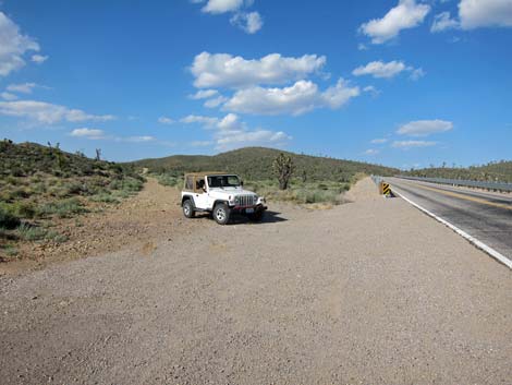 Road access to South McCullough Wilderness Area |
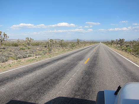 Wee Thump Joshua Tree Wilderness Area on the left (view E) |
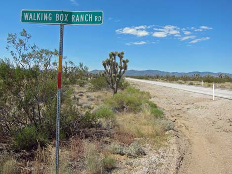 Walking Box Ranch road sign (view W) |
Table 1. Highway Coordinates Based on GPS Data (NAD27; UTM Zone 11S). Download Highway GPS Waypoints (*.gpx) file.
| Site | Location | UTM Easting | UTM Northing | Latitude (N) | Longitude (W) | Elevation (ft) | Verified |
|---|---|---|---|---|---|---|---|
| 1008 | I-15 at Nipton Rd | 640822 | 3926437 | 35.47327 | 115.44788 | 3,432 | Yes |
| 1264 | Nipton Rd at Ivanpah Rd | 646208 | 3924862 | 35.45829 | 115.38882 | 2,747 | Yes |
Happy Hiking! All distances, elevations, and other facts are approximate.
![]() ; Last updated 240329
; Last updated 240329
| Backroads | Hiking Around Mojave Preserve | Hiking Around Las Vegas | Glossary | Copyright, Conditions, Disclaimer | Home |