
Hiking Around Las Vegas, Spring Mountains (Mt. Charleston)

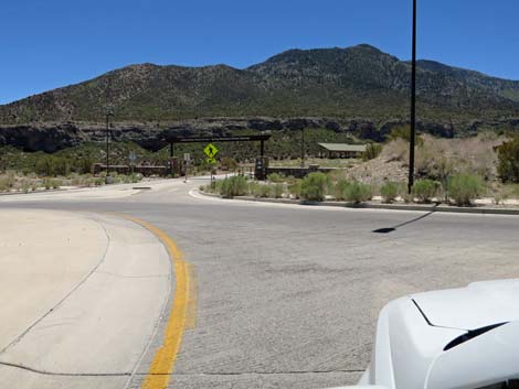 Kyle Canyon Road round-about, third exit to Visitor Center (view S) |
Overview The Spring Mountains Visitor Center, or the Spring Mountains Visitor Gateway as they prefer to call it, is a typical visitor center on par with those found in many National Parks. Visitors can stop in and pick up maps, ask questions, peruse the educational displays to learn about the area, pick up souvenir trinkets, and perhaps attend an interpretative program. Outside, there are several exhibits on the back porch (ecology, native peoples, cold war memorial), an amphitheater, and trailheads to short and longer walking trails and a picnic area. There is also a classroom that groups can use. Link to map. |
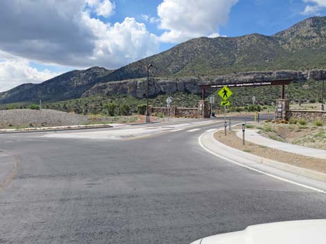 Exiting round-about towards Visitor Center (view S) |
Getting to the Spring Mountains Visitor Center The Visitor Center is located in Kyle Canyon up in the Spring Mountains National Recreation Area, about 35 minutes northwest of Las Vegas. From downtown, drive north on Highway 95 towards Reno for 17.0 miles. Just beyond the edge of urban Las Vegas, exit the highway onto Kyle Canyon Road (Highway 157; Exit 96); watch for signs to Mount Charleston. Be forewarned: this is one of those weird, new-fangled highway intersections, so be careful and try to stay in the middle lane. Kyle Canyon Road curves left under the highway and heads west, up the hill. At about 16.3 miles out, drivers encounter a "round about." Drive 3/4 of the way around the loop (third exit) and exit to the right under the Spring Mountains Visitor Center ranch gate, which leads straight into the large visitor center parking lot. Continue towards the tall building ahead in the distance and find a convenient place to park. |
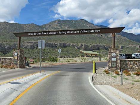 Approaching the Visitor Center ranch gate (view S) |
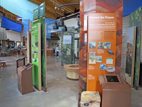
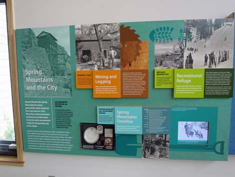
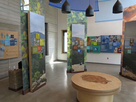
The Visitor Center Inside the visitor center, displays provide information on several aspects of mountain history and ecology. Read about the native people who called this home and the loggers, miners, and settlers that came after them. Other displays provide information on how plants and animals survive in this arid and cold environment. Some species occur only on this "sky island." What does that mean and who are they? Stop in and find out! Also inside the visitor center is a gift shop with the usual trinkets, but also books and other materials with information about the Spring Mountains. They also provide a small supply of hiking and camping items. |
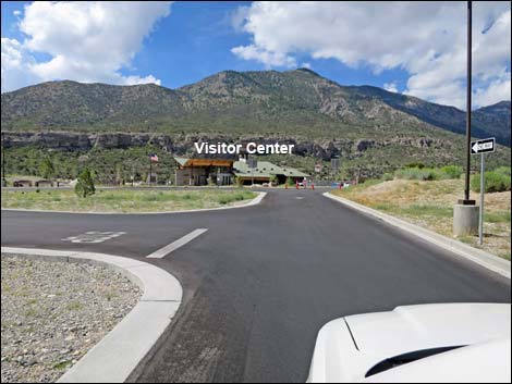 Entering the Visitor Center parking lots (view SW) |
Outside the visitor center, there are displays about mountain ecology, a memorial to people who died in an airplane crash near the summit of Mount Charleston on their way to Area 51 work on a secret project during the cold war, and an area where native peoples who lived on this land are remembered (they are still here). Staff provide educational discussions in the outdoor amphitheater. In addition, short and somewhat longer trails begin from the back porch, and there is a nice picnic area. The trails here have funny names, such as Kunav Huveep, Pack Rat, and Acastus. They make sense, however, in the local area. Kunav Huveep is the local Paiute name for Kyle Canyon. The Pack Rat Trail leads to an enormous and ancient Pack Rat toilet that is still in use (don't worry, even this makes sense). The name "Acastus" is for a rare orange butterfly species that lives in this area: Spring Mountains Acastus Checkerspot Butterfly (Chlosyne acastus robusta). |
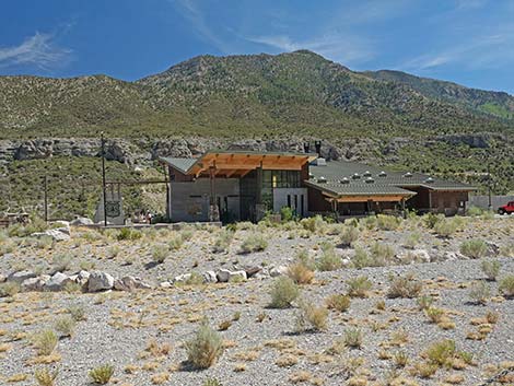 Visitor Center (view on approach; view SW) |
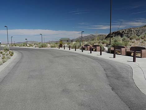 Passenger drop-off (view E) |
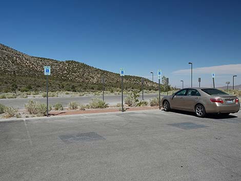 Reserved accessible parking (view NE) |
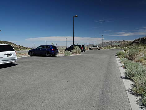 General and reserved parking (view SE) |
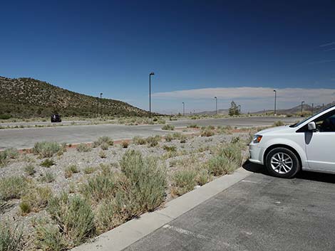 Lots of parking (view E) |
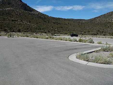 Lots of parking (view NE) |
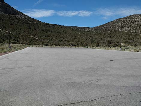 Bus and large-vehicle parking (view N) |
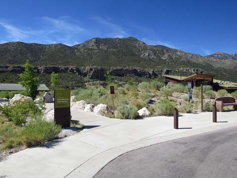 Spring Mountains Visitor Center walkway entrance (view SW) |
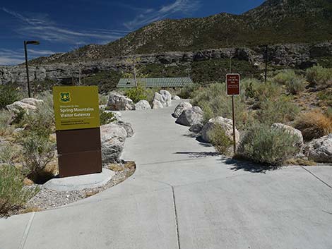 Spring Mountains Visitor Center walkway entrance (view S) |
 Entrance sign (view S) |
 Entrance sign (view S) |
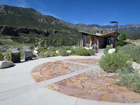 Walkway to the Visitor Center (view W) |
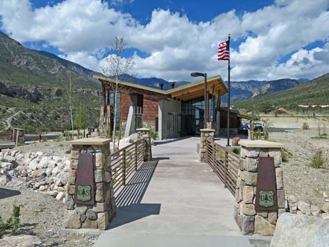 Bridge to the Visitor Center (view W) |
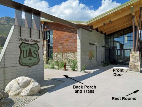 Approaching the Visitor Center front doors (view SW) |
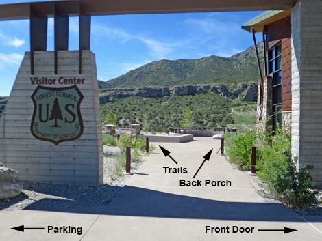 Walkway to the trails and back porch (view S) |
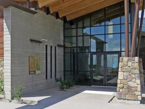 Front entrance to the visitor center (view SW) |
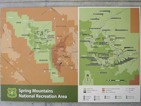 Outdoor map (view S) |
 More to come ... |
Visitor Center Interior
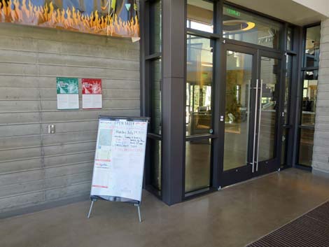 Entrance vestibule |
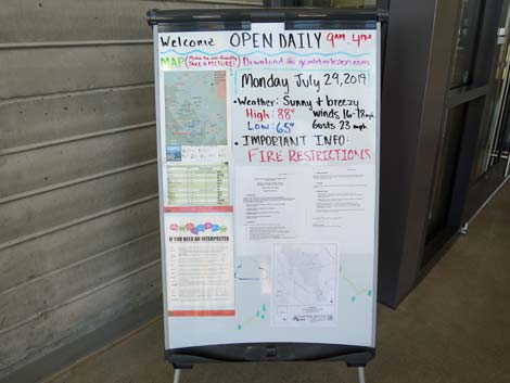 Important and updated information |
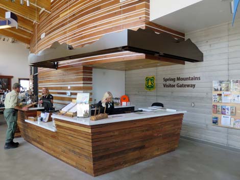 Front Desk |
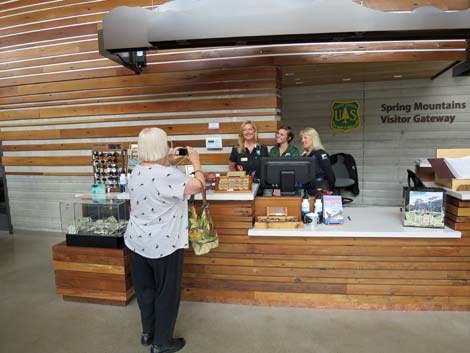 Long suffering, but cheerful staff |
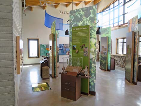 Exhibit Hall |
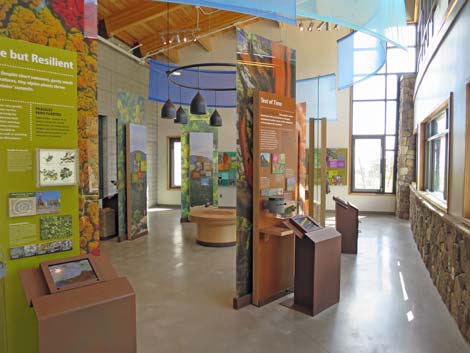 Exhibit Hall |
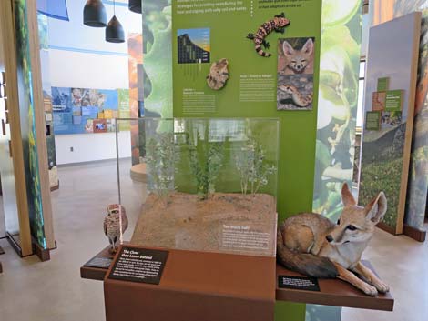 |
 |
 |
 |
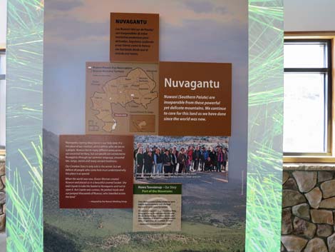 Information about local people |
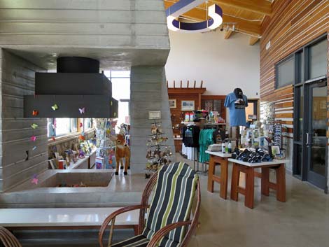 Gift shop |
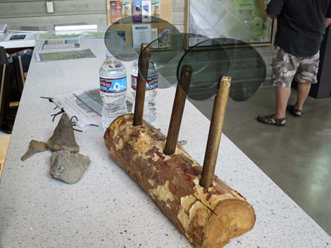 Polarized glasses on loan |
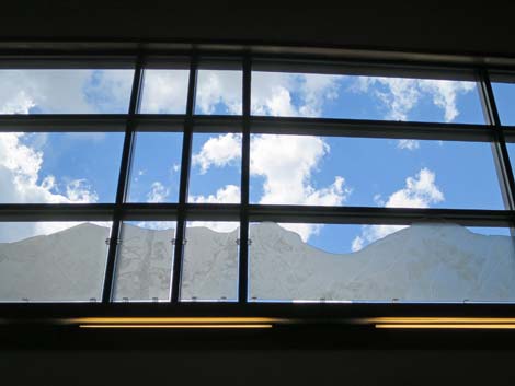 Upper window -- not much to see ... |
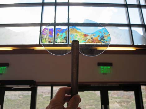 ... but hold up the polarized glasses ... |
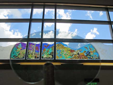 ... and the miracle of light comes into play revealing a beautiful scene |
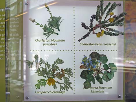 Rare plants found only in the Spring Mountains |
 More to come ... |
Visitor Center Exterior
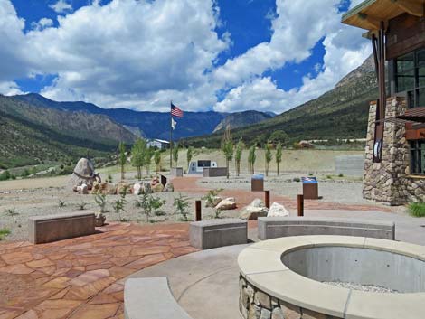 Back porch with seating and winter fireplace (view W) |
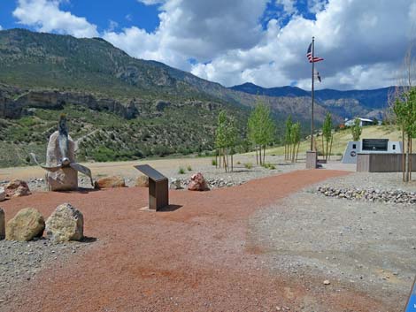 Cold War exhibit and memorial (view SW) |
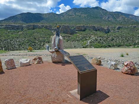 Cold War exhibit and memorial (view S) |
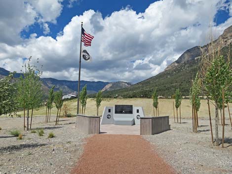 Cold War exhibit and memorial (view W) |
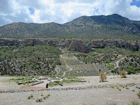 Nuwuvi Seven Stones and trails on the hillside across the valley |
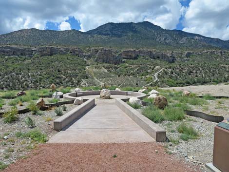 Native people's display (Nuwuvi Seven Stones) |
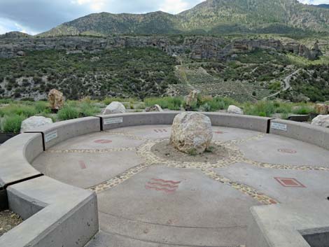 Native people's display (Nuwuvi Seven Stones) |
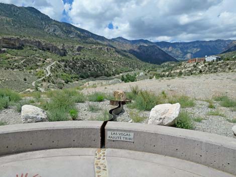 Native people's display (Nuwuvi Seven Stones) |
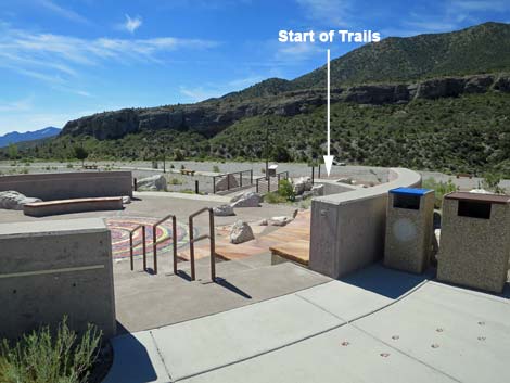 Overlooking the outdoor amphitheater (view SE) |
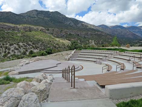 Outdoor amphitheater (view SW) |
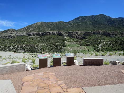 Back porch ecology information signs (view S) |
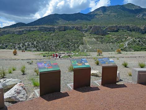 Back porch ecology information signs (view S) |
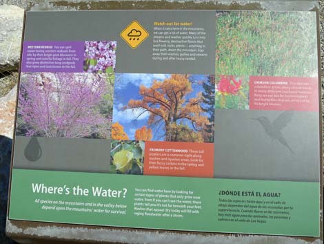 Sign: Where's the Water? |
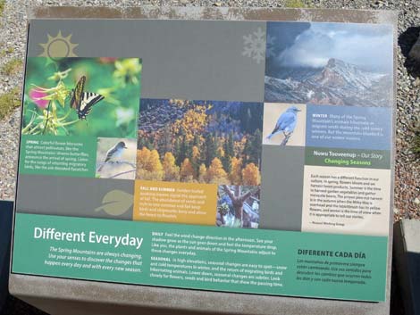 Sign: Different Everyday |
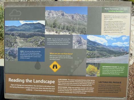 Sign: Reading the Landscape |
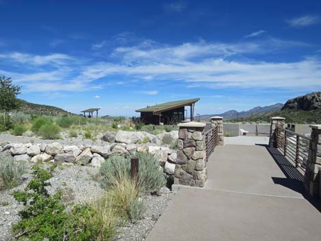 Classroom and picnic area in the distance (view E) |
To the Trails
 Walkway to the trails and back porch (view S) |
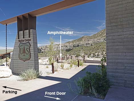 Walkway to the trails goes through the amphitheater (view SE) |
 Down through the amphitheater and out to the right (view SE) Down through the amphitheater and out to the right (view SE) |
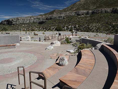 Entering the amphitheater (view SE) |
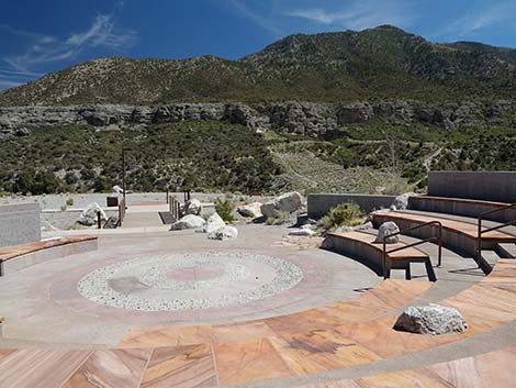 Inside the amphitheater (view S) |
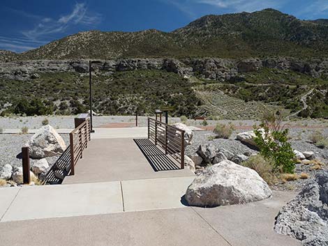 Exiting the amphitheater (view S) |
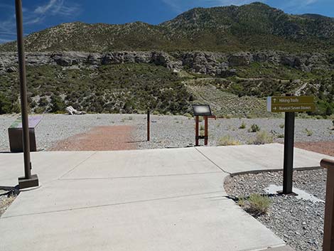 Approaching the trails (view S) |
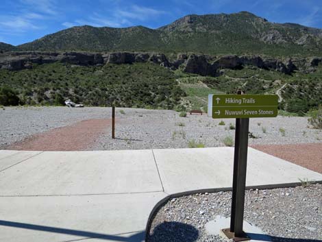 Sign: Hiking trails straight ahead (view S) |
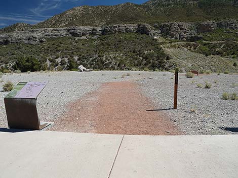 Start of trail and sign on the left (view S) |
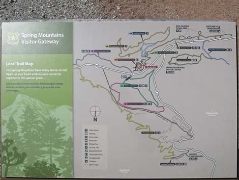 Sign: map of area trails, not just those behind the visitor center) |
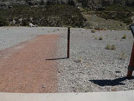 Trail marker at start of trail (view S) |
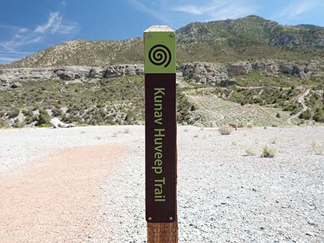 Trail marker with name of trail (view S) |
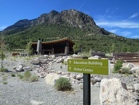 Returning off trails to the Visitor Center (view NW) |
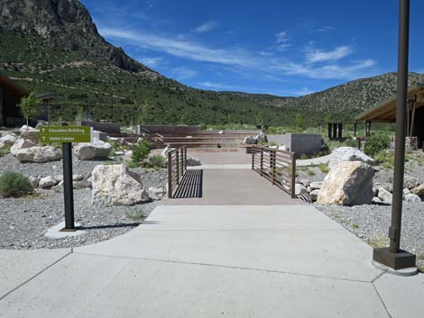 Trail runs back through the amphitheater (view N) |
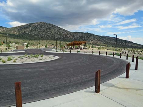 Return to parking (view NE) |
 More to come ... |
Table 1. Hiking Coordinates Based on GPS Data (NAD27; UTM Zone 11S). Download Hiking GPS Waypoints (*.gpx) file.
| Site | Location | UTM Easting | UTM Northing | Latitude (N) | Longitude (W) | Elevation (ft) |
|---|---|---|---|---|---|---|
| 1609 | Spring Mountains Visitor Center | 626923 | 4014720 | 36.27089 | 115.58697 | 6,647 |
| 1610 | Kyle Canyon Road at Visitor Center Road | 627158 | 4014886 | 36.27236 | 115.58433 | 6,601 |
Happy Hiking! All distances, elevations, and other facts are approximate.
![]() ; Last updated 240329
; Last updated 240329
| Hiking Around Mt Charleston | Hiking Around Las Vegas | Glossary | Copyright, Conditions, Disclaimer | Home |