Hiking Around Las Vegas, Mount Charleston Area, Lovell Canyon
 |
The Lovell Canyon Trailhead is located in Lovell Canyon, about 1-1/4 hours west of Las Vegas. This trailhead is up in the Spring Mountains National Recreation Area (also known as Mt. Charleston), but this trailhead is on the south side of Mt. Charleston and is accessed from Highway 160 (the road to Pahrump). This trailhead is located off Highway 160, west of the town of Mountain Springs. From downtown, drive south on Interstate-15 to Highway 160. Exit onto Highway 160 west, towards Pahrump, and drive west out of town and over the mountains. About 3 miles past (west of) Mountain Spring Summit, watch for highway signs and a right turn onto Lovell Canyon Road. Link to Trailhead Map. |
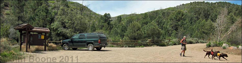
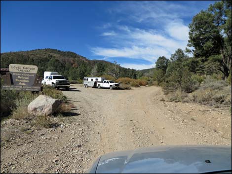
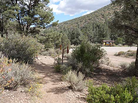
 Trailhead parking at start of the trail (view N) |
On Lovell Canyon Road, drive north on the paved road for 11.0 miles to Lovell Summit Road, which is only a few yards short of the Torino Ranch Gate. Torino Ranch is a place where critically ill and at-risk children get the chance to experience nature and have fun. Continuing to the trailhead, turn left onto Lovell Summit Road and drive west on the maintained dirt road for 0.4 miles to a wide parking area on the left. Pole fencing defines the parking area, and a kiosk provides local information. The Lovell Canyon Trailhead provides access to the Lovell Canyon Trail, Schaefer Spring Trail, Griffith Shadow North Trail, Griffith Shadow South Trail, and miles of off-trail hiking in the middle-elevation mountains south of Harris Mountain, Harris Saddle, and Griffith Peak. |
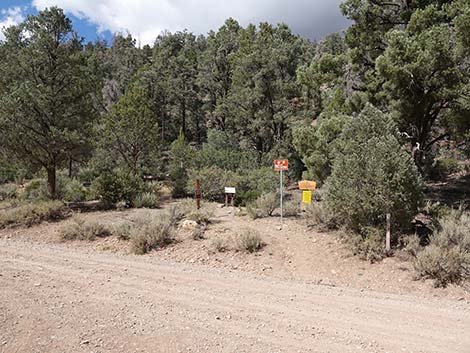
 Lovell Summit Road approaching trailhead (view W) |
 Lovell Summit Road, approaching trailhead parking (view W) |
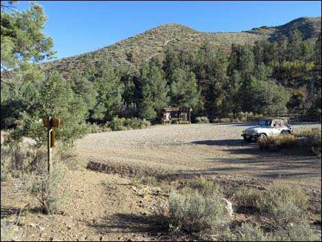
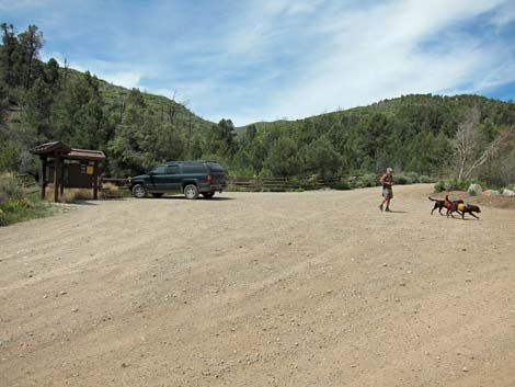 Trailhead Parking (view SW) |
 Trailhead Parking (view E) |
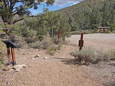
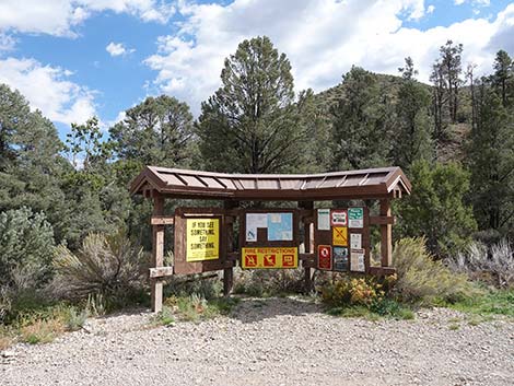 Trailhead information kiosk (view S) |
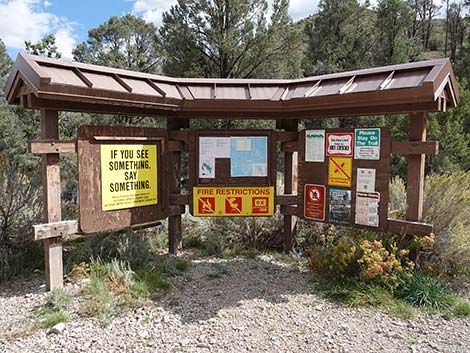 Trailhead information kiosk with three panels (view S) |
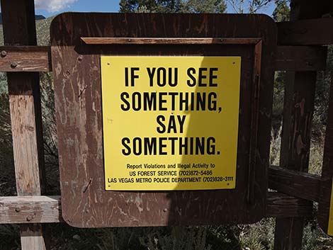 Report Illegal Activity: USFWS (702) 872-5486 or Metro 911 |
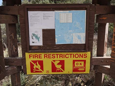 Map of the area |
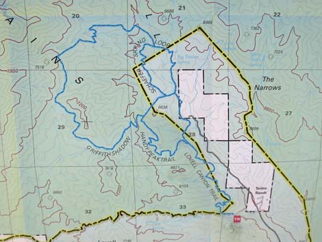 Details of the map showing hiking routes |
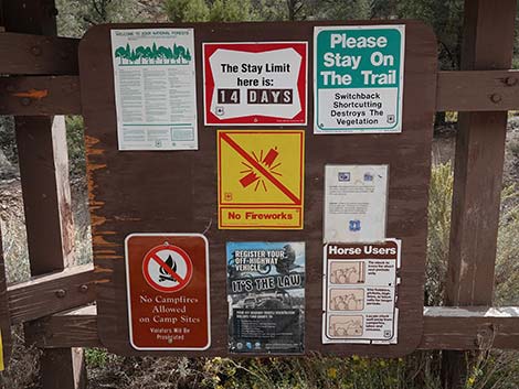 Trailhead information kiosk (view S) |
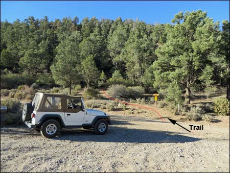
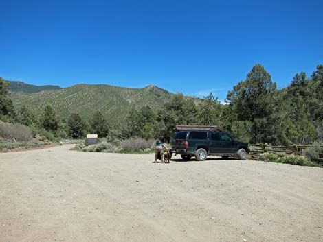
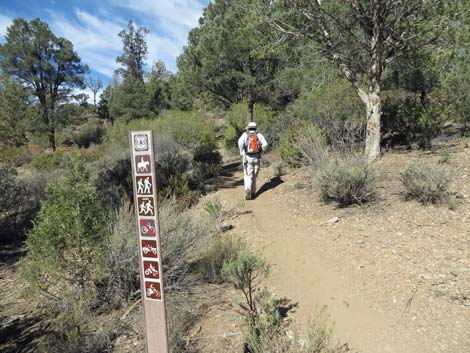
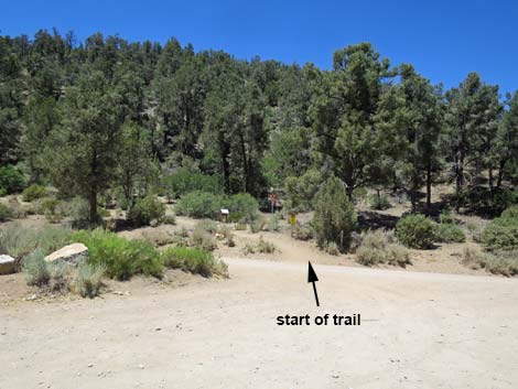 Start of trail (view N from trailhead parking) |
 Start of trail (view N from Lovell Canyon Road) |
 Start of trail (view N from Lovell Canyon Road) |
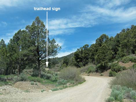
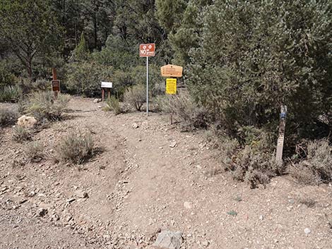
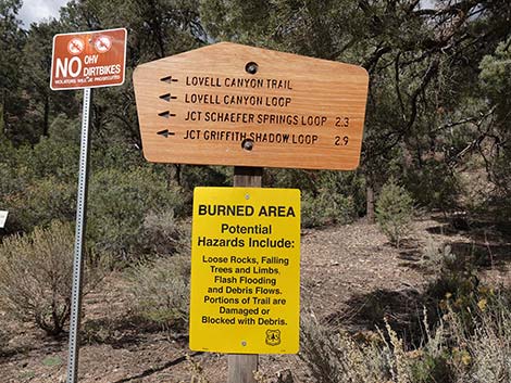
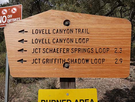
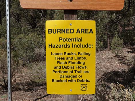
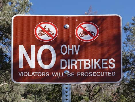
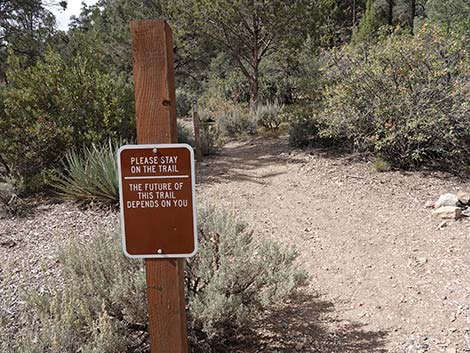
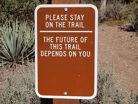
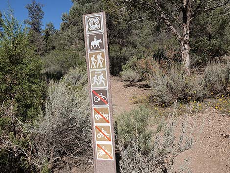
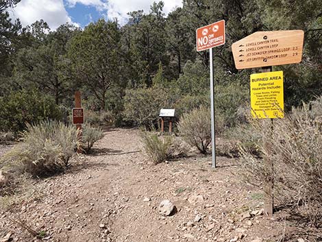 Several signs at the trailhead (view N) |
 |
 |
 |
 |
 |
 |
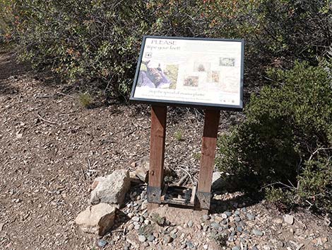 Boot brushing station |
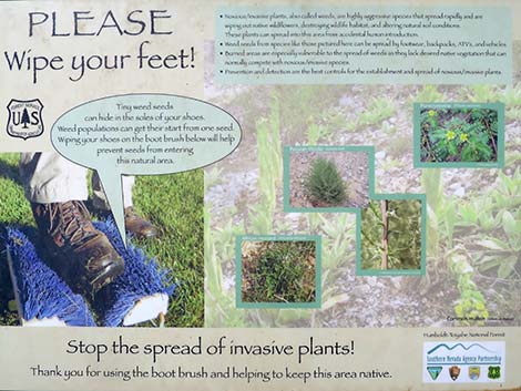 Information about brushing weed seeds off your boots |
 |
 |
Returning to the Trailhead
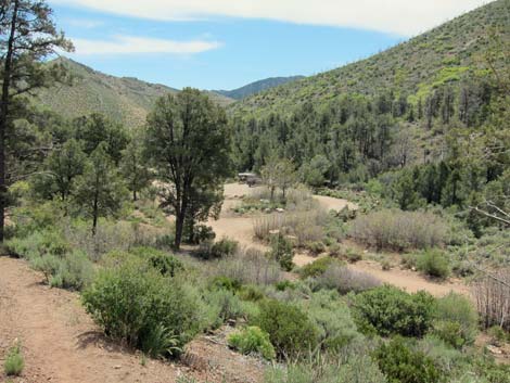 Trailhead (view SE from along the trail) |
 Approaching the trailhead signs (view SE) |
 Passing the trailhead signs (view SE) |
 Entering the trailhead area (view SE) |
Table 1. Highway Coordinates (NAD27; UTM Zone 11S). Download Highway GPS Waypoints (*.gpx) file.
| Site # | Location | UTM Easting | UTM Northing | Latitude (N) | Longitude (W) | Elevation (ft) | Verified |
|---|---|---|---|---|---|---|---|
| 1013 | Hwy 160 at Lovell Canyon Rd | 629717 | 3986740 | 36.01833 | 115.56049 | 4,643 | Yes |
| 1078 | Lovell Cyn Rd at Lovell Summit Rd | 628064 | 4003086 | 36.16588 | 115.57617 | 5,929 | Yes |
| 1160 | Lovell Canyon Trailhead | 627511 | 4003145 | 36.16649 | 115.58231 | 5,929 | Yes |
Happy Hiking! All distances, elevations, and other facts are approximate.
![]() ; Last updated 240329
; Last updated 240329
| Hiking Around Mt Charleston | Hiking Around Las Vegas | Glossary | Copyright, Conditions, Disclaimer | Home |