
Hiking Around Las Vegas, Red Rock Canyon National Conservation Area

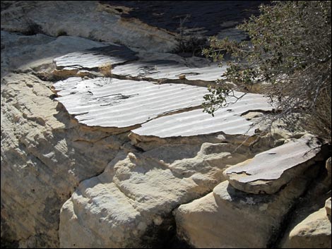 |
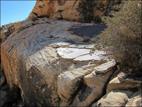
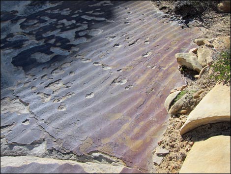
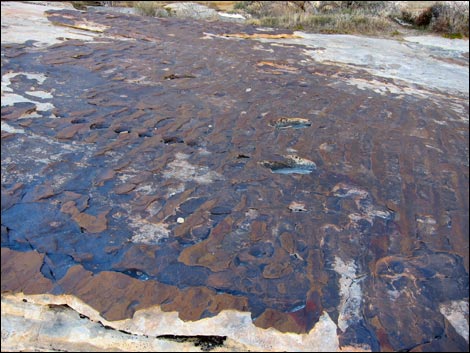
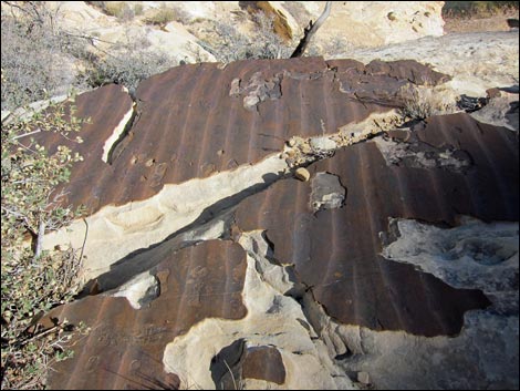
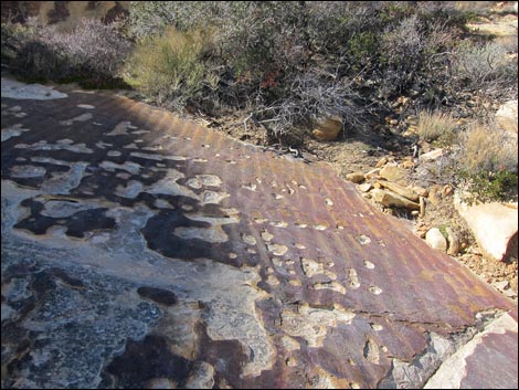
Overview Fossil Ripple Marks from the Shore of some Ancient Lake This fairly strenuous, 2.4-mile round-trip hike runs up a canyon and over sandstone slickrock to a large natural depression (a "tank" or "tinaja") near the top of the Calico Hills ridge. The tank sometimes holds water, and there are great views of Calico Basin and the Las Vegas Valley from a saddle just beyond the tank. Near the Calico Tanks, hikers can see some nice examples of fossilized ripple marks when some ancient lake or slow-moving stream moved the sand about. This hike is described in detail, including a written description, photos, maps, and GPS coordinates, on the Calico Tank Trail webpage. |
 |
 |
 |
 |
 |
 |
Happy Hiking! All distances, elevations, and other facts are approximate.
![]() ; Last updated 240330
; Last updated 240330
| Calico Tanks Trail | Hiking Around Red Rocks | Hiking Around Las Vegas | Glossary | Copyright, Conditions, Disclaimer | Home |