
Backroads Around Las Vegas, Red Rock Canyon NCA

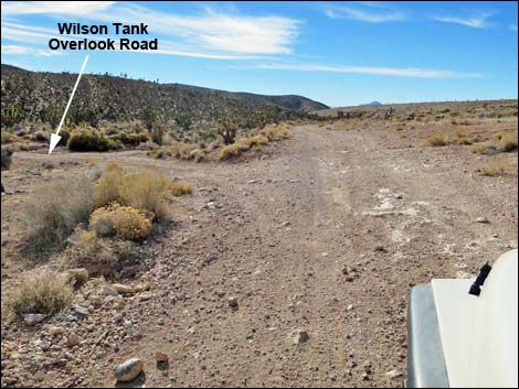 Cottonwood Valley Road at Wilson Tank Overlook Road (view S) |
Overview Wilson Tank Overlook Road is a 0.2-mile spur road off of Cottonwood Valley Road. The road provides access to an overlook on the crest of the Birdspring Range with nice views down into Las Vegas. Link to map. Watch Out Other than the standard warnings about driving in the desert, ...this road is a fine 2WD-HC road, but getting there from the north requires a 4WD vehicle. Cell phones work in some areas. Keep an eye out for bikers. Don't drive past the end of the road -- there is no guardrail. While out, please respect the land and the other people out there, and try to Leave No Trace of your passage. Also, be sure to bring what you need of the 10 Essentials. |
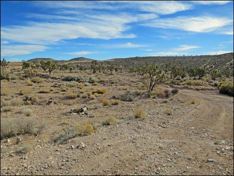 Turning onto Wilson Tank Overlook Road (view E) |
Getting to the Roadhead Wilson Tank Overlook Road is a spur road off of Cottonwood Valley Road. For the north end of Cottonwood Valley Road, from Las Vegas, drive west on Highway 160 (Pahrump Highway) to the Cottonwood Valley Trailhead. For the south end of Cottonwood Valley Road, from Las Vegas, drive south on Interstate-15 to Jean. Exit right onto Highway 161 and drive northwest for about 6.7 miles to the Pioneer Saloon (Site 1367) in Goodsprings. For details of Cottonwood Valley Road from either direction, see Cottonwood Valley Road. |
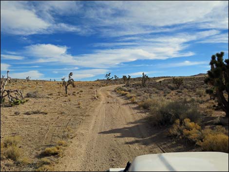 Wilson Tank Overlook Road (view E) |
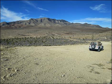
The Road From Cottonwood Valley Road (Table 1, Site 1543), Wilson Tank Overlook Road runs down and east to cross a sandy wash. Across the wash, the road bends north, then bends eastward and continues towards a large parking area that can be seen from Cottonwood Valley Road. In 0.2 miles, the road dead ends at an overlook (Site 1545). There is no guardrail, so don't race up the road too fast. From the overlook, view spread out below into Wilson Tank Canyon and Wilson Tank Road, and views northeast include the Las Vegas Valley and mountain ranges stretching farther north. The overlook has been used as a primitive campsite for years. |
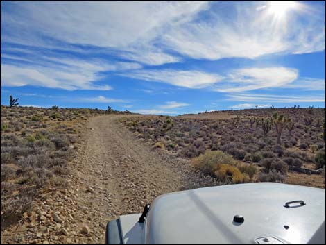 Wilson Tank Overlook Road (view E) |
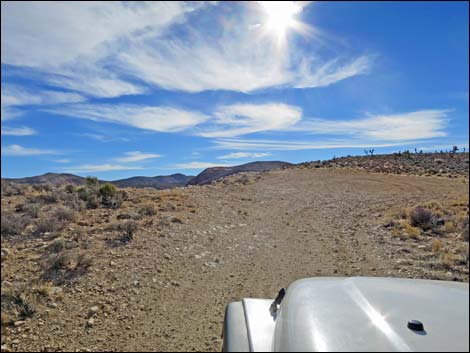 Approaching Wilson Tank Overlook (view E) |
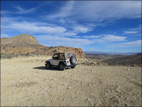 Wilson Tank Overlook (view NE towards Las Vegas) |
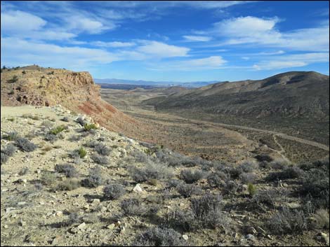 Wilson Tank Overlook (view NE towards Las Vegas) |
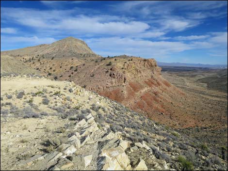 Wilson Tank Overlook (view N along Birdspring Range) |
 Wilson Tank Overlook (view NW towards Mt. Potosi) |
Table 1. Highway Coordinates based on GPS Data (NAD27; UTM Zone 11S). Download Highway GPS Waypoints (*.gpx) file.
| Site | Location | UTM Easting | UTM Northing | Latitude (N) | Longitude (W) | Elevation (ft) | Verified |
|---|---|---|---|---|---|---|---|
| 1543 | Cottonwood Rd at Wilson Tank Overlook Rd | 641644 | 3977590 | 35.93421 | 115.42981 | 4,604 | Map |
| 1545 | Wilson Tank Overlook | 641877 | 3977562 | 35.93392 | 115.42723 | 4,631 | Map |
Happy Hiking! All distances, elevations, and other facts are approximate.
![]() ; Last updated 240330
; Last updated 240330
| Backroads | Hiking Around Las Vegas | Glossary | Copyright, Conditions, Disclaimer | Home |