Hiking Around Las Vegas, Red Rock Canyon National Conservation Area
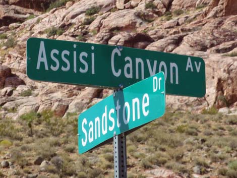 |
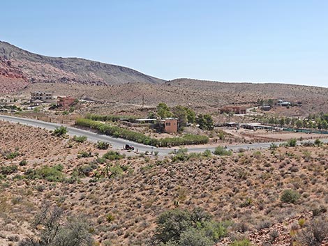
Assisi Trailhead is located in the Calico Basin area of Red Rock Canyon National Conservation Area, about 30 minutes west of Las Vegas. From town, drive out towards Red Rocks. From West Charleston Blvd at Highway 215 (the western beltway; Table 1, Site 516), drive west on Charleston 3.8 miles to Calico Basin Road (Site 0520). Turn right onto Calico Basin Road and drive north, curving right past the entrance to Red Springs Picnic Area, for 1.4 miles to the intersection of Assisi Canyon Avenue and Sandstone Drive. Park on the wide, straight shoulders (Site 1036), but not on the inside of the curve (watch for no-parking signs). Park here; this is the trailhead. Assisi Road Trailhead provides access to hikes in the Calico Basin area. A large number of unmarked trails crisscross the area, providing access to the sandstone cliffs, several springs, rock climbing crags, and several miles of relatively flat walking. Link to trailhead map. |
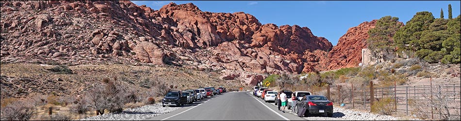
Assisi Trailhead Parking Outbound (westbound Assisi Ave and northbound Sandstone Dr)
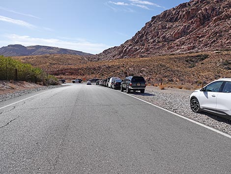
 Off pavement trailhead parking along Assisi Ave (view W) |
 Off pavement trailhead parking along Assisi Ave (view W) |
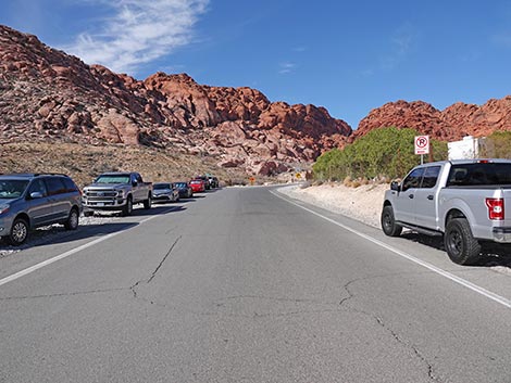 Off pavement trailhead parking along Assisi Ave (view W) |
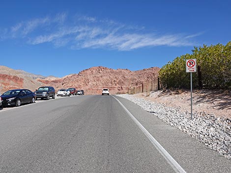
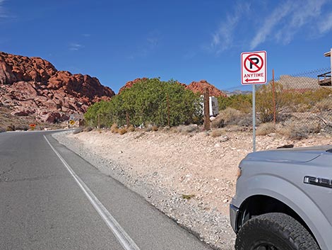 No parking on the inside of the curve along Assisi Ave (view W) |
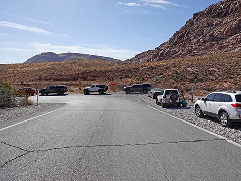
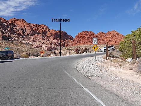 Trail starts at Assisi and Sandstone roads (view NW) |
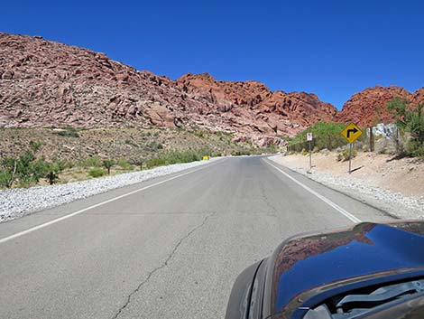
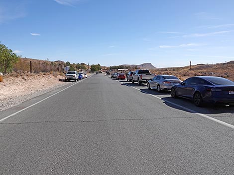
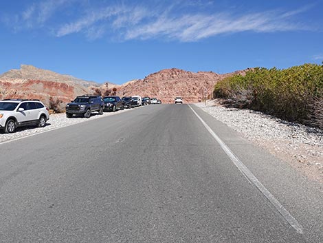 Off pavement parking along Sandstone Dr. (view N) |
 End of no parking zone on Sandstone Dr (view N) |
 More to come ... |
Assisi Trailhead Parking Return (southbound Sandstone Dr and eastbound Assisi Ave)
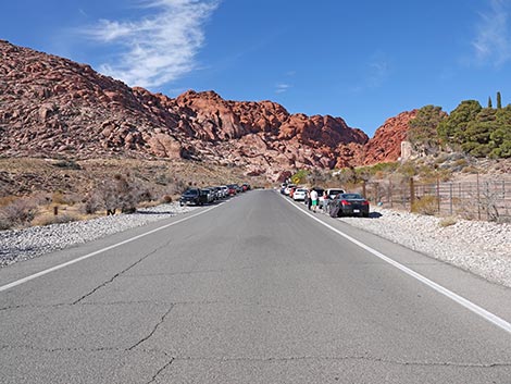
 Southbound Sandstone Dr: parking on outside of curve (view S) |
 Southbound Sandstone Dr: parking on outside of curve (view S) |
 Eastbound Assisi: parking on outside of curve (view S) |
More to come ... |
Assisi Trailhead
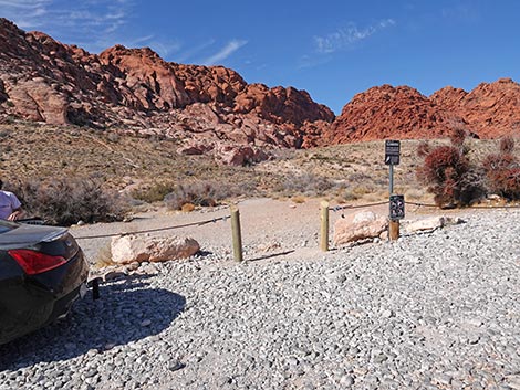 Start of Assisi area trails (view NW) |
 Assisi Road Trailhead (view NE from Calico Basin Trail) |
Table 1. Highway Coordinates (NAD27; UTM Zone 11S). Download Highway GPS Waypoints (*.gpx) file.
| Site # | Location | Latitude (N) | Longitude (W) | UTM Easting | UTM Northing | Elevation (feet) | Verified |
|---|---|---|---|---|---|---|---|
| 0516 | Charleston at Hwy 215 | 36.15910 | 115.33661 | 649626 | 4002676 | 3,070 | Yes |
| 0520 | Charleston at Calico Basin Rd | 36.14184 | 115.39871 | 644071 | 4000667 | 3,506 | Yes |
| 1036 | Assisi Road Trailhead | 36.14951 | 115.41911 | 642221 | 4001488 | 3,620 | Yes |
Happy Hiking! All distances, elevations, and other facts are approximate.
![]() ; Last updated 250706
; Last updated 250706
| Hiking Around Red Rocks | Hiking Around Las Vegas | Glossary | Copyright, Conditions, Disclaimer | Home |