
Hiking Around Las Vegas, Arrow Canyon Range, Arrow Canyon Wilderness Area

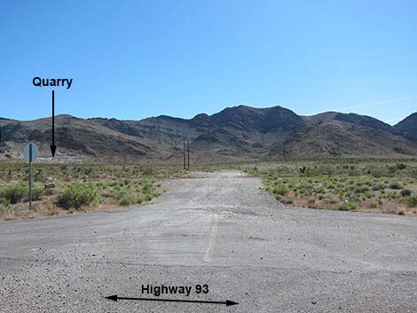 Hwy 93 turnoff; note quarry in distance (view E) |
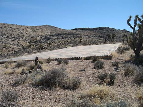
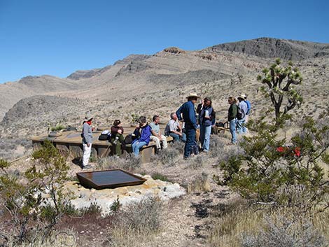
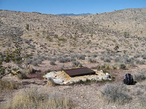
Overview This off-trail hike at the edge of the Arrow Canyon Wilderness Area runs about 4 miles round-trip, maybe less taking a more direct route down. From the trail, the route follows a rocky desert canyon and a ridge for about for about 2 miles to a guzzler. The hike ends where desert bighorn sheep and other animals can expect to find water in this dry desert land. The guzzler makes a nice destination, but don't spend too much time near the water because thirsty animals will be frightened away. Link to map. |
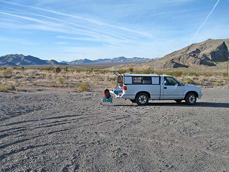 Relaxing in the quarry area (view N) |
Watch Out Other than the standard warnings about hiking in the desert, ...this is a fairly safe hike with only the usual hazards. Rescue from the canyon would be a pain, so be careful. While hiking, please respect the land and the other people out there, and try to Leave No Trace of your passage. Also, this hike is fairly short, so just bring what you need of the 10 Essentials. |
 |
Getting to the Trailhead This hike is located just outside the southwest corner of the Arrow Canyon Wilderness Area, about 30 minutes northeast of Las Vegas. From Las Vegas, drive north on Interstate-15 for 21 miles to Highway 93. Turn left onto Great Basin Highway (Hwy 93) and drive north 16.4 miles to a side road on the right. Turn right onto Guzzler Access Road and drive northeast into the canyon just past the cell tower. Park here; this is the trailhead. |
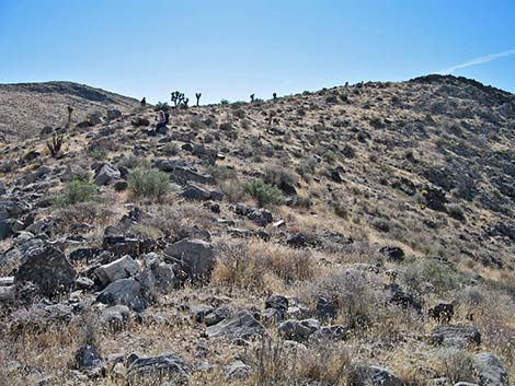 |
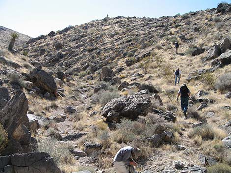
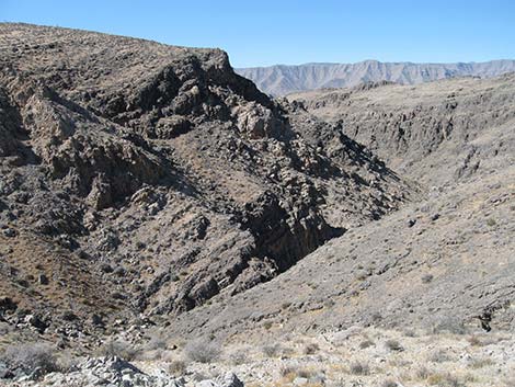
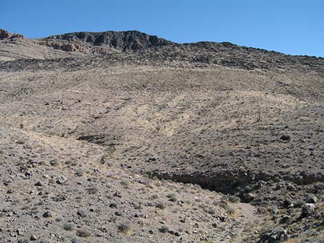
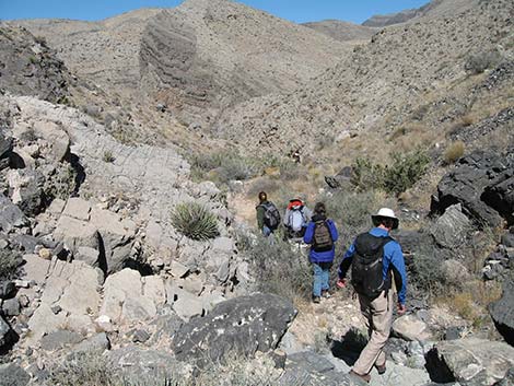
The Hike From the Trailhead (Table 1, Waypoint 01), the hike follows up the wash to the northeast. Following the wash, the canyon generally runs northeast, then makes a major curve southeast (Wpt. 02). The canyon winds about, but now generally trends east-southeast. At a major side canyon, the main canyon bends north. When the canyon bends back towards the south (Wpt. 03), the route exits the wash and climbs out of the canyon onto the ridgeline (Wpt. 04) to the south. Climbing the ridge, look for the water collector at the guzzler in the distance to the south. The guzzler is in the broad valley to the west of the ridgeline, and the route contours over to the guzzler (Wpt. 05). |
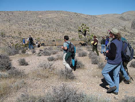 |
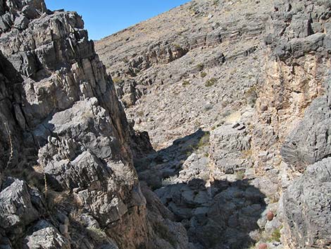
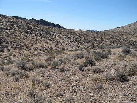
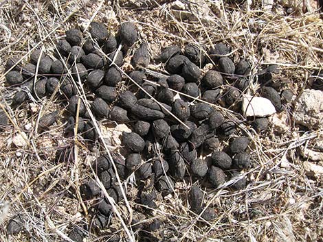
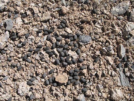
Around the guzzler, keep an eye out for bighorn sheep. If they are at the guzzler, they probably will start moving off as soon as hikers come out of the canyon, so watch carefully in the distance and check the rocky outcrops beyond the guzzler. Evidenced by scat in the area, bobcats are common too, so keep an eye out for these shy creatures. The habitat type in the area is Mojave Desert Scrub where Joshua Trees and a diversity of shrubs. In the main canyon, many nice examples of Grizzlybear Pricklypear Cactus can be found. Around the guzzler, blackbrush is common, as are invasive grasses. When ready to hike down, either follow your footprint back to the trailhead (Wpt. 01), or consider hiking directly west from the guzzler. This alternative route leads down a steep, rocky canyon that empties into the main canyon. |
 |
 |
 |
 |
 |
 |
 |
 |
 drinker |
 hikers heading down |
Table 1. Hiking Coordinates and Distances based on GPS Data (NAD27; UTM Zone 11S). Download hiking GPS waypoints (gpx) file.
| Wpt. | Location | UTM Easting | UTM Northing | Elevation (ft) | Point-to-Point Distance (mi) | Cumulative Distance (mi) |
|---|---|---|---|---|---|---|
| 01 | Guzzler Trailhead | 686908 | 4052104 | 2,959 | 0.00 | 0.00 |
| 02 | Wash Bends Southeast | 687703 | 4053153 | 3,301 | 1.10 | 1.10 |
| 03 | Turn out of Canyon | 688063 | 4053157 | 3,467 | 0.44 | 1.54 |
| 04 | Ridgeline | 688105 | 4053003 | 3,624 | 0.11 | 1.65 |
| 05 | Guzzler | 688087 | 4052484 | 3,695 | 0.35 | 2.00 |
| 01 | Guzzler Trailhead | 686908 | 4052104 | 2,959 | 2.00 | 4.00 |
Happy Hiking! All distances, elevations, and other facts are approximate.
![]() ; Last updated 240330
; Last updated 240330
| Arrow Canyon Range | Hiking Around Las Vegas | Glossary | Copyright, Conditions, Disclaimer | Home |