
Backroads Around Las Vegas, Arrow Canyon Wilderness Area

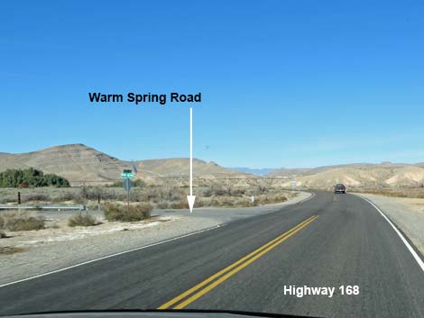 Highway 168 at Warm Spring Road (getting close!) |
Note: Nov. 2023. Hikers report that the second half of Arrow Canyon Road is badly washed out and requires high-clearance 4WD vehicles. Overview Arrow Canyon Road runs 2.0 miles from Highway 168 to the edge of the Arrow Canyon Wilderness Area in Lower Arrow Canyon and provides hiking access to the spectacularly deep-and-narrow Arrow Canyon. This road is graded and maintained past a residence to a municipal water facility, but after that, the road is an unmaintained two-track. Hikers in sedans can drive out 0.5 miles and park past the water facility, and under good conditions, the entire road is suitable for 2WD high-clearance vehicles, but the road washes out and can require 4WD. There has been a history of access issues with a landowner along the road. The road provides legal access across private property (evidenced by the BLM signs), but try not to annoy the landowner. Link to map. |
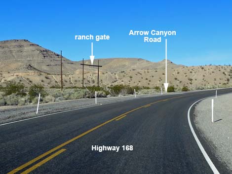 Approaching Arrow Canyon Access Road (view W) |
Watch Out Other than the standard warnings about hiking and driving in the desert, ...this is an easy drive if the first crossing is okay, but the first wash crossing usually is the worst for sand and steep slopes. Beyond there, only the last wash crossing might cause 2WD problems. Other than the first wash crossing, there are no sandy spots on this road. While out, please respect the land and the other people out there, and try to Leave No Trace of your passage. Also, even though this road is short, be sure to bring what you need of the 10 Essentials. Be aware of the weather report and stay out of this area if rain is expected; you don’t want to get caught in a flash flood. It is my understanding that the homeowner does not like company, so wave politely and drive on by at a speed that does not cause a dust cloud. |
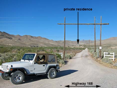 Arrow Canyon Road (view SW from pavement) |
Getting to the Roadhead This road is located on Highway 168 northwest of Moapa and Glendale, about 1 hour from Las Vegas. From town, out to the Arrow Canyon Wilderness Area. For the quickest route, drive north on Interstate-15 to Glendale (Table 1, Site 0879). Exit the interstate and drive northwest on Highway 168. Drive about 11 miles to a dirt road on the left with a traditional western ranch entrance (Site 1170). This is the Arrow Canyon Access Road. For a more scenic drive, exit Interstate-15 onto Highway 93 (Site 0674). Drive north to Highway 168 (Site 0877). Turn right onto Highway 168 and drive southeast 13 miles to the Arrow Canyon Access Road (Site 1170). |
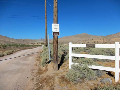 Signs at ranch entrance |
The Road From the pavement (Site 1170), the road runs southwest under an old-style ranch entrance, but without a gate. A small sign on the fence announces "The Bradys." BLM signs at the entrance state "Access to Arrow Canyon" and "All Vehicle Use Limited to Designated Roads and Trails." Just beyond the entrance, a BLM carsonite sign reads "Designated Route, Route Ends 1.8 miles ahead." At about 0.28 miles out, the road forks (Site 1171). The Access Road stays to the right, while the left is the driveway to the big house. This left and others are coated with red gravel: STAY OFF THE RED GRAVEL ROADS! Staying to the right, the road runs out around the private property and over a hill. At the top the hill, a Municipal Water Facility comes into view. Continue down the hill towards the facility. At 0.5 miles out, turn right onto a two-track road marked with a carsonite "Designated Route" sign, which is just before the gates and "No Parking" signs (Site 1172). In a sedan, park along the road just before the "no parking" signs. |
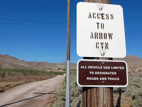 BLM access signs at ranch entrance |
The two-track leads out around the west (right) side of the facility fencing and continues south towards the wash. Just beyond the facility, there is another designated route carsonite sign. At 0.74 miles out, the road crosses Arrow Canyon Wash. Except for near the end of the road, this is the only questionable spot for drivers in 2WD vehicles. The road dips steeply into the wash, turns upstream a few yards, and then climbs steeply out. Because of the sharp turns, drivers can't get up any momentum in the wash bottom. I've seen this with soft sand in the bottom of the wash creating a 2WD trap, and I've seen it with hard-packed gravel, making it a breeze in 2WD. Drivers in a 2WD vehicles should check the road before driving into the wash to make sure you can make it back out (both ways). Beyond the first wash crossing, the road is fairly good. There are a few bumps, but generally the road is fine with a firm base. At about 0.80 miles out, the road passes a campsite on the left. |
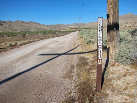 BLM "Designated Route" sign inside ranch entrance |
The road crosses the wash a couple of times. At 1.63 miles out, the road is on the south side of the wash and passes a short spur road to the left that leads to a large parking area and campsite. Beyond this point, the road gets rougher, so some drivers might want to stop at the campsite and hike the rest of the way. Continuing, the road runs into the rocky wash and eventually climbs out in a rough spot to the south side. After that, a good road runs out another 2 minutes and ends at a cable fence with a carsonite sign announcing the end of the road and the beginning of the Arrow Canyon Wilderness Area (Site 0632). There is one nice campsite here, and space for another. For hikers, this is the Arrow Canyon Trailhead, and the best of the narrows starts about 1 mile up the canyon. For a different perspective on the road, see the Arrow Canyon Road - Outbound Photos webpage. |
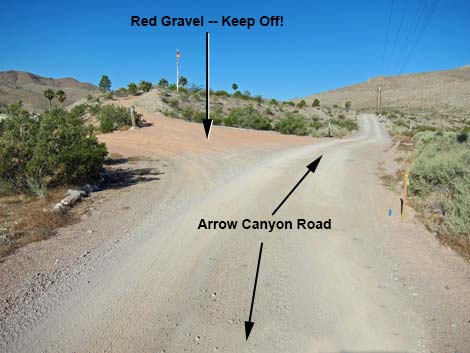 Roads with red gravel are private property |
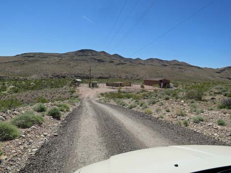 Approaching the water facility (view S) |
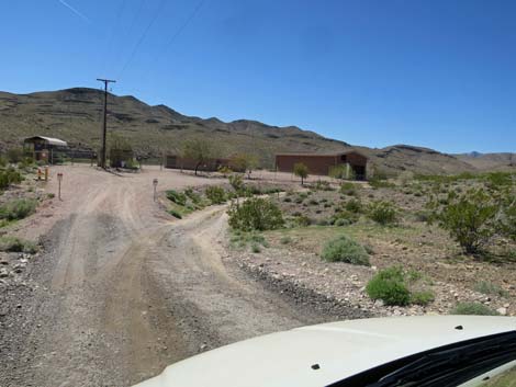 Two-track road turns off before Water facility (view S) |
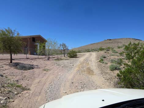 Two-track road passes around the water facility (view SW) |
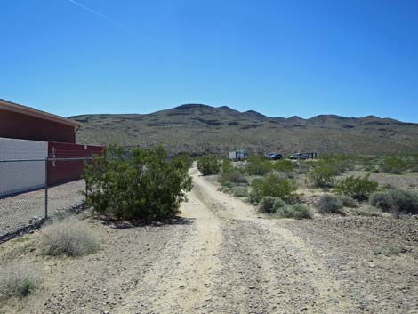 Passing the water facility (view S) |
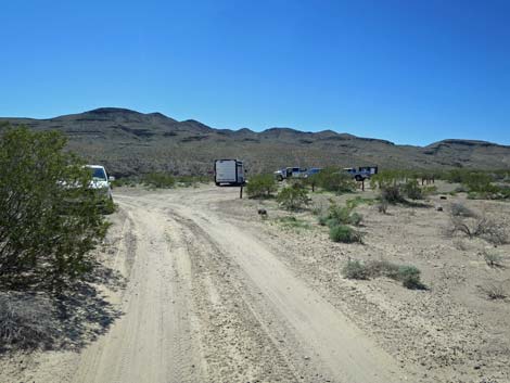 Approaching the 2WD parking area (view S) |
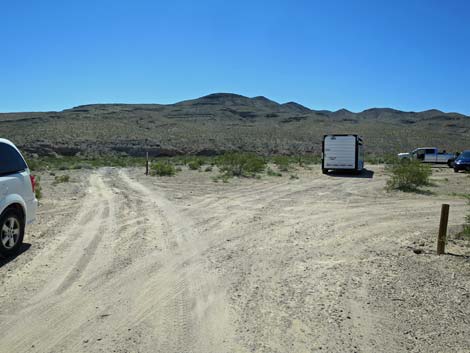 Entrance to the 2WD parking area (view S) |
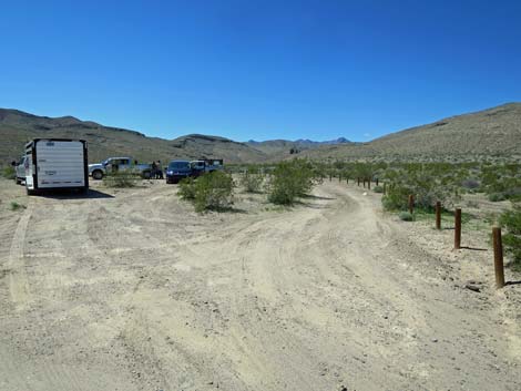 2WD parking area (view SW) |
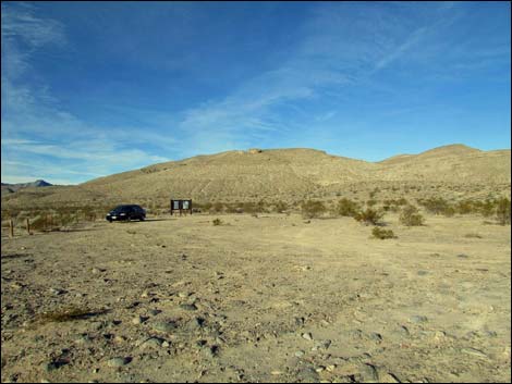 2WD parking area (view W from road) |
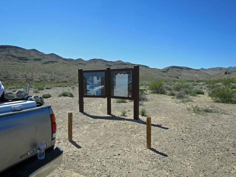 Information sign at the 2WD parking area (view SW) |
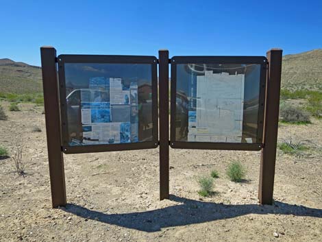 Information sign at the 2WD parking area (view SW) |
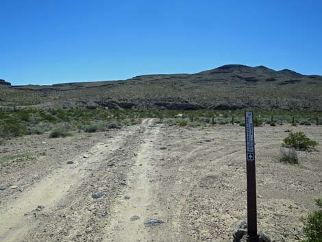 Arrow Canyon Road at middle of 2WD parking area (view S) |
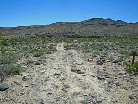 Arrow Canyon Road continues past the 2WD parking area (view S) |
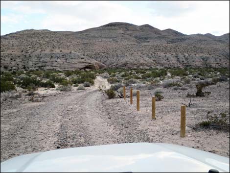 A few more cedar posts along the road |
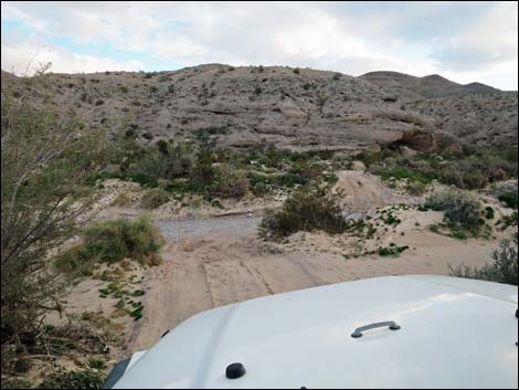 Road drops into wash (0.74 miles out; view S) |
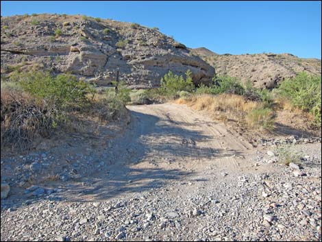 Road climbs out of wash (before floods; 0.74 miles out; view SW) |
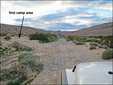 Turn off to first camp area (0.79 miles out; view SW) |
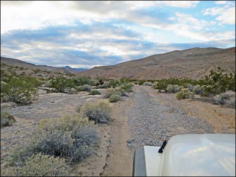 Road (0.98 miles out; view SW) |
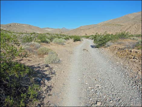 Road (1.02 miles out; view W) |
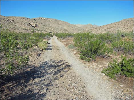 Road (1.21 miles out; view SW) |
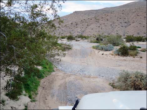 Road crosses wash to N side (1.35 miles out) |
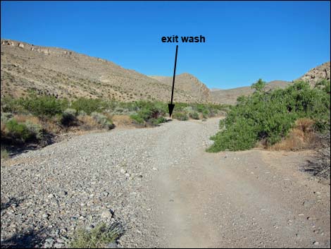 Before flood: crossing wash to S side (1.41 miles out; view SW) |
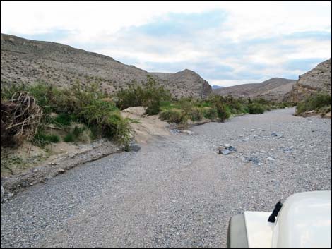 Exiting wash to S side (1.43 miles out; view SW) |
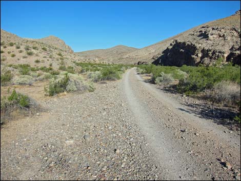 Road (1.49 miles out; view W) |
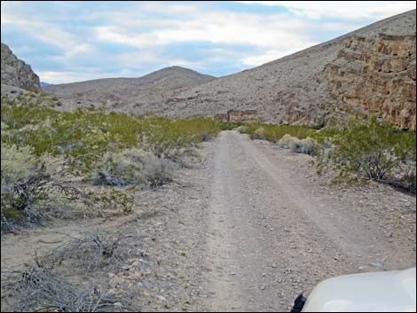 Road (1.55 miles out; view W) |
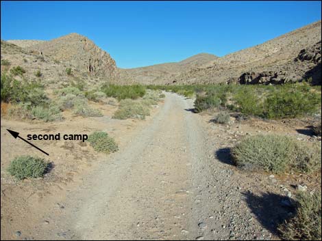 Before flood: road at turn to second camp (1.63 miles out; view W) |
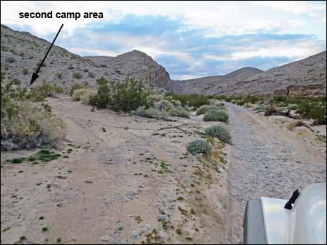 After flood: road at turn to second camp (1.63 miles out; view W) |
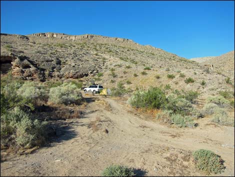 Big campsite on spur road (1.63 miles out; view S) |
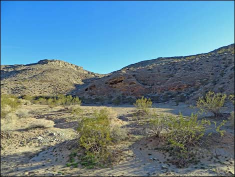 Big campsite on spur road (1.63 miles out; view S) |
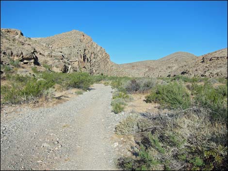 Road (1.71 miles out; view SW) |
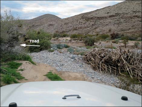 Start of serious washout (1.74 miles out; view SW) |
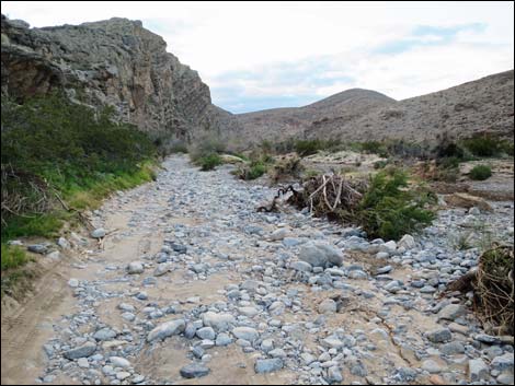 Washed out road (1.76 miles out; view SW) |
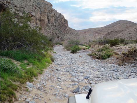 Washed out road (1.77 miles out; view SW) |
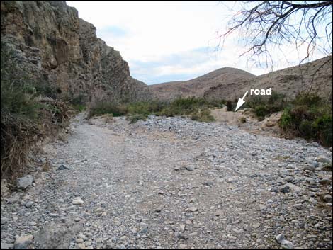 Washed out 4WD wash crossing (1.79 miles out; view SW) |
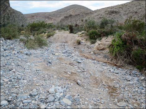 Washed out wash crossing requires 4WD (1.80 miles out; view SW) |
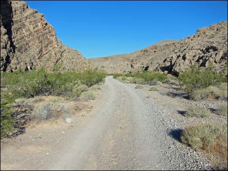 Easy road past the rough spot (1.85 miles out; view W) |
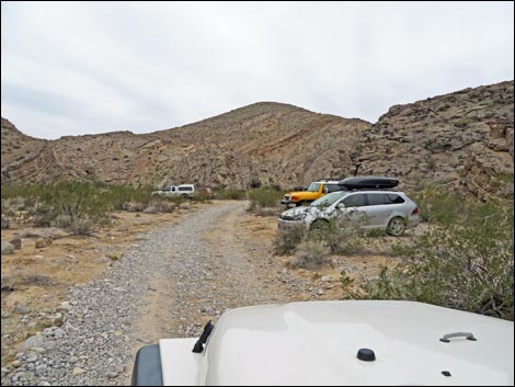 Arriving at trailhead parking (1.97 miles out; view W) |
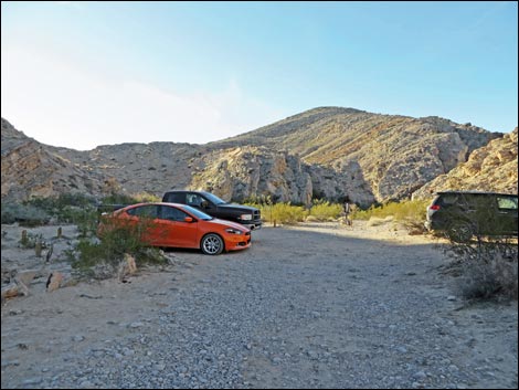 Trailhead Parking (view W; don't drive a sedan here - towed out) |
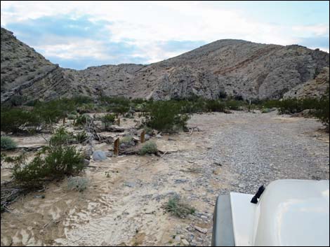 Trailhead parking (1.97 miles out; view W) |
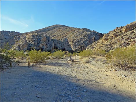 Trailhead Parking (view W) |
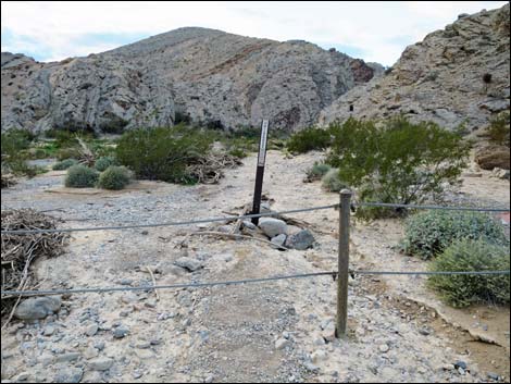 Cable fence at end of the road (view W; 1.98 miles out) |
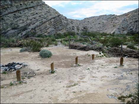 Trailhead Parking (view W) |
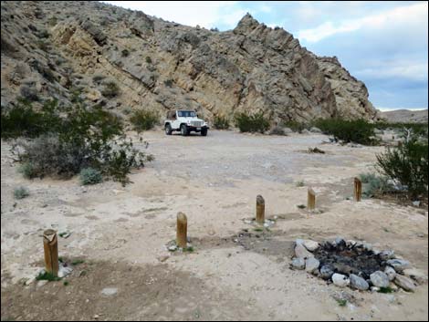 Trailhead Parking and campsite (view W) |
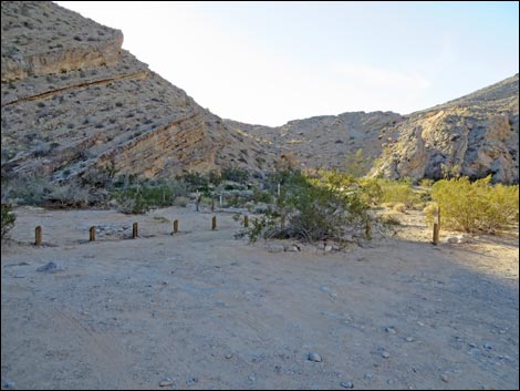 Trailhead Parking (view W) |
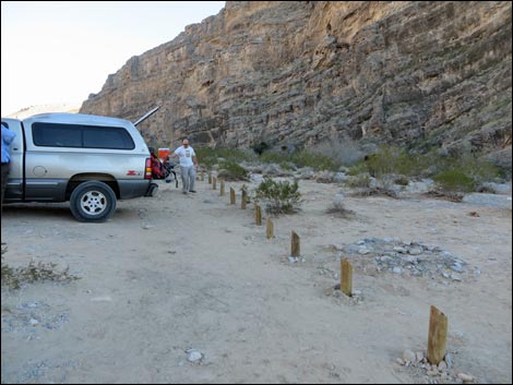 Trailhead Parking (view W) |
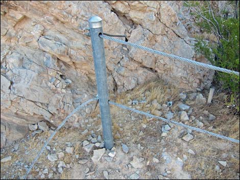 Cable fence at end of the road |
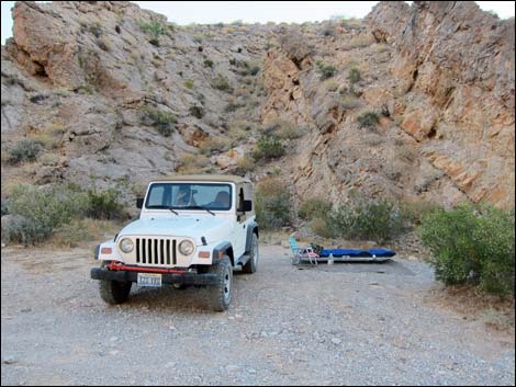 Campsite at end of the road (view N) |
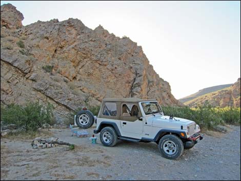 Campsite at end of the road (view E) |
Table 1. Backroad Coordinates based on GPS data (NAD27; UTM Zone 11S). Download Highway GPS Waypoints (*.gpx) file.
| Site # | Location | UTM Easting | UTM Northing | Latitude (N) | Longitude (W) | Elevation (ft) | Verified |
|---|---|---|---|---|---|---|---|
| 0632 | Arrow Canyon, Lower Parking | 699387 | 4066791 | 36.72773 | 114.76724 | 1,929 | GPS |
| 0674 | I-15 at Hwy 93 | 689188 | 4028063 | 36.38091 | 114.89089 | 2,215 | Yes |
| 0877 | Hwy 93 at Hwy 168 | 683266 | 4074374 | 36.79930 | 114.94584 | 2,532 | Yes |
| 0878 | Hwy 168 at Warm Springs Rd (W) | 702121 | 4067952 | 36.73761 | 114.73635 | 1,831 | Yes |
| 0879 | I-15 at Hwy 168 (Glendale) | 716889 | 4059763 | 36.66059 | 114.57340 | 1,542 | Yes |
| 1169 | Hwy 168 at Warm Springs Rd (E) | 702841 | 4067680 | 36.73501 | 114.72836 | 1,816 | Yes |
| 1170 | Hwy 168 at Arrow Canyon Access Road | 701747 | 4068077 | 36.73882 | 114.74050 | 1,823 | Yes |
| 1171 | Red Driveway (Keep out) | 701357 | 4067847 | 36.73683 | 114.74493 | 1,850 | GPS |
| 1172 | Municipal Water Facility | 701185 | 4067605 | 36.73469 | 114.74691 | 1,867 | GPS |
| 1173 | Road Drops into Wash | 701188 | 4067293 | 36.73188 | 114.74696 | 1,857 | GPS |
| camp | camp | 701131 | 4067211 | 36.73115 | 114.74763 | 1,853 | GPS |
| camp | camp | 699898 | 4066808 | 36.72778 | 114.76152 | 1,879 | GPS |
| rough spot | rough spot | 699652 | 4066771 | 36.72749 | 114.76429 | 1,879 | GPS |
Happy Hiking! All distances, elevations, and other facts are approximate.
![]() ; Last updated 240330
; Last updated 240330
| Backroads | Hiking Around Las Vegas | Glossary | Copyright, Conditions, Disclaimer | Home |