Rocks and Geology Around Las Vegas
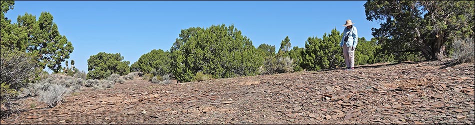
 Fossil hunter looking for trilobites at the quarry site (view NW) |
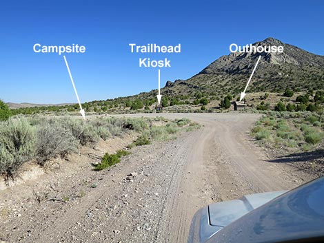
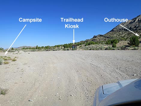
The Oak Springs Trilobite Site consists of a small area where fossil-bearing shale outcrops on fairly level terrain along Highway 93 west of Caliente, Nevada. Trilobites here occur in the Combined Metals Member of the Pioche Formation, in tan and green shales dating from about 500-524 mya. Few specimens are intact, but it is easy to find legs and head shields from six species in the family Olenellidae. Link to online information or a PDF of the page. Access to the site is via a paved Highway 93 and a short, graded dirt road leading to a parking area. From there, a 0.27-mile foot trail leads generally west to the quarry site, but for people who can't walk, drive west past the parking area about 0.22 miles to the first right turn. The road drops into a sandy wash, so be careful driving past the kiosk area. A BLM kiosk is located at the parking area, and pamphlets are available to learn more about the history of the area and these creatures. There is also an outhouse and two picnic tables. There is a third picnic table at a campsite across from the kiosk. Link to map or PDF (3.5 MB) of brochure (front side, back side). |
Oak Springs Trilobite Site Access Road
 Highway sign along Highway 93 (view SE) |
 Highway 93 at Oak Springs access road (view NE) |
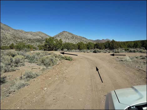 Oak Springs access road; triangle intersection (view NE) |
 Oak Springs access road approaching a cattle guard (view NW) |
 Oak Springs access road at a cattle guard (view NW) |
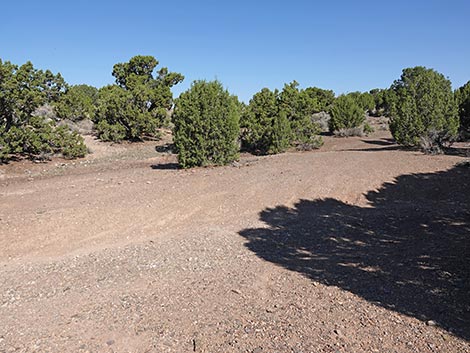
 Oak Springs access road runs straight towards trailhead (view NW) |
 Oak Springs access road approaching the trailhead (view NW) |
 Oak Springs access road entering the trailhead (view NW) |
Oak Springs Trilobite Site Trailhead
 Oak Springs Trilobite Site Trailhead Kiosk (view NW) |
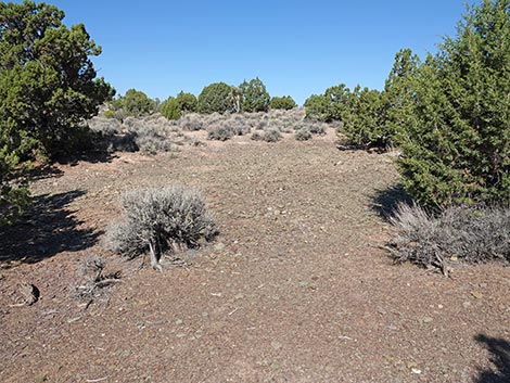
 To the left, a campsite; road becomes sandy (view W) |
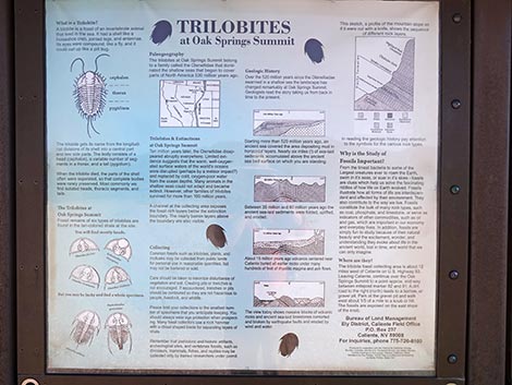 Sign on kiosk: trilobites and geology |
 Sign on kiosk: six species of trilobites are found here |
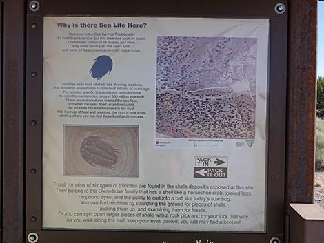 Sign on kiosk: trilobites and aerial photo map |
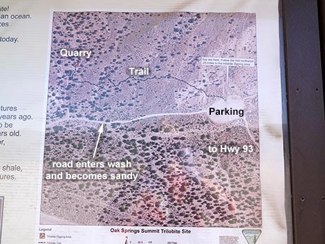 Sign on kiosk: aerial photo map details with annotations |
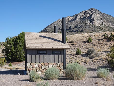 Vault toilet (view N) |
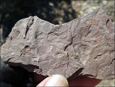
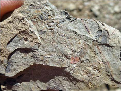
 Picnic table with discarded specimens (mostly pretty rocks) |
 Picnic table with discarded specimens (mostly pretty rocks) |
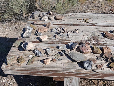 Picnic table with discarded specimens (mostly pretty rocks) |
 Discarded fossils on table at trailhead |
 Discarded fossils on table at trailhead |
 Discarded fossils on table at trailhead |
 Discarded fossils on table at trailhead |
 Discarded fossils on table at trailhead |
 More to come ... |
Oak Springs Trilobite Site Trail
Oak Springs Trilobite Site Trailhead Kiosk (view NW) |
 The trail starts behind the kiosk (view NW) |
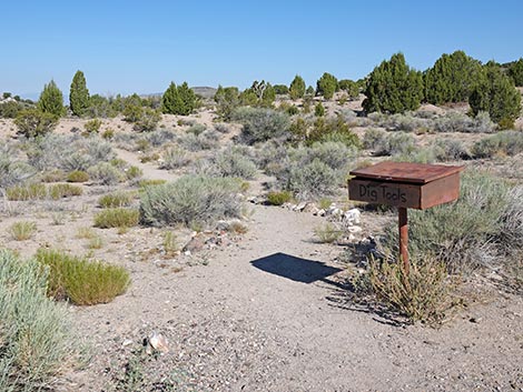 Trail continues past the trail register box (view NW) |
 Register box is marked "Dig Tools" and "Please Return" |
 Dig tools to loan |
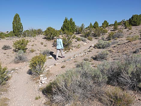 Hiker starting on the trail |
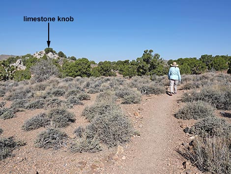
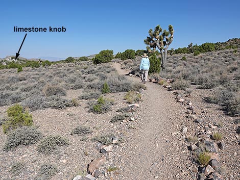 Quarry is just north of limestone knob (view NW) |
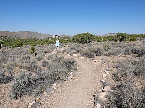 Fairly level trail runs over rolling terrain (view W) |
 Trail runs over rolling terrain (view W) |
 Trail runs over rolling terrain (view NW) |
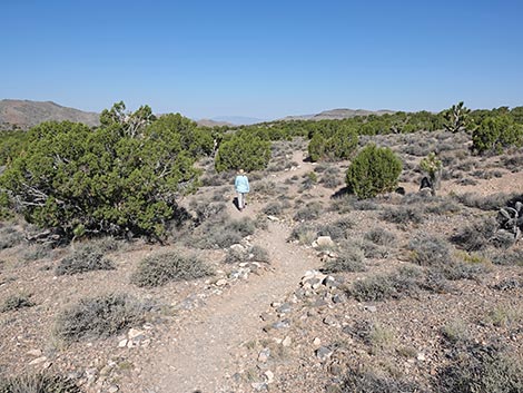
 Trail descending into a gully (view NW) |
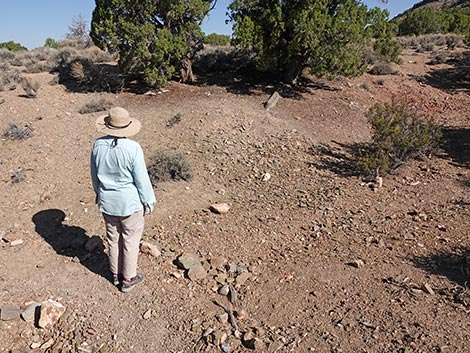 An isolated dig site along the trail (view NW) |
 Isolated dig site along the trail (view NW) |
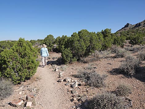
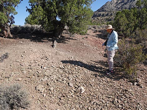
 Hiker entering outer fringe of the quarry area (view NW) |
 Another isolated dig site (view SW) |
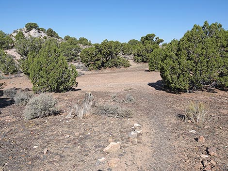 Approaching the end of an old road (view W) |
 End of an old road that comes from the south (view NW) |
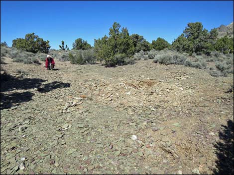
 Entering the main quarry area (view NW) |
Oak Springs Trilobite Site Quarry
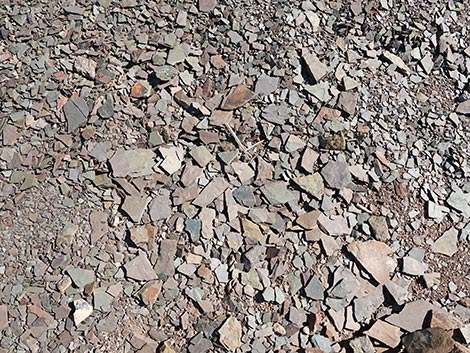
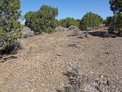
 Sun reflects off the shale fragments in morning light (view E) |
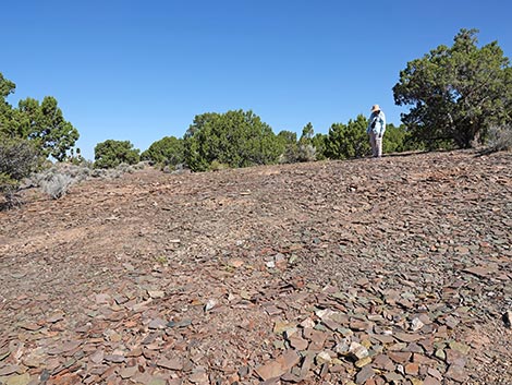 Hiker provides scale at one quarry site (view NW) |
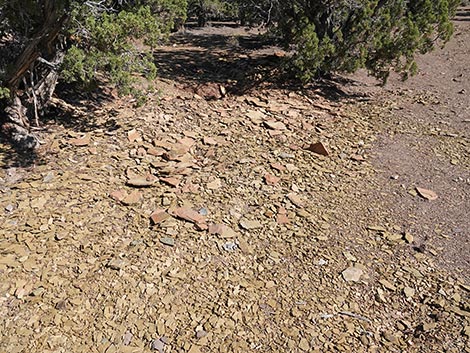
 Dig site with reddish shales (view NW) |
 Dig sites |
 Hiker examining discarded shale fragments (view NW) |
 Dig site with yellow shales (view NW) |
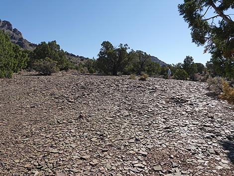
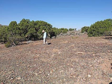
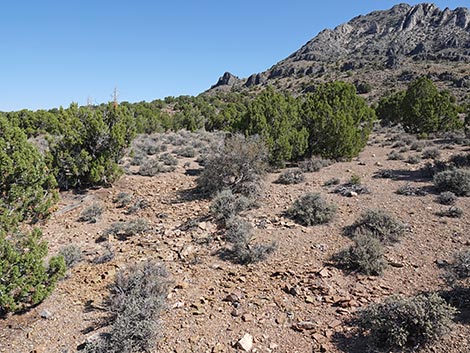
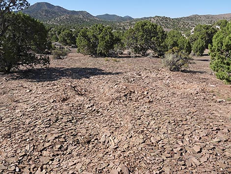 Extensive quarry site (view S) |
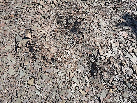
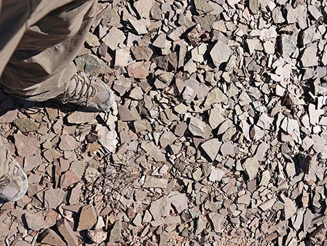 Lots of little shale fragments |
 Dig site with red shales (view NW) |
 Dig site with yellow shales (view NW) |
Dig site with green shales (view NW) |
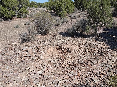
 Dig site on the periphery of the main area (view N) |
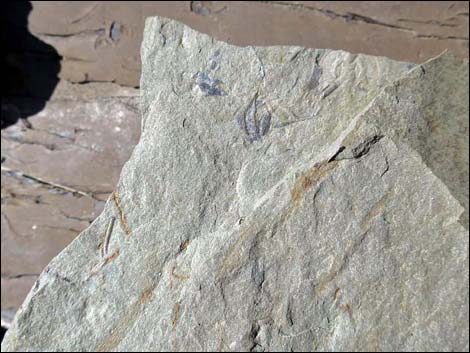
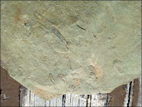
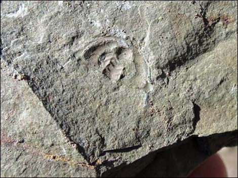
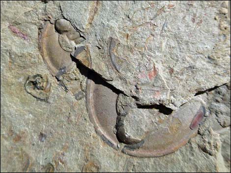
Oak Springs Trilobite Site Specimens
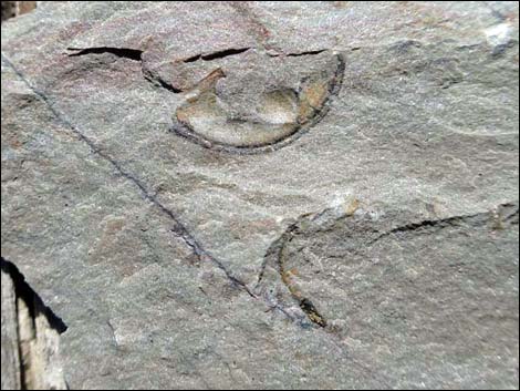
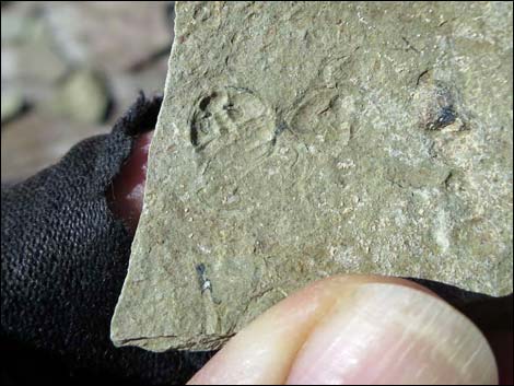
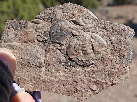
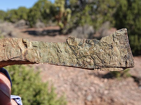
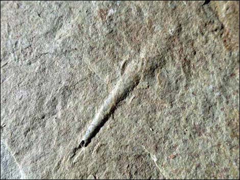
 Oak Springs Trilobite specimen |
 Oak Springs Trilobite specimen |
 Oak Springs Trilobite specimen |
 Oak Springs Trilobite specimen |
 Oak Springs Trilobite specimen |
 Oak Springs Trilobite specimen |
 Oak Springs Trilobite specimen |
 Oak Springs Trilobite specimen |
 Oak Springs Trilobite specimen |
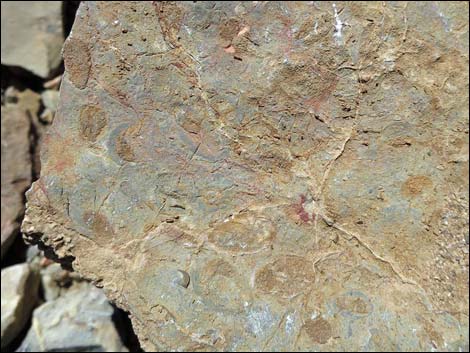 Blue-green algae "oncolites"? |
Table 1. Highway and Hiking Coordinates based on GPS Data (NAD27). Download Highway GPS Waypoints (gpx) file.
| Site | Location | UTM Easting | UTM Northing | Latitude (N) | Longitude (W) | Elevation (ft) | Verified |
|---|---|---|---|---|---|---|---|
| 1551 | Hwy 93 at Oak Springs Trilobite Rd | 702381 | 4164748 | 37.60942 | 114.70723 | 5,865 | Yes |
| 1608 | Oak Springs Trailhead Parking | 702039 | 4165258 | 37.61408 | 114.71096 | 5,755 | Yes |
Table 2. Hiking Coordinates and Distances based on GPS Data (NAD27; UTM Zone 11S). Download Hiking GPS Waypoints (gpx) file.
| Wpt. | Location | UTM Easting | UTM Northing | Elevation (ft) | Point-to-Point Distance (mi) | Cumulative Distance (mi) | Verified |
|---|---|---|---|---|---|---|---|
| 01 | Oak Springs Trailhead | 702037 | 4165259 | 5,763 | 0.00 | 0.00 | GPS |
| 02 | Oak Springs Trilobite Quarry | 701688 | 4165301 | 5,734 | 0.26 | 0.26 | GPS |
| 01 | Oak Springs Trailhead | 702037 | 4165259 | 5,763 | 0.26 | 0.52 | GPS |
Note: All distances, elevations, and other facts are approximate.
![]() ; Last updated 250712
; Last updated 250712
| Fossils | Rocks and Geology | Hiking Around Las Vegas | Glossary | Copyright, Conditions, Disclaimer | Home |