Birding Around Las Vegas, Outside the Las Vegas Valley
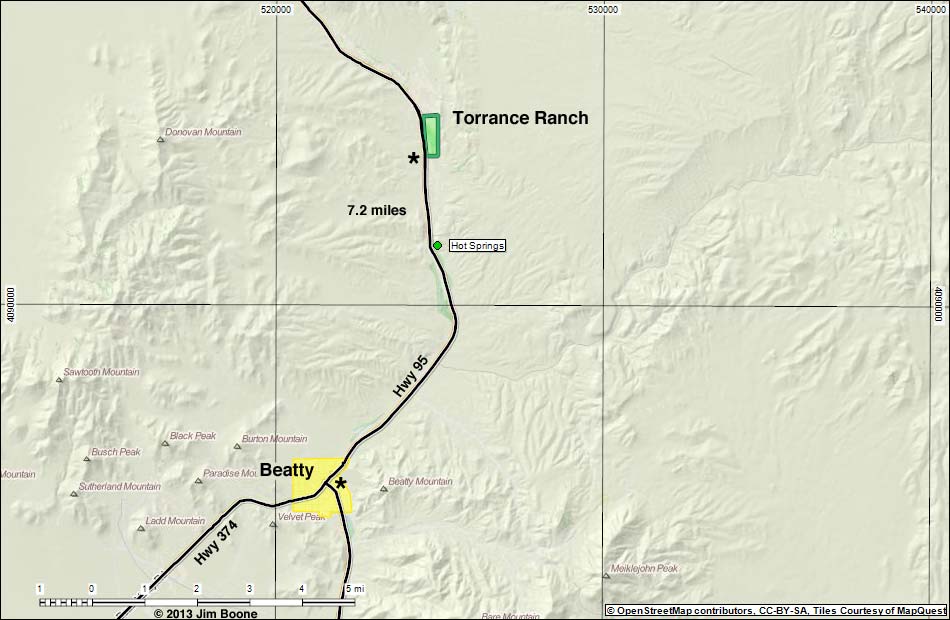
Note: Roads are black (solid = paved; dashed = unpaved). Trails and routes are red (solid = main; dashed = adjacent or alternate). Map based on US Street Map. North is at the top. Grid is UTM NAD27 CONUS. Nature Conservancy Areas (boundaries solid green, fill dark green) based on maps. Urban Areas (yellow) based on Google Earth (5/2013) image.
Happy birding! All distances, elevations, and other facts are approximate.
![]() ; Last updated 130525
; Last updated 130525
| Torrance Ranch | Birding Around Las Vegas | Copyright, Conditions, Disclaimer | Home |