Hiking Around Las Vegas, Death Valley National Park, Death Valley Wilderness Area
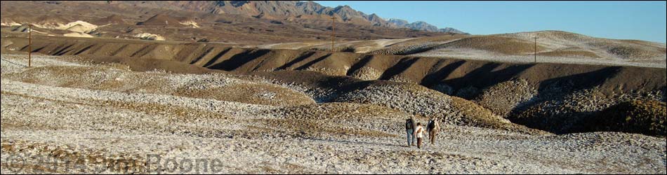
 Starting out towards Gnome Spring (view SE from trailhead) Starting out towards Gnome Spring (view SE from trailhead) |
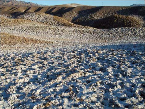
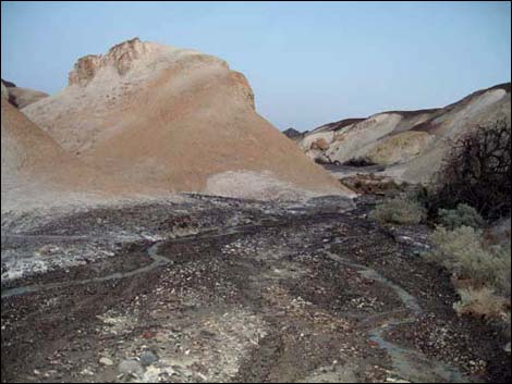
Overview This short hike runs out into an area of spring seeps that has highly eroded salt and mud badlands overlain by alluvial gravels. The route runs off-trail for about 1.2 miles to Gnome Spring, then loops back to the trailhead (2.3 miles round-trip), although hikers can walk wherever they want. This is not a destination hike, but rather a short hike to cap off the day or to do something quick before moving elsewhere. A better name for this area might be "Mustard with Salt and Pepper Canyon," as it has the yellow of mustard canyon, plus white salt and gray gravel. Link to map.Watch Out Other than the standard warnings about hiking in the desert, ... hiking in this area is pretty safe, but it can get rather hot. While hiking, please respect the land and the other people out there, and try to Leave No Trace of your passage. This hike is short, so just bring water and what you need of the 10 Essentials. |
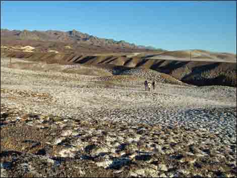
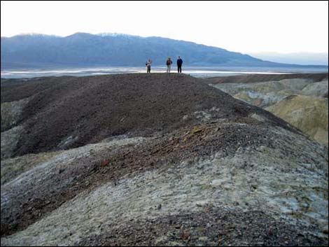
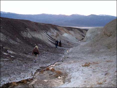
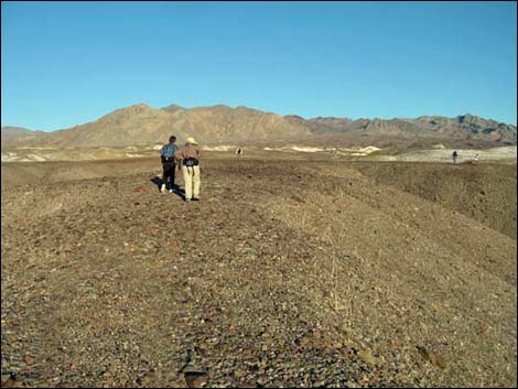 Hikers walking on the dry ridges (view E) |
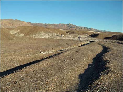
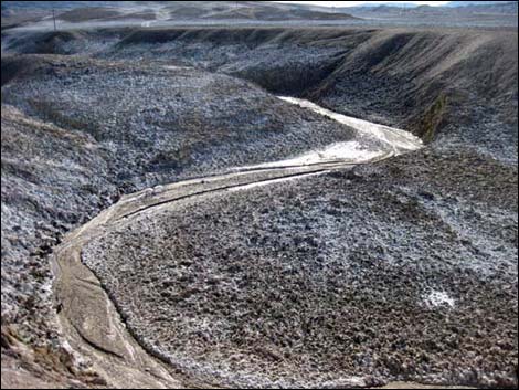
Getting to the Trailhead This hike is located in Death Valley National Park, about 2-1/2 hours northwest of Las Vegas. From town, drive out do Furnace Creek (Table 1, Site 0712), then continue north on Highway 190 for another 2.26 miles to a wide spot on the shoulder of the road (Site 1538). Park here; this is the trailhead. The Hike From the trailhead (Table 2, Waypoint 01), the route runs southeast then east following erosion channels that look a bit like a pair of wagon wheel ruts. Hikers can stay in the wet washes or climb onto the low ridges for a better view of the scenery and drier terrain. Regardless, the goal of this hike is to see the eroded mud and salt, so wander around, walk on the ridges and in the washes, generally heading east. Hikers might consider walking on the ridge and passing under the telephone wires at Wpt. 02. |
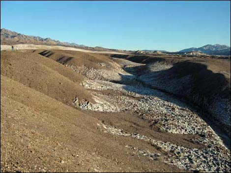 Eroded canyon with salt gnomes (view E) |
Continuing along the ridges, Gnome's Spring eventually can be seen in the canyons below on the north side of the ridge. A bit of winding around brings hikers to the spring (Wpt. 03). while the single, stumpy date palm tree is little to see, it is a good place to turn back and follow down the drainage. Hiking down the colorful drainage, and again passing under the telephone wires (Wpt. 05), hikers will shortly arrive at the mouth of the canyon (Wpt. 05). Here, the roadway is visible, and hikers can turn left (south) to return to the trailhead. |
 Salt flats (view E) Salt flats (view E) |
 Salt crust (view E) |
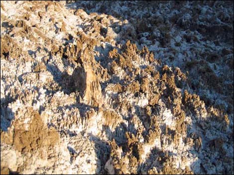 Salt gnomes |
 Hiking on a low ridge (view E) |
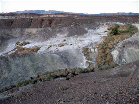
 Salty creek (view SW from ridge) |
 Carved stone |
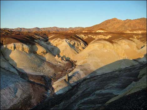 Eroded yellow hills (view E) |
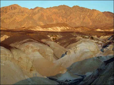 Eroded yellow hills near sunset (view E) |
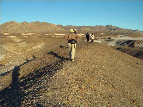
 Hikers on ridge (view W; looking back) |
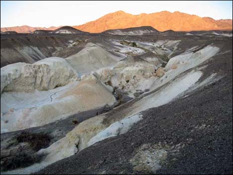 Eroded yellow hills near sunset (view E) |
 Gnome Spring in the distance (view NE) |
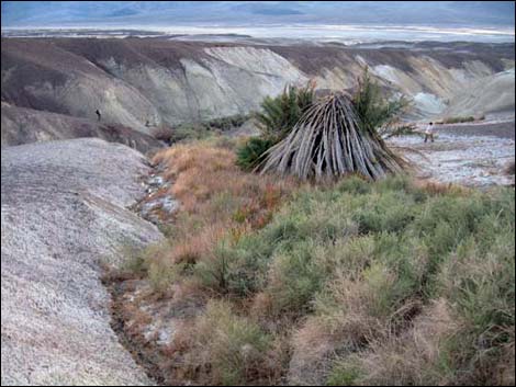 Date Palm at Gnome Spring (view E) |
 Descending canyon below Gnome Spring (view W) |
 Canyon below Gnome Spring (view E; looking back up stream) |
Table 1. Highway Coordinates based on GPS Data (NAD27; UTM Zone 11S). Download highway GPS waypoints (*.gpx) file.
| Site | Location | UTM Easting | UTM Northing | Latitude (N) | Longitude (W) | Elevation (ft) | Verified |
|---|---|---|---|---|---|---|---|
| 0712 | Furnace Creek Visitor Center | 512035 | 4034922 | 36.46130 | 116.86568 | -186 | Yes |
| 1538 | Gnomes Workshop Trailhead | 511662 | 4038289 | 36.49166 | 116.86980 | -167 | GPS |
Table 2. Hiking Coordinates and Distances based on GPS Data (NAD27; UTM Zone 11S). Download hiking GPS waypoints (*.gpx) file.
| Wpt. | Location | UTM Easting | UTM Northing | Elevation (ft) | Point-to-Point Distance (mi) | Cumulative Distance (mi) | Verified |
|---|---|---|---|---|---|---|---|
| 01 | Trailhead | 511663 | 4038287 | -168 | 0.00 | 0.00 | GPS |
| 02 | Telephone Wires | 512278 | 4038242 | -33 | 0.46 | 0.46 | GPS |
| 03 | Gnome Spring | 513162 | 4038489 | 139 | 0.77 | 1.23 | GPS |
| 04 | Telephone Wires | 512229 | 4038394 | -89 | 0.63 | 1.86 | GPS |
| 05 | Exit Canyon | 511687 | 4038375 | -162 | 0.34 | 2.20 | GPS |
| 01 | Trailhead | 511663 | 4038287 | -168 | 0.09 | 2.29 | GPS |
Happy Hiking! All distances, elevations, and other facts are approximate.
![]() ; Last updated 230922
; Last updated 230922
| Death Valley | Hiking Around Las Vegas | Glossary | Copyright, Conditions, Disclaimer | Home |