Backroads Around Las Vegas, Desert National Wildlife Refuge
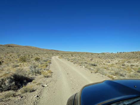
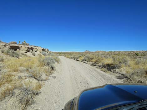
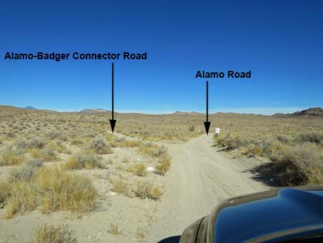 Alamo Road approaching Alamo-Badger Connector (view N) |
Note: During closures at Pahranagat, this was the required detour, but the main road is open now. Overview Alamo-Badger Connector Road is a short (2.3 miles) road that connects Alamo Road to the south with Badger Valley Road to the north. This road is graded from time to time and usually is suitable for high-clearance vehicles. After storms, however, the road can be washed in many places. Link to map. |
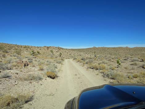
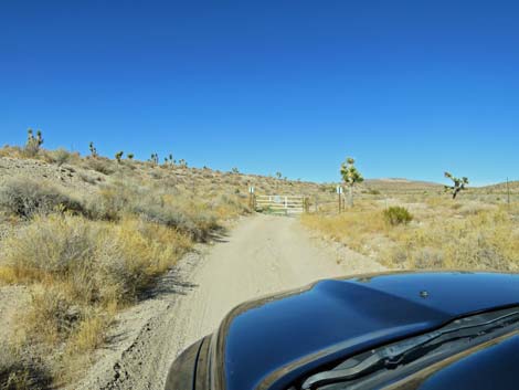
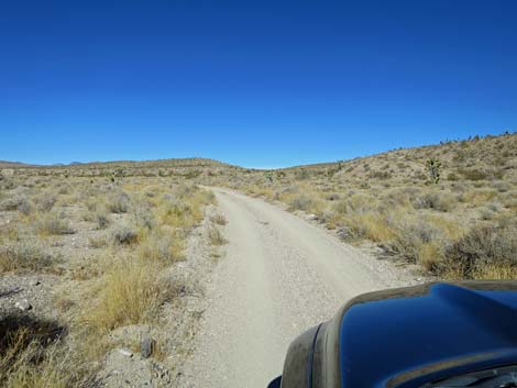
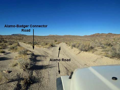 Alamo Road at connector road to Badger Valley Road (view N) |
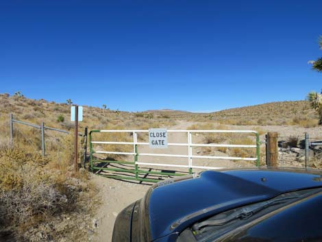
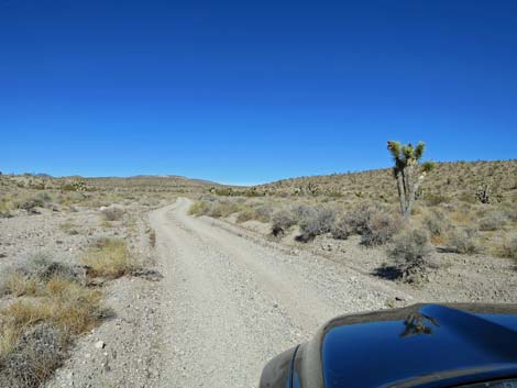
The Road From the intersection with Alamo Road (Table 1, Site 0493), Alamo-Badger Connector Road forks to the left and heads north. The road quickly passes an intersection to the right that leads back to Alamo Road (this is a big triangular intersection). The road climbs gently to the northwest until curving right and dropping into a wash. The road follows the wash heading generally north. At about 1.9 miles out, the road encounters a closed gate. Open, pass through, and close the gate behind you. At about 2.3 miles out, Alamo-Badger Connector Road arrives at a fork. This is another triangular intersection (Site 0872). Stay right onto Badger Valley Road to drive up over a saddle (Site 0893) and down to Highway 93 (Site 0871). Otherwise, stay left onto Badger Valley Road to drive out into Badger Valley where many adventures await. Tikaboo Peak and the Shooting Gallery both lie in that direction. |
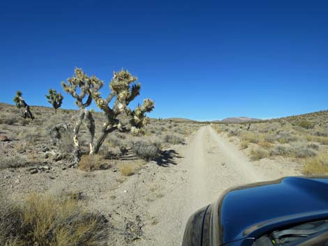
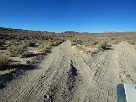 Badger Valley connector road (view N from Alamo Road) |
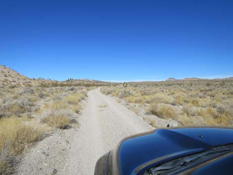
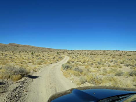 Badger Valley connector road (view N) |
 |
 |
 |
 |
 |
 |
 |
 |
 |
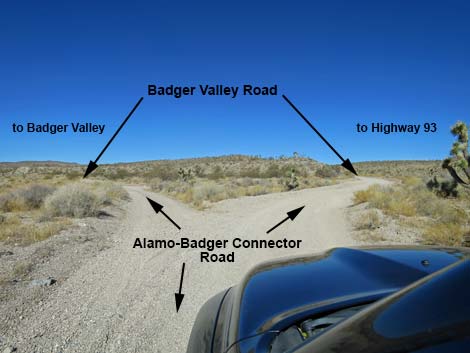 |
Table 1. Highway Coordinates based on GPS Data (NAD27; UTM Zone 11S). Download Highway GPS Waypoints (gpx) file.
| Site | Location | UTM Easting | UTM Northing | Latitude (N) | Longitude (W) | Elevation (ft) |
|---|---|---|---|---|---|---|
| 0493 | Alamo Rd at Alamo-Badger Connector Rd | 661202 | 4115981 | 37.17820 | 115.18413 | 4,123 |
| 0871 | Badger Valley Road at Highway 93 | 666809 | 4127433 | 37.28039 | 115.11845 | 3,326 |
| 0872 | Badger Valley Road at Alamo Road Connector | 660236 | 4119168 | 37.20707 | 115.19433 | 4,345 |
| 0893 | Badger Valley Road at Saddle | 660094 | 4121431 | 37.22749 | 115.19545 | 4,607 |
Happy Hiking! All distances, elevations, and other facts are approximate.
![]() ; Last updated 240324
; Last updated 240324
| Backroads Around DNWR | Hiking Around Las Vegas | Glossary | Copyright, Conditions, Disclaimer | Home |