Hiking Around Las Vegas, Lake Mead NRA
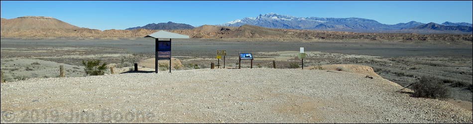
 St. Thomas Townsite Trailhead parking (view E) |
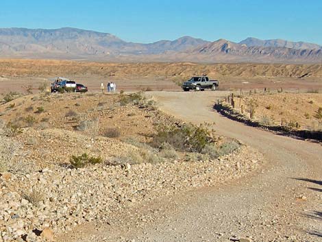
St. Thomas Townsite Trailhead is located 46 miles out Northshore Road (a few yards before the north entrance station in Lake Mead National Recreation Area, about 1.5 hours northeast of Las Vegas on the north side of Lake Mead. From town, drive out to Lake Mead. From the intersection of Northshore Road and Lakeshore Road, drive north on Northshore Road for 46 miles. When slowing down on the approach to the North Entrance (fee) Station, watch for a dirt road and a small sign for St. Thomas, on the right. Turn right onto St. Thomas Road, a graded dirt road, and drive northeast for 2.5 miles to a fork. At the fork, the left goes out 350 yards to an outhouse, while the right fork goes 250 yards to the trailhead (Table 1, Site 1408). This trailhead provides access to the St. Thomas Townsite, scenic views, and a quiet place to have a picnic on the tailgate. Link to map. |
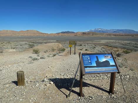
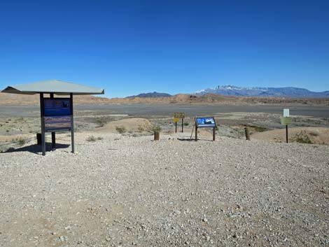 Trailhead signs (view E) |
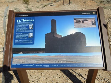
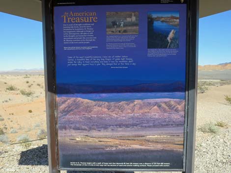 Main 3-sided kiosk sign; An American Treasure (view NE) |
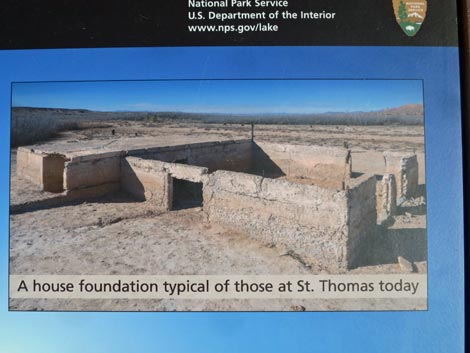
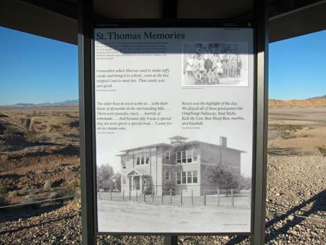 Main 3-sided kiosk sign; St. Thomas Memories (view SE) |
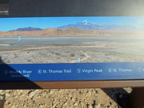
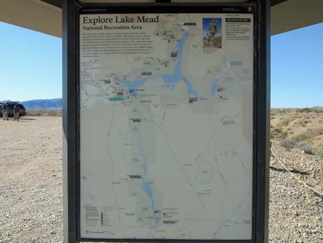 Main 3-sided kiosk sign; Wide-area map (view W) |
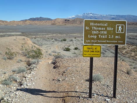 St. Thomas trail sign (view E) |
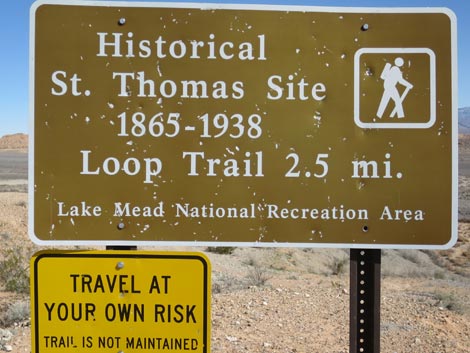 St. Thomas trail sign; close-up (view E) |
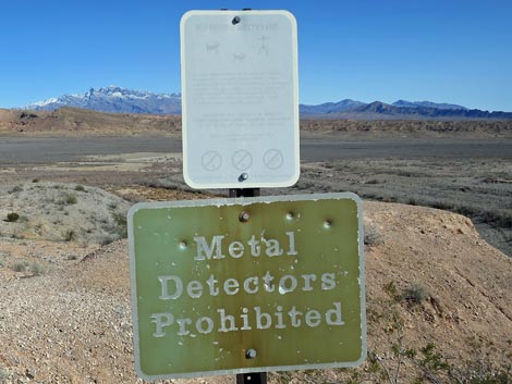 Caution signs: protect our shared history; no metal detectors |
 St. Thomas trailhead sign; close-up (view E) |
 St. Thomas trailhead sign; close-up (view E) |
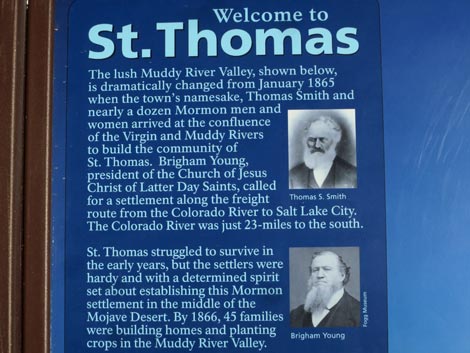 St. Thomas trailhead sign; details (view E) |
 St. Thomas trailhead sign; details (view E) |
 St. Thomas trailhead sign; details (view E) |
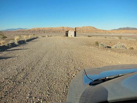 Approaching outhouse (left at the fork; view N) |
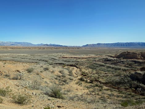 Grand scenery (view E into Gold Butte National Monument |
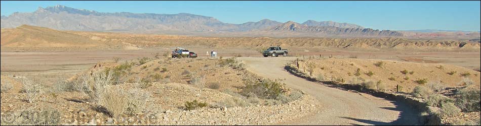
Table 1. Highway Coordinates based on GPS Data (NAD27; UTM Zone 11S). Download Highway GPS Waypoints (gpx) file.
| Site | Location | UTM Easting | UTM Northing | Latitude (N) | Longitude (W) | Elevation (ft) |
|---|---|---|---|---|---|---|
| 1408 | St Thomas Trailhead Parking | 734487 | 4038964 | 36.46910 | 114.38302 | 1,227 |
Happy Hiking! All distances, elevations, and other facts are approximate.
![]() ; Last updated 190222
; Last updated 190222
| Hiking Around Lake Mead | Hiking Around Las Vegas | Glossary | Copyright, Conditions, Disclaimer | Home |