Hiking Around Las Vegas, Mojave National Preserve
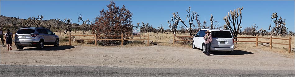
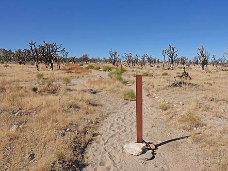
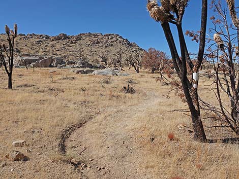
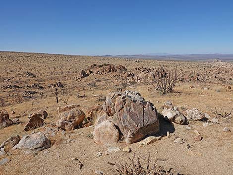
 Teutonia Peak trailhead (view W) |
Overview The Teutonia Peak Trail runs 1.6 miles and climbs about 700 ft from the Cima Road trailhead to Teutonia Peak, the rocky crags on the east side of Cima Dome. The trail runs across a sandy landscape to Teutonia Mine (Dutch Silver Mine: lead, silver, and gold) at the base of the ridge. The trail then steeply climbs onto the rocky ridge, crosses over onto the other side, and heads south to climb into a notch on the ridge between huge summit blocks of Mesozoic granitic. The trail does not actually go to the summit, which is about 0.2 miles farther south, and even the summit blocks above the overlook involve a few feet of 5th-class climbing, but views from the summit could hardly be better than those from the Lunch Overlook area at the end of the trail. In August 2020, the Dome Fire burned 43,273 acres in the Joshua Tree woodland of Cima Dome, including Teutonia Peak and this trail. Hike the trail, mourn the loss of plants and animals, and understand that because of climate change, this area will never come back, at least not as a desert woodland. Link to map. |
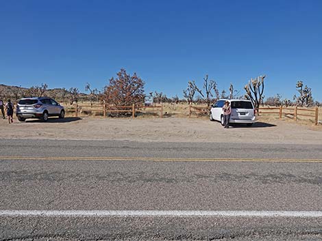
 Teutonia Peak trailhead (view W) |
Watch Out Other than the standard warnings about hiking in the desert, ...this is a pretty safe hike, but be careful on the rocky outcrops at the end of the trail and don't mess with old mines. While hiking, please respect the land and the other people out there, and try to Leave No Trace of your passage. Also, even though this is a short hike, be sure to bring what you need of the 10 Essentials. Getting to the Trailhead This hike is located in Mojave National Preserve, about 2 hours south of Las Vegas. From town, drive south on I-15 into California. Exit onto Cima Road, southbound. Drive south 11.3 miles to Teutonia Peak Trailhead, a pullout on the west (right) side of the road. Park here; this is the trailhead. |
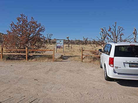
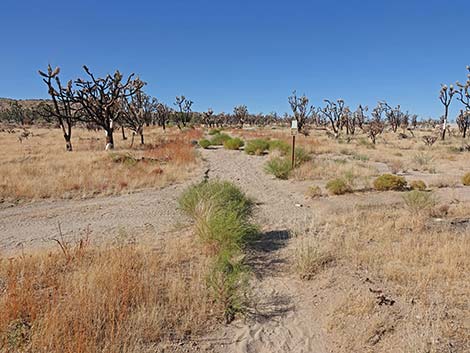
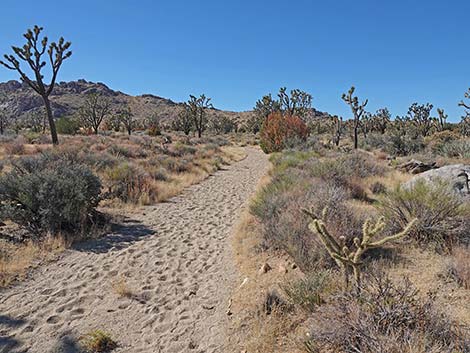
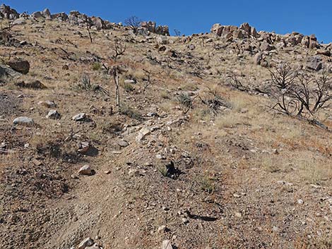
 Start of Teutonia Peak trail (view W) |
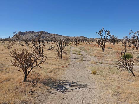
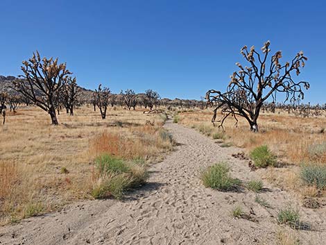
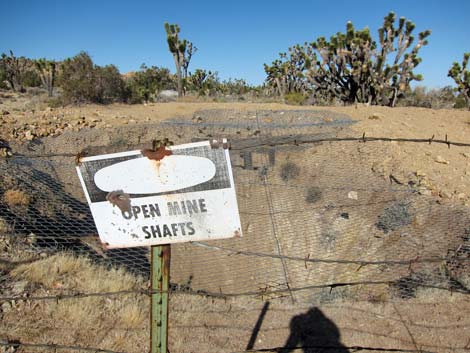
The Hike From the trailhead (Table 1, Waypoint 01), the Teutonia Peak Trail runs southwest and up the gently sloping desert flats towards the rocky ridge on the skyline, but a considerable distance north of the summit. The trail runs out old sandy roads through an area densely vegetated with Joshua Trees and lots of blackbrush, Mormon tea, cholla, yucca, Bitterbrush, and buckwheat. There are some nice boulder piles and sheets of bedrock along this part of the trail. Most of this burned. At about 0.47 miles out, the trail crosses a dirt road (Wpt. 02). Continuing southwest another 0.47 miles, the trail intersects a closed road (Wpt. 03) at the edge of the Teutonia Mine area. The trail turns right onto the old road, then quickly turns off (Wpt. 04) and resumes the southwesterly direction. As always, mines are interesting, but don't climb over the fences to get a better view, as the shaft looks particularly deep and dangerous. |
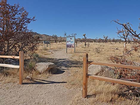
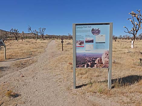 Trailhead information sign (view W) |
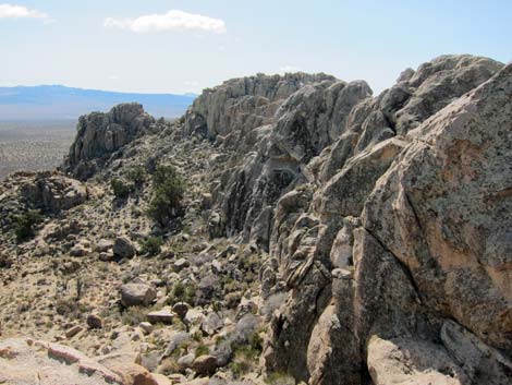
Continuing west towards the ridge, the trail quickly passes another old road (Wpt. 05) and starts up the side of the ridge. The trail here is fairly steep, but there are several switchbacks, and the ridgeline isn't far off (only about 0.25 miles and 190 vertical feet). At the crest of the ridge (Wpt. 06), the trail crosses onto the west side and gives some great views of Cima Dome, which is the skyline to the west. Before crossing over the ridge, consider walking north a few yards to a rocky knob that provides nice views. Continuing, the trail runs south for about 0.2 miles on the west side of the ridge to a nice rocky outcrop (Wpt. 07) with perhaps the best view on the mountain of Cima Dome. From there, the trail steeply climbs (with some multiple trailing) back onto the ridgeline at a notch in the crags (First Notch; Wpt. 08) with nice views to the east. For hikers aiming for the true summit, continue through the notch onto the east-facing slopes and continue south. |
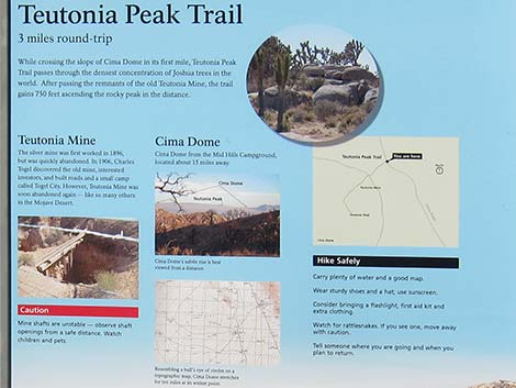 Teutonia trail information (view W) |
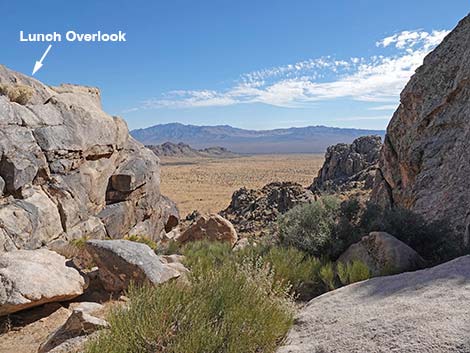
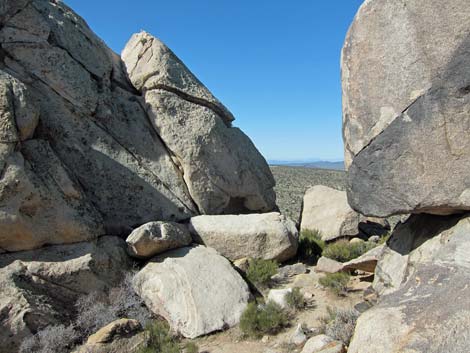
For hikers following the trail, back out of the notch onto the west side of the ridge and continue a few yards south into the Second Notch (Wpt. 09). At this point, the official trail ends in a notch between two huge blocks of Mesozoic granite. This is the end of the trail, as it would require 5th-class climbing to get atop the granite blocks on both sides of Second Notch. A ledge on the northern (left) block, requiring a fairly safe 10-foot-high climb, gives great views back towards the trailhead and all points east. This is a great place for a picnic lunch on a warm, sunny day. Return to the trailhead by following your footprints in the trail dust back down the trailhead. |
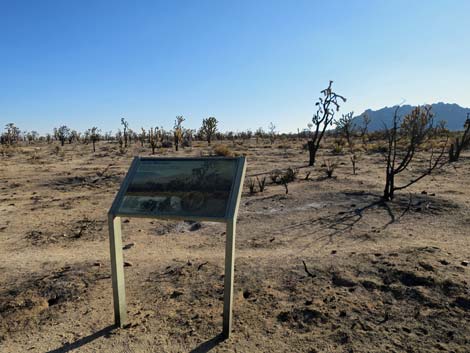 Natural history information sign (view SW) |
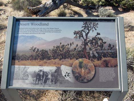 Natural history information sign |
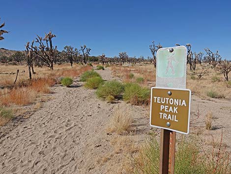
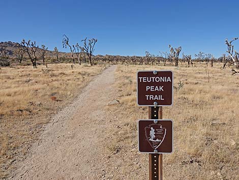 Teutonia Peak trail sign (view W) |
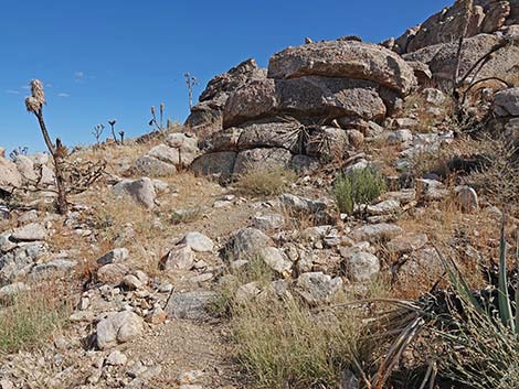
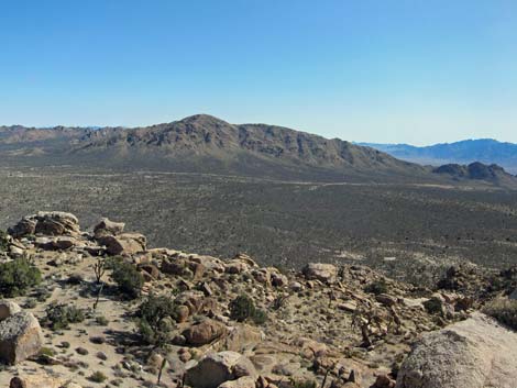
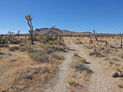 Starting on the trail, Teutonia Peak is visible in the distance (view W) |
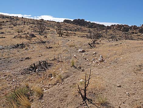
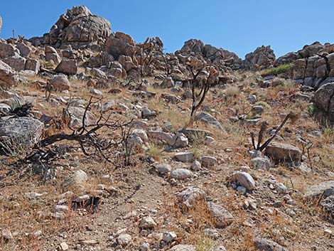
 Most shrubby species died in the fire (view W) |
 Most Joshua Trees died in the fire (view W) |
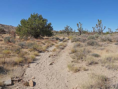
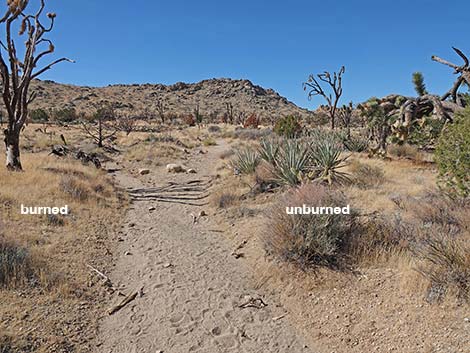
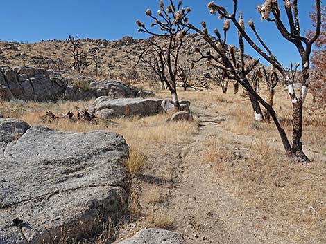
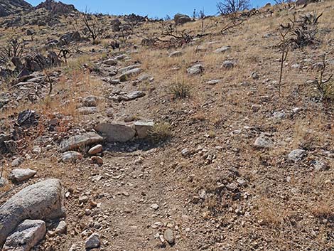
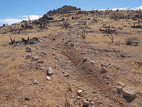
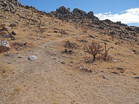
 Trail follows an old two-track road (view SW) |
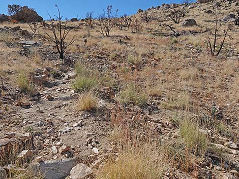
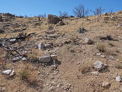
 Parts of the trail washed out during summer monsoon rains |
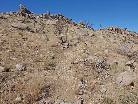
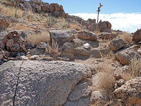
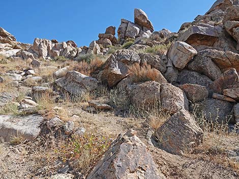
 Rock outcrops and burned Joshua Trees |
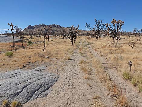
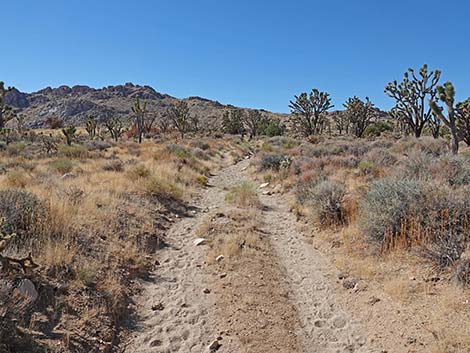
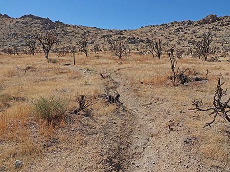
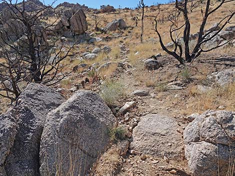
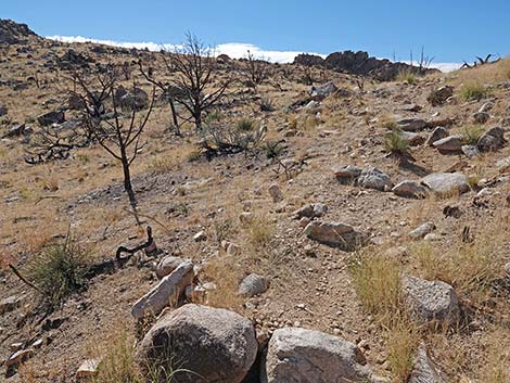
 Crossing gentle desert terrain, but always uphill (view NW) |
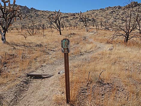
 Trail marker (useful on the return) |
 Trail crosses dirt road (view NW) |
 Trail direction sign beyond dirt road (useful on the ascent) |
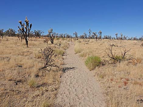
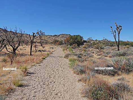
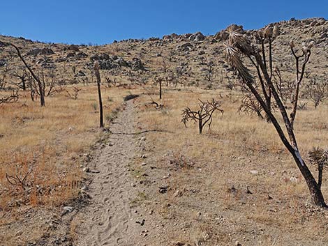
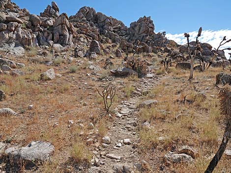
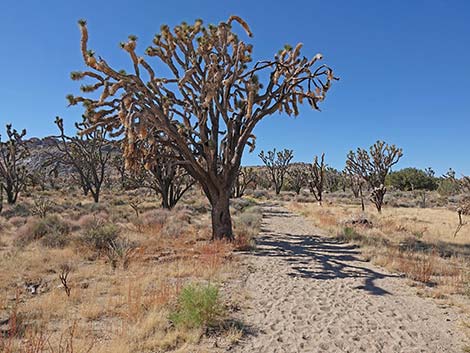 Sandy trail and big, burned Joshua tree (view W) |
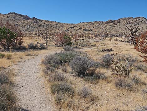
 Part of the area survived the fire (view W) |
 Part of the area survived the fire (view W) |
 Part of the area survived the fire (view W) |
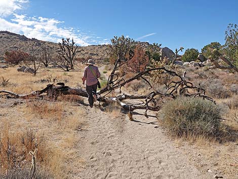 Over the years, lots of Joshua trees will fall on the trail |
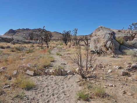
 The trail worked as a fireline (view NW) |
 The trail worked as a fireline (view NW) |
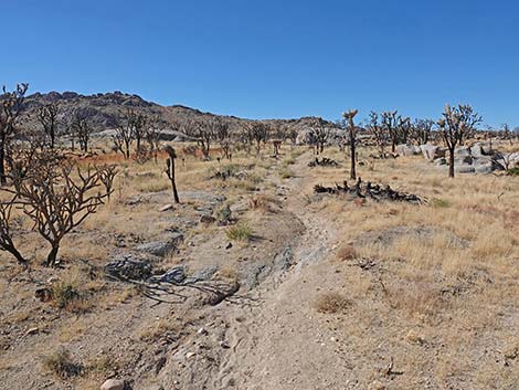
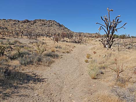
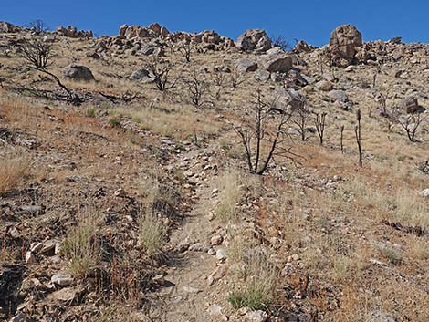
 Back in the burn area (view W) |
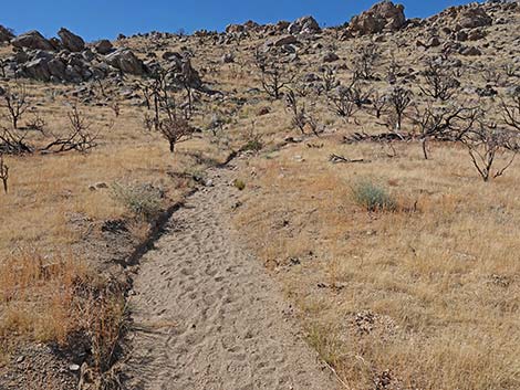
 Nearer the ridge, the trail becomes dirt rather than sand (view NW) |
 Shallow pit or closed mine shaft? (view W from trail) |
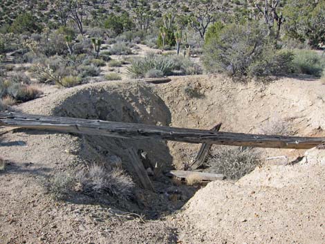 Shallow pit or closed mine shaft? (view W; before the fire) |
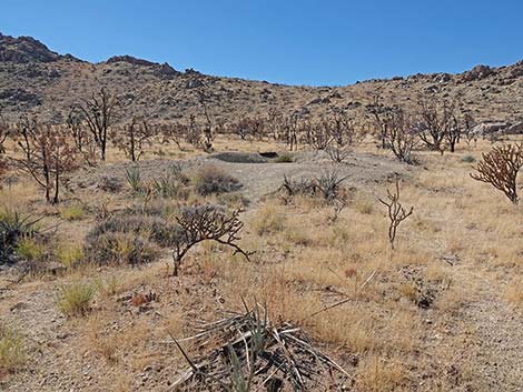
 Long, low berm of pile of mine tailings (view N) |
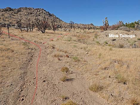 Trail approaching long, low berm of mine tailings (view NW) |
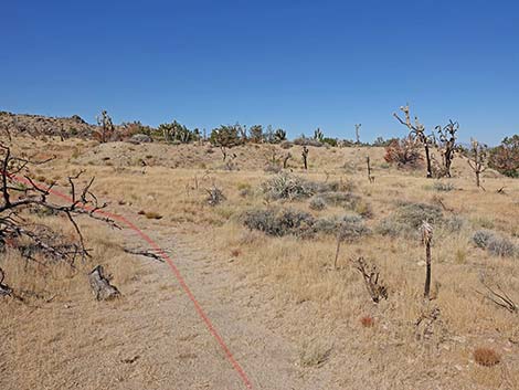
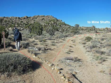
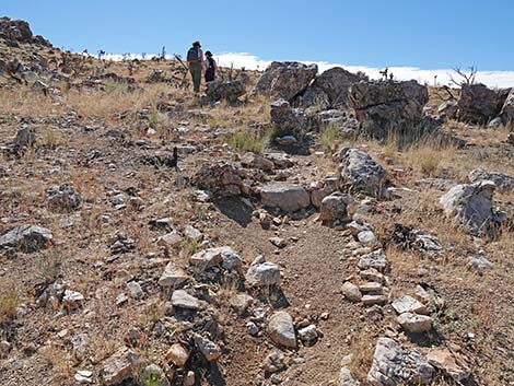
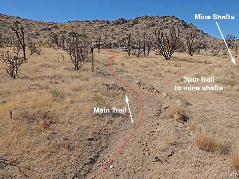 Spur trail to mine area forks right (view NW) |
 Detouring to mining area along old road |
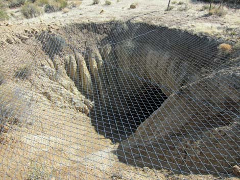
 More mine shafts along old road |
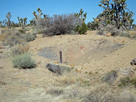
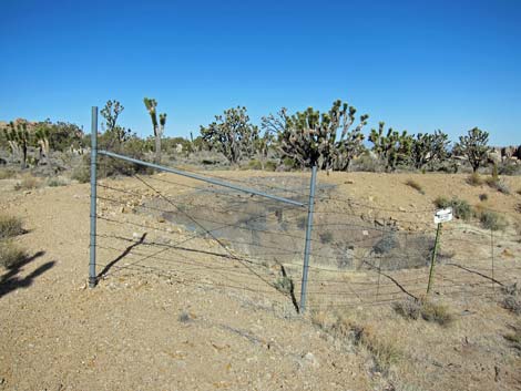 Fenced mine shaft |
 Covered mine shaft (heed the signs!) |
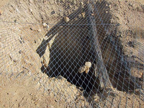 Covered mine shaft |
 Covered mine shaft |
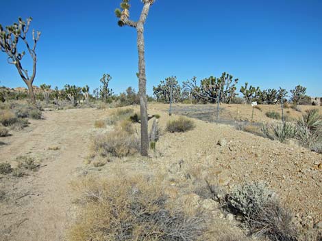
 Hikers back on the main trail (view NW before fire) |
 Teutonia Peak Trail continues past the mining area (view NW) |
 Passing granite outcrops and burned Joshua trees (view NW) |
 Teutonia Peak Trail approaching another trail sign (view W) |
 Another Teutonia Peak Trail sign (view W) |
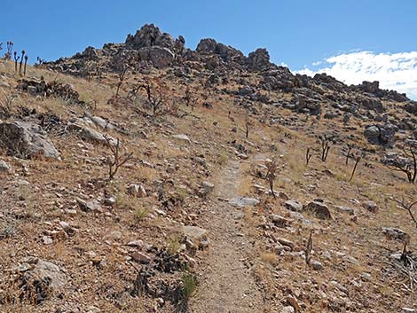
 Teutonia Peak Trail narrows to a single track (view W) |
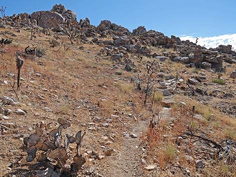
 Teutonia Peak Trail steepens (view W) |
 The trail suddenly starts up onto the steep hillside (view W) |
 The trail climbs steeply onto the rocky hillside (view W) |
 The trail switchbacks to the left (view SW) |
 The trail climbs steeply across the rocky hillside (view SW) |
 The trail switchbacks to the right (view NW) |
 The trail switchbacks to the left (view SW) |
 The trail switchbacks to the right (view NW) |
 The trail switchbacks to the left (view SW) |
 The trail climbs steeply across the rocky hillside (view SW) |
 The trail switchbacks to the right (view NW) |
 The trail switchbacks to the left (view SW) |
 Trail arrives at ridgeline |
 The trail follows the ridgeline towards the summit (view S) |
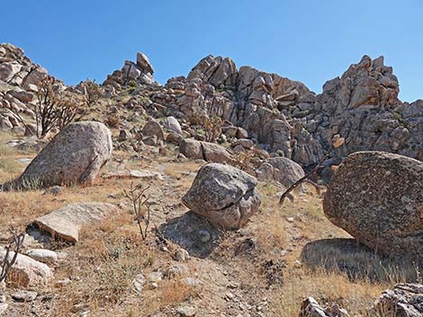
 Hikers and boulders on the ridgeline (view SW) |
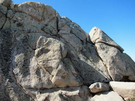
 Rock outcrop on ridgeline (view S) |
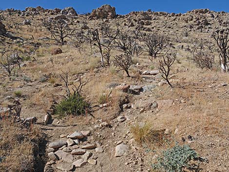
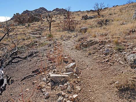
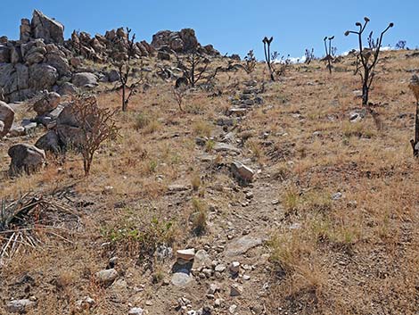
 Stone stairs on a steep section (view S) |
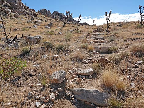
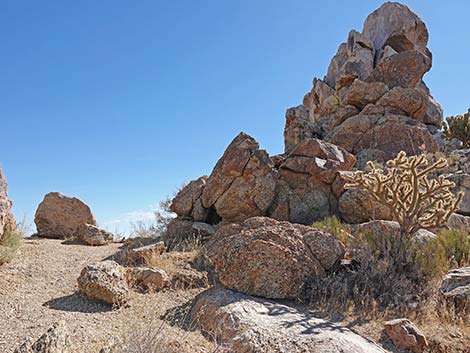
 Teutonia Peak Trail arriving at Cima Dome viewpoint (view S) |
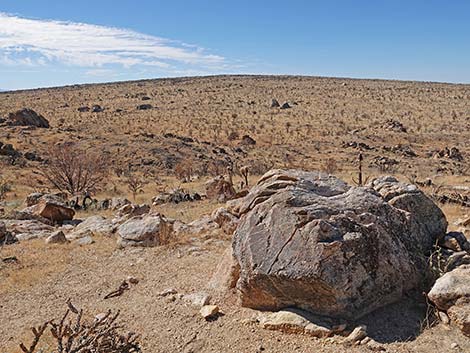 Cima Dome viewpoint (view W towards Cima Dome) |
 Cima Dome viewpoint with grand view (view NW) |
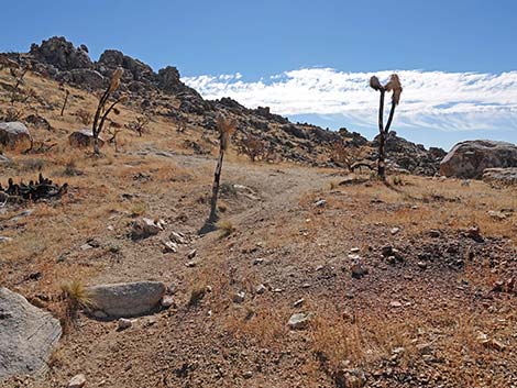
 Beyond Cima Dome viewpoint, the trail steepens |
 The trail climbs up across the hillside (view S) |
 Trail climbs up across the hillside towards summit crags (view S) |
 Close to the summit, the trail becomes steep and rocky (view S) |
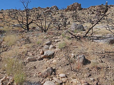
 Steep, rocky trail |
 Steep, rocky trail |
 Steep, not-so-rocky trail |
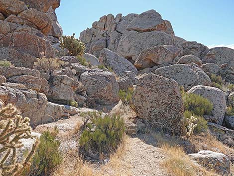
 The trail climbs straight up into the summit crags (view E) |
 Climbing straight up into the summit crags (view E) |
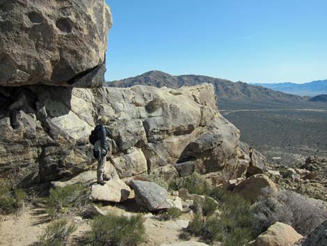
 The trail approaches the ridgeline ("first notch;" view E), but ... |
 ... then turns right below rocky outcrops (view S) |
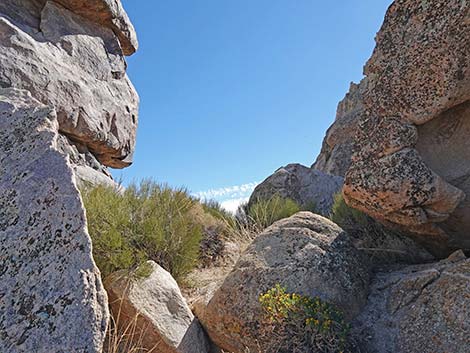 Arriving at Second Notch on summit ridge (view E) |
 Pushing through shrubs onto the Second Notch (view E) |
 Second Notch (end of official trail) (view SE) |
 Low cliff leading to Lunch Overlook (view SE) |
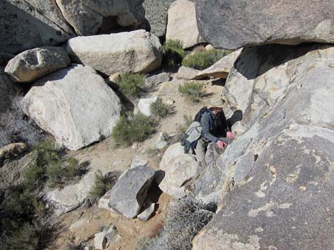
 Hiker in second notch (end of official trail) |
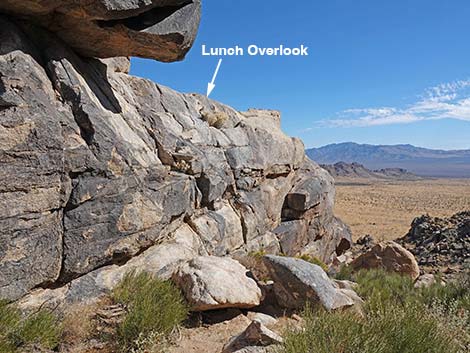
 5th-class climbing required to ascend summit blocks here |
 Looking back: hiker climbing onto lunch overlook (view down) |
 Lunch overlook (view SE before the fire) |
 Lunch overlook (view E; before fire) |
 Lunch overlook (view S towards true summit before the fire) |
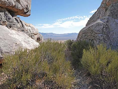
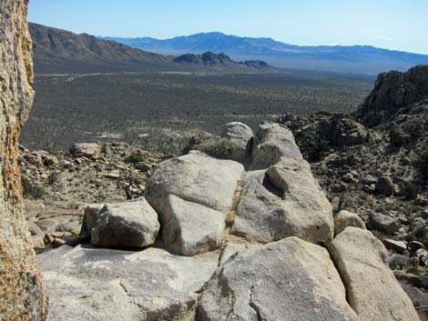
 Second Notch (view NW from Lunch overlook towards Cima Dome) |
 More to come ... |
Table 1. Hiking Coordinates Based on GPS Data (NAD27; UTM Zone 11S). Download Hiking GPS Waypoints (*.gpx) file.
| Wpt. | Location | UTM Easting | UTM Northing | Elevation (ft) | Point-to-Point Distance (mi) | Cumulative Distance (mi) | Verified |
|---|---|---|---|---|---|---|---|
| 01 | Trailhead | 631643 | 3908877 | 4,991 | 0.00 | 0.00 | GPS |
| 02 | Dirt Road | 631095 | 3908416 | 5,067 | 0.47 | 0.47 | GPS |
| 03 | Trail Joins Old Road | 630577 | 3907908 | 5,171 | 0.47 | 0.94 | GPS |
| 04 | Trail Departs Old Road | 630543 | 3907903 | 5,175 | 0.03 | 0.97 | GPS |
| 05 | Trail Crosses Old Road | 630462 | 3907854 | 5,192 | 0.06 | 1.03 | GPS |
| 06 | Ridgeline | 630298 | 3907613 | 5,379 | 0.25 | 1.28 | GPS |
| 07 | Cima Dome View | 630387 | 3907392 | 5,510 | 0.16 | 1.44 | GPS |
| 08 | Notch on Ridgeline | 630556 | 3907245 | 5,668 | 0.17 | 1.61 | GPS |
| 09 | Overlook Below Summit | 630576 | 3907221 | 5,696 | 0.04 | 1.65 | GPS |
| 01 | Trailhead | 631643 | 3908877 | 4,991 | 1.65 | 3.30 | GPS |
Happy Hiking! All distances, elevations, and other facts are approximate.
![]() ; Last updated 240329
; Last updated 240329
| Hiking Around Mojave Preserve | Hiking Around Las Vegas | Glossary | Copyright, Conditions, Disclaimer | Home |