Hiking Around Las Vegas, Mojave National Preserve
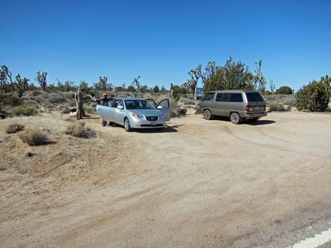
 Approaching the trailhead before the fire (southbound Cima Road) Approaching the trailhead before the fire (southbound Cima Road) |
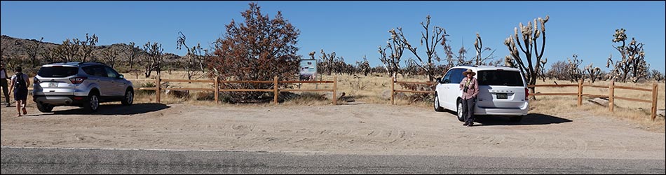
Teutonia Peak Trailhead The Teutonia Peak Trail is a pleasant hike that runs out for about 1.6 miles to an overlook near the summit of Teutonia Peak. The trailhead, which is located along Cima Road in Mojave National Preserve about 2 hours south of Las Vegas, is not well marked on the highway. The trailhead is a dirt parking area big enough for about a dozen vehicles. Information signs are present, but there are no amenities. This trailhead provides access to the Teutonia Peak Trail. Link to trailhead map. |
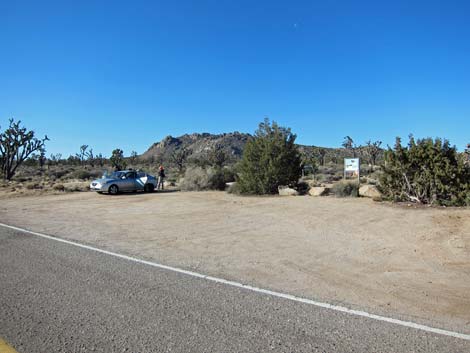 Teutonia Peak trailhead before the fire (view SW) |
Getting to the Trailhead From Las Vegas, drive out to the Mojave National Preserve Visitor Center in Kelso (Table 1, Site 1269). From the Visitor Center, drive northeast on Kelso-Cima Road to Cima (Site 0831). Turn left onto Cima Road and drive north 6.3 miles to a gravel pullout with a sign on the west (left) side of the road (Site 0847). The trailhead is not well marked. Driving north, watch for signs announcing the White Cross World War I Memorial (a memorial on private land for Christian soldiers). Just past the memorial turnoff (on the right), pass a curve-right sign, and watch for trailhead parking on the left. Park here; this is the trailhead. |
 Teutonia Peak trailhead before the fire (view NW) Teutonia Peak trailhead before the fire (view NW) |
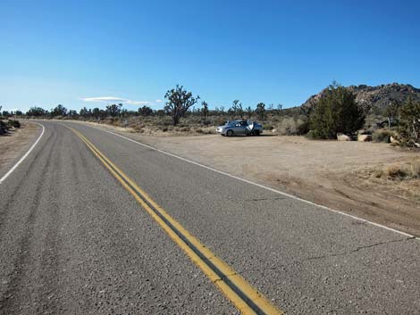
Alternatively, from Interstate-15 at Cima Road (Table 1, Site 0830), turn onto Cima Road and drive south for 11.3 miles to a pullout with a sign on the west (right) side of the road (Site 0847). The trailhead is not well marked. Driving south, watch for White Cross Memorial signs and a curve-left symbol-sign; the trailhead is on the right just over a low rise. Park here; this is the trailhead. |
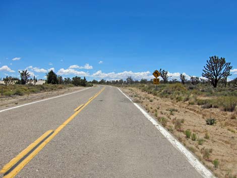
 Northbound before fire; trailhead is on outside of right-hand curve |
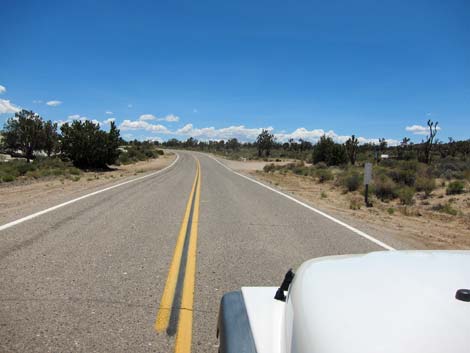
 Northbound before the fire; trailhead on the left |
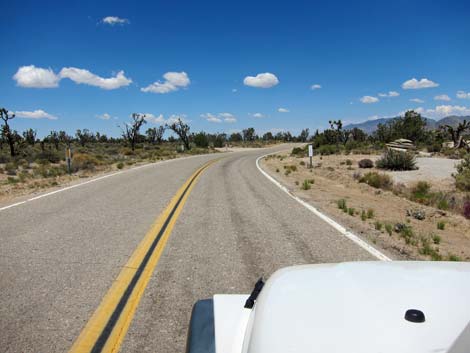
 Southbound before fire; trailhead is over low rise past curve-left sign |
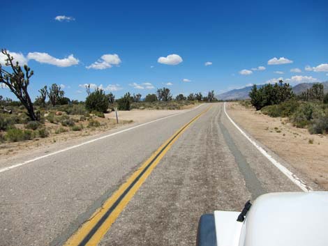
 Southbound before the fire; trailhead on the right |
Table 1. Highway Coordinates based on GPS Data (NAD27; UTM Zone 11S). Download Highway GPS Waypoints (gpx) file.
| Site | Location | UTM Easting | UTM Northing | Latitude (N) | Longitude (W) | Elevation (ft) | Verified |
|---|---|---|---|---|---|---|---|
| 0830 | Hwy I-15 at Cima Rd | 620343 | 3922886 | 35.44395 | 115.67406 | 3,727 | Yes |
| 0831 | Kelso-Cima Rd at Cima | 636500 | 3900110 | 35.23656 | 115.49990 | 4,176 | Yes |
| 0847 | Cima Rd at Teutonia Peak Trailhead | 631655 | 3908873 | 35.31620 | 115.55172 | 5,043 | Yes |
| 1269 | Mojave National Preserve, Kelso Visitor Center | 623057 | 3875069 | 35.01256 | 115.65132 | 2,133 | Map |
Happy Hiking! All distances, elevations, and other facts are approximate.
![]() ; Last updated 240329
; Last updated 240329
| Hiking Around Mojave Preserve | Hiking Around Las Vegas | Glossary | Copyright, Conditions, Disclaimer | Home |