(Lower Bristlecone Trailhead to Bonanza Trail Junction)
Hiking Around Las Vegas, Spring Mountains (Mt. Charleston), Lee Canyon
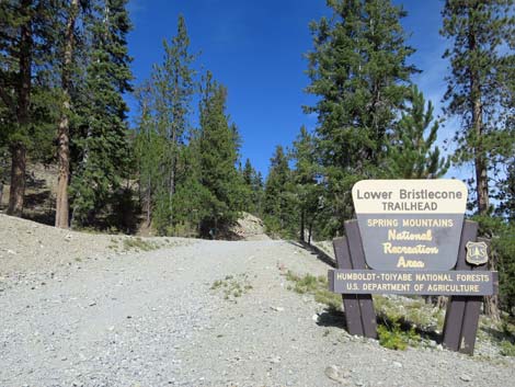
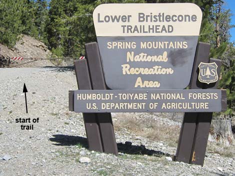 Lower Bristlecone Trailhead sign (view N) |
Overview The Bristlecone Loop Trail is a delightful, moderately strenuous 6-mile hike that can be done in either direction. Starting from the end of Lee Canyon Road (Upper Bristlecone Trailhead) or from near McWilliams Campground (Lower Bristlecone Trailhead), the trail winds around the upper reaches of Lee Canyon passing through Pine-Fir Forests, groves of Quaking Aspen, a Bristlecone Pine forest, and open sunny slopes with big views. There are great views of the surrounding mountain peaks, the ski area, and down Lee Canyon. Hiking the entire loop requires walking about 1 mile on Lee Canyon Road to close the loop, but steep use-trails can be used to short-cut the highway switchbacks. Here, the loop is described in the counter-clockwise direction: hiking from the Lower Trailhead to the Upper Trailhead, then continuing back to the Lower Trailhead. For hiking in the other direction, see Bristlecone Trail Loop (Clockwise). Link to trail map. |
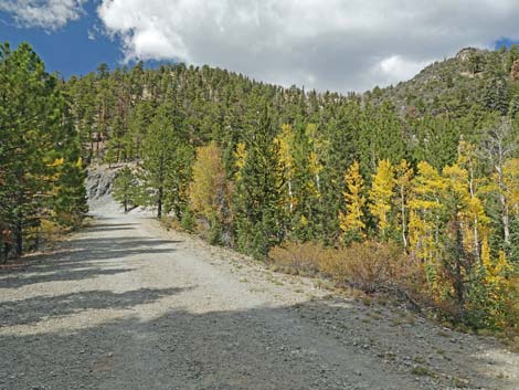
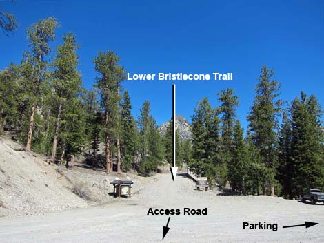 Lower Bristlecone trailhead and parking area (view N) |
All of the higher-elevation conifer species in southern Nevada can be seen on this trail. Ponderosa Pine, White Fir, Bristlecone Pine, and Common Juniper are common, and a few Rocky Mountain Juniper and Limber Pine are mixed in. For people who just want to see Bristlecone Pines, there are several at the upper trailhead, but the twisted ones are on Highpoint Ridge (some twisted Limber Pines too). At the upper trailhead, the second and fourth trees on the right side of the trail are Bristlecone Pines, and from the end of the pavement, several more can be seen a few yards out at eye level. Keep an eye out for Mount Charleston Chipmunks too, they live in the Spring Mountains and nowhere else, but don't confuse them with the more common Golden-mantled Ground Squirrels (tip: look for stripes on the face). The last 1/4-mile of trail is fenced to protect rare plants and the rare butterfly species that feeds only on these plants. The plants only grow here and in a few other places on Mt. Charleston. Please respect the fence, stay on the trail, and help protect our rare species. |
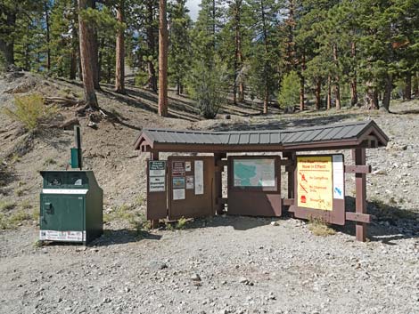 Lower Bristlecone Trailhead information kiosk (view W) |
Watch Out Other than the standard warnings about hiking in the desert, ... this is a relatively safe hike. However, this is the only loop trail located entirely outside the Mt. Charleston Wilderness Area, so it is open to mountain bikes, and hikers need to watch for bikers careening down the trail. There are some rocky spots near the top of the loop where a slip could prove hazardous, but they pass quickly. These areas are especially dangerous during winter when deep snow settles on the steep, north-facing slopes. The trail is moderately strenuous, so take it easy at this elevation if you've just come up from the desert. This hike might be a little long, but otherwise it is fine for kids. While hiking, please respect the land and the other people out there, and try to Leave No Trace of your passage. This hike is fairly long, and weather conditions can change quickly in the mountains, so be sure to bring the 10 Essentials. |
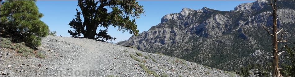
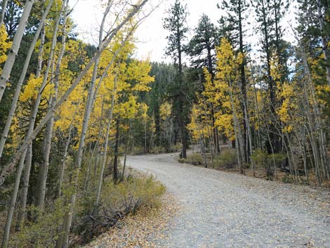
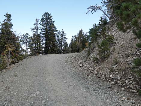
 Start of Lower Bristlecone Trail (view N) |
Getting to the Trailhead The trailhead is located up in the Spring Mountains National Recreation Area (generally referred to as Mt. Charleston) in Lee Canyon, about 50 minutes northwest of Las Vegas. From town, drive north on Highway 95 to Lee Canyon Road. Turn left, then drive west on Lee Canyon Road to the Lower Bristlecone Trailhead or the Upper Bristlecone Trailhead. The upper trailhead is located past the ski area at the very end of Lee Canyon Road. The lower trailhead is located about 1 mile before the end of the road, just before McWilliams Campground. Even though the lower trailhead is about 200 feet lower in elevation, starting the loop hike there might be easier because most of the elevation gain is made on the gentle grade of an old road. Then, when hikers get to the Upper Trailhead, they can walk down the paved road (or take a short-cut down the steep hill below the helicopter landing zone) to the lower trailhead. These trailheads also provide access to Old Bristlecone Trail and Bonanza Trail, which intersect the Bristlecone Trail. |
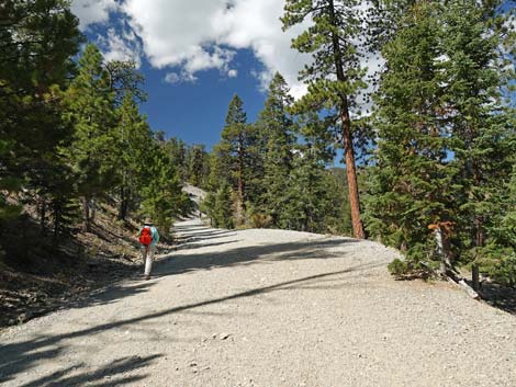
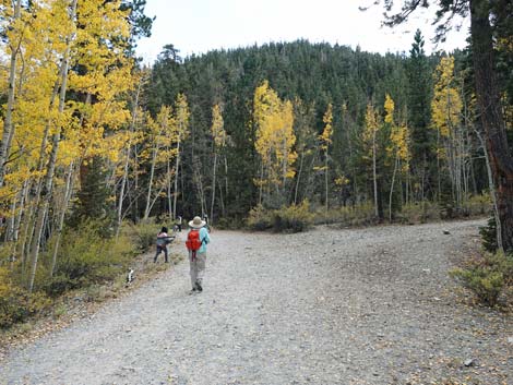
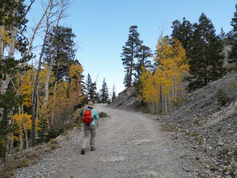
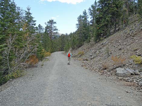
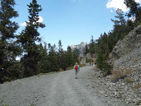
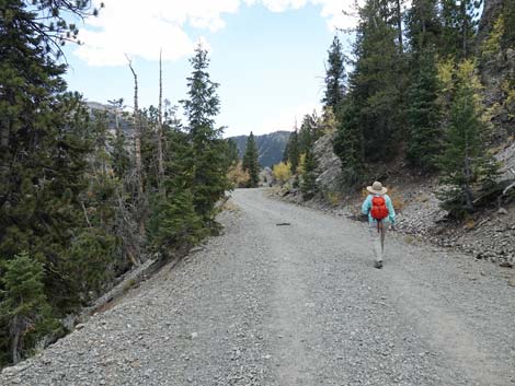
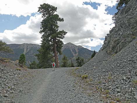
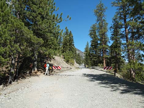 Hiker passing the trailhead gate (view N) |
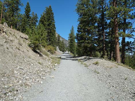
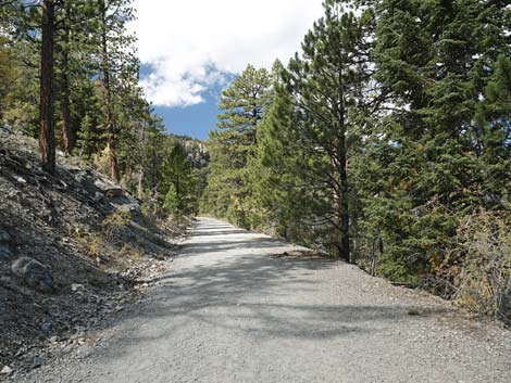
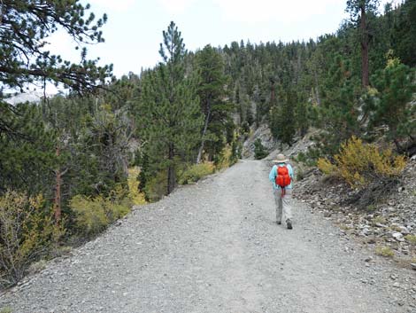
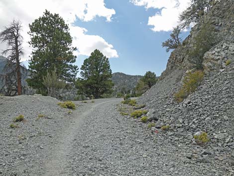
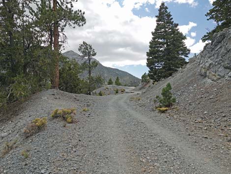
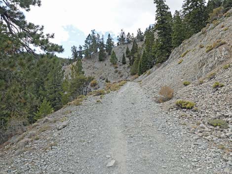
The Hike From Lower Bristlecone Trailhead (Table 1, Waypoint 15), the trail runs north past a gate following the old Scout Canyon Road. The government started building this road in 1940 using men enrolled in the Works Progress Administration (known as the WPA), one of the public works programs that put people to work during the Great Depression. The road was designed as a logging and fire-protection road to run all the way over the mountains and down to Pahrump. They built about 3.3 miles of road, but in 1942, World War II began, and the project was abruptly halted when the workers were reassigned to support the war effort. Scout Canyon Road was never finished, but it remains drivable for emergency vehicles. As such, this entire 2-1/2-mile segment of the Bristlecone Trail runs on a historical roadway. Following Scout Canyon Road, the trail heads north climbing at a gradual, but constant grade into the forest. The trees in this area are well spaced, but Ponderosa Pine and White Fir provide spots of shade. Hikers may experience the sights and sounds of people and wild horses in Lee Meadow below the trail, and the rocky mountains ahead are North and South Sister peaks. |
 Ponderosa Pine along the trail (view N) |
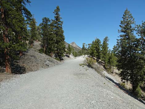
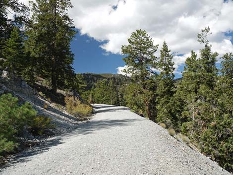
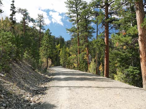
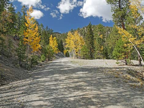
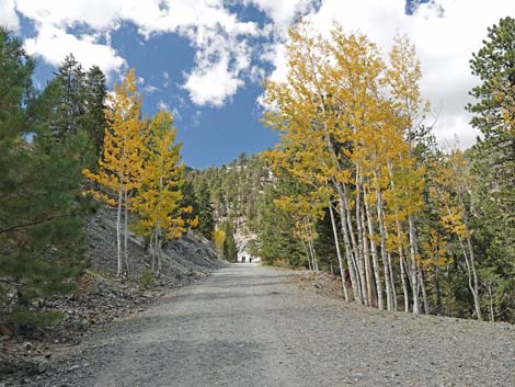
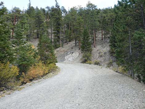
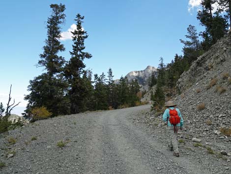
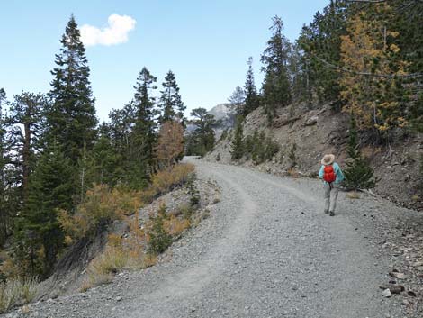
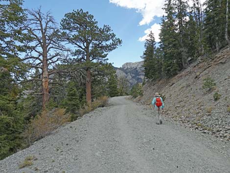
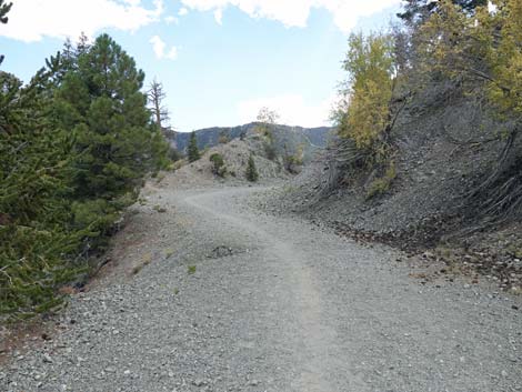
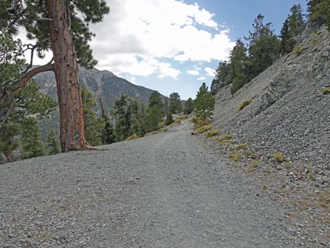
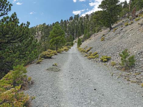
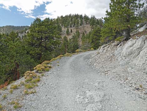
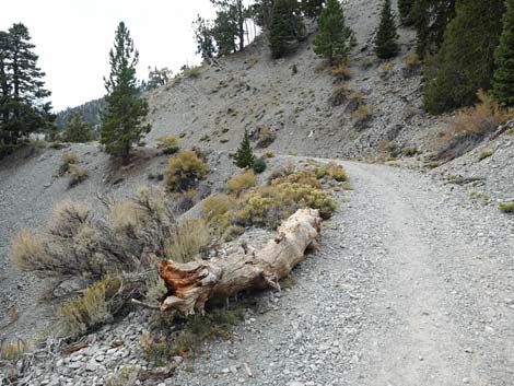
Eventually, the trail bends left to head more westerly into Scout Canyon. Here, hikers may experience the sounds and smells of people in Old Mill Picnic Area below the trail. As the trail rises at a constant grade, the bottom of Scout Canyon comes up faster, and eventually the two meet at an area that was used as a gravel quarry during road construction. Just before the quarry, hikers might notice a 4x4 wooden post on the right. This marks a use-trail that comes up from Old Mill Picnic Area. Just past the quarry, the trail follows the road to the left around a big hairpin turn (Wpt. 14). At the top of the turn, an older road continues a short distance up the bottom of Scout Canyon. There are a lot of Quaking Aspen in this area, and they make beautiful yellow and red colors when the leaves turn in the fall. Now heading generally southeast, the trail continues to climb across the hillside winding in and out of little side canyons. The north-facing slopes create a cool, moist environment where trees grow thick on the slopes, but gaps in the trees provide grand views out across the landscape. |
 |
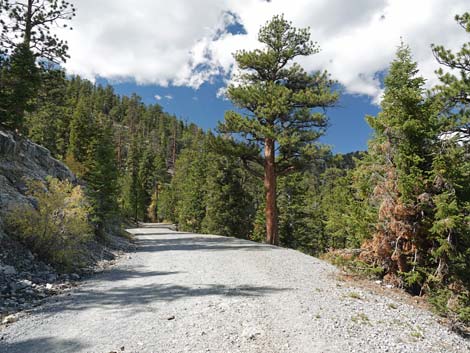
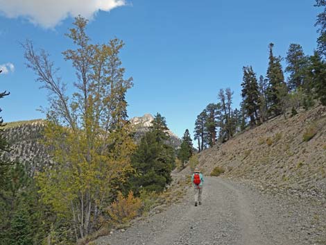
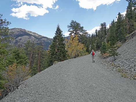
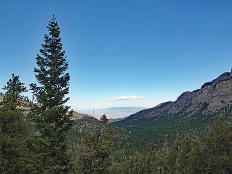
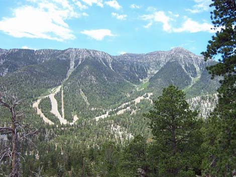
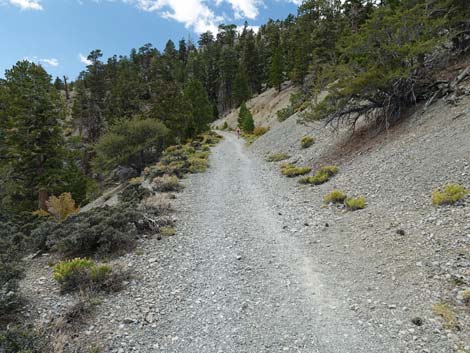
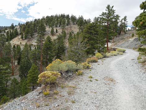
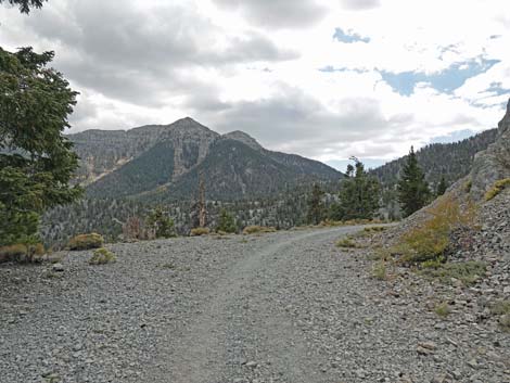
At about 1.98 miles out, the trail turns due south and runs through a large roadcut (Wpt. 13) through the crest of Scout Ridge. A short trail left leads to the top of the peaklet on the left side of the roadcut. Emerging from the confines of the roadcut, hikers suddenly see the grand expanse that is the south side of Lee Canyon stretching from the towering cliffs of Mummy Mountain on the left to the top of Lee Peak on the right. Gashes in the trees in the middle ground towards the right are the ski slopes. Now generally heading southwest along the south side of Scout Ridge, the trail runs in and out of every little side canyon. Compared to the north side of Scout Ridge, the south side catches the full brunt of the sun to create a relatively hot, dry environment where fewer trees and fewer tree species grow. As such, the trees seldom block the view, but nice Ponderosa Pine still provide occasional shade for hikers. |
 The trail runs through a small roadcut (view N) |
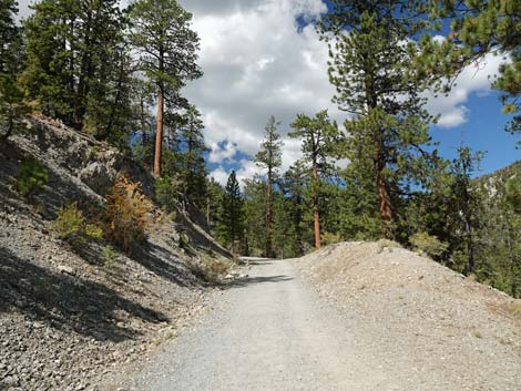
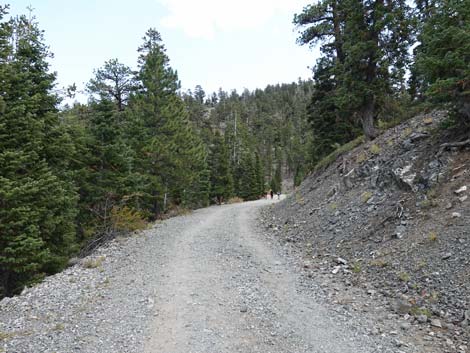
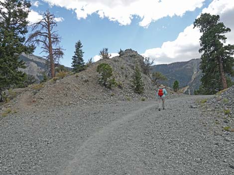
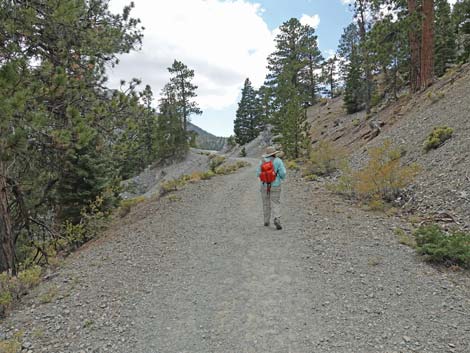
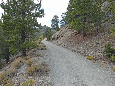
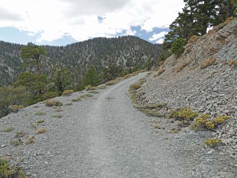
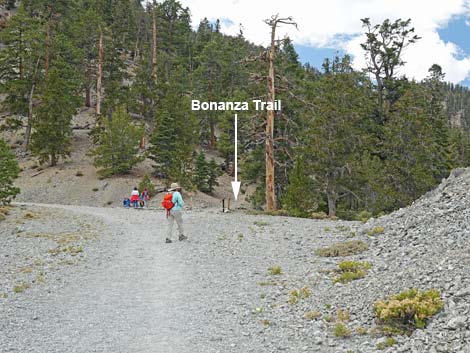
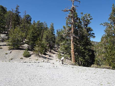
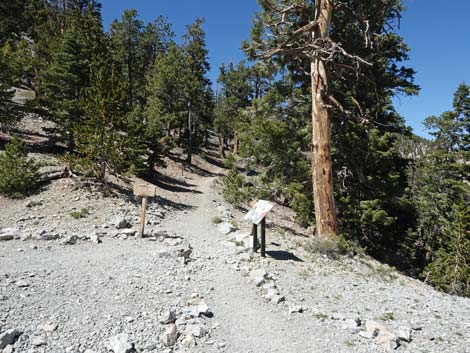
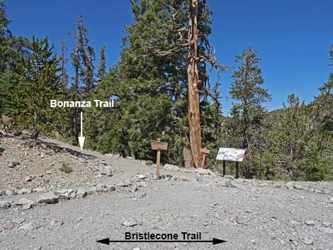
At about 2.96 miles out, the Bristlecone Trail reaches a wide spot in the road where the trail forks (Wpt. 12). The trail junction is marked by two wooden directional signs and an information sign about rare butterflies. Here, the Bonanza Trail forks to the right on a regular forest trail. For details of the rest of the hike, see Bristlecone Trail Loop (Counter-Clockwise, Segment 2). The following is a synopsis of the hike. Continuing, the Bristlecone Loop Trail follows Scout Canyon Road as it bends left still maintaining a gentle grade. At about 3.22 miles out, the road ends (Wpt. 10), but the trail continues as a narrow, winding, dirt trail winding around the upper reaches of McWilliams Canyon. The trail climbs at mostly easy grades to a rocky point (Wpt. 09), which at 9,400 ft, is the highest point on the trail. The trail continues contouring around steep sideslopes in the back of McWilliams Canyon where the trail is narrow, so keep an eye on the kids. Also, the snow lingers in this area, so watch for ice during winter. |
 Exiting the small roadcut (view N towards the Sister Peaks) |
Eventually, the trail contours onto the top of Highpoint Ridge (Wpt. 08; 9,360 ft elevation) with lots of ancient trees, including ancient Bristlecone Pines and what appear to be equally ancient Limber Pine. The Bristlecone Trail (Wpt. 07) descends down Highpoint Ridge until switchbacking to the right into what is now Lee Canyon, then descends across the hillside. The trail eventually reaches Lee Canyon Wash (Wpt. 06) where the Old Bristlecone Trail forks to the right and heads up the canyon. The Bristlecone Trail bends left and starts down Lee Canyon through an open area full of Quaking Aspen. At about 4.73 miles out, hikers pass two switchbacks and an historical spring (Wpt. 04). At about 4.96 miles out, the trail crosses Lee Canyon Wash (Wpt. 03) and forks. The Bristlecone Trail stays left onto the north side of the wash. At an information sign about our endemic butterflies (Wpt. 02), the trail bends to the left and begins heading more directly towards the Upper Bristlecone Trailhead (Wpt. 01; 5.39 miles out). |
 |
 |
 Hiker passing a water control structure (view NW) |
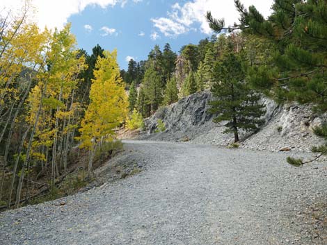
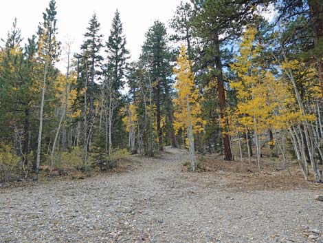
 The trail bends west into Scout Canyon (view NW) |
 |
 |
 |
 |
 The shaded trail runs high above Old Mill Picnic Area (view NW) |
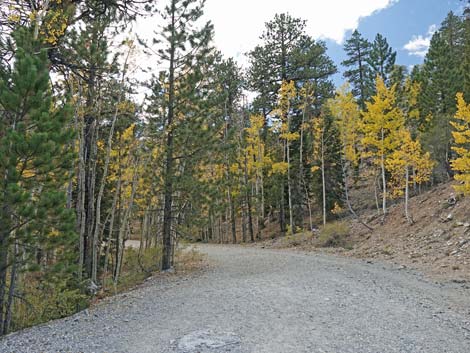
 Hikers encounter the first of the Quaking Aspen (view NW) |
 Lots of colorful Quaking Aspen (view NW) |
 The trail crosses to the north side of Scout Canyon (view NW) |
 Approaching the gravel quarry (view NW) |
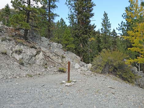 Trail marker to Old Mill Picnic Area (view N) |
 The trail begins a large hairpin turn (view W) |
 Continuing around the hairpin turn (view SW) |
 Hiker approaching a trail junction (view S) |
 And old side-road continues up the bottom of Scout Canyon (view W) |
 The trail, following Scout Canyon Road bends to the left (view SE) |
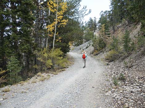
 Contouring up across the sideslope (view SE) |
 |
 |
 |
 |
 |
 |
 |
 |
 |
 |
 |
 |
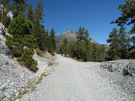
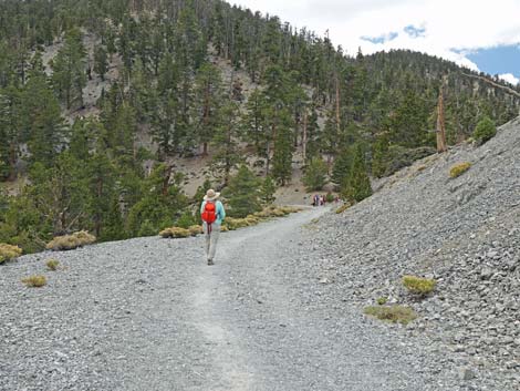
 A grand view down Lee Canyon (view E) |
 The trail approaches the large roadcut (view SE) |
 Hiker walking through the large roadcut (view S) |
 Use-trail leads to the roadcut peaklet (view SE) |
 Hiker exiting the large roadcut (view S) |
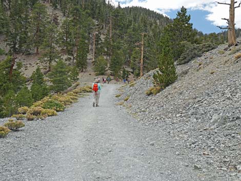
 Big views across Lee Canyon towards ski area (view SW) |
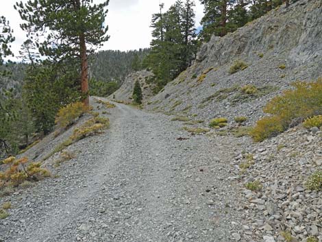
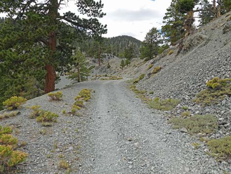
 Scout Canyon Road now continues above Lee Canyon (view W) |
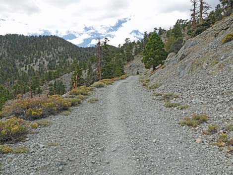
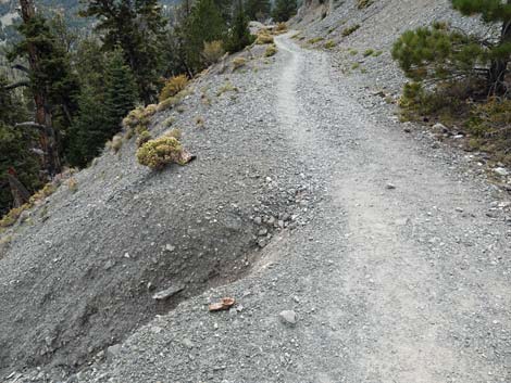 Watch for occasional washouts (view W) |
 Passing another bit of roadcut (view SW) |
 Lots of flowering shrubs along the trail (view W) |
 |
 |
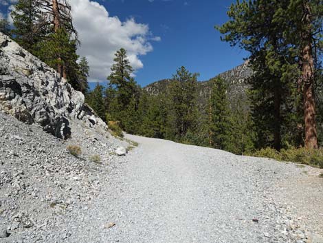
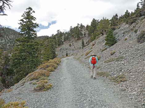
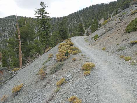
 The trail continues winding up across the hillside (view SW) |
 Watch for occasional washouts (view W) |
 |
 |
 |
 |
 The only sitting log along this trail (view W) |
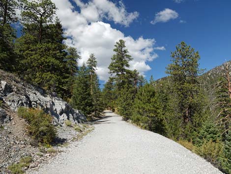
 The trail contours along the hillside (view W toward Lee Peak) |
 |
 |
 |
 |
 |
 |
 |
 |
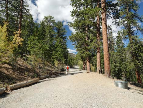
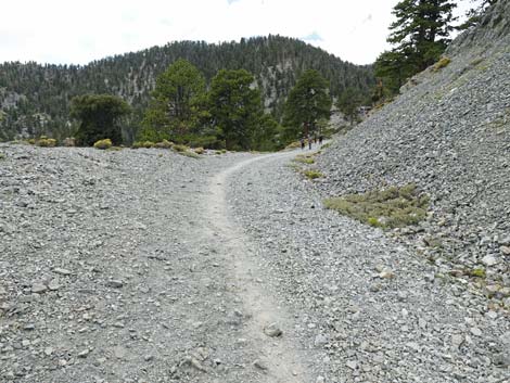
 Hiker approaching Bonanza Trail Junction (view NW) |
 Hiker arriving at Bonanza Trail Junction (view NW) |
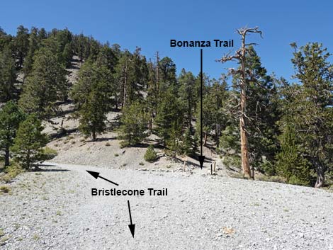 Bristlecone Trail at Bonanza Trail Junction (view NW) |
 Bristlecone Trail at Bonanza Trail Junction (view NW) |
 Bristlecone Trail at Bonanza Trail Junction (view NW) |
 Bristlecone Trail at Bonanza Trail junction (view NE) |
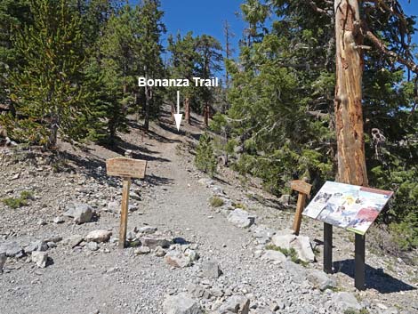 Signs at Bonanza Trail junction (view NE) |
 More to come ... |
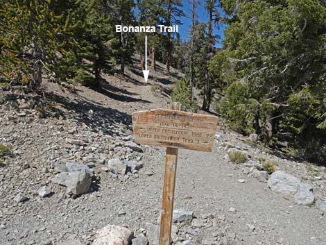 Bristlecone Loop Trail directional sign (view NW) |
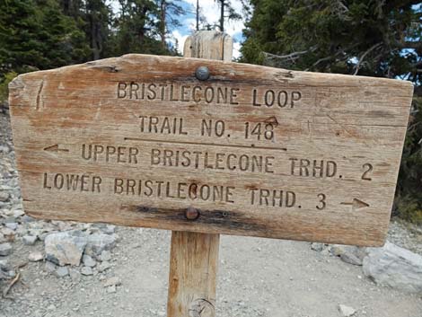 Bristlecone Loop Trail directional sign with distances (view NW) |
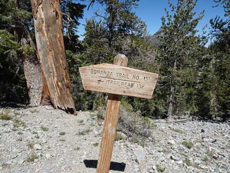 Bonanza Trail directional sign (view N) |
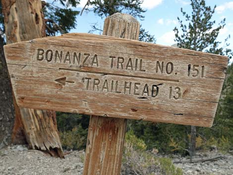 Bonanza Trail directional sign with distances (view NW) |
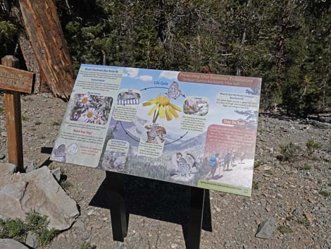 Information sign: Mount Charleston Blue Butterfly (view N) |
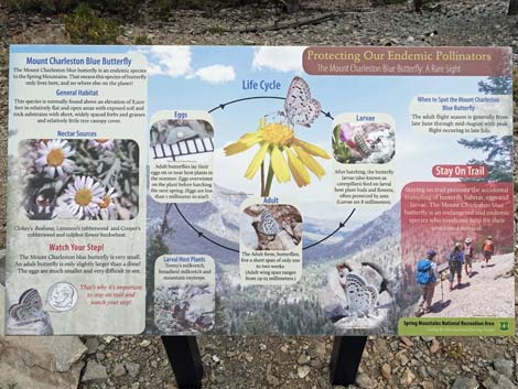 Information sign: Mount Charleston Blue Butterfly (view N) |
Table 1. Hiking Coordinates Based on GPS Data (NAD27; UTM Zone 11S). Download hiking GPS Waypoints (*.gpx) file.
| Wpt. | Location | UTM Easting | UTM Northing | Elevation (ft) | Point-to-Point Distance (mi) | Cumulative Distance (mi) |
|---|---|---|---|---|---|---|
| 15 | Lower Bristlecone Trailhead | 618806 | 4019182 | 8,479 | 0.00 | 0.00 |
| 14 | Scout Canyon Road Hairpin Turn | 617435 | 4019696 | 8,867 | 1.18 | 1.18 |
| 13 | Roadcut | 618381 | 4019418 | 9,075 | 0.80 | 1.98 |
| 12 | Bonanza Trail Junction | 617104 | 4019061 | 9,276 | 0.98 | 2.96 |
| 11 | End of Scout Canyon Road | 616946 | 4018721 | 9,345 | 0.26 | 3.22 |
| 10 | End of Historical Construction | 616935 | 4018663 | 9,347 | 0.04 | 3.26 |
| 09 | Highest Spot on Trail | 617096 | 4018462 | 9,396 | 0.26 | 3.52 |
| 08 | Highpoint Ridge | 617238 | 4018415 | 9,375 | 0.10 | 3.62 |
| 07 | Trail to Highpoint Knob | 617310 | 4018437 | 9,336 | 0.06 | 3.68 |
| 06 | Old Bristlecone Trail Junction | 617575 | 4017766 | 9,102 | 0.66 | 4.34 |
| 05 | Trail to Camps | 617814 | 4017860 | 8,998 | 0.20 | 4.54 |
| 04 | Small Spring | 618063 | 4017976 | 8,895 | 0.23 | 4.77 |
| 03 | Trail to Ski Shack | 618323 | 4018082 | 8,820 | 0.19 | 4.96 |
| 02 | Ski Resort Overlook | 618558 | 4018281 | 8,782 | 0.20 | 5.16 |
| 01 | Upper Bristlecone Trailhead | 618755 | 4018565 | 8,690 | 0.23 | 5.39 |
| . | . | . | . | . | . | . |
| . | Return Via Use-Trails | . | . | . | . | . |
| 01 | Upper Bristlecone Trailhead | 618755 | 4018565 | 8,690 | 0.00 | 5.39 |
| 17 | Use-Trail from Upper Trailhead | 618631 | 4018632 | 8,548 | 0.10 | 5.49 |
| 16 | Access Road | 618829 | 4019054 | 8,468 | 0.32 | 5.81 |
| 15 | Lower Bristlecone Trailhead | 618806 | 4019182 | 8,479 | 0.08 | 5.89 |
| . | . | . | . | . | . | . |
| . | Return Via Lee Canyon Road | . | . | . | . | . |
| 01 | Upper Bristlecone Trailhead | 618755 | 4018565 | 8,690 | 0.00 | 5.39 |
| 17 | Lee Canyon Road | 618631 | 4018632 | 8,548 | 0.54 | 5.93 |
| 16 | Access Road | 618829 | 4019054 | 8,468 | 0.30 | 6.23 |
| 15 | Lower Bristlecone Trailhead | 618806 | 4019182 | 8,479 | 0.08 | 6.31 |
Happy Hiking! All distances, elevations, and other facts are approximate.
![]() ; Last updated 240329
; Last updated 240329
| Hiking Around Mt Charleston | Hiking Around Las Vegas | Glossary | Copyright, Conditions, Disclaimer | Home |