Hiking Around Las Vegas, Spring Mountains (Mt. Charleston), Kyle Canyon Area
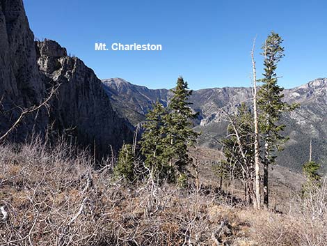 Harris Saddle (view NW towards Mt. Charleston) |
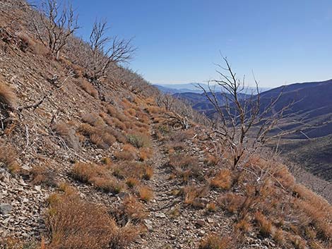
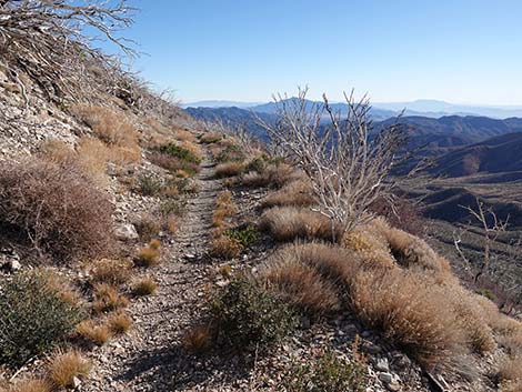
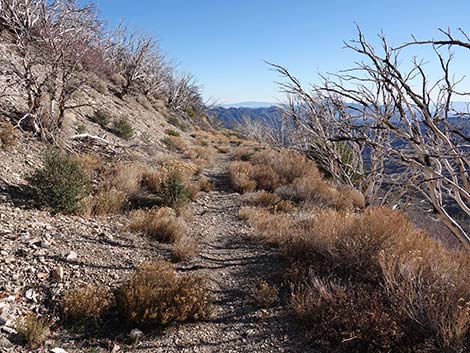
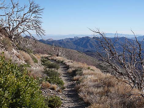
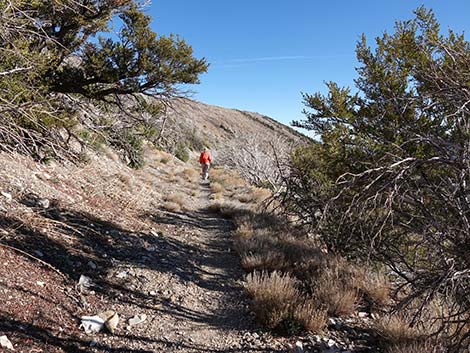
Overview The Harris Saddle Trail is an easy, 2.45-mile (one way) hike climbs about 725 vertical-feet from the Griffith Peak Trailhead to Harris Saddle, the low point on the ridge between Griffith Peak to the west and Harris Mountain to the east. The trail starts at the upper edge of the Pinyon-Juniper Woodland (Upper Sonoran Life Zone) and follows an old road built by the WPA in the 1930s. The old road runs up and across a sunny hillside until it ends abruptly at a washout at the bottom edge of the Pine-Fir Forest (Canadian Life Zone). From there, a steep trail switchbacks up the hillside before continuing on to Harris Saddle, which is in a cool, alpine-feeling Pine-Fir forest with Quaking Aspen. From the saddle, there are great views to the north into Kyle Canyon and south towards Mt. Potosi. Presented here are photos of returning to the trailhead because it always looks different on the way down. For a detailed description of the route, including directions, maps, GPS coordinates, and photos, see Harris Saddle. |
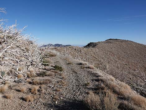
 Departing from Harris Saddle (view E) |
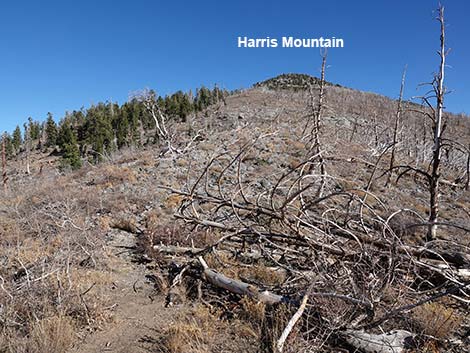
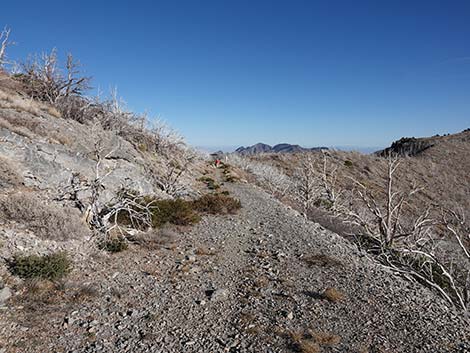
 Summit of Harris Mountain can be seen up the ridge (view E) |
 |
 |
 |
 |
 |
 |
 |
 |
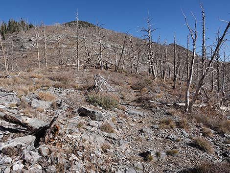
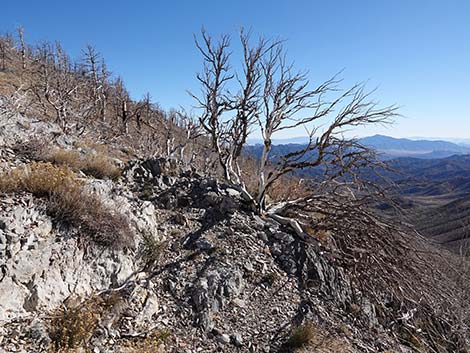
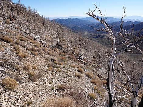
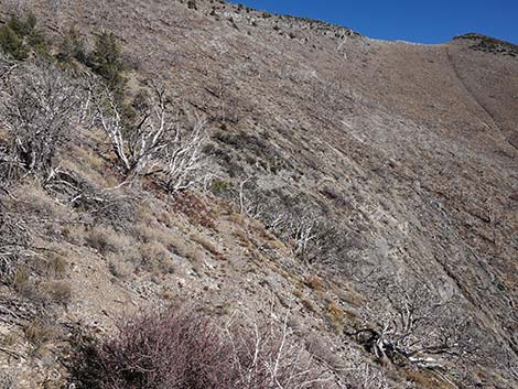 Approaching a patch of trees that survived the fire (view SE) |
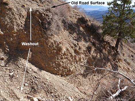
 Passing the upper washout (view S) |
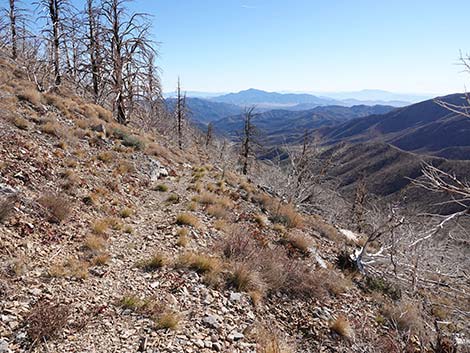
 Grand views down the valley (view S) |
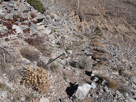
 Passing a drill bit stuck in the rock (view S) |
 Passing another drill bit stuck in the rock (view S) |
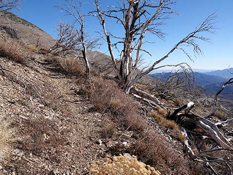
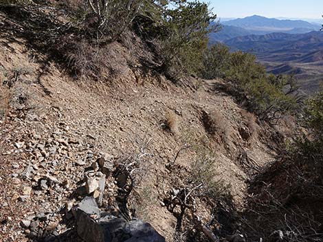
 Trail detours onto bypass (view SE) |
 Trail detours onto bypass; old trail covered with sticks (view SE) Trail detours onto bypass; old trail covered with sticks (view SE) |
 More to come ... |
Staying on Old Road to Look at the Washout
 Continuing on old road past the detour (view SE) |
 Flood debris cover much of the old road (view SE) |
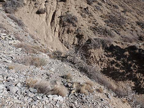
 Floods removed about 15 feet of fill in the gully (view S) |
 Sketchy drop into gully from end of old road (view S) |
Continuing Down the Main Trail Below the Switchbacks
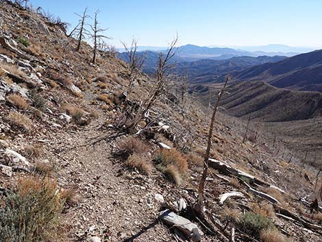
 The trail continues below the bypass (view S) |
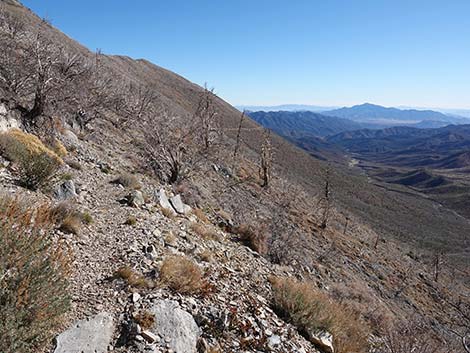
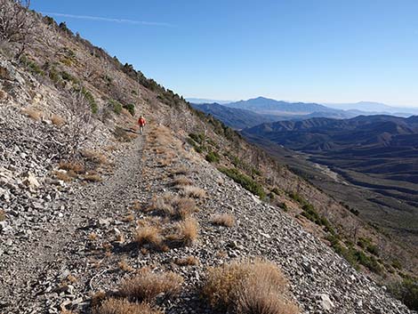
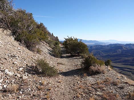
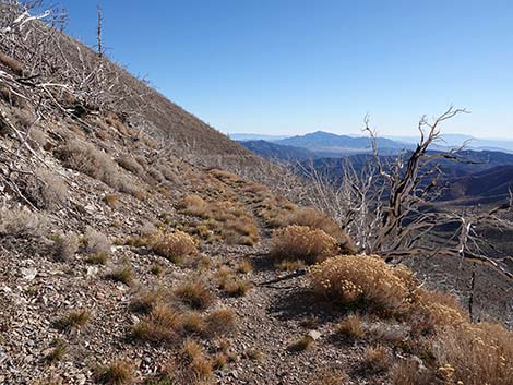 Long views to the south |
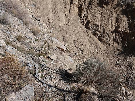
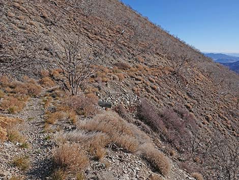
 Approaching a partial washout (view S) |
 Approaching a WPA culvert (view S) |
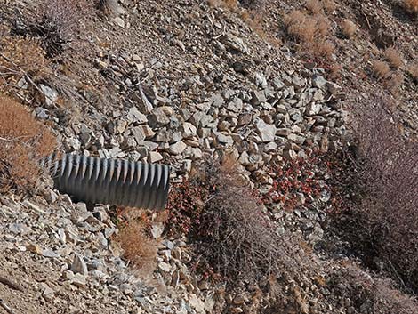 WPA culvert and hand-make rock wall: these guys did good work |
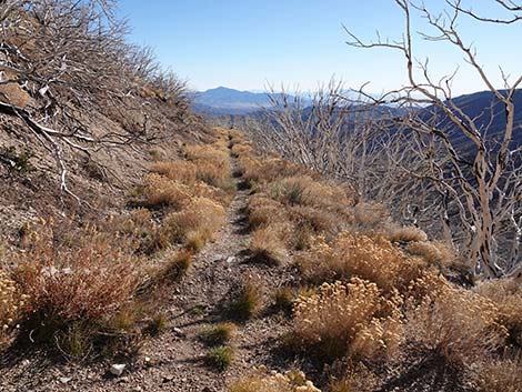
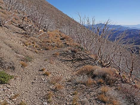
 The trail continues down the old road (view S) |
 |
 |
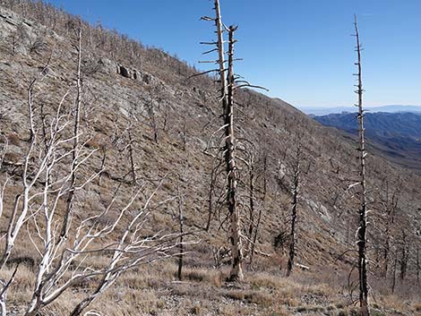
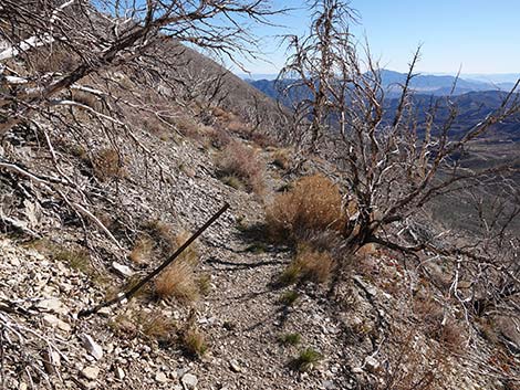
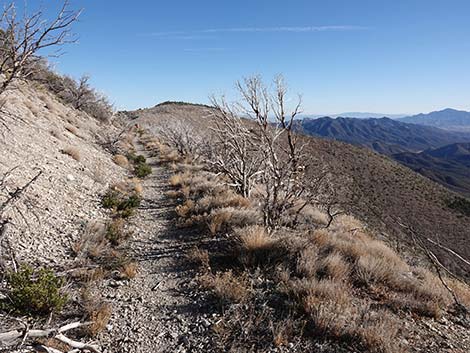
 Lots of burned tree and shrub carcasses remain standing (view SE) |
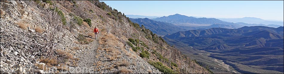
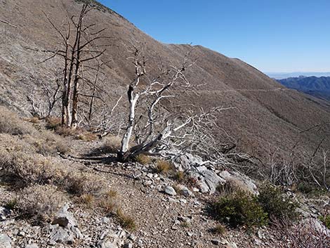
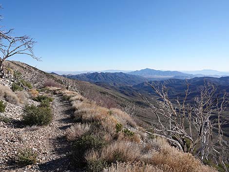 Grand views to the south |
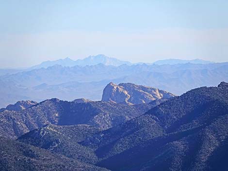 The top of Red Rocks, McCullough Range, and Spirit Mountain |
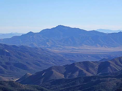 Mt. Potosi |
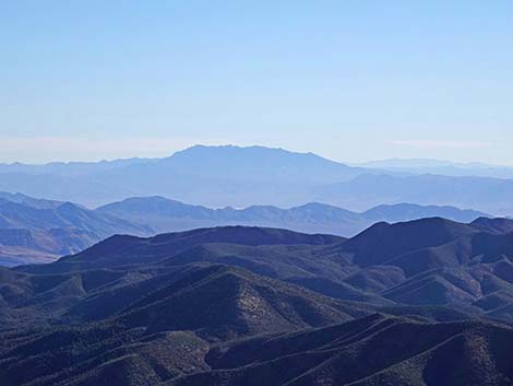 Kingston Range in California |
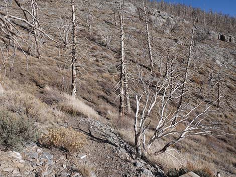
 Hiker passing some Mt. Mahogany that survived the fire (view SE) |
 Hiker on the old road (view SE) |
 More Mt. Mahogany that survived the fire (view S) |
 The trail begins to curve to the left (view SE) |
 The trail curves to the left (view SE) |
 The trailhead comes into view (view SE) |
 Passing the wilderness area boundary sign (view E) |
 Approaching the trailhead (view E) |
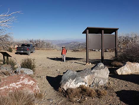 Hiker back at the trailhead (view E) |
Happy Hiking! All distances, elevations, and other facts are approximate.
![]() ; Last updated 240329
; Last updated 240329
| Hiking Around Mt Charleston | Hiking Around Las Vegas | Glossary | Copyright, Conditions, Disclaimer | Home |