Hiking Around Las Vegas, Spring Mountains (Mt. Charleston), Kyle Canyon Area
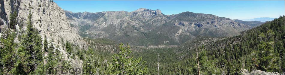
 Griffith Peak Trailhead (view NW) |
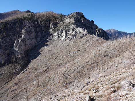
Overview The Harris Saddle Trail is an easy, 2.45-mile (one way) hike climbs about 725 vertical-feet from the Griffith Peak Trailhead to Harris Saddle, the low point on the ridge between Griffith Peak to the west and Harris Mountain to the east. The trail starts at the upper edge of the Pinyon-Juniper Woodland (Upper Sonoran Life Zone) and follows an old road built by the WPA in the 1930s. The old road runs up and across a sunny hillside until it ends abruptly at a washout at the bottom edge of the Pine-Fir Forest (Canadian Life Zone). From there, a steep trail switchbacks up the hillside before continuing on to Harris Saddle, which is in a cool, alpine-feeling Pine-Fir forest with Quaking Aspen. From the saddle, there are great views to the north into Kyle Canyon and south towards Mt. Potosi. Most of the trail offers little shade because the Carpenter 1 Fire burned off almost all of the trees, but during cool weather, this is a great short hike. For a longer trip, hikers can continue west from Harris Saddle to Griffith Peak. Link to map or elevation profile. |
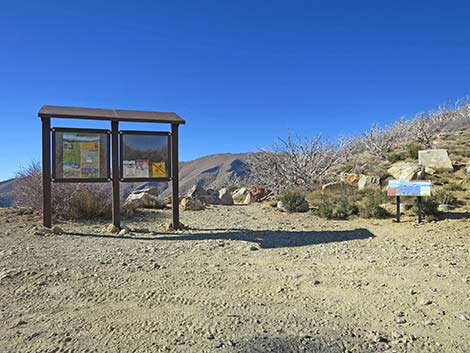
 Griffith Peak Trail starts behind the kiosk sign (view NW) |
Watch Out Other than the standard warnings about hiking in the desert, ... this is a safe hike if you stay on the trail. The first 1.5 miles of the trail are wide and secure (i.e., an old road), but the sidehill below the road is quite steep. The remaining mile of trail presents no unusual hazards. This shadeless trail gets surprisingly hot during warmer weather. Driving up Harris Canyon Road is a bit rough and requires a high-clearance vehicle. While hiking, please respect the land and the other people out there, and try to Leave No Trace of your passage. Also, even though this hike is short, be sure to bring what you need of the 10 Essentials. |
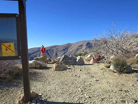
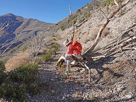
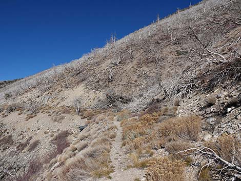
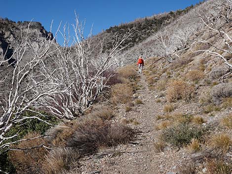
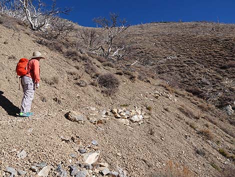
 Hiker starting on the Griffith Peak Trail (view W) |
Getting to the Trailhead This hike is located in the Spring Mountains National Recreation Area (generally called Mt. Charleston) south of Kyle Canyon Road off Harris Springs Road, about 1.5 hours northwest of Las Vegas. From town, drive north on Highway 95 to Kyle Canyon Road. Turn left onto Kyle Canyon Road, then drive west to Harris Springs Road. Turn left onto Harris Springs Road and drive south to Harris Mountain Road. Finally, fork right onto Harris Mountain Road and drive up the mountain to the end of the road at the Griffith Peak Trailhead. |
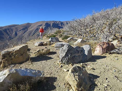
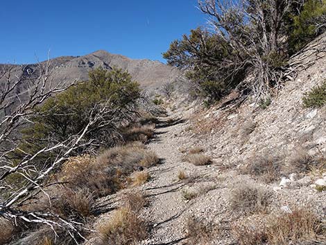
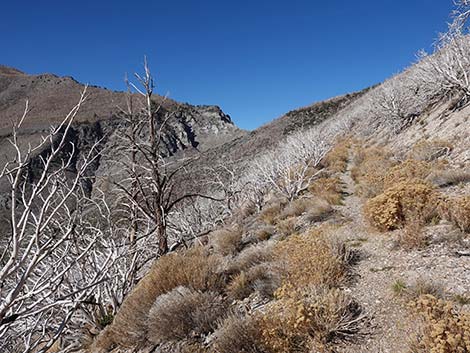
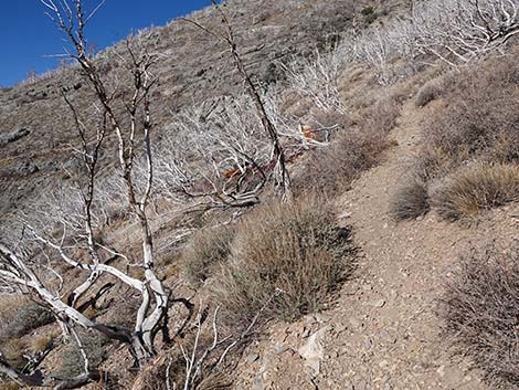
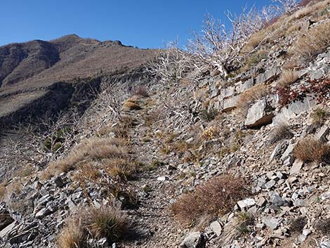
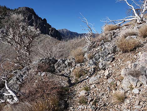
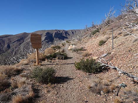 The trail quickly enters the Mt. Charleston Wilderness Area |
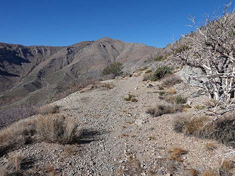
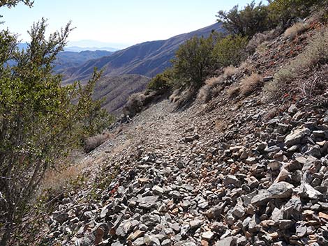
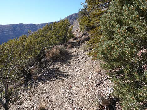
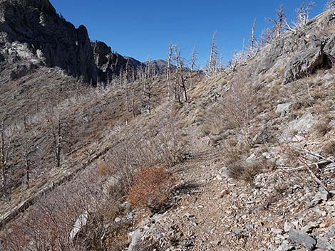
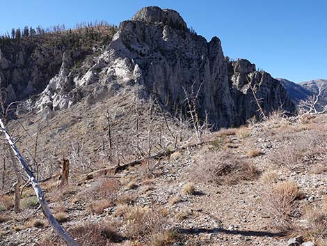
The Hike From the trailhead (Table 1, Waypoint 01), the trail runs west on the old Harris Canyon Road. The old road runs out onto steep, west-facing slopes high above Lovell Canyon, providing great views across the desert towards mountain ranges that disappear into the distance across southern California. Soon, the trail bends right to run northwest, and the high peak to the left is Griffith Peak. The 2013 Carpenter 1 Fire burned off almost all of the vegetation in this area, but shrubby pioneer species are coming back. Near the trailhead, the vegetation is dominated by shrubs (Curlleaf Mountain Mahogany, Pointleaf Manzanita, Ashy Silktassel, Green Ephedra, and other low bushes), plus grasses and herbaceous vegetation. The vegetation here is typical for hot, dry hillsides in the upper Pinyon-Juniper Woodland. Not far from the trailhead, a patch of Singleleaf Pinyon Pine survived the fire and can be seen growing above the trail. The trail follows the old, one-lane road for about 1.6 miles to where the road abruptly ends high in Lovell Canyon (Wpt. 02). The abrupt end of the road seems odd at first, but a story explains it. |
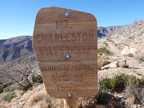 Sign: entering the Mt. Charleston Wilderness Area |
During the 1930s, the road was being built by the Works Progress Administration (known as the WPA), one of the government-funded public works programs that put people to work during the Great Depression. The road was intended to be a fire road that would connect with the Lovell Canyon Road (bottom of the canyon below the trail). However, in 1935 President Roosevelt went on a junket to the western mountains (the official line is that he came to inspect the construction site) and asked the project foreman where the road was going. The foreman said he didn't know (probably not really true; he was probably just nervous about talking to the president), and the president immediately stopped the project. Fortunately for the workers, the crew was moved to another project in Lee Canyon. That project was canceled when the men were put to work supporting the WWII effort. Near the end of the old road, the post-fire vegetation is dominated by Curlleaf Mountain Mahogany, Rubber Rabbitbrush, and Big Sagebrush, but many of the other shrub species have dropped out, and there is one Ponderosa Pine below the trail. Shortly before the old road actually ends, the trail ahead is blocked by rocks (Wpt. 02), and a foot-trail switchbacks up to the right and abruptly begins to climb steeply up the hillside. |
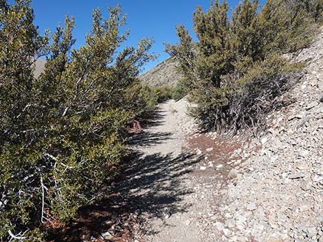
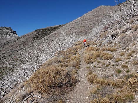
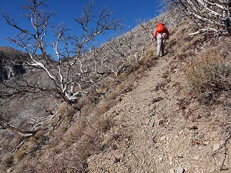
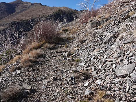
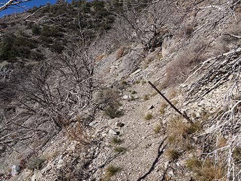
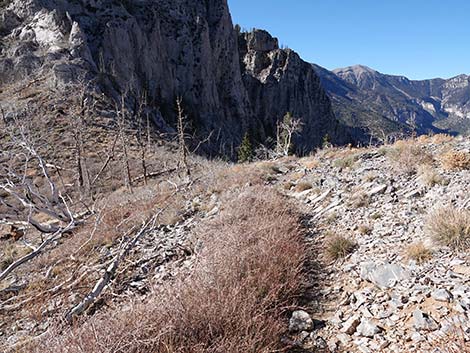
 The trail follows an old road build by the WPA in the 1930s (view NW) |
If hikers were to pass the blockade and continue on the old road, they shortly arrive at washout where the old road ends atop a 12-ft high cliff overlooking a steep wash. It is somewhat dangerous, but possible, to climb down the very steep slope below the road to the gully, then climb back up the gully and continue on the old road across the wash. Staying on the proper trail (Wpt. 02), hikers pass four steep switchbacks, then continue north across the slope to cross the gully (washed out below) at a bedrock crossing. From there, the trail descends back to reconnect with the old road (Wpt. 03). Hikers can walk back on the old road towards the washout, and after a short distance, encounter two old rock drill bits that remain stuck in the rock, attesting to the abrupt end of work on the road. These drill bits would have been retrieved and the rock blasted away if the road had been finished. Continuing on the main trail (Wpt. 03), hikers pass two more old drill bits stuck in the rock. |
 Exception to the rule that all vegetation burned in the fire |
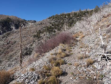
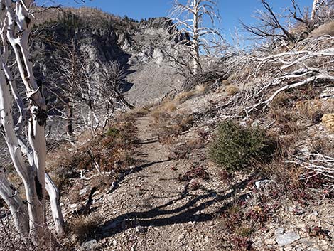
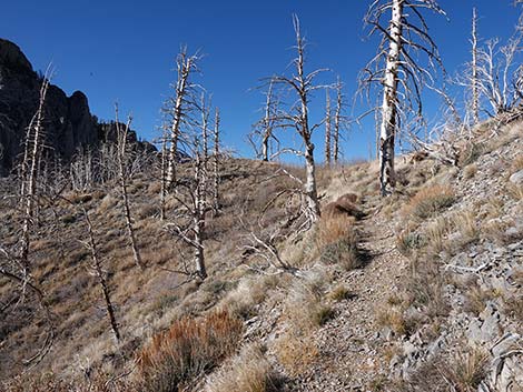
Shortly, all evidence of the old road fades away as hikers pass beyond the last of the WPA road work. The foot-trail continues northwest. At a gully where the trail was rerouted a bit to avoid another washout, the trail passes through a small patch of conifer trees that survived the fire: look of unusually high-elevation Singleleaf Pinyon Pine and the first Limber Pine. The trail continues towards Harris Saddle. Along the upper section, although burned, the vegetation transitions from a mix of dry, middle-elevation species to a cool, alpine-feeling Pine-Fir Forest (Canadian Life Zone). There is a pretty little meadow on the north-facing slope at the saddle with grasses, forbs, and spring wildflowers, but it is getting a bit overgrown by a thicket of low-growing Quaking Aspen. The trees here are mostly White Fir, Limber Pine, and Quaking Aspen with a few still-standing Ponderosa Pine that died in the fire. There are also some Oregon Grape, Desert Snowberry, Big Sagebrush, and Common Juniper in the area. The trail approaches Harris Saddle a little high and eventually drops into the saddle (Wpt. 04). |
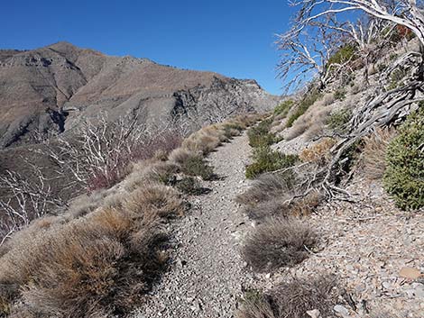
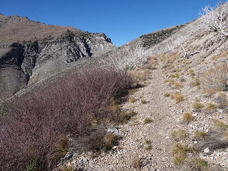
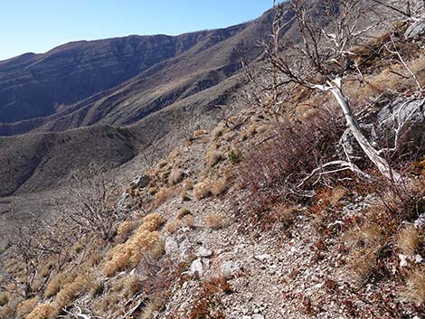
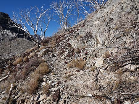
 The old WPA road contours up across the hillside (view |
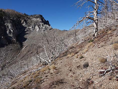
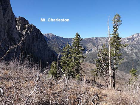
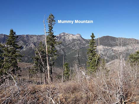
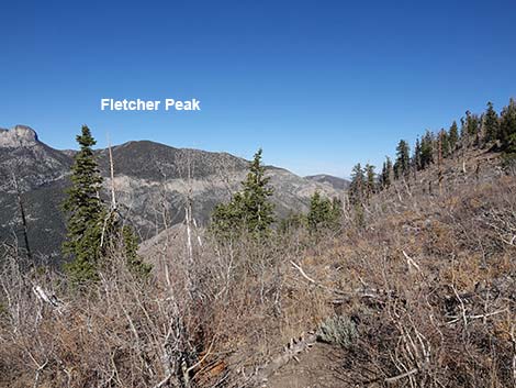
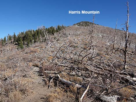
Harris Saddle is a great place to stop, rest, and enjoy the views. There are great views to the north into Kyle Canyon and Mummy Mountain, and to the south towards Mt. Potosi and the vastness of the desert beyond. While at the saddle, keep an eye out for Mount Charleston Chipmunks and Clark's Nutcrackers. These Chipmunks are unique to the Spring Mountains -- they occur nowhere else on earth. Clark's Nutcrackers, noisy, black-and-white birds about the size of a jay, occur only at the highest elevations in Southern Nevada -- if you find Clark's Nutcrackers, you know you are in a nice place. From Harris Saddle, the Griffith Peak Trail continues west, climbs up through the limestone cliffs, passes near the summit of Griffith Peak, and connects with the South Loop Trail at the top of Echo Canyon. The South Loop Trail can be followed up to the summit of Mount Charleston or down to the Cathedral Rock Trailhead in Kyle Canyon. In addition, a pleasant off-trail route runs east to the summit of Harris Mountain. Return to the Griffith Peak Trailhead by retracing your footprints in the dust back down the Harris Saddle Trail. |
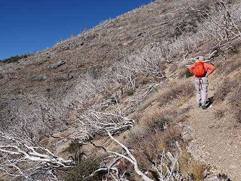
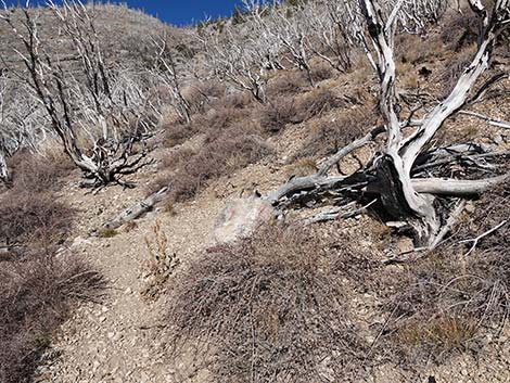
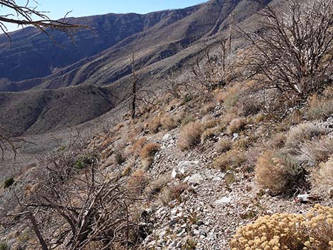
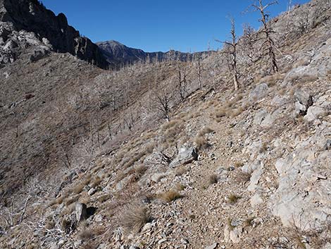
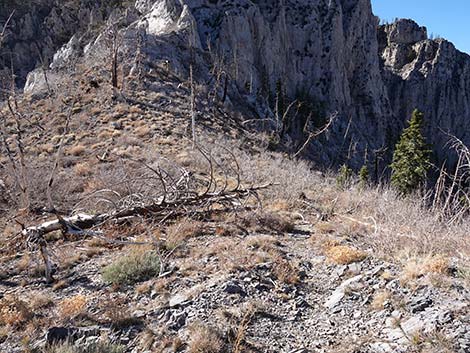
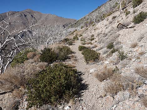 Lots of dead shrubs, but some recovering too (view NW) |
 Dead Pinyon Pine above the trail (view NW) |
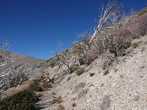
 Dead trees are falling into the trail (view NW) |
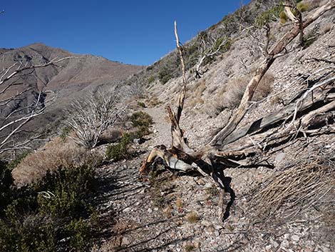
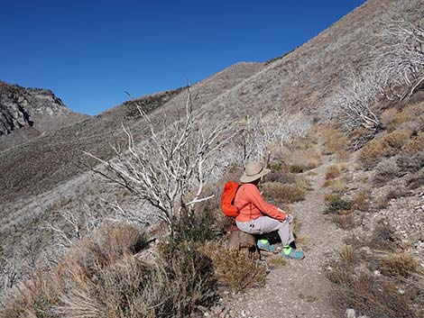
 Some dead trees make nice seats to re-tie shoelaces (view NW) |
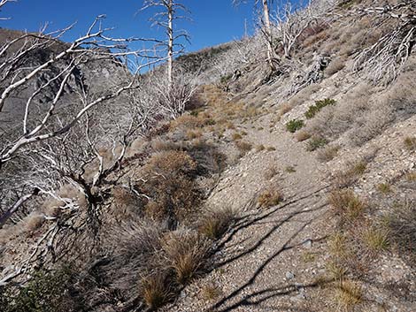
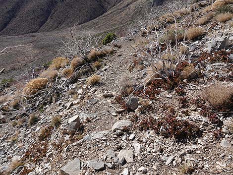
 The trail passes another patch of living Mt. Mahogany |
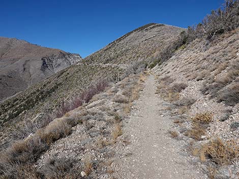
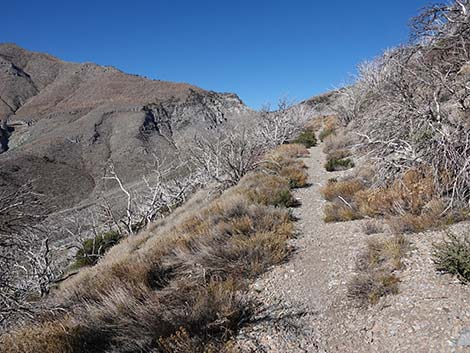
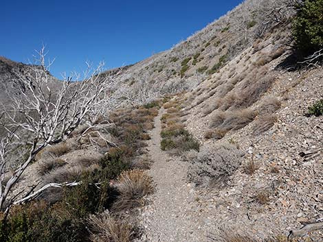
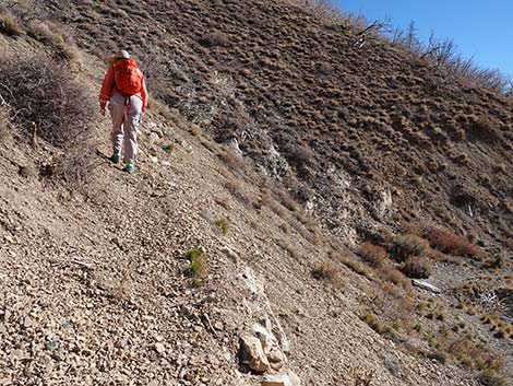
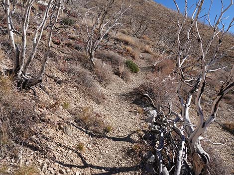
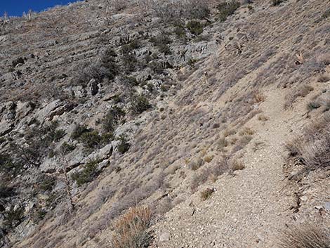
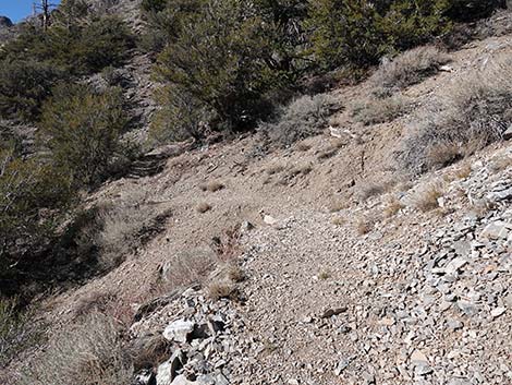
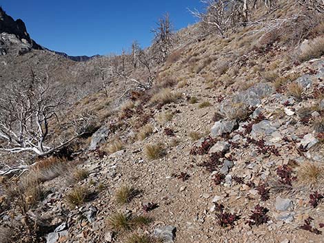
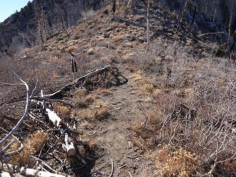
 Easy walking on the old road (view NW) |
 |
 |
 |
 |
 |
 |
 |
 |
 An old log provides a nice place to sit and listen to the winds |
 Dead trees on the hillside (view N) |
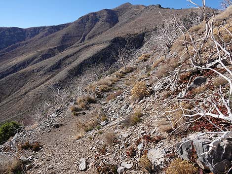
 A nice view of Harris Saddle (view NW) |
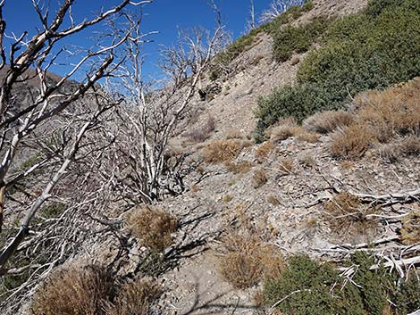
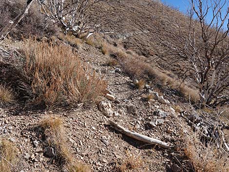
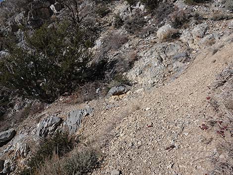
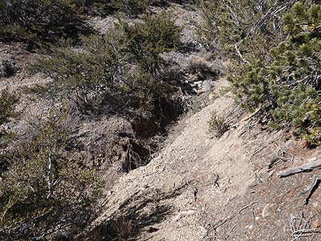
 The trail passes a partial washout of the old road (view NW) |
 The Utah Serviceberry is coming back (view NW) |
 Lots of Mt. Mahogany carcasses |
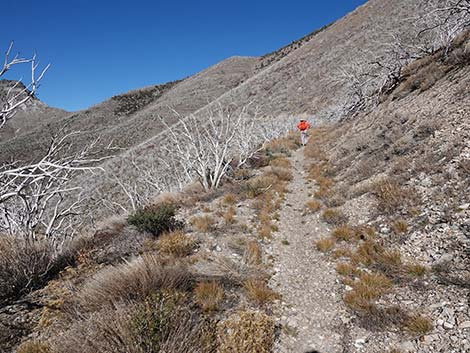
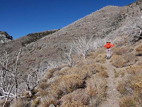
 Hiker heading up the trail (view N) |
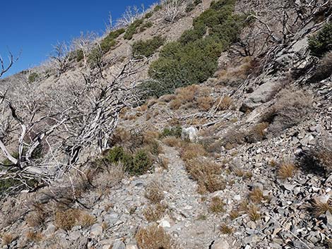
 Hiker approaching the end of the old WPA road (view N) |
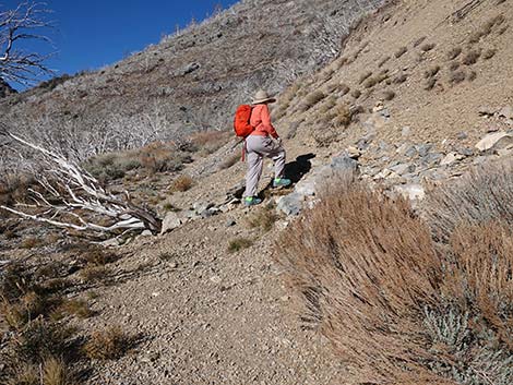 Trail blocked, hiker at switchback to start the bypass (view N) |
 Hiker starting up the first switchback (view E from old road) |
 The first switchback is very steep (view SE from near old road) |
 Hiker on second switchback (view N) |
 Hiker on second switchback (view N) |
 Bypass trail turns back right at third switchback (view NE) |
 Third switchback (view SE) |
 Bypass trail turns back left at fourth switchback (view SE) |
 Beyond fourth switchback (view NE) |
 Bypass trail climbs across hillside towards rocky gully (view N) |
 Bypass trail turns down steeply into rocky gully (view NW) |
 Bypass trail traverses rocky hillside (view W) |
 Bypass trail descends across rocky hillside (view W) |
 Bypass trail descends across hillside (view W) |
 Bypass trail descends across hillside (view W) |
 Bypass approaching the main trail (view W) |
 Bypass returns to the main trail (view W) |
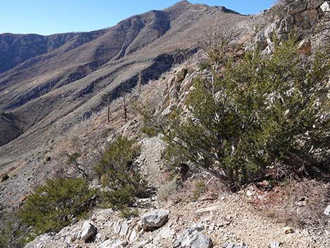
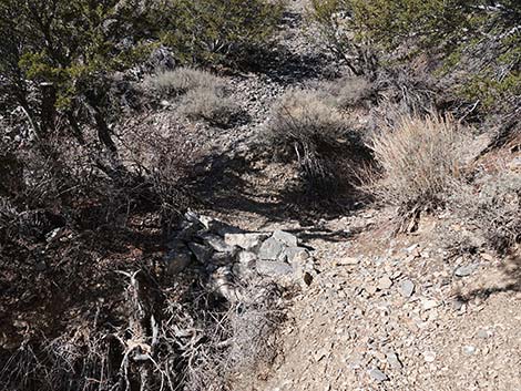
 The main trail continues to traverse the hillside (view NW) |
 Approaching a drill bit stuck in the rock (view NW) |
 Old WPA drill bit stuck in the rock (view NW) |
 The trail continues to traverse the hillside (view NW) |
 Approaching another drill bit stuck in the rock (view NW) |
 Perhaps the very end of the WPA road building effort (view N) |
 Trail approaching another gully with a washout (view N) |
 Trail crosses the gully (view NE) |
 Past gully descending back towards the main trail (view SW) |
 Another patch of trees that survived the fire (view W) |
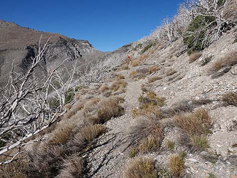
 The foot-trail remains an easy walk (view NW) |
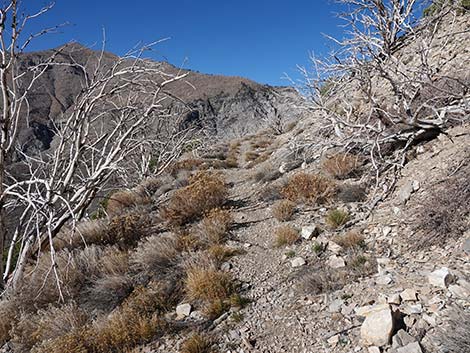
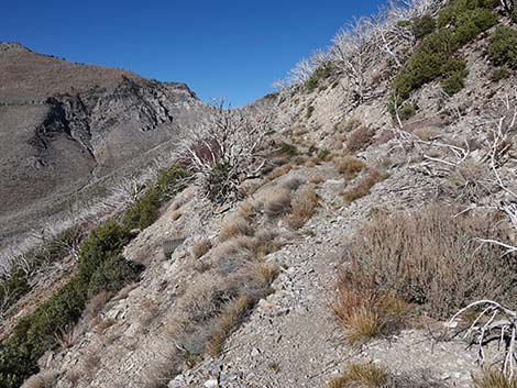
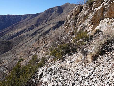
 Harris Saddle begins to feel close (view NW) |
 The foot-trail remains an easy walk (view NW) |
 The trail climbs over a rocky outcrop (view NW) |
 Cresting the rocky outcrop (view NW) |
 The trail descends a bit (view NW) |
 Mt. Charleston is visible over Harris Saddle (view NW) |
 The trail climbs again towards the saddle (view NW) |
 Entering a forest of burned Ponderosa Pine and White Fir (view NW) |
 Beginning the descent into Harris Saddle (view NW) |
 Descending into Harris Saddle (view NW) |
 Arriving at Harris Saddle (view W) |
 Harris Saddle (view W) |
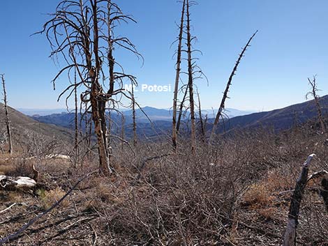 Grand scenery (view S from Harris Saddle) |
 Grand scenery (view NW from Harris Saddle) |
 Grand scenery (view N from Harris Saddle) |
 Grand scenery (view NE from Harris Saddle) |
 Summit of Harris Mountain (view E) |
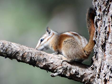 Charleston Mountain Chipmunk |
Table 1. Hiking Coordinates Based on GPS Data (NAD27; UTM Zone 11S). Download Hiking GPS Waypoints (*.gpx) file.
| Wpt. | Location | UTM Easting | UTM Northing | Elevation (ft) | Point-to-Point Distance (mi) | Cumulative Distance (mi) |
|---|---|---|---|---|---|---|
| 01 | Trailhead | 626075 | 4009077 | 8,351 | 0.00 | 0.00 |
| 02 | Detour Starts | 624628 | 4010786 | 8,835 | 1.53 | 1.53 |
| 03 | Detour Ends | 624473 | 4010860 | 8,863 | 0.27 | 1.80 |
| 04 | Harris Saddle | 623738 | 4011296 | 9,080 | 0.65 | 2.45 |
Happy Hiking! All distances, elevations, and other facts are approximate.
![]() ; Last updated 240329
; Last updated 240329
| Hiking Around Mt Charleston | Hiking Around Las Vegas | Glossary | Copyright, Conditions, Disclaimer | Home |