Backroads Around Las Vegas, Spring Mountains (Mt. Charleston)
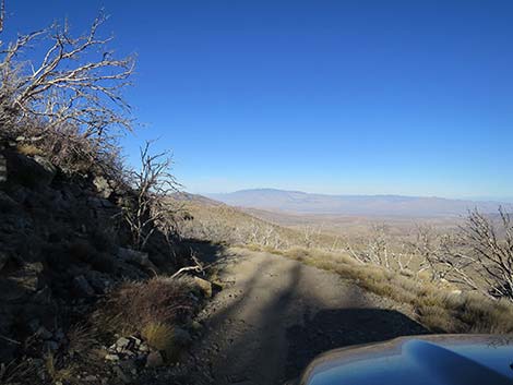 |
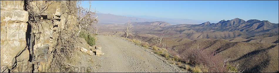
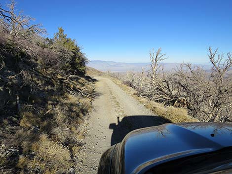
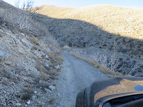
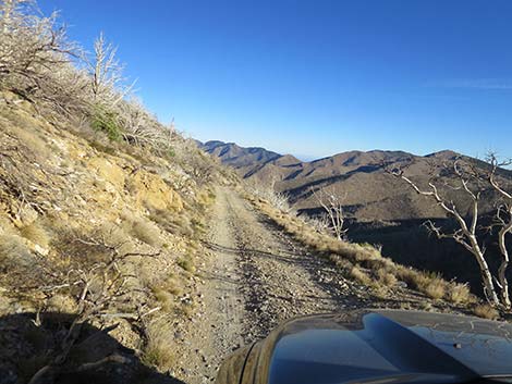
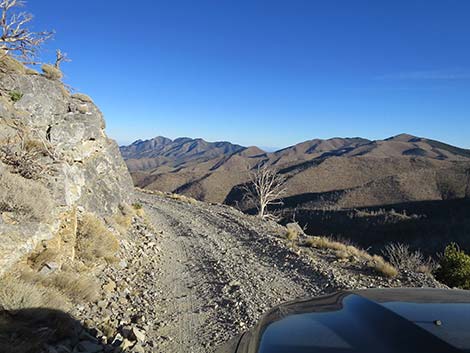
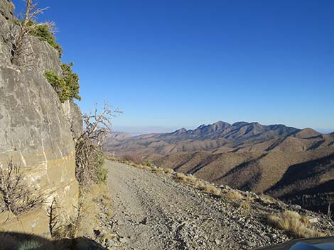
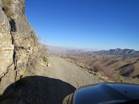
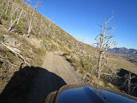
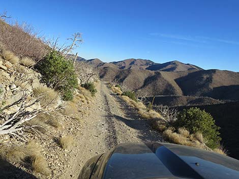
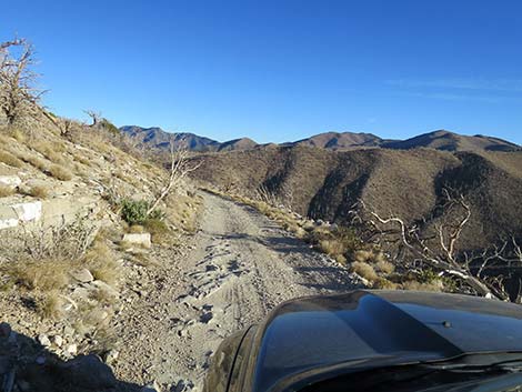
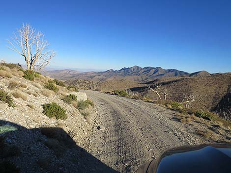
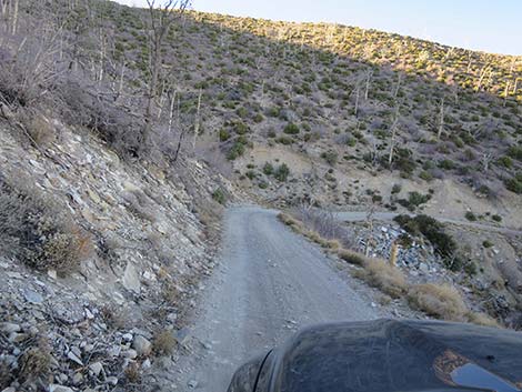
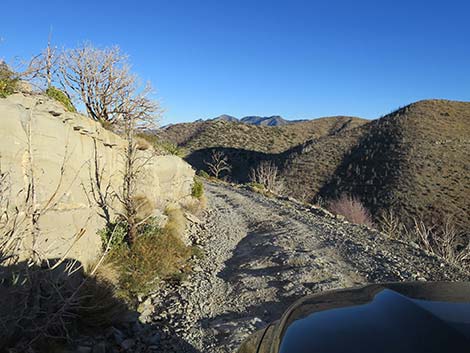
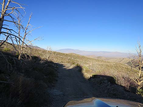
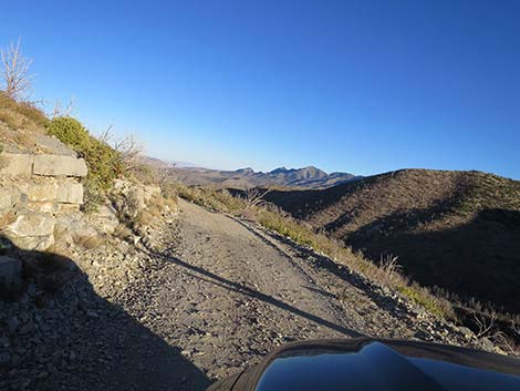
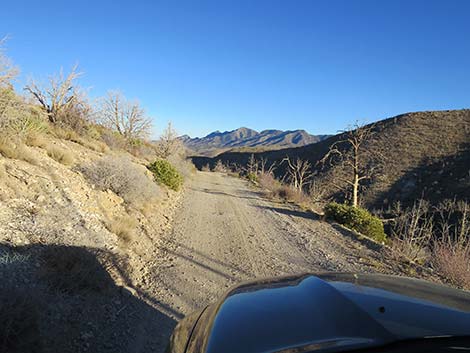
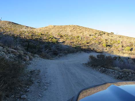
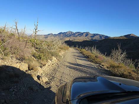
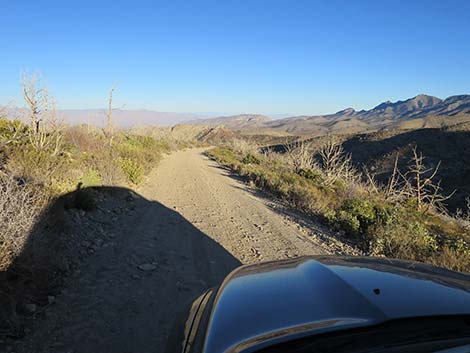
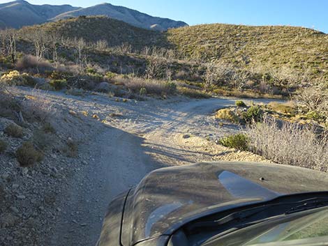
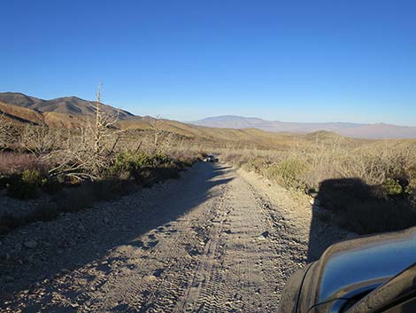
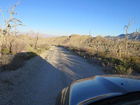
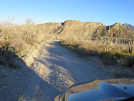
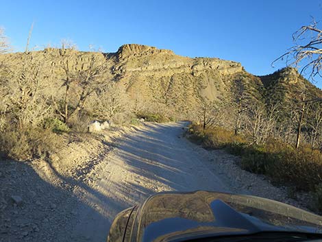
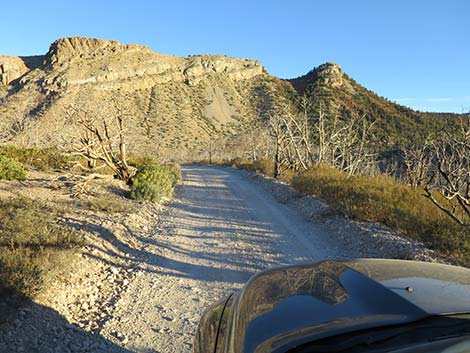
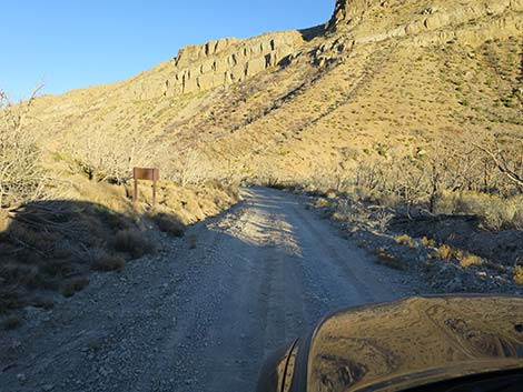
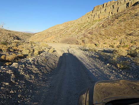
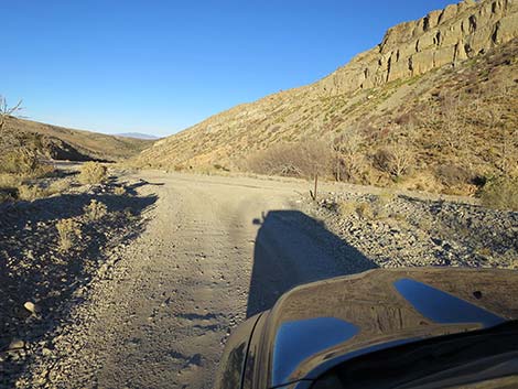
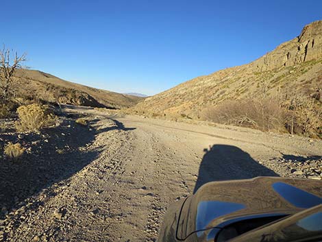
Overview Harris Mountain Road is a 5.7-mile, seldom-maintained dirt road in the wild backcountry of Spring Mountains National Conservation Area. The road runs west from Harris Springs Road, climbs onto the south ridge of Harris Mountain, and ends at the Griffith Peak Trailhead overlooking Lovell Canyon. Lower down with gentle hillsides slopes, the road is relatively good and primitive camping areas are scattered along. Higher in the mountains, the road becomes rocky and much rougher, the steep slopes provide few options for pulling off the roadway, and passengers might complain about getting too close to the cliff. The road ends at Griffith Peak Trailhead, another primitive camping area with grand views to the east and west. Presented here are photos of the return because it always looks different on the way down. For a detailed description of the road, including directions, maps, GPS coordinates, and photos, see Harris Mountain Road. |
 |
 |
 |
 |
 |
 |
 |
 |
 |
 |
 |
 |
 |
 |
 |
 |
 |
 |
 |
 |
 |
 |
 |
 |
 |
 |
 |
 |
Happy Hiking! All distances, elevations, and other facts are approximate.
![]() ; Last updated 240329
; Last updated 240329
| Backroads | Hiking Around Las Vegas | Glossary | Copyright, Conditions, Disclaimer | Home |