Backroads Around Las Vegas, Spring Mountains (Mt. Charleston)
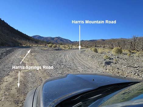 Unsigned: Harris Springs Road at Harris Mountain Road (view SW) |
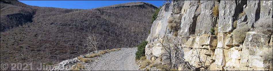
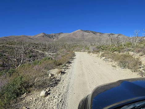
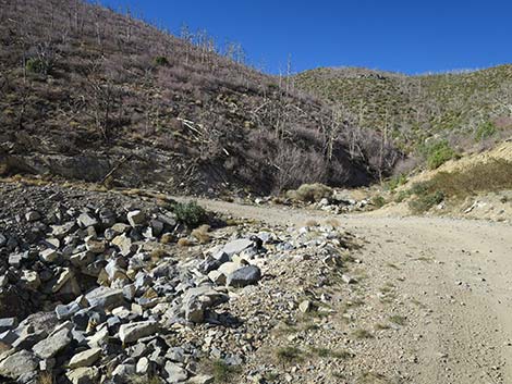
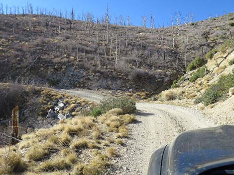
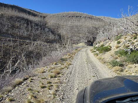
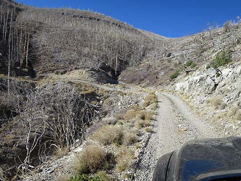
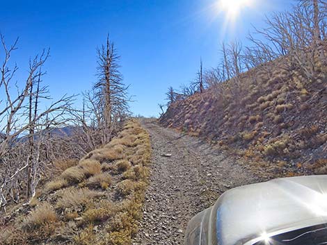
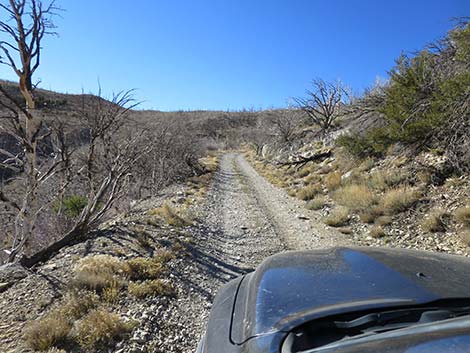
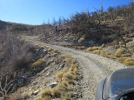
Overview Harris Mountain Road is a 5.7-mile, seldom-maintained dirt road in the wild backcountry of Spring Mountains National Conservation Area. The road runs west from Harris Springs Road, climbs onto the south ridge of Harris Mountain, and ends at the Griffith Peak Trailhead overlooking Lovell Canyon. Lower down with gentle hillsides slopes, the road is relatively good and primitive camping areas are scattered along. Higher in the mountains, the road becomes rocky and much rougher, the steep slopes provide few options for pulling off the roadway, and passengers might complain about getting too close to the cliff. The road ends at Griffith Peak Trailhead, another primitive camping area with grand views to the east and west. This area burned in the 2013 Carpenter 1 Fire, a fire that burned hot and devastated the vegetation, particularly the conifer trees. Shrubs are growing back, but not the trees. Link to map. |
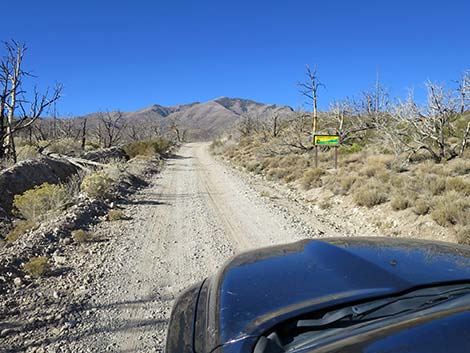
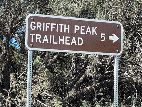 Historical sign: Harris Mountain Road sign for Griffith Peak Trailhead |
Watch Out Other than the standard warnings about driving in the desert, ...this is a pretty rough road. The road is not often maintained and has deteriorated over the years, but the exact condition depends on the time since grading and the history of rain and flooding. The road used to be suitable for a carefully driven sedan, but it now requires a high-clearance vehicle with off-highway tires. Note that Google Maps show the road continuing past the trailhead, but this is an error that I've tried to fix for years. Google also shows the road going over a cliff into the bottom of Lovell Canyon, but this too is an error. While out, please respect the land and the other people out there, and try to Leave No Trace of your passage. Also, even though this road is short, be sure to bring what you need of the 10 Essentials. Always watch for crazy drivers careening around blind corners. |
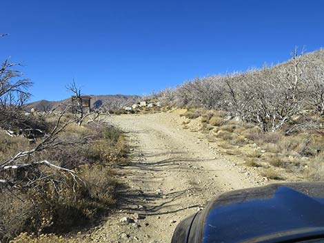
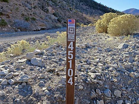 Current Harris Mountain Road sign: Forest Road 45104 (view S) |
Getting to the Roadhead This hike is located south of lower Kyle Canyon in the Spring Mountains National Conservation Area, about 45 minutes northwest of Las Vegas. From town, drive north on Highway 95 to Kyle Canyon Road (Highway 157; Table 1, Site 0667). Turn left onto Kyle Canyon Road and drive west for 12.3 miles to Harris Springs Road (Site 0764), which is just past two paved and lighted "chain up" pullouts. Watch for a directional sign on the right side of the highway with an arrow pointing left. Turn left onto Harris Springs Road and drive south for 3.3 miles to Forest Road 45104 on the right (Site 0767). This is Harris Mountain Road; there are no directional signs, but watch for a carsonite post with the road number. |
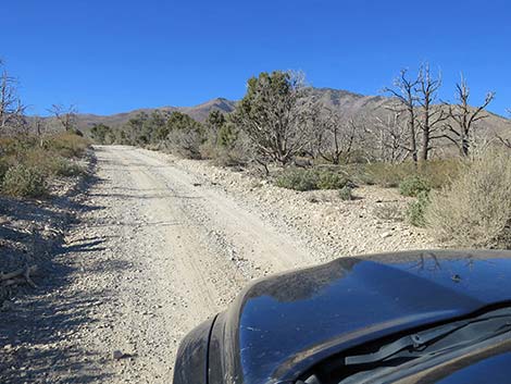
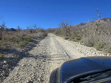
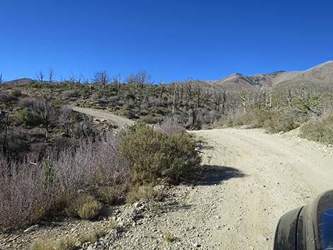
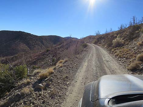
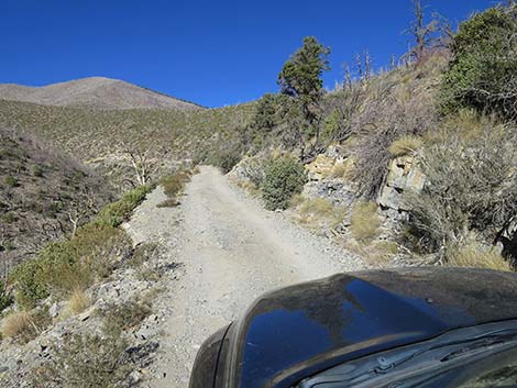
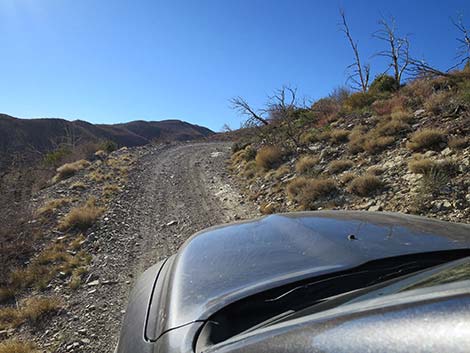
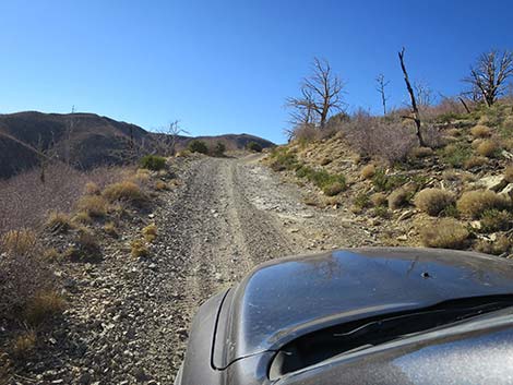
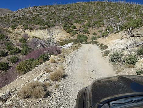
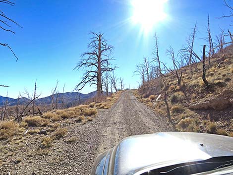
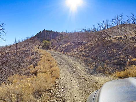
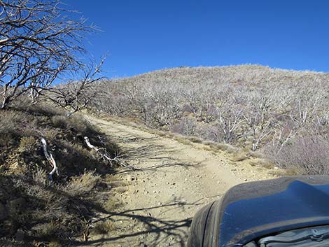
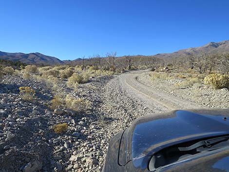 Turning from Harris Springs Road onto Harris Mountain Road (view SW) |
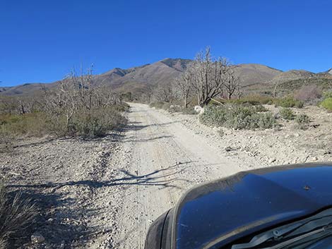
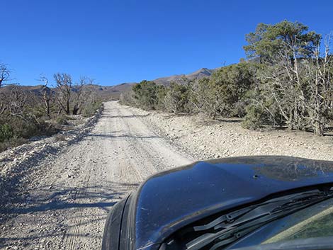
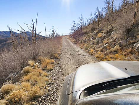
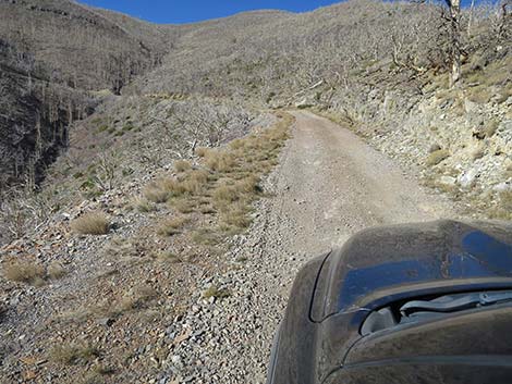
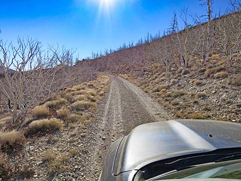
The Road From Harris Springs Road, Harris Mountain Road forks right and runs southwest climbing onto the hillside. The road is bumpy, but in fine condition for the first 2 miles. After about 0.25 miles out, side roads to primitive camping areas begin to branch off to the right, mostly into patches of Singleleaf Pinyon Pine and Utah Junipers that survived the fire. These sites stretch to about 1 mile out, and then the last is tucked into a narrow canyon above a tight turn 1.5 miles out. The road continues in good condition to about 2-miles out, where a bit of rocky road gives hints of what is to come. |
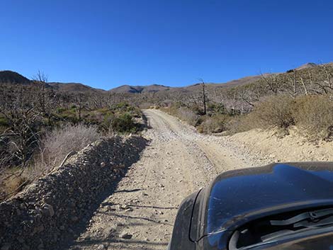
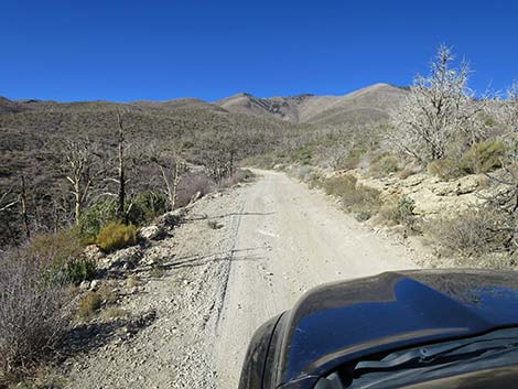
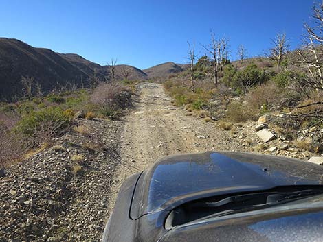
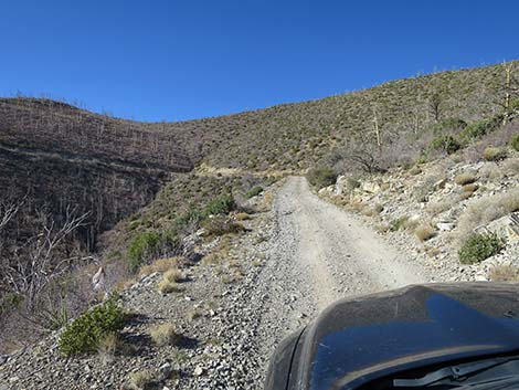
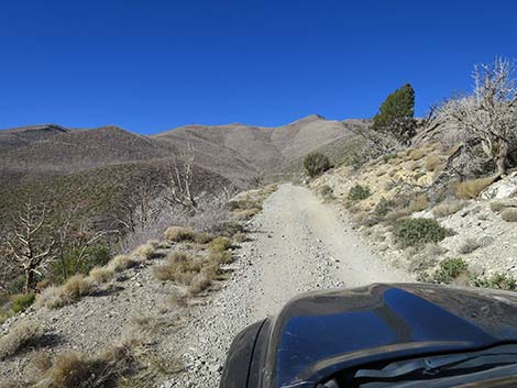
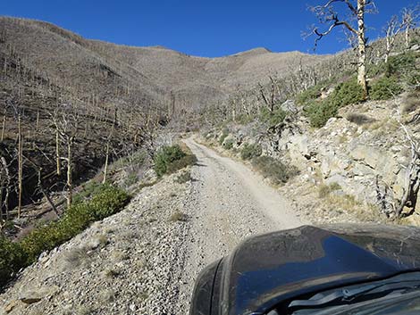
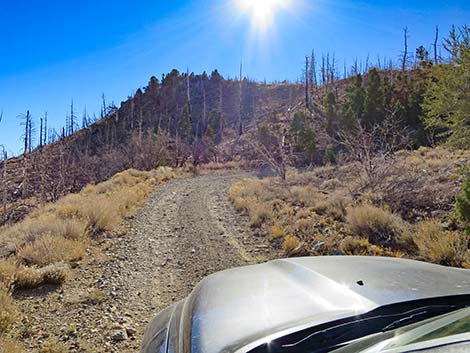
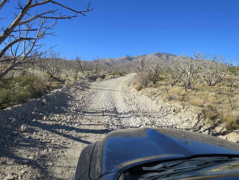 Starting up Harris Mountain Road (view W) |
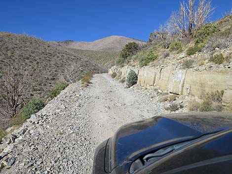
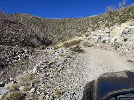
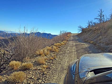
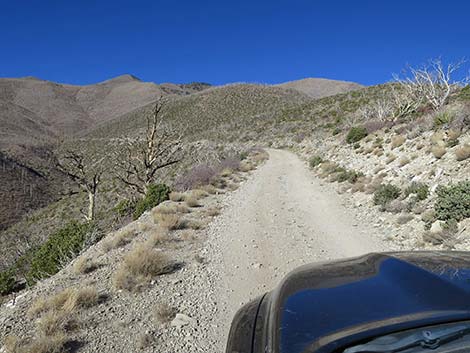
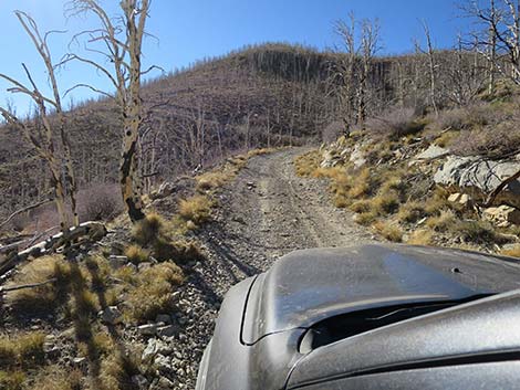
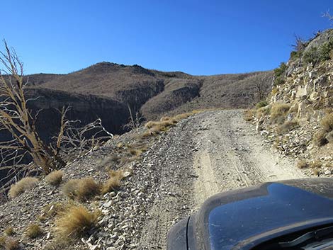
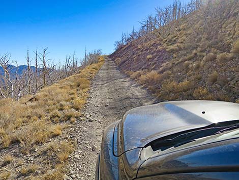
Harris Mountain Road has deteriorated over the years, and a high clearance, 2WD vehicle is now necessary on the rocky spots. The road is never that bad, but several long, rocky stretches are easier to pass on the outside edge of the road (i.e., close to the cliff edge). I talked to one Forest Service employee who said that they had been on the road in a USFS truck three times in the last year, and all three times had experienced flat tires. After about 5.7 miles on Harris Mountain Road, the road ends abruptly atop a sharp ridge overlooking Lovell Canyon at the Griffith Peak Trailhead (Site 0594). For photos of the return, see Harris Mountain Road - Eastbound. |
 Sign: Help prevent forest fire (view W) |
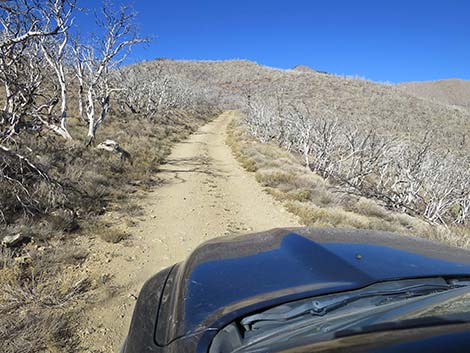
 Most trees burned in the Carpenter 1 Fire (view W) |
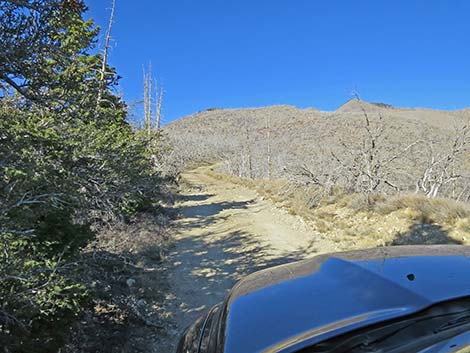
 A few trees survived the Carpenter 1 Fire (view W) |
 A couple of patches of trees survived the Carpenter 1 Fire (view W) |
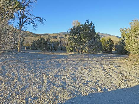 Campsite on the right side of the road; 0.3 miles out (view N) |
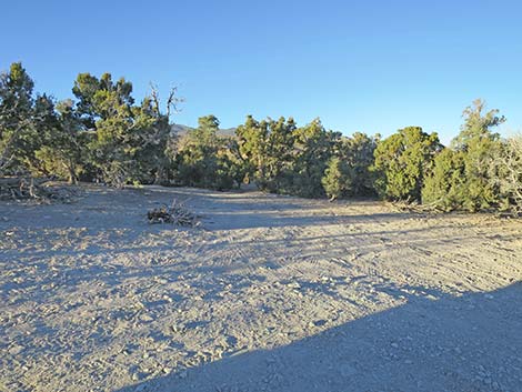 Another campsite on the right side of the road; 0.3 miles out (view N) |
 |
 |
 |
 |
 |
 |
 |
 |
 |
 |
 |
 |
 |
 |
 |
 |
 |
 |
 |
 |
 |
 |
 |
 |
 |
 |
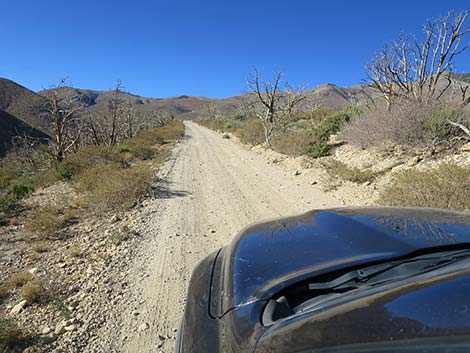
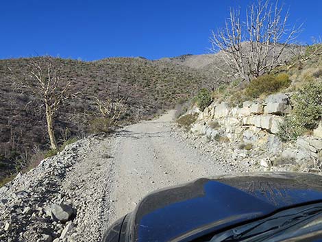
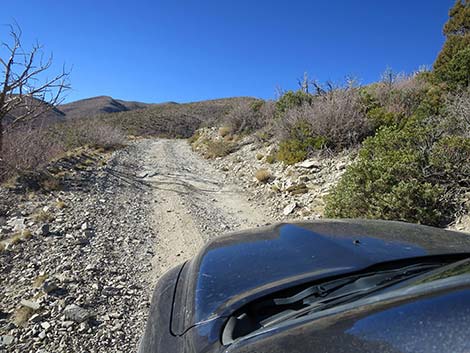
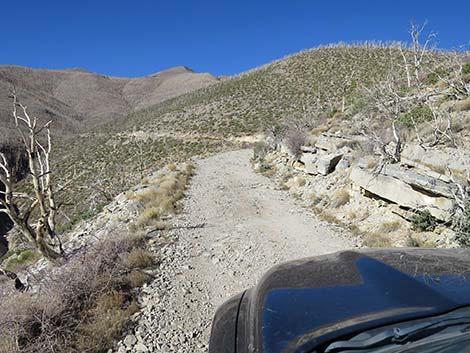
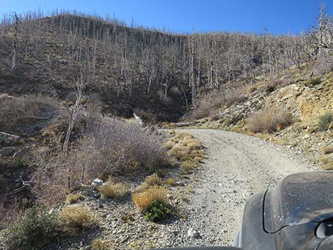
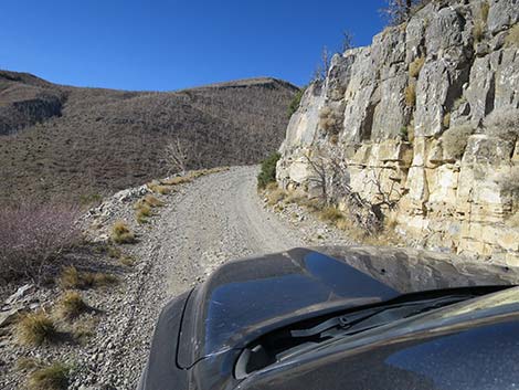
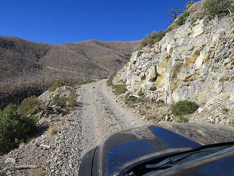 Harris Mountain Road passing a rocky outcrop (view SW) |
 Entering area where all Ponderosa Pines burned in the fire (view W) |
 All Ponderosa Pines here burned in the fire (view W) |
 Carcass of a large Ponderosa Pines that burned in the fire (view S) |
 |
 |
 |
 |
 |
 |
 |
 |
 |
 |
 |
 |
 |
 |
 |
 |
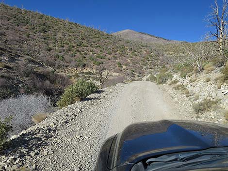
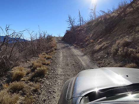
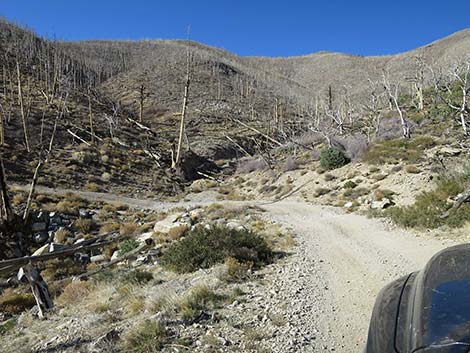
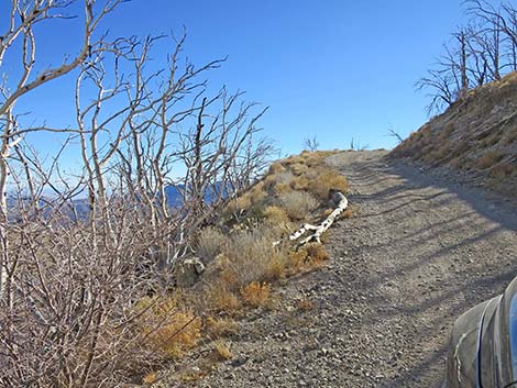
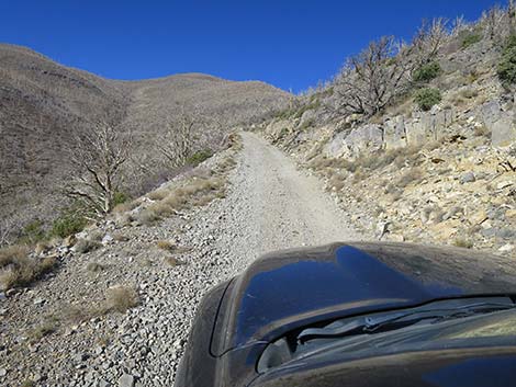
 Approaching the last turn on Harris Mountain Road (view S) |
 Beyond the last turn on Harris Mountain Road (view S) |
 |
 |
 Approaching Griffith Trailhead parking (view W) |
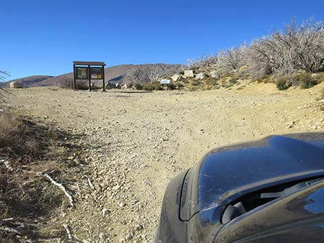 Arriving at Griffith Trailhead parking (view W) |
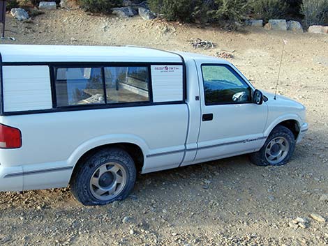 Sometimes bad things happen -- 2 trucks and 9 slashed tires in 2009 |
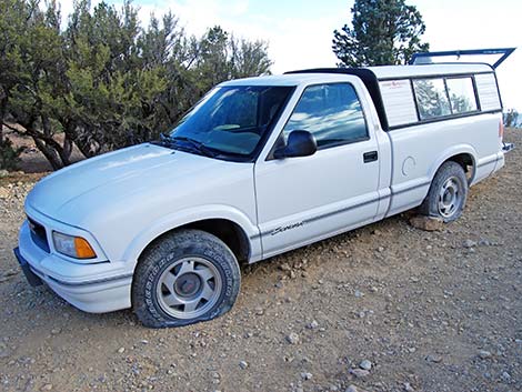 This was my truck; the other truck had broken windows too |
Table 1. Backroad Coordinates (NAD27; UTM Zone 11S). Download Roadway GPS Waypoints (*.gpx) file.
| Site | Location | UTM Easting | UTM Northing | Latitude (N) | Longitude (W) | Elevation (ft) | Verified |
|---|---|---|---|---|---|---|---|
| 0667 | Hwy 95 at Kyle Canyon Rd | 651544 | 4021405 | 36.32758 | 115.31167 | 2,820 | Yes |
| 0764 | Kyle Canyon Rd @ Harris Springs Rd | 632942 | 4015180 | 36.27423 | 115.51990 | 5,400 | Yes |
| 0767 | Harris Springs Rd at Harris Mountain Rd | 631261 | 4012015 | 36.24593 | 115.53915 | 5,728 | Yes |
| 1277 | Griffith Peak Trailhead Parking | 626090 | 4009085 | 36.22021 | 115.59715 | 8,330 | Yes |
Happy Hiking! All distances, elevations, and other facts are approximate.
![]() ; Last updated 240329
; Last updated 240329
| Backroads | Hiking Around Las Vegas | Glossary | Copyright, Conditions, Disclaimer | Home |