 |
| Home | Wilderness | Hiking | Mt Charleston | Mary Jane Road |
Mary Jane Road Map
Roads Around Las Vegas,
Spring Mountains National Recreation Area |
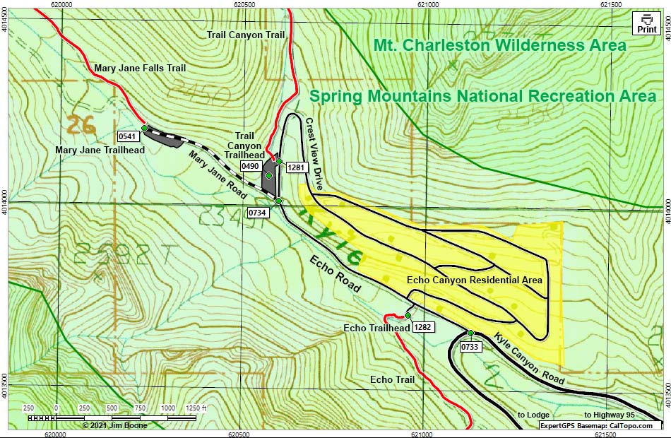 |
| Note: Map based on USGS 7.5-minute topo map, which may have red grid lines and various numbers. North is at the top. Grid is UTM NAD27 CONUS. Roads are black (solid = paved; dashed = unpaved; width implies quality). Trails and routes are red (solid = main; dashed = adjacent or alternate). Washes, streams, and lakes are blue (solid = permanent; dashed = intermittent). Wilderness Areas (boundaries solid green, fill light green) based on BLM data. National Forest areas (boundaries dashed brown, fill light green) based on USFS data. Download waypoint coordinates from route description page. |
Happy Hiking! All distances, elevations, and other facts are approximate.
 ; Last updated 210823 ; Last updated 210823 |
|