Hiking Around Las Vegas, Mount Charleston Area

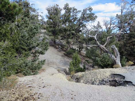
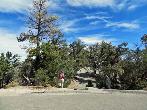 Hiker starting on Deer Creek Catch Pen Trail North (view E) |
Catch Pen Trailhead is located up in the Spring Mountains National Recreation Area (also known as Mt. Charleston), about 50 minutes northwest of Las Vegas. The trailhead can be reached from Kyle Canyon Road or from Lee Canyon Road. Travel via Kyle Canyon would be more scenic, but a bit longer than using Lee Canyon Road. Using Lee Canyon Road, from town, drive north 31 miles on Highway 95 to Lee Canyon Road. Turn left onto Lee Canyon Road and drive southwest 14.2 miles to Deer Creek Road. Turn right onto Deer Creek Road and drive south 1.9 to the trailhead parking area (Table 1, Site 1537), on the left. Link to Trailhead Map. |
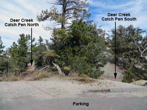 Starting of Deer Creek Catch Pen Loop Trail (view E) |
Using Kyle Canyon Road, from town, drive north on Highway 95 for 17 miles to Kyle Canyon Road. Turn left onto Kyle Canyon Road and drive southwest 17 miles to Deer Creek Road, which is a bit past the Mt. Charleston Resort. Turn right onto Deer Creek Road and drive north 6.9 miles the trailhead parking (Site 1537), on the right. Catch Pen Trailhead provides access to both ends of the Deer Creek - Catch Pen Loop, or hiking them separately, Deer Creek Catch Pen North and Deer Creek Catch Pen South trails. |
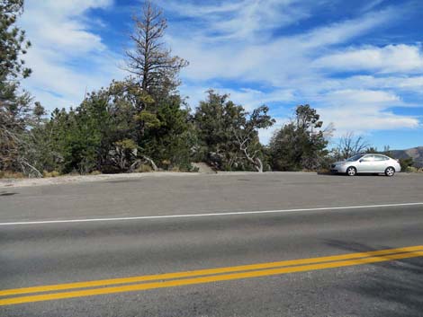 Deer Creek Catch Pen Trailhead Parking (view SE) |
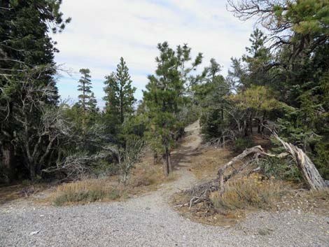 Deer Creek Catch Pen North (view E) |
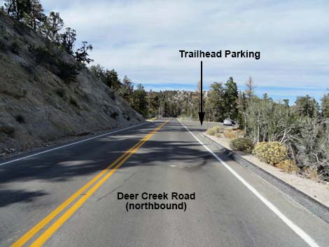 Deer Creek Road approaching Deer Creek Catch Pen Trail (view N) |
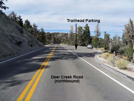 Deer Creek Road at Deer Creek Catch Pen Trail (view N) |
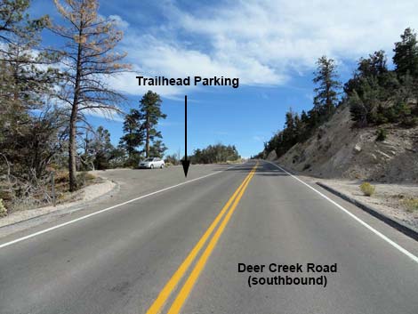 Deer Creek Road approaching Deer Creek Catch Pen Trail (view S) |
 Deer Creek Road at Deer Creek Catch Pen Trail (view S) |
 Start of Deer Creek Catch Pen South |
 more to come ... |
Table 1. Highway Coordinates (NAD27; UTM Zone 11S). Download Highway GPS Waypoints (*.gpx) file.
| Site | Location | UTM Easting | UTM Northing | Latitude (N) | Longitude (W) | Elevation (ft) |
|---|---|---|---|---|---|---|
| 1537 | Catch Pen Trailhead | 623151 | 4021458 | 36.33212 | 115.62789 | 8,513 |
Happy Hiking! All distances, elevations, and other facts are approximate.
![]() ; Last updated 240329
; Last updated 240329
| Hiking Around Mt Charleston | Hiking Around Las Vegas | Glossary | Copyright, Conditions, Disclaimer | Home |