Hiking Around Las Vegas, Spring Mountains (Mt. Charleston), Kyle Canyon
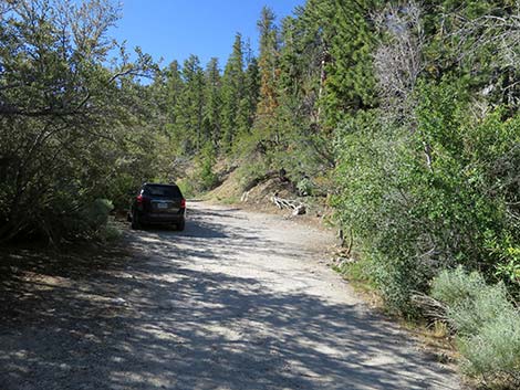
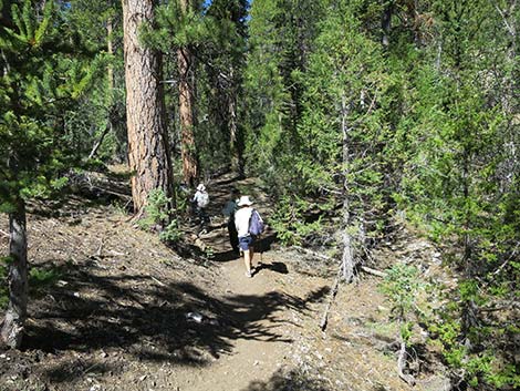
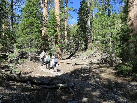
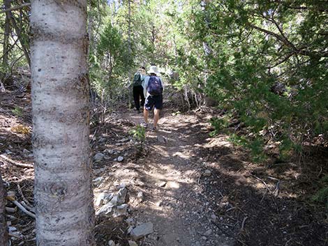
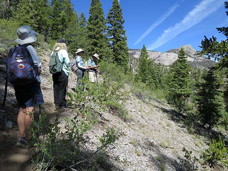
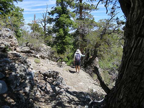
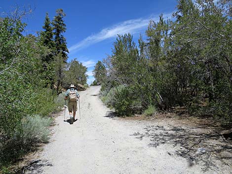
 Start of the hike (view SW from trailhead parking area) |
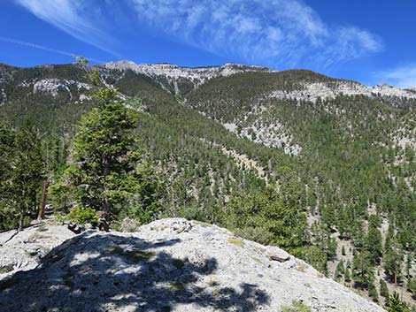
Overview Wildhorse Loop is an unofficial trail (i.e., a use-trail) that provides a nice, moderately strenuous, 2.2-mile (600-ft elevation gain) hike into the Spring Mountains through a shady forest and up to grand views. The route runs up a canyon at fairly gentle grades, then climbs somewhat steeply to gain a rocky ridgeline at a highpoint (9,000-ft elevation) with grand views of the surrounding mountain peaks. From the highpoint, the route loops back down a rocky ridge with big views all around, but especially to the northeast. The route provides big views across the Nevada Test Site (now the Nevada Test and Training Range), but not quite into Frenchman Flats where they set off atomic bombs in the 1950s and 1960s. The vegetation on the sunny and dry ridge is interesting because it supports tree species usually found at lower elevations. Link to route map and elevation profile. |
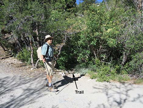
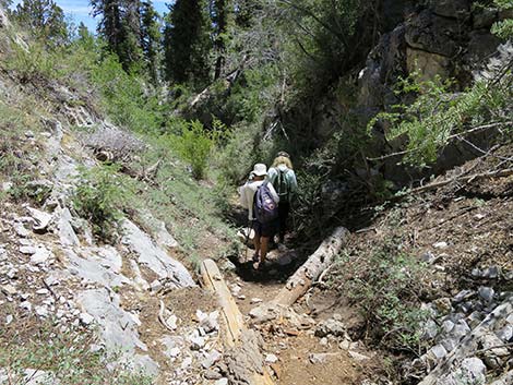
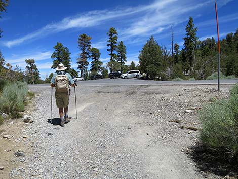
 Hiker crossing Deer Creek Road to start the trail (view SW) |
This route provides connections to the North Loop Trail and to Mummy Spring, such that hikers can start here and make even longer loops. Watch Out Other than the standard warnings about hiking in the desert, ...this trail is fairly safe, but from the highpoint, the trail follows down a ridge with a steep drop-off on one side and a cliff on the other side. The walking is easy, but someone could stumble off the cliff. At the toe of the ridge, there are some steep rock sections where hikers need to use extra caution, although a fall would not be fatal. While hiking, please respect the land and the other people out there, and try to Leave No Trace of your passage. Also, even though this is a short hike, be sure to bring what you need of the 10 Essentials. This trail runs up into the Mt. Charleston Wilderness Area, so pay particular attention to respecting the land. |
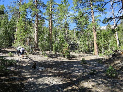
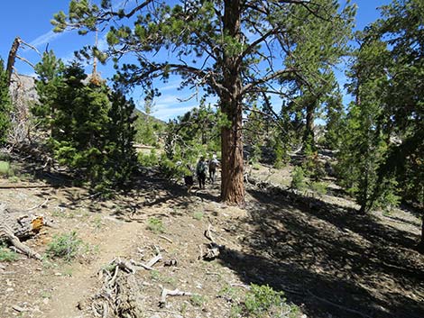
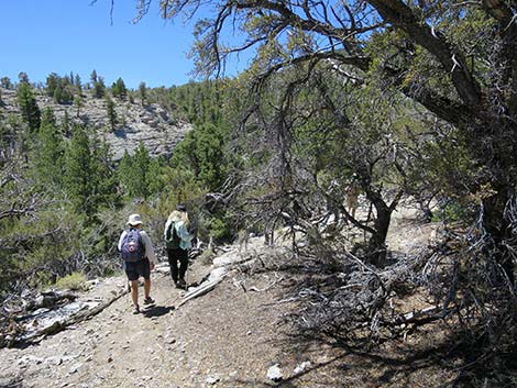
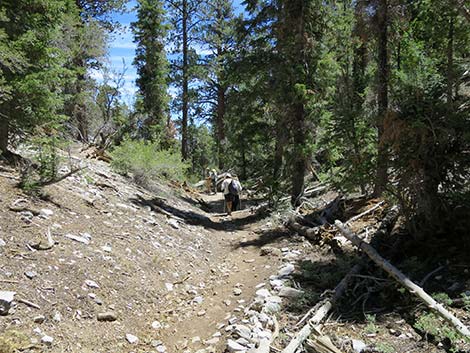
 Hiker following dirt road to the start of the trail (view SW) |
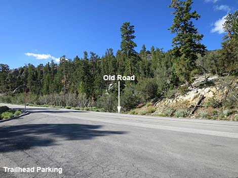
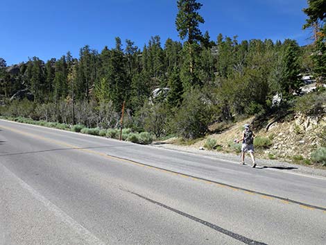
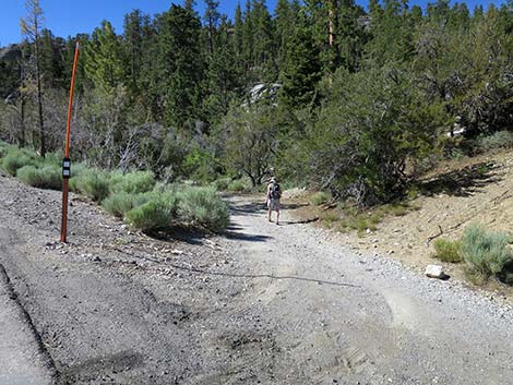
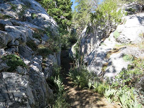
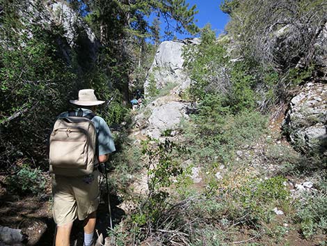
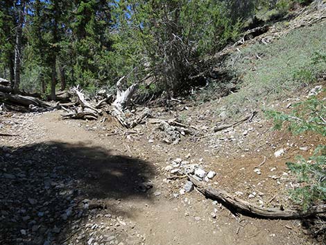
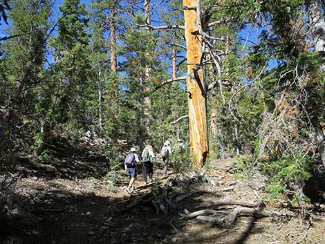
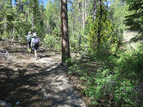
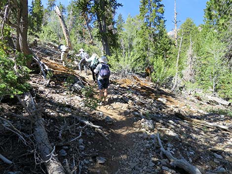
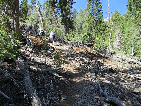
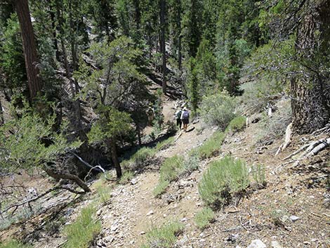
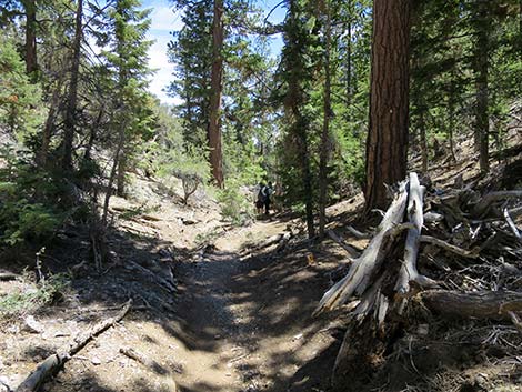
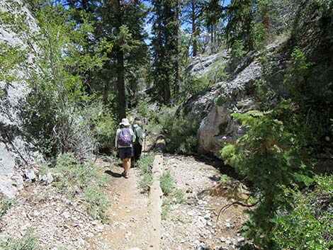
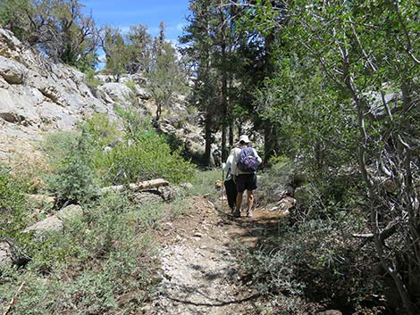
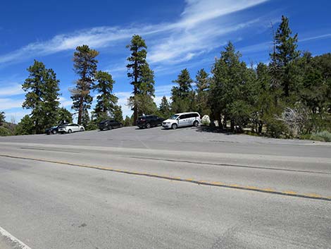
Getting to the Trailhead The trail is located up in the Spring Mountains National Recreation Area (generally referred to as Mt. Charleston) between Kyle and Lee Canyons, about 45 minutes northwest of Las Vegas. From town, drive out to the Spring Mountains Visitor Center, then continue up Deer Creek Road to the North Loop Trailhead. Continue north, over the crest of the hill and down to the first paved parking area on the right. If you get to Mahogany Flat Campground, you've gone too far. The Hike From the trailhead (Table 1, Waypoint 01), the Wildhorse Loop Trail runs southwest across Deer Creek Road and onto a narrow dirt road that was the original highway. On the dirt track, about halfway before it rejoins the pavement (Wpt. 02), the trail ducks through a thicket of Blue Elderberry and other shrubs to enter a hidden, narrow limestone canyon. |
 Car parked near start of the trail (view S) |
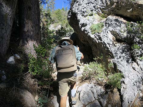
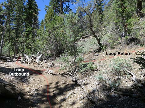
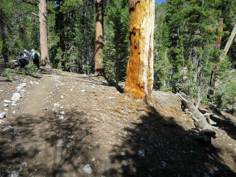
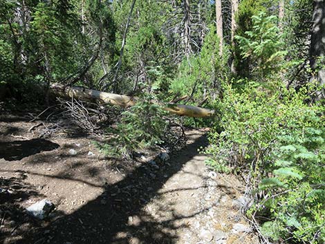
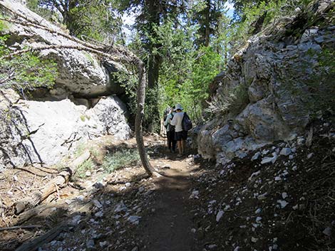
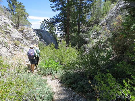
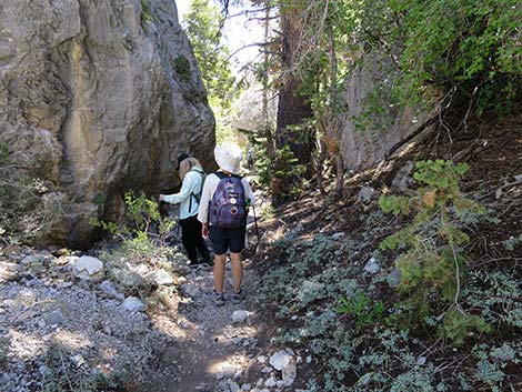
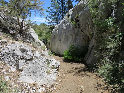
Passing through the thicket of bushes, hikers immediately enter a small, if magical, narrow limestone canyon shaded by conifer trees that provides habitat for sun-loving and shade-loving plants growing on the rock walls. The trail follows the bottom of the canyon up through a cleft in the rocks. Hiking up through this section, the limestone walls push in and spread out providing an interesting narrow-canyon experience for about 0.2 miles. Check to see if the Wild Currants are ripe! At about 0.25 miles out, the trail reaches a junction (Wpt. 03) where a trail, coming down the steep hillside on the right, is hard to see. This is where the Wildhorse Loop Trail begin the loop. On the way back down, hikers will rejoin the canyon-bottom trail here. For hikers who want to find the trail junction (Wpt. 03) on the way out, use the GPS coordinates or watch for a fallen tree with a large stump in the bottom of the canyon (see photos); the trail junction is shortly beyond this log. |
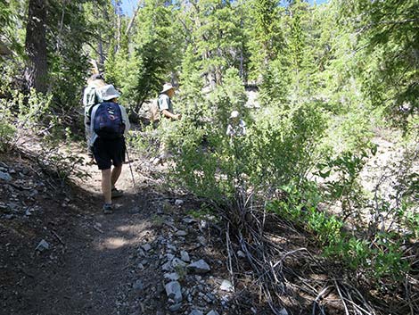
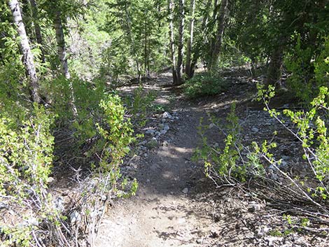
 The trail ducks through elderberry bushes into the canyon (view W) |
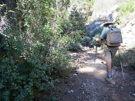
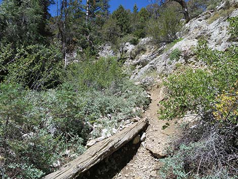
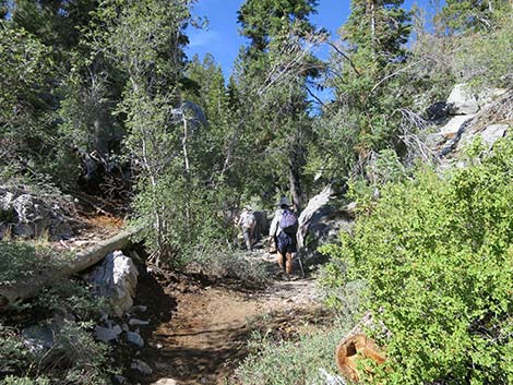
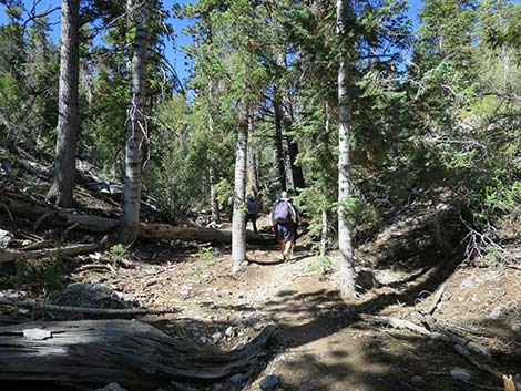
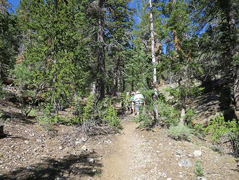
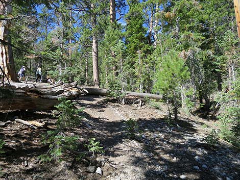
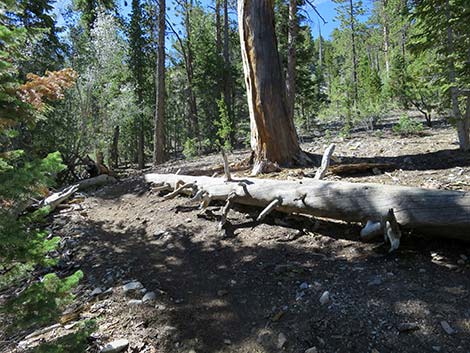
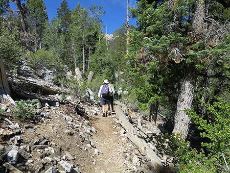
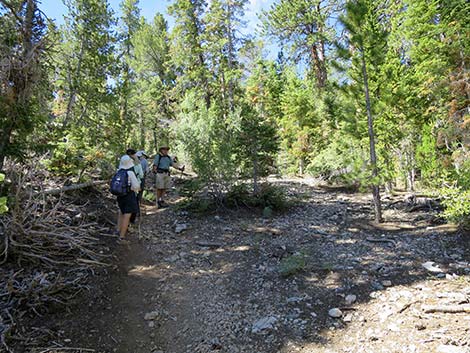
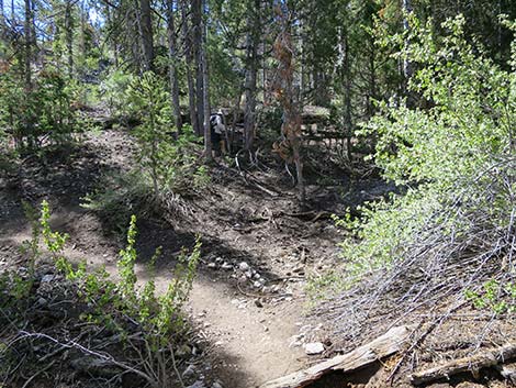
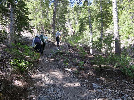
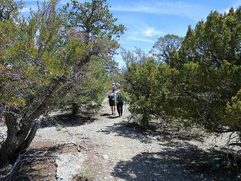
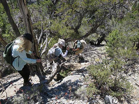
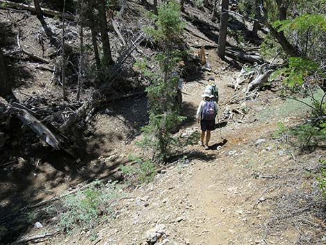
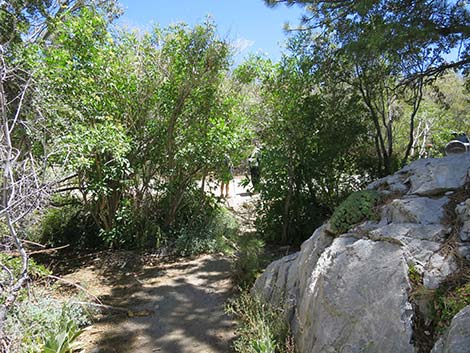
Beyond the trail junction, the canyon bottom widens and becomes more heavily forested. Most of the conifer trees in this area are Ponderosa Pine, the trees with the deeply furrowed red bark that smells of butterscotch. There are also White Fir and Rocky Mountain Maple in the area. Keen-eyed hikers might also find Bristlecone Pine growing at this unusually low elevation, and a few Rocky Mountain Juniper and Limber Pine too. The trail continues up the canyon, generally staying in the bottom of the canyon or just onto the south side. At about 0.49 miles out, the trail takes an odd jog to the left and climbs the hillside to bypass a large fallen tree. Past the fallen tree, the trail contours back into the canyon bottom. |
 Beyond the elderberry, hikers enter a narrow limestone canyon |
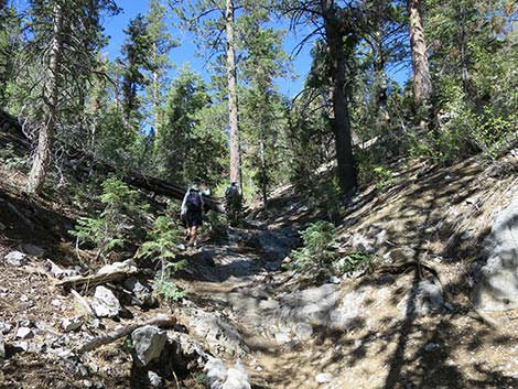
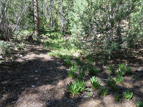
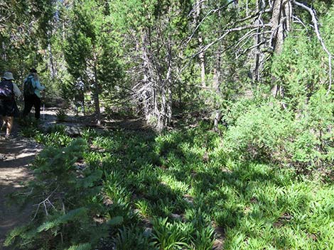
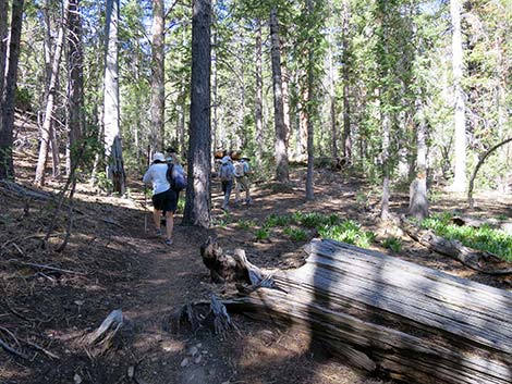
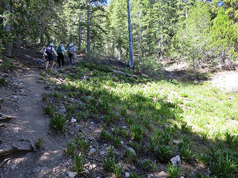
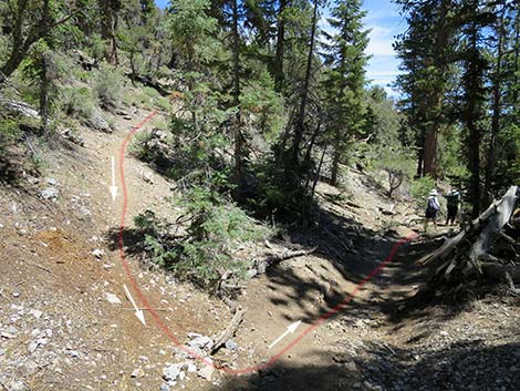
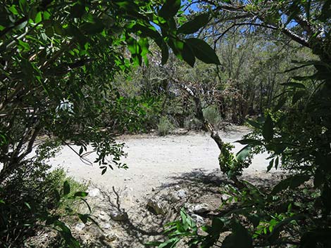
A bit farther along (about 0.56 miles out), the trail encounters the first of several seasonally wet meadow areas. These wet areas are recognized year-round by the presence of Scented Shootingstars and Western Columbines, and during the spring by flowing water when the snow is melting. These riparian species mostly bloom during late spring and early summer. The trail continues up the canyon staying on the south side of the wash, while occasionally climbing higher on the hillside before returning to the bottom of the canyon. At about 0.78 miles out (Wpt. 04), the trail exits the canyon bottom and starts climbing steeply up the south hillside generally following along another shallow gully. In this area (about 0.86 miles out), the Wildhorse Trail enters the Mt. Charleston Wilderness Area. |
 |
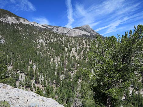
The steep trail arrives at the bottom of another meadow area (0.89 miles out), then in another 50 yards, arrives at an unmarked trail junction (Wpt. 05; 0.92 miles out). At the unmarked trail junction (Wpt. 05), the Wildhorse Loop turns right to run northwest across the slope, while the trail to the left climbs steeply to the southeast for about 1/4-miles to the Viewpoint on the North Loop Trail. Staying to the northwest on the Wildhorse Loop, the trail soon begins a broad, looping switchback to the left to briefly head southeast before bending back to the northwest again. From there, the trail generally traverses the hillside more-or-less on the contour but trending upward. Near the highpoint on this section of trail, hikers exit the Mt. Charleston Wilderness Area back into the regular part of the Spring Mountains National Recreation Area. Heading northwest and looking through the Ponderosa Pine and White Fir trees, a nearby rocky ridge comes into view: Wildhorse Ridge. |
 |
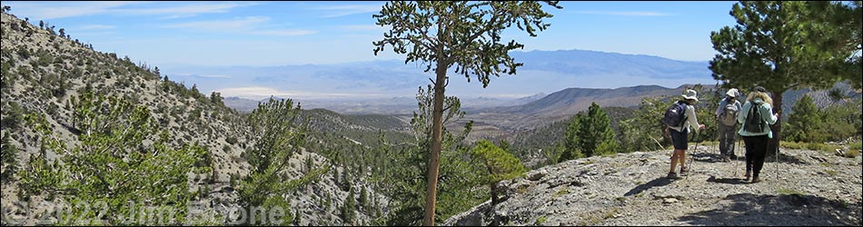
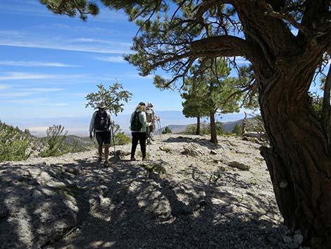
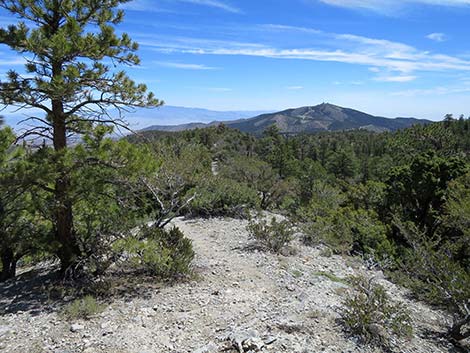
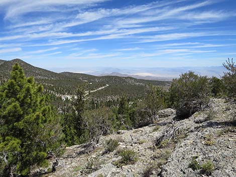
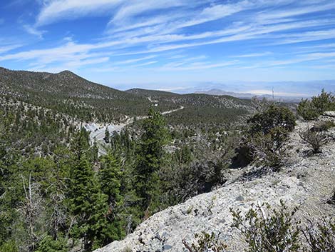
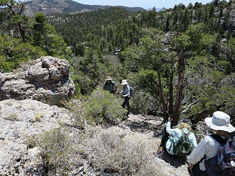
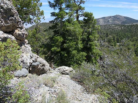
The trail drops gently into a shallow gully shaded by an enormous ponderosa pine, and under the pine, a log (Wpt. 06; 1.08 miles out) makes a shady place to stop for lunch on warm days. At this point, a little-used use-trail runs west, over the ridge, and eventually climbs to the Mummy Mountain East Trail a bit north of Mummy Spring. Wildhorse Trail continues past the enormous ponderosa pine and climbs at a moderate grade about 70 yards onto the rocky ridgeline (Wpt. 07; 1.12 miles out), which is Wildhorse Ridge. This highpoint, at about 9,000-ft elevation, would make for a good lunch spot on cool days. Views from Wildhorse Ridge, the highest point on the loop trail, are spectacular. The limestone cliffs of Mummy Mountain tower 2,500 feet above while the vast expanse of the desert stretches to the horizon some 6,000 feet below. The north side of the rocky ridge is a cliff that drops into Deer Creek Canyon. |
 A last bit of narrow limestone canyon |
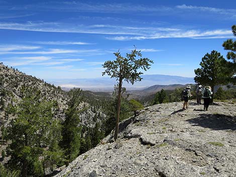
From the highpoint (Wpt. 07), the Wildhorse Loop turns east and starts to loop back towards the trailhead running atop the high, rocky ridge. The ridge is limestone, but a limestone conglomerate, which raises geologic questions about how it formed. Conglomerates are rocks formed from smaller rocks cemented together, and conglomerates form where smaller rocks accumulate, such as gravel in canyon bottoms and alluvial fans. It is possible that eons ago, this conglomerate was formed from gravels in a canyon bottom, but that after it formed, the original canyon walls eroded away leaving these canyon-bottom conglomerates now standing high above the surrounding canyons (Deer Creek Canyon and Wildhorse Canyon). While hiking down the ridge, notice the layered nature of the conglomerate, evidence of flowing water moving the gravels in a streambed. |
 The canyon begins to open |
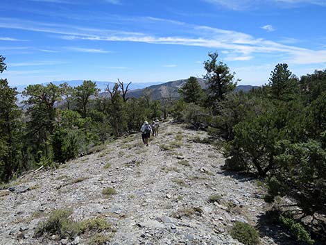
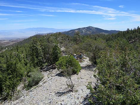
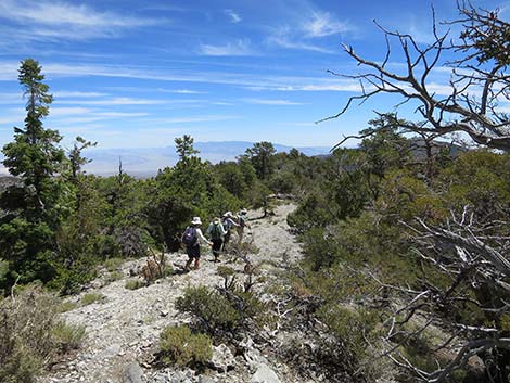
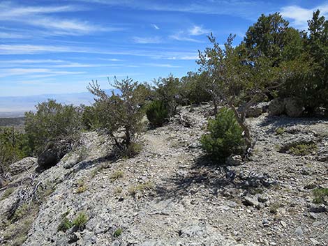
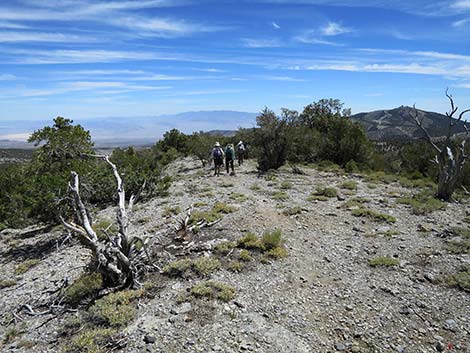
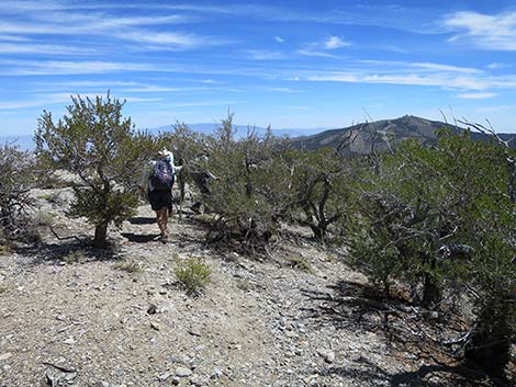
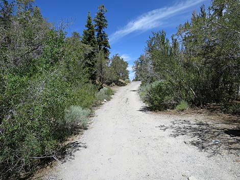
Continuing down Wildhorse Ridge, the trail stays atop the ridge with ever changing grand views all around. The trail winds through gaps in trees and shrubs growing on the ridge, but the vegetation is a curious collection. Growing on the ridgeline, high-elevation conifer species grow intermixed with lower elevation tree species. Being hot and dry with very poor soils, the environmental conditions here support Singleleaf Pinyon and Mountain Mahogany that usually are found far below. In addition, the full range of middle-elevation species occur here (Ponderosa Pine, Limber Pine, White Fir, and Rocky Mountain Juniper), plus there are even a few Bristlecone Pine that usually are found higher up on the mountain. The only species missing from this collection seem to be Utah Juniper (found below) and Common Juniper (found above). Continuing down Wildhorse Ridge, the trail stays atop the ridge. Initially, the descent is relatively steep, but lower down the ridge levels out. Eventually, however, the rocky ridgeline starts to run out. |
 Hikers passing more limestone outcrops |
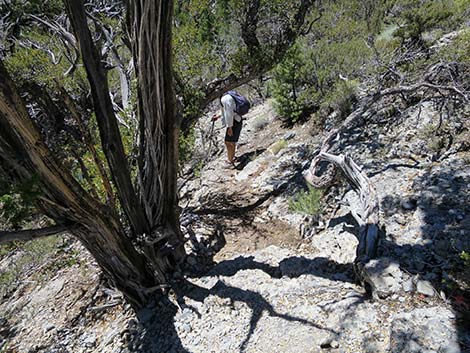
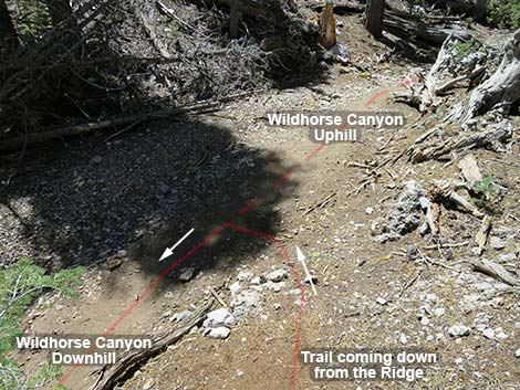
After about 0.67 miles atop the ridgeline, the crest of Wildhorse Ridge narrows and the trail is forced onto the southern slopes. Soon (about 50 yards), however, the trail returns to the top of the ridge. Then about 1.81 miles out, the trail is forced off the ridgetop (Wpt. 08) for a final time because Wildhorse Ridge is coming to an abrupt end. The trail drops very steeply off the south side on a rock and dirt trail heading southeast for about 50 feet, and although not particularly dangerous, hikers should use extra caution in this area. Below the very steep section, the trail bends left to descend northeastward on more gentle terrain. The trail, angling northeast, cuts around the cliffs that form the end of Wildhorse Ridge, but only briefly. At about 1.85 miles out, the Wildhorse Loop reaches an unmarked trail junction (Wpt. 09) just past a large White Fir. Wildhorse Loop turns right to return to Wildhorse Canyon, while the other trail continues straight into Deer Creek Canyon. |
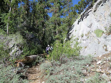 Hikers passing the last of the limestone outcrops |
After turning right at the trail junction (Wpt. 09), the loop trail traverses gentle terrain as it bends to the right and heads southwest back up into Wildhorse Canyon. The trail runs along a bench, then angles down towards the canyon bottom at a moderately steep grade. In the bottom of the canyon, the trail reaches a junction with the Wildhorse Trail (Wpt. 03; 1.96 miles out), closing the loop. Returning to the trailhead, hikers turn left and head down Wildhorse Canyon. The trail soon enters the limestone narrows, passes the Wild Currants, and breaks through the Blue Elderberry thicket onto the old highway track (Wpt. 02; 2.17 miles out). Turning left onto the dirt road, hikers soon return to the trailhead (Wpt. 01; about 2.22 miles total). Be sure to watch for vehicles racing on Deer Creek Road. |
 Not far past this log, the trail forks to form the loop |
 The fork cuts up the hillside to the right |
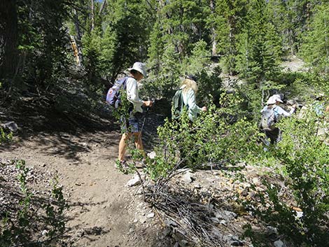
 Approaching the fork and start of the loop |
 Fork is not marked, so look for the trail on the hillside to the right |
 The trail crosses the last of the limestone in the canyon bottom |
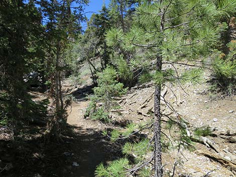
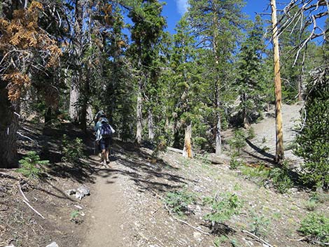
 Lots of trees and an easy-to-follow dirt trail |
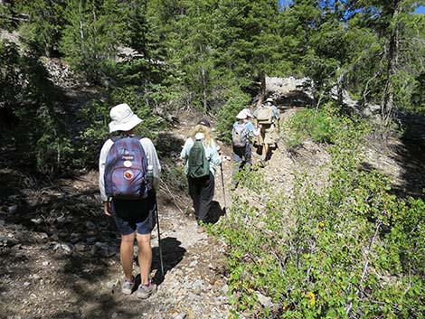
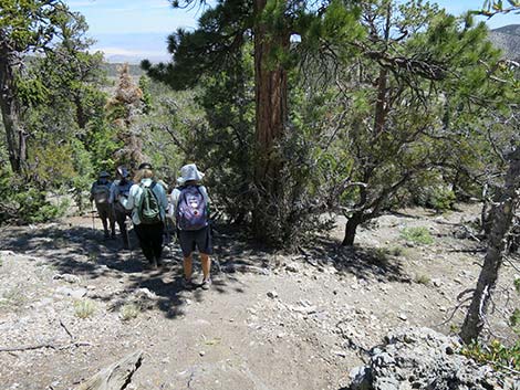
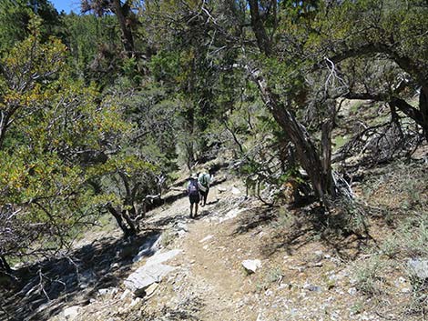
 Hikers on trail in canyon bottom |
 Hikers on trail in canyon bottom |
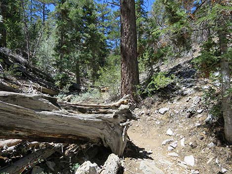
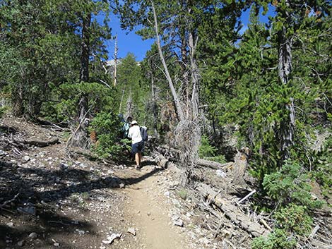
 Trail climbs to pass a long log |
 Passing the long log |
 The trail crosses the hillside back into the canyon bottom |
 The trail crosses the hillside back into the canyon bottom |
 A meadow area in the canyon bottom |
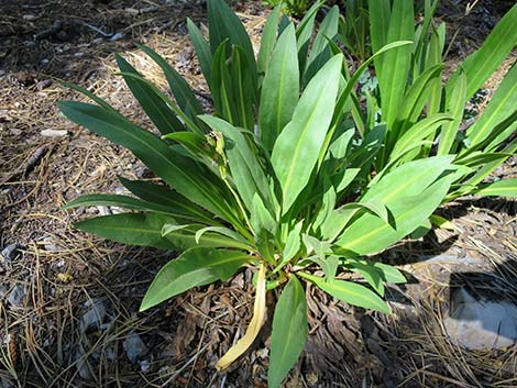
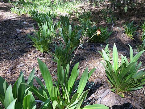 Scented Shootingstars and Western Columbine |
 The flowers are spent on this Scented Shootingstars |
 Trail follows along the meadow, which is seasonally wet |
 A new log across the trail: bypass to the left |
 Trail follows along the meadow, which is seasonally wet |
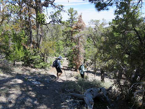
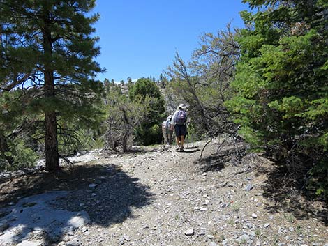
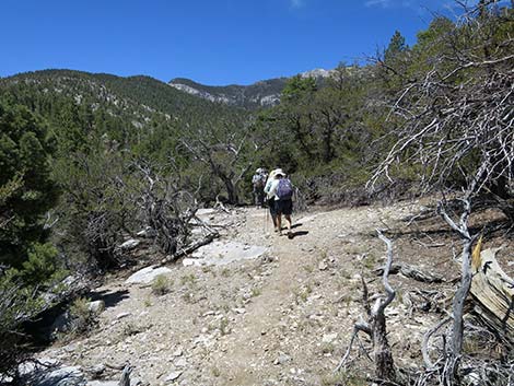
 Hikers on trail in the woods |
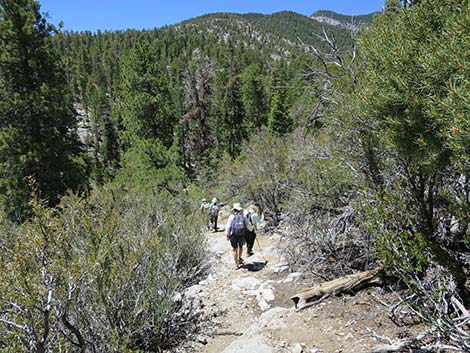
 Hikers on trail in the canyon bottom |
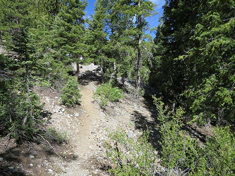
 The trail begins to leave the canyon bottom |
 Climbing onto the hillside to the left |
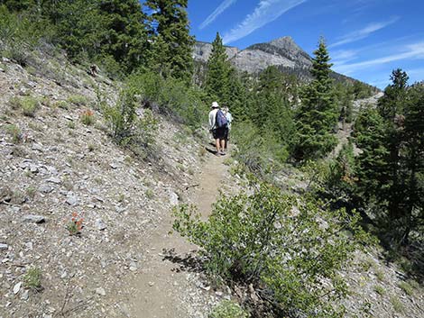
 The trail on the hillside starts out at moderate grade ... |
 ... but soon gets steep |
 Steep section of trail |
 Some parts are more gentle |
 Eventually it's all up hill |
 Steep section of trail |
 Steep section of trail |
 Steep section of trail following the edge of another meadow |
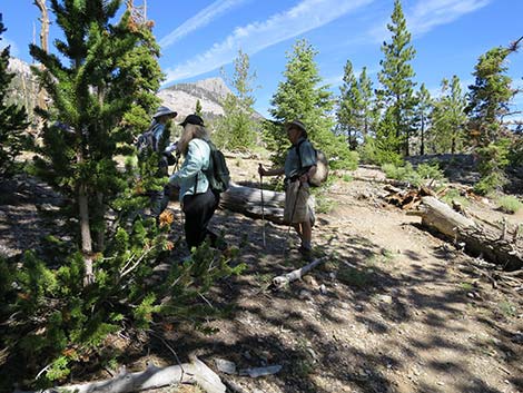
 Hikers arriving at a trail junction |
 Hikers at trail junction |
 Hikers turning right at trail junction |
 Hikers continuing on the Wildhorse Loop |
 The trail to the left climbs to the North Loop Trail |
 Looking back down the trail from the trail junction |
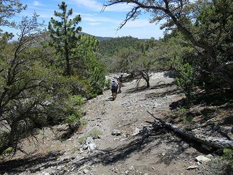
 The last of the steep sections |
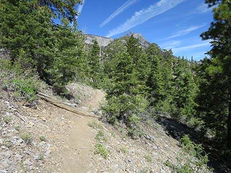
 Trail now climbs at moderate grades |
 Peaks in the distance come into view |
 Hikers stopping for a quick rest |
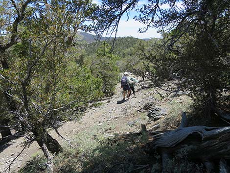
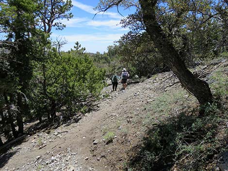
 Hikers traversing the hillside |
 The trail continues across the hillside |
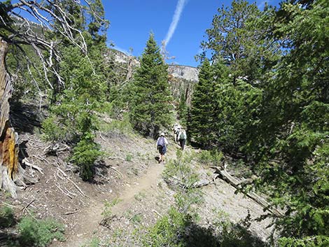 The trail continues across the hillside at gentle grades |
 Hikers passing an enormous Ponderosa Pine |
 Under the Ponderosa Pine, hikers find a nice log to sit and eat lunch |
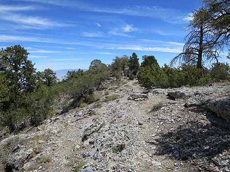
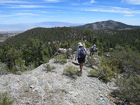
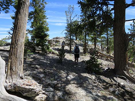 Hikers continuing on trail towards the crest of the rocky ridgeline |
 Hikers arriving at the highpoint on the crest of the rocky ridgeline |
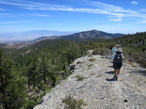
 Grand view up to Mummy Mountain (view W from highpoint) |
 Grand view up to Mummy Mountain (view NW from highpoint) |
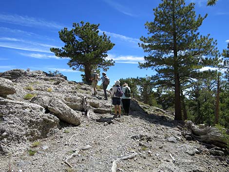
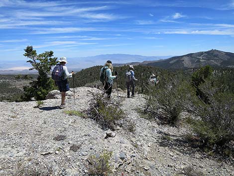
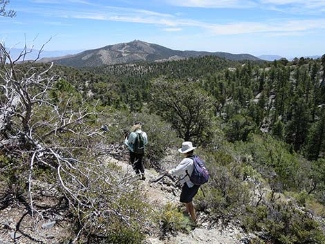
 Hikers starting down the ridgeline |
 Atop a cliff, but not a dangerous place |
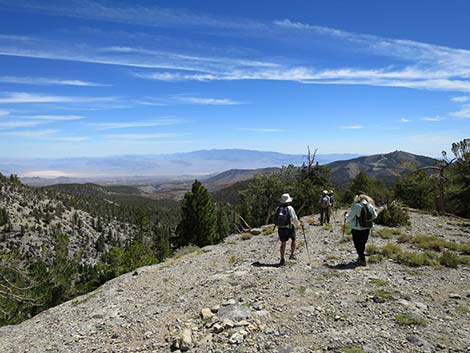 Hikers continuing down the ridge |
 |
 |
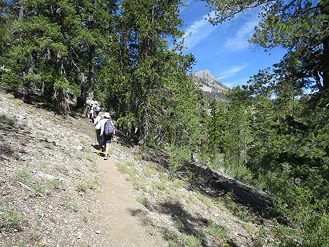
 Hikers continuing down the ridge |
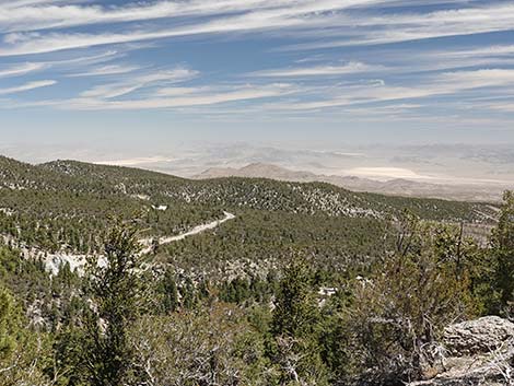
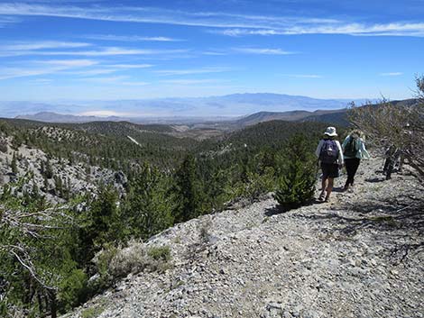 Grand views into the desert |
 |
 |
 |
 |
 |
 |
 |
 |
 Grand views into the desert Grand views into the desert |
 View out across the Nevada Test Site |
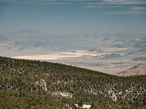 Forbidden lands on the Nevada Test Site |
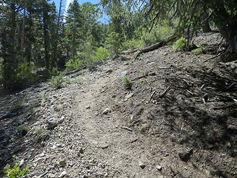
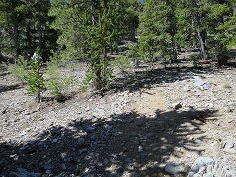
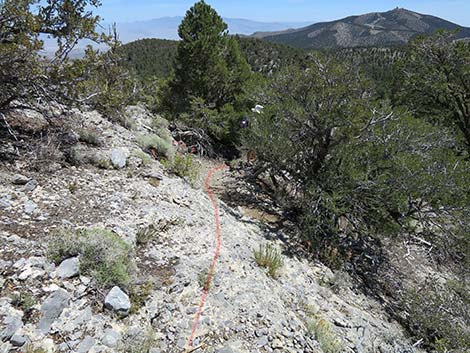
 Where there is dirt, the trail is apparent |
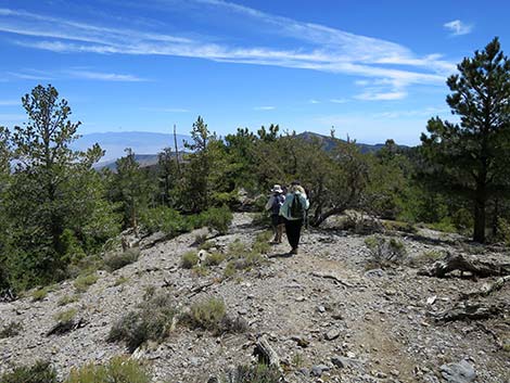
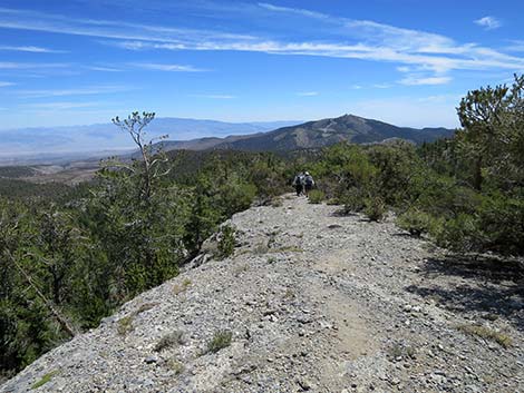
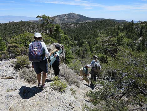
 Hikers continuing down the ridge |
 View down into the Deer Creek trailhead |
 |
 |
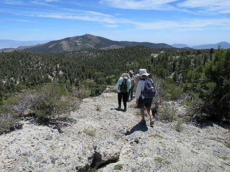 Hikers continuing down the ridge |
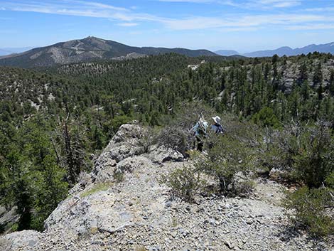 When ridgeline gets too narrow, hikers are forced onto the right side |
 Hikers angling onto the south side of the ridge |
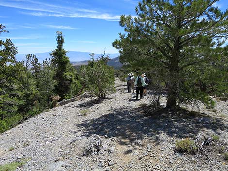
 The trail runs through bushes on the hillside |
 A bit of rock to traverse |
 Trail return to the ridge top for a few yards |
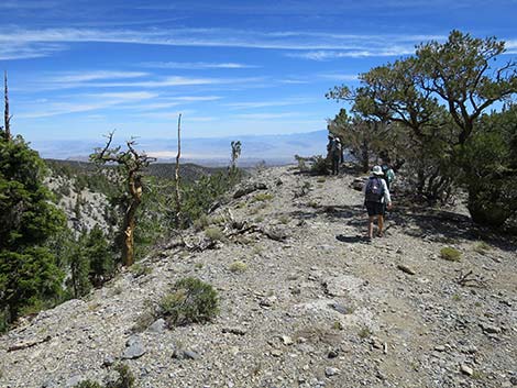
 Hikers forced onto rocky side slope |
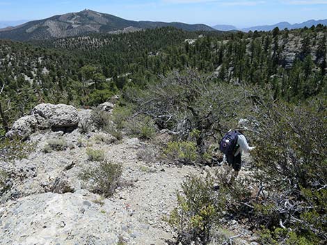
 Hikers working down through the rocks |
 Below the rocks, the steep trail cuts back to the right |
 Continuing straight is not a good way to go |
 The trail drops steeply to the right |
 More gentle |
 Below the cliffs, hikers approaching a trail junction |
 Hikers turning right at a trail junction |
 Trail forks: Wildhorse Trail turns right |
 Hikers continuing on Wildhorse Trail |
 Hikers heading south across side slopes Hikers heading south across side slopes |
 Traversing gentle terrain |
 Trail approaches Wildhorse Canyon |
 Cliffs force the trail to head back up Wildhorse Canyon |
 The trail continues up Wildhorse Canyon |
 Beyond the cliffs below, trail begins dropping into Wildhorse Canyon |
 Trail begins dropping into Wildhorse Canyon |
 Trail approaching the bottom of Wildhorse Canyon |
 Hikers arriving in the bottom of Wildhorse Canyon |
 Trail junction in the bottom of Wildhorse Canyon |
 Hikers starting down Wildhorse Canyon |
 Trail continues down Wildhorse Canyon |
 Trail continues down Wildhorse Canyon |
 Hikers entering the Wildhorse Canyon narrows |
 |
 |
 |
 |
 |
 |
 Wildhorse Canyon Trail approaching the dirt parking area |
 The trail ducks under bushes |
 Wildhorse Canyon Trail back at the dirt parking area |
 Hiker continuing towards the pavement |
 Hiker approaching the pavement |
 Return to the paved trailhead |
Table 1. Hiking Coordinates Based on GPS Data (NAD27; UTM Zone 11S). Download Hiking GPS Waypoints (*.gpx) file.
| Wpt. | Location | UTM Easting | UTM Northing | Elevation (ft) | Point-to-Point Distance (mi) | Cumulative Distance (mi) |
|---|---|---|---|---|---|---|
| 01 | Wildhorse Trailhead | 624311 | 4019150 | 8,405 | 0.00 | 0.00 |
| 02 | Depart Dirt Road | 624323 | 4019079 | 8,368 | 0.05 | 0.05 |
| 03 | Trail Junction | 624082 | 4018922 | 8,523 | 0.20 | 0.25 |
| 04 | Trail Departs Canyon Bottom | 623456 | 4018548 | 8,780 | 0.49 | 0.74 |
| 05 | Trail Junction | 623368 | 4018390 | 8,911 | 0.19 | 0.93 |
| 06 | Lunch | 623174 | 4018473 | 8,977 | 0.16 | 1.09 |
| 07 | Wildhorse Loop Highpoint | 623206 | 4018527 | 9,000 | 0.04 | 1.13 |
| 08 | Trail Leaves Ridgetop | 624076 | 4019025 | 8,637 | 0.69 | 1.82 |
| 09 | Trail Junction | 624095 | 4019039 | 8,594 | 0.03 | 1.85 |
| 03 | Trail Junction | 624082 | 4018922 | 8,523 | 0.11 | 1.96 |
| 02 | Depart Dirt Road | 624323 | 4019079 | 8,368 | 0.21 | 2.17 |
| 01 | Wildhorse Trailhead | 624311 | 4019150 | 8,405 | 0.05 | 2.22 |
Happy Hiking! All distances, elevations, and other facts are approximate.
![]() ; Last updated 240329
; Last updated 240329
| Hiking Around Mt Charleston | Hiking Around Las Vegas | Glossary | Copyright, Conditions, Disclaimer | Home |