Hiking Around Las Vegas, Red Rock Canyon National Conservation Area
 Lone Grapevine Spring |
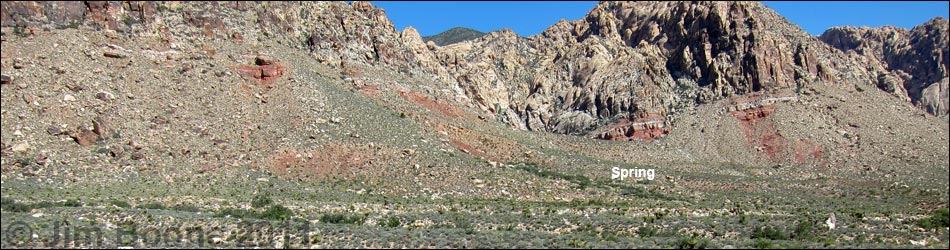
Overview This fairly easy trail runs about 0.5 miles to a spring with oak trees, birds, and petroglyphs tucked against the base of sandstone cliffs at the south end of the Red Rock Escarpment. The trail generally runs through diverse vegetation typical of the Mojave Desert Scrub habitat type, and during the hike, the sandstone cliffs, which are inside the Rainbow Mountain Wilderness Area, loom higher and higher, eventually dominating the landscape as hikers draw near the springs. Presented here are photos of the return. For a full description of the hike, included directions, photos, GPS coordinates, and a map, see Lone Grapevine Spring. |
 Departing the spring area (view SE) |
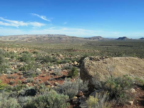 Grand views across Cottonwood Valley (view E) |
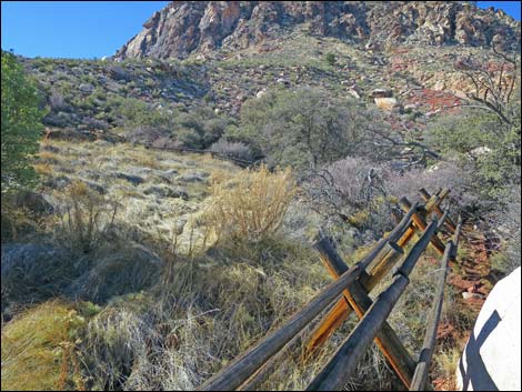
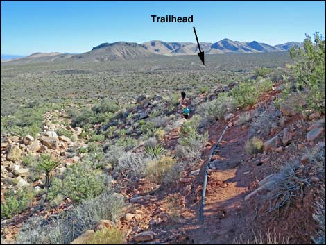 Trail starts down following the water pipe (view SE) |
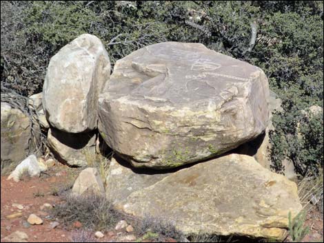 Missed this petroglyph on the way up |
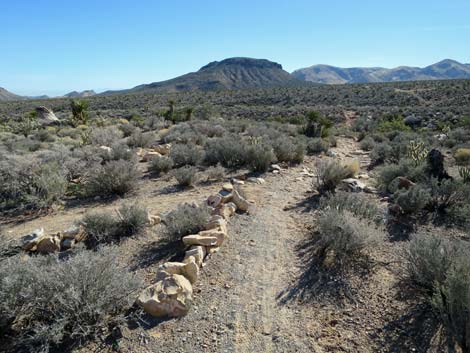
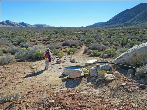 Hiker returning to the watering troughs (view S) |
 Fork in the trail; stay left (view S) |
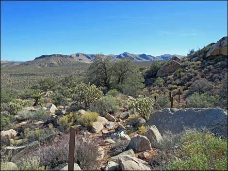
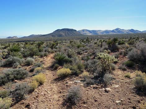 Crossing desert flats (view SE) |
 Trail merges from the left (view SE) |
 Trail drops to cross a ravine (view S) |
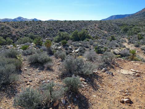 Dropping towards another ravine (view S) |
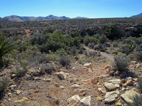
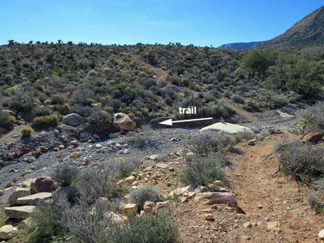 Approaching a gravel wash; trail turns left (view S) |
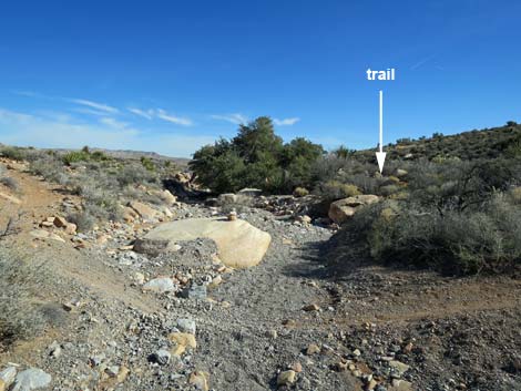 Trail turns down wash; passes right of trees (view E) |
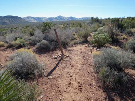
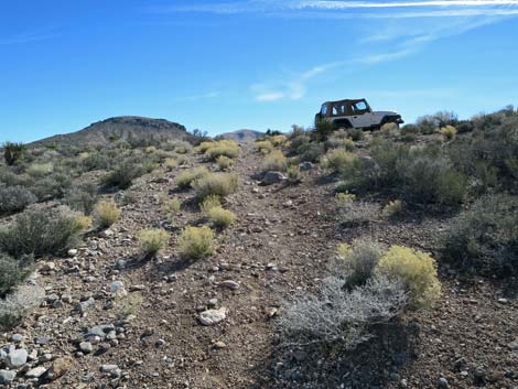 Approaching the trailhead (view E) |
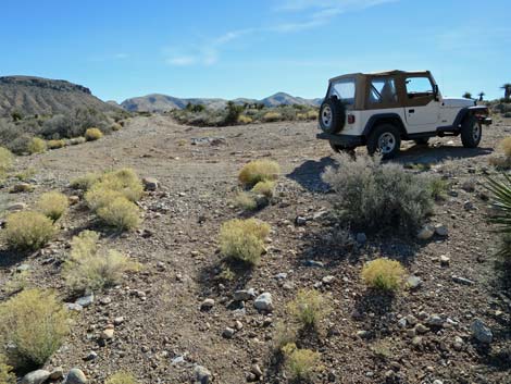 Arriving at the trailhead (view E) |
Happy Hiking! All distances, elevations, and other facts are approximate.
![]() ; Last updated 240330
; Last updated 240330
| Hiking Around Red Rocks | Hiking Around Las Vegas | Glossary | Copyright, Conditions, Disclaimer | Home |