Backroads Around Las Vegas, Red Rock Canyon National Conservation Area
 West Charleston Blvd approaching Moenkopi Road (view SW) |
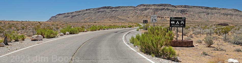
Overview Moenkopi Road (aka Campground Road) is a paved road that runs about 1.15 miles from West Charleston Blvd (Highway 159) to Moenkopi Campground (aka Red Rocks Campground). The road provides access to Moenkopi Trailhead, the BLM Fire Station, and the campground. Otherwise, parking is not allowed along this road. Moenkopi Road is located inside Red Rock Canyon NCA, but not in the Scenic Loop Road fee area, so access to Moenkopi Trailhead is free. Link to Road Map. |
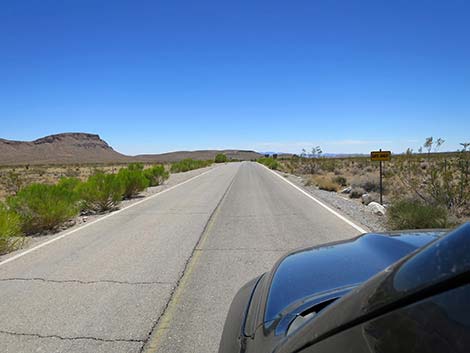
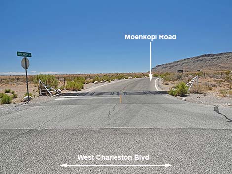 Moenkopi Road (view S from W Charleston Blvd) |
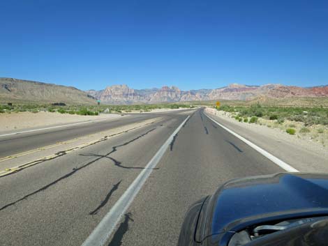
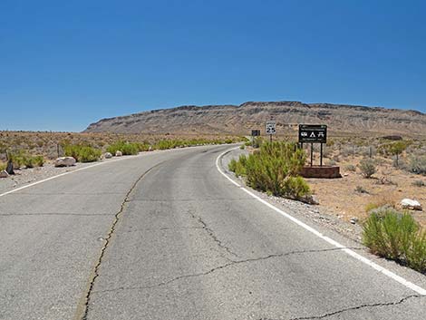
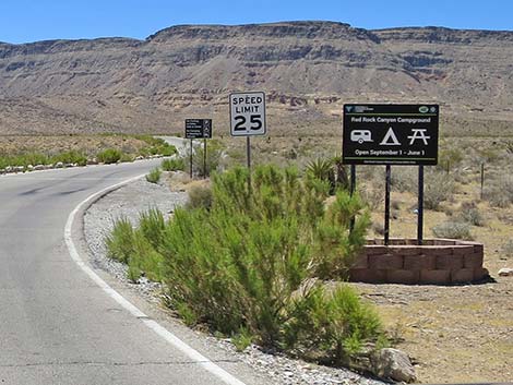
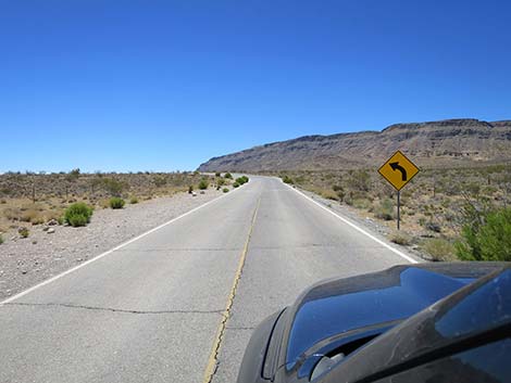
Other than the standard warnings about driving in the desert, ...this is a fairly safe drive except that there are sharp curves, pedestrians, bicycles, small animals, horses, and seemingly blind drivers. The maximum speed limit is 25 mph. Drive slowly and enjoy the view. While out, please respect the land and the other people out there, and try to Leave No Trace of your passage. Also, even though this road is short, be sure to bring what you need of the 10 Hiking Essentials. Getting to Moenkopi Road From Las Vegas, drive out to Red Rock Canyon National Conservation Area. Traveling west on West Charleston Blvd, drivers pass the "Welcome to Red Rock Canyon" photo-op sign on the right, and then in about 0.95 miles, reach Moenkopi Road (Table 1, Site 0995) on the left. Watch for a street sign and campground signs. Note that Moenkopi Road is about 1.9 miles east of (before) the Scenic Loop Road entrance. |
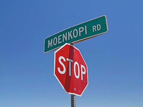 Moenkopi Road street sign (view NE) |
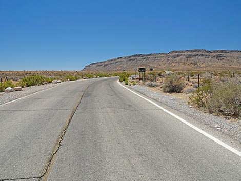
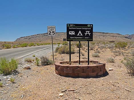
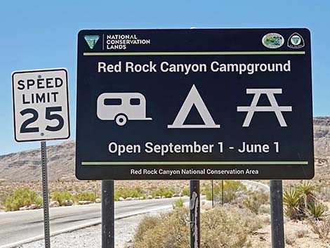
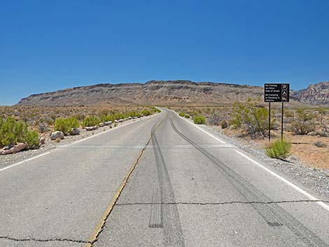
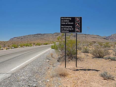
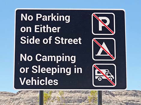
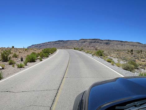
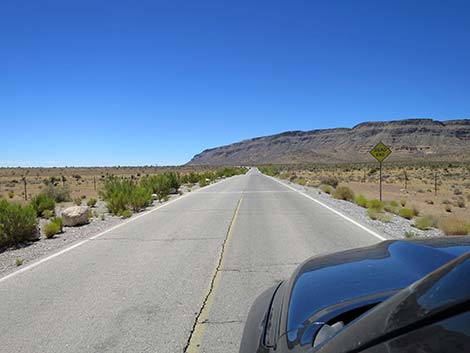
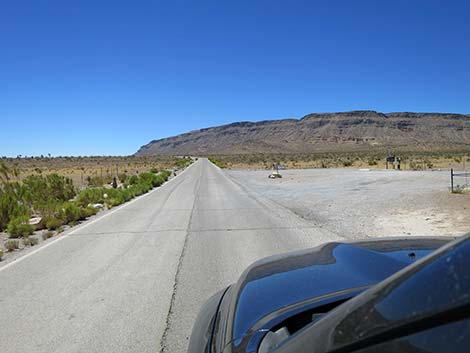
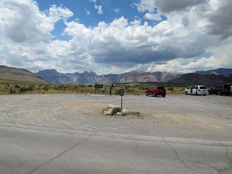
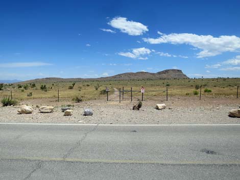
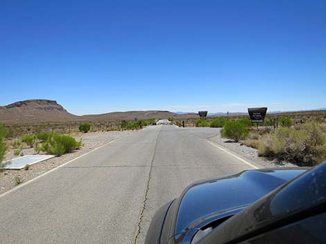
The Road From West Charleston Blvd (Site 0995), Moenkopi Road crosses a cattle guard and runs south past a large campground sign and an information sign, which basically says "no parking" and "no camping" along the road. Continuing, Moenkopi Road bends left and runs up over a low ridge that presents views across broad desert flats. Both sides of the road in this area are crisscrossed with pleasant, mostly flat, hiking trails. Shortly Moenkopi Road arrives at Moenkopi Trailhead (Site 0996) with parking on the right (west side). Gaps in the highway fence on both sides of Moenkopi Road provide access to the trail system here. Continuing, Moenkopi Road bends left and runs up over another low ridge to present more broad views. A building complex, visible to the right, is the BLM Fire Station. |
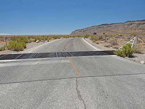 Moenkopi Road starts at a cattle guard (view S) |
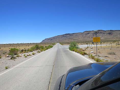
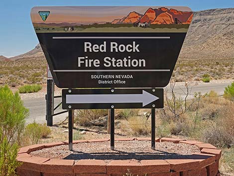
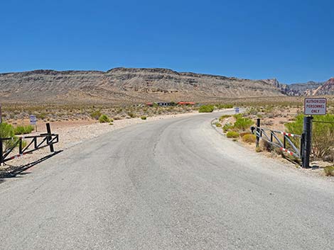
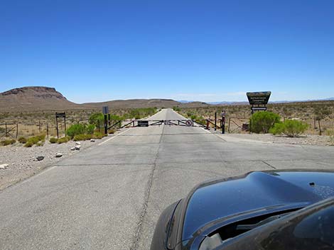
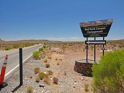
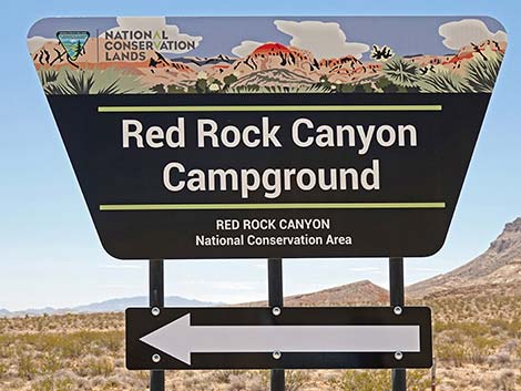
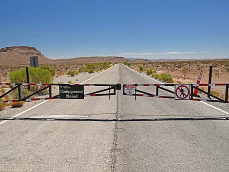
Soon, Moenkopi Road arrives at an intersection (Site 0997) where the Fire Station Road branches to the right. The intersection is marked with a large Fire Station sign and a plethora of signs basically saying "keep out." Regardless, if I had an emergency, I'd drive right in. Continuing straight at the intersection (Site 0997), Moenkopi Road is marked with a large campground sign. During summer, when the campground is closed, a gate blocks the road and suggest that the area is closed to hikers. There are several trails back in that area, so I'm not sure what, exactly, the sign means. During winter, the road continues south across high, flat country to the edge of drop-off from which the campground area is visible on the flats below. The road drops steeply and soon arrives at the entrance (Site 0998) to the group campsites, on the left. Continuing across flat ground, the main campground is on the right, and soon the road ends at the main campground entrance (Site 1977), which is at the far edge of the campground. Signs and campground personnel discourage people from driving through the campground (Site 0351) just to see the facility. |
 |
 |
 |
 |
 |
 |
 |
 |
 |
 |
 |
 |
 Campground Trailhead parking (view W from Moenkopi Road) |
 Eastbound Campground Trailhead (view E from Moenkopi Road) |
 |
 |
 |
 |
 |
 |
 |
 |
 |
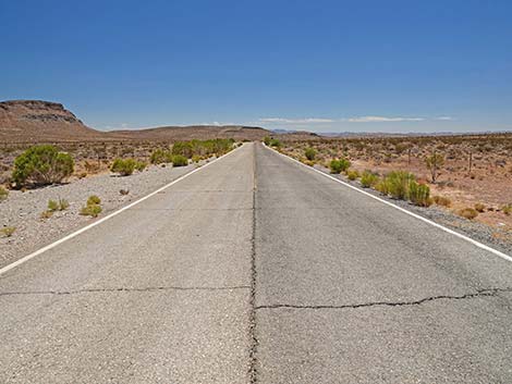 |
Table 1. Highway Coordinates based on GPS data (NAD27; UTM Zone 11S). Download Highway GPS Waypoints (*.gpx) file.
| Wpt. | Location | Latitude (N) | Longitude (W) | Elevation (ft) | Point-to-Point Distance (mi) | Cumulative Distance (mi) |
|---|---|---|---|---|---|---|
| 0995 | Hwy 159 at Moenkopi Rd | 36.14393 | 115.39111 | 3,404 | 0.00 | 0.00 |
| 0996 | Moenkopi Rd at Moenkopi Trailhead | 36.13974 | 115.39229 | 3,445 | 0.30 | 0.30 |
| 0997 | Moenkopi Rd at Fire Stn Rd | 36.13627 | 115.39021 | 3,486 | 0.29 | 0.59 |
| 0998 | Moenkopi Road at Group Camp Road | 36.13191 | 115.38453 | 3,365 | 0.45 | 1.04 |
| 1977 | Moenkopi Road at Campground Entrance | 36.13049 | 115.38275 | 3,384 | 0.11 | 1.15 |
| 0351 | Red Rock Campground | 36.12950 | 115.38475 | 3,326 | 0.13 | 1.28 |
Happy Hiking! All distances, elevations, and other facts are approximate.
![]() ; Last updated 240330
; Last updated 240330
| Backroads | Hiking Around Las Vegas | Glossary | Copyright, Conditions, Disclaimer | Home |