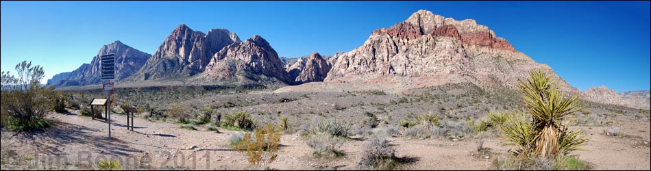
Hiking Around Las Vegas, Red Rock Canyon National Conservation Area
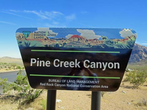 Pine Creek Canyon Trailhead road sign (view S) |
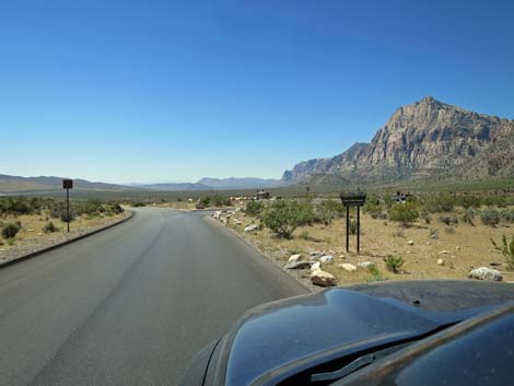
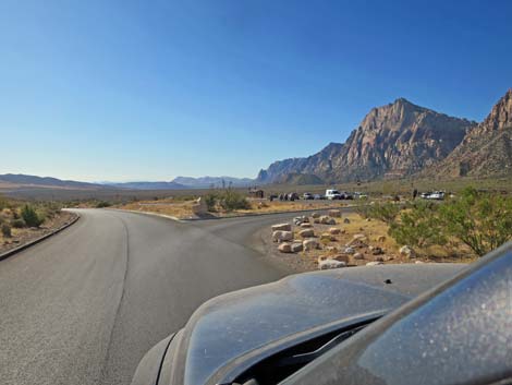
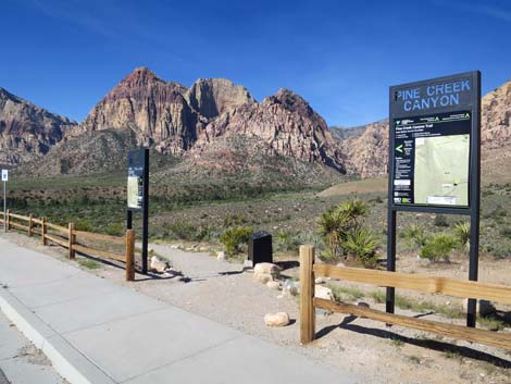
Pine Creek Trailhead is hike is located in Red Rock Canyon National Conservation Area, about 40 minutes west of Las Vegas, in the Scenic Loop Road fee area. This is a large, paved parking area with restrooms. From town, drive out to Red Rocks. From West Charleston Blvd at the Scenic Loop Road (Table 1, Site 0519), turn right and drive north for 0.2 miles to the entrance station (Site 0855). Pay the fee, then drive around the one-way Scenic Loop Road to Pine Creek Overlook Road (Site 0875), which is at Mile Marker 10.7 (0.7 miles past Mile Marker 10). Turn right onto Pine Creek Overlook Road and drive west for 0.1 miles to the parking area (Site 0529). The parking area is designed as a loop road with most of the parking inside the loop. Pay attention to painted arrows on the pavement to follow the traffic flow. Park here; this is the trailhead. The Pine Creek Trailhead provides access to hikes in the Pine Creek Canyon area, including access to the Escarpment, Fire Ecology Trail, and many miles of easy to strenuous hiking. Trails: Pine Creek Canyon Trail, Fire Ecology Trail, Pine Creek Loop Trail, Dales Trail, Escarpment Trail, Knoll Trail, Arnight Trail. Link to trailhead map. |
 Scenic Loop Road approaching Pine Creek Canyon Trailhead (view S) |
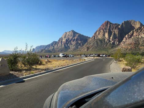
 Scenic Loop Road approaching Pine Creek Road (view S) |
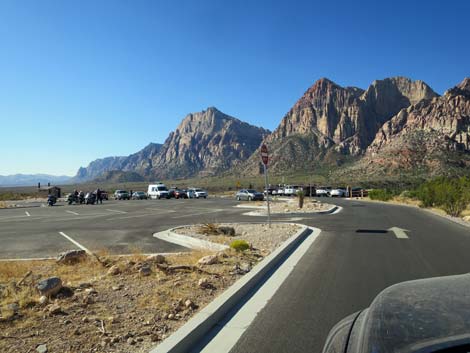
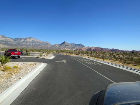
 Turning into Pine Creek Road (view S) |
 Pine Creek Road (view S) |
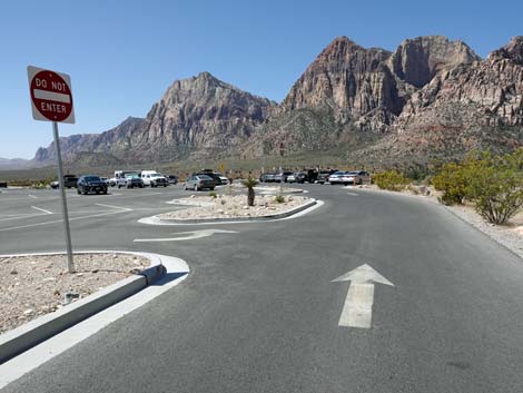 Pine Creek Road (view S) |
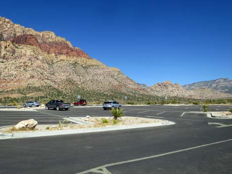
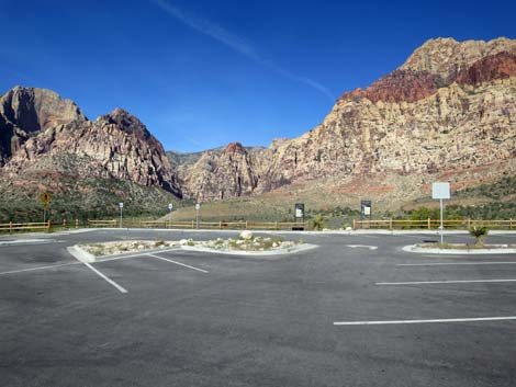
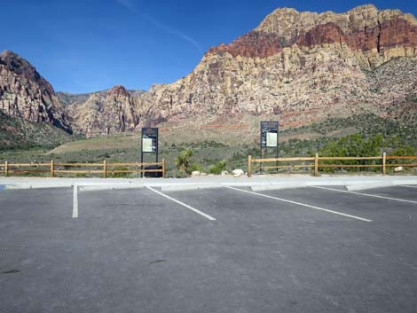
 Trailhead parking area during mid-summer (view S) |
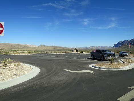
 Pine Creek Road (view S) |
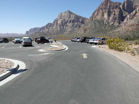
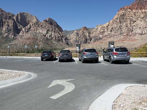
 Pine Creek Road entering the trailhead parking area (view S) |
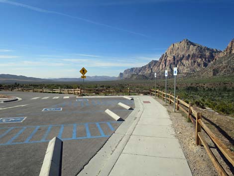
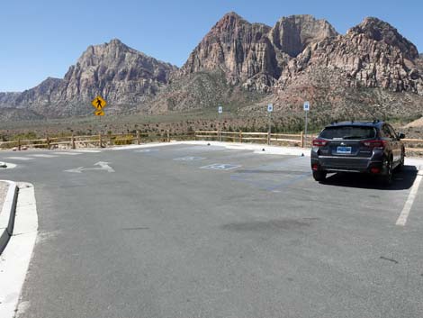 Accessible parking at end of general parking (view SW) |
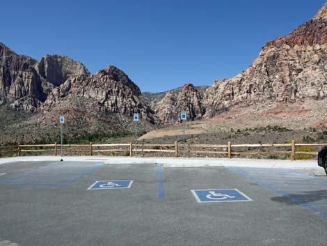 Accessible parking (view W) |
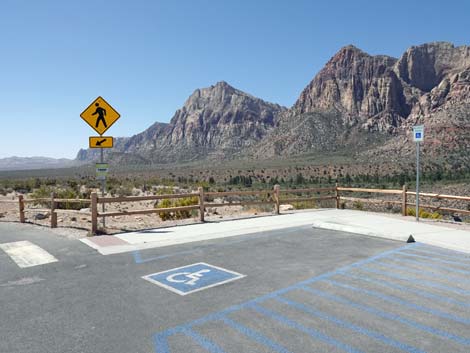 Accessible parking (view SW) |
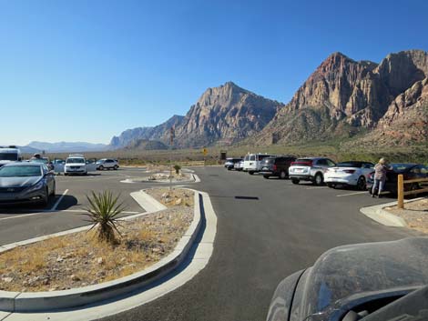
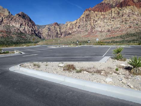
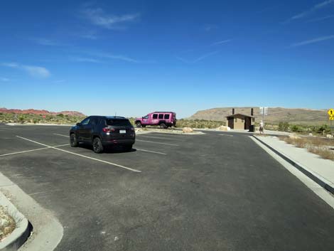 Parking area during mid-summer (view E) |
 Parking area during mid-summer (view NE) |
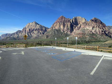 Reserved parking spaces (view SW) |
 Reserved parking spaces (view S) |
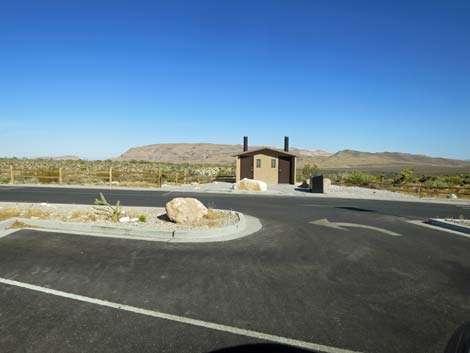 Pine Creek Canyon Trailhead vault toilets (view E) |
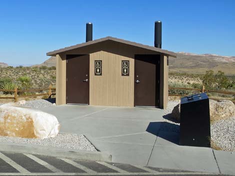 Pine Creek Canyon Trailhead vault toilets (view E) |
 Parking area during mid-summer (view W from vault toilets) |
 Parking area during mid-summer (view NW from vault toilets) |
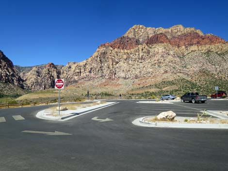
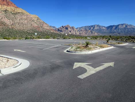
 Departing the trailhead parking area (view NE) |
 Vehicles can turn back into the parking spaces (view N) |
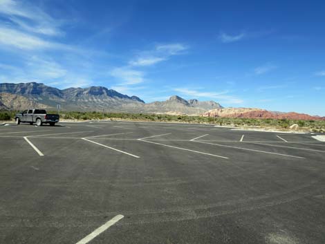
 Parking spaces (view W) |
 Parking spaces (view W) |
 Exiting the parking spaces back onto the loop road (view W) |
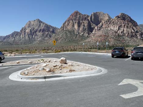 Exiting the parking spaces back onto the loop road (view SW) |
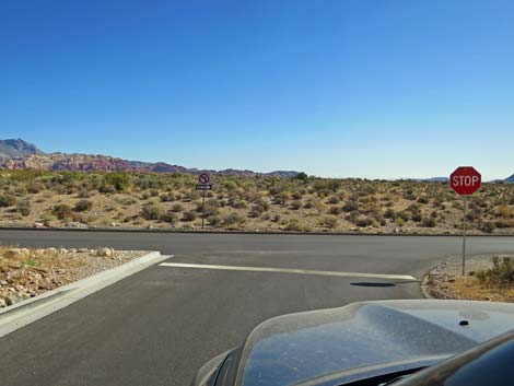 Exiting trailhead parking onto Scenic Loop Road (view NE) |
 Trailhead signs (view W) |
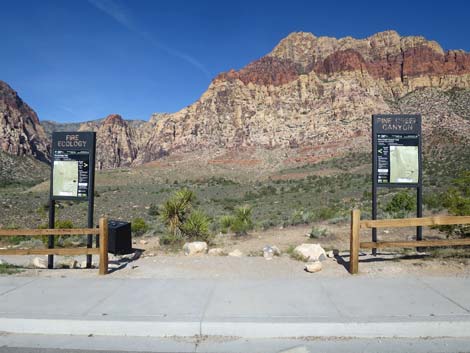 Trailhead signs (view W) |
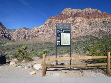 Pine Creek Canyon Trailhead sign (view W) |
 Pine Creek Canyon Trailhead sign (view W) |
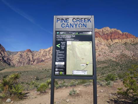 Pine Creek Canyon Trailhead sign (view W) |
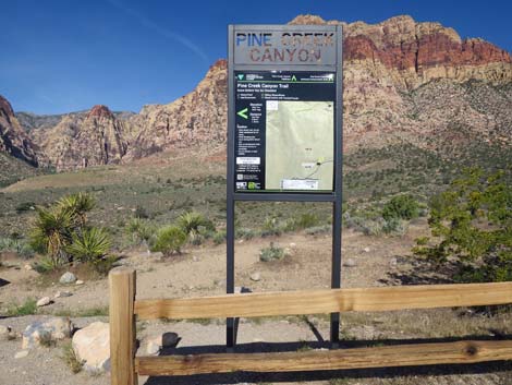
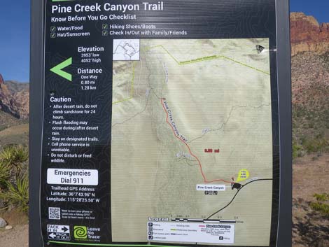 Pine Creek Canyon Trailhead map (view W) |
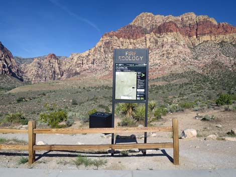 Fire Ecology trailhead sign (view W) |
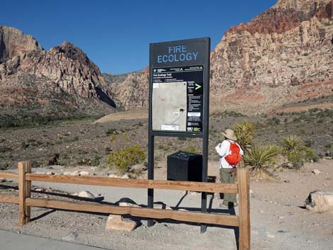 Fire Ecology trailhead sign (view W) |
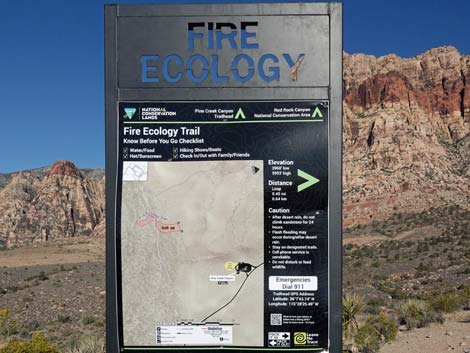 Fire Ecology trailhead sign (view W) |
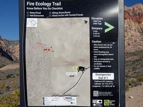 Fire Ecology trailhead map (view W) |
 Beginning of Pine Creek Canyon and Fire Ecology trails (view SW) |
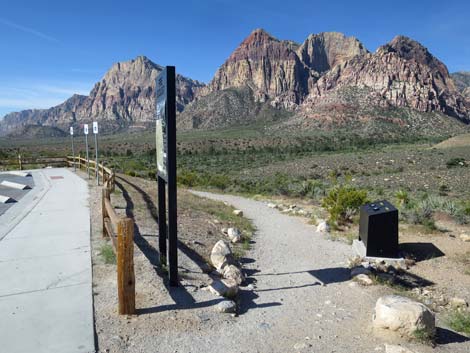 Beginning of Pine Creek Canyon and Fire Ecology trails (view SW) |
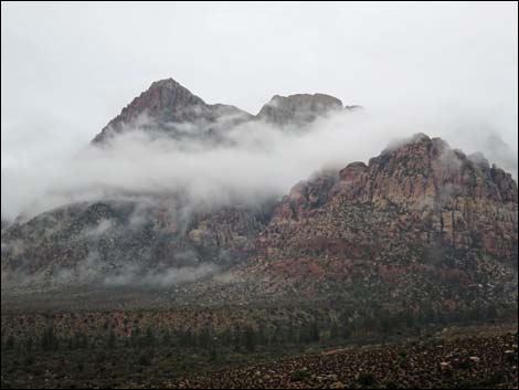 Stormy day at Pine Creek Trailhead (view SW) |
 Stormy day at Pine Creek Trailhead (view SW) |
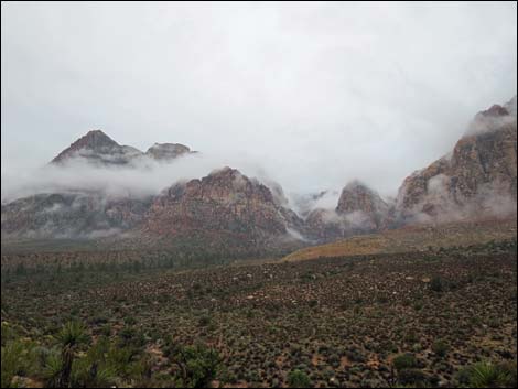
 Stormy day at Pine Creek Trailhead (view W) |
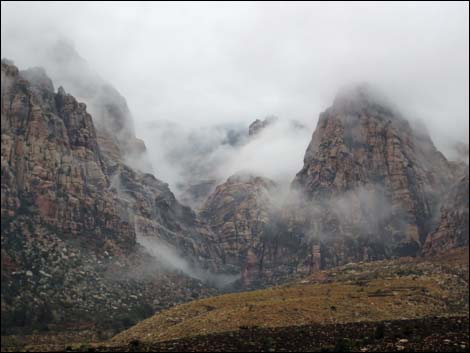
 Stormy day at Pine Creek Trailhead (view NW) |
Table 1. Highway Coordinates (NAD27; UTM Zone 11S). Download Highway GPS Waypoints (*.gpx) file.
| Site # | Location | Latitude (N) | Longitude (W) | UTM Easting | UTM Northing | Elevation (feet) | Verified |
|---|---|---|---|---|---|---|---|
| 0519 | Charleston at Scenic Loop Entrance | 36.13161 | 115.42048 | 642131 | 3999501 | 3,681 | Yes |
| 0529 | Pine Creek Trailhead | 36.12883 | 115.47290 | 637418 | 3999117 | 4,075 | Yes |
| 0855 | Scenic Loop Entrance Station | 36.13252 | 115.42282 | 641918 | 3999598 | 3,682 | Yes |
| 0875 | Scenic Loop Rd at Pine Creek Rd | 36.12959 | 115.47238 | 637463 | 3999202 | 4,061 | Yes |
Happy Hiking! All distances, elevations, and other facts are approximate.
![]() ; Last updated 240330
; Last updated 240330
| Hiking Around Red Rocks | Hiking Around Las Vegas | Glossary | Copyright, Conditions, Disclaimer | Home |