Backroads Around Las Vegas
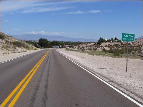 Alamo city limit sign (view N) |
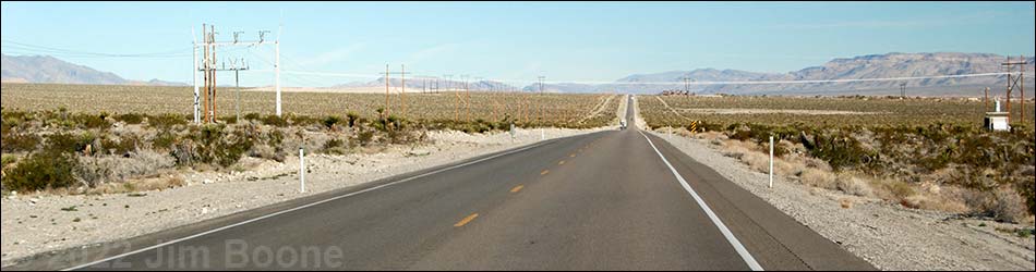
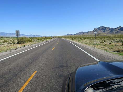
Overview U.S. Highway 93 isn't really a "backroad," but it provides access to many of the places and backroads we love. The highway is long and mostly straight, with a speed limit of 70 mph. Gas, food, and supplies are scattered along at intervals of about 80-100 miles as the highway runs north through eastern Nevada. Highway 93 provides access to hikes in the Arrow Canyon Range, Desert National Wildlife Range, Pahranagat National Wildlife Refuge, various Wilderness areas, plus access to some amazing rock art sites in Lincoln County and even a nice trilobite quarry. Excellent birding opportunities can be found in the Pahranagat National Wildlife Range and Key-Pittman Wildlife Management Area. Link to Road Map. |
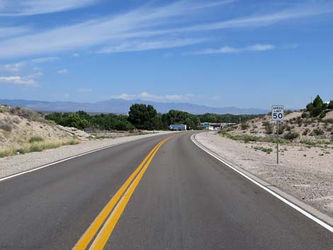 Watch the speed -- 50 mph through Alamo (view NW) |
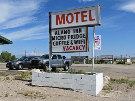
U.S. Highway 93 from Alamo to Highway 318 For details of getting to this point from Las Vegas, see U.S. Highway 93 Northbound -- Highway I-15 to Alamo. Although small, Alamo is a full-service town where travelers can find everything they need, except perhaps open wifi. The gas station includes the typical mini-mart with clean restrooms, but also a full grocery store with some hot food. A bit farther up the highway, the Alamo Inn (sign only says "motel") is located on the left. Continuing north, the highway passes a Girl Scout Camp, and shortly thereafter, South Richardville Road (Site 1119), a left turn onto a paved road. South Richardville leads to The Shooting Gallery, a wonderful rock art site high up in the mountains to the west. |
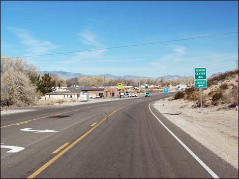 Approaching Alamo business district (view N) |
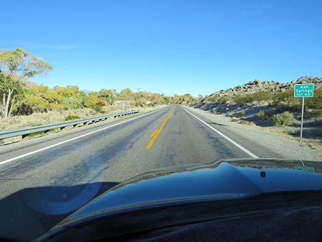
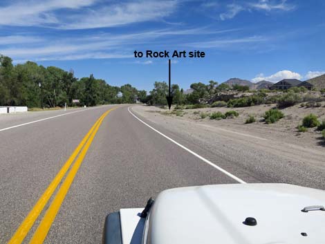
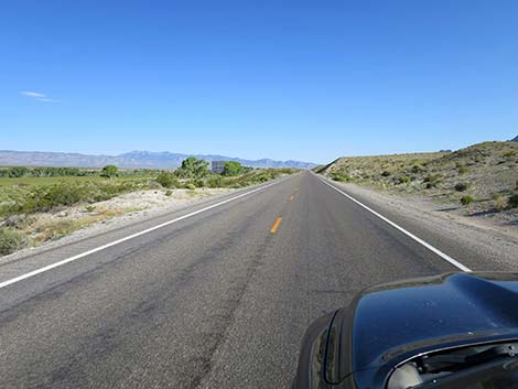
Shortly, the highway passes Windmill Ridge, a place that used to have a restaurant with a wonderful bakery and a few motel cabins out back. It closed in 2018, and has not reopened. Again, before long, the highway passes North Richardville Road (Site 1120), a left turn onto a paved road. North Richardville also leads to The Shooting Gallery. This is about the end of Alamo, and the highway runs north into the desert again, but with cottonwood trees, pasture lands, and farms to the left that draw water from springs and occasional flows along the White River. In what always seems like a long way, but which is only 7 miles from downtown Alamo, the highway enters the village of Ash Springs (80 miles out). On the near edge of town, a dirt road (Site 1093) hooks back to the right and leads a short distance up to the Ash Springs Rock Art Site. This short side road usually is good, but visitors could walk from the highway. |
 Alamo business district (view N). Alamo Diner to the left |
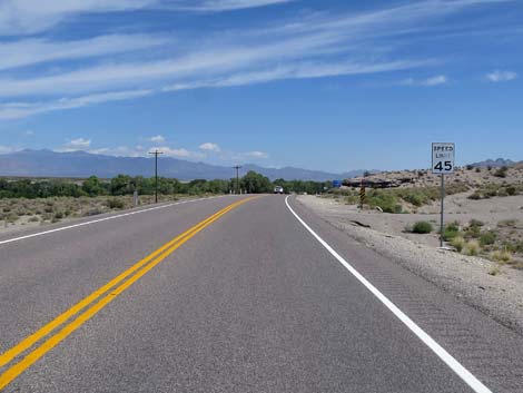
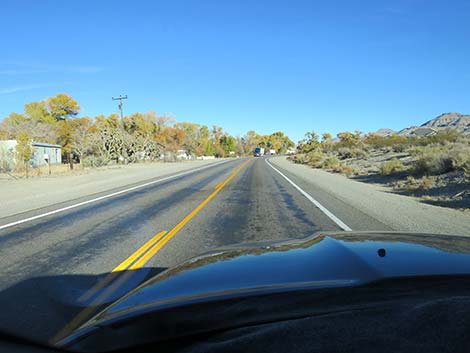
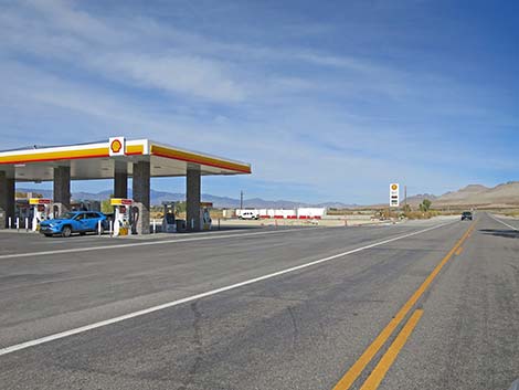
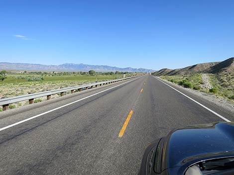
Just ahead, the road passes between dense stands of shade trees. On the right (Site 0444), a pond is filled from Ash Spring, proper, and on the left is a gas station with a small, but well stocked mini-mart with hot food and clean restrooms. On the far edge of town (don't blink), a road to the right leads a few yards to Ash Spring, proper, an improved warm spring popular with locals and visitors alike. Unfortunately, the BLM closed the area for repairs and renovations, apparently with no budget to do the work. Ash Springs is the last gas for many miles going west, north, or east, so fill up here. Leaving Ash Springs, Highway 93 runs nearly straight for about 5 miles to a curve to the right. The road curves and climbs a hill, making the upcoming T-intersection with Highway 318 (Site 0677; 85 miles out) a bit hard to see and anticipate. |
 Alamo business district (view N) |
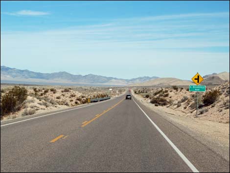
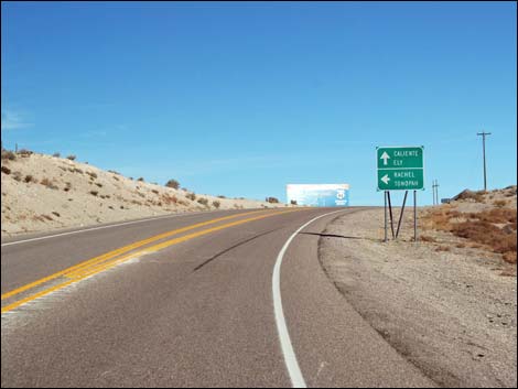
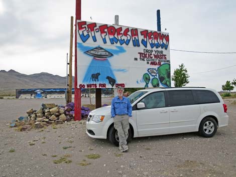
Highway 93 continues straight, but for visitors turning left, Highway 318 runs north to the town of Hiko, the City and the Basin and Range area, and the White River Narrows, but the next gas station is 100 miles away in Lund. Turning left, visitors can also drive west on Highway 375, the Extraterrestrial Highway, to visit sites associated with Area 51 and the town of Rachael, but the next gas in that direction is in Rachael. Before passing the intersection with Highway 318, be sure to stock up on Alien Jerky (E.T. Fresh Jerky), on the right. Plus, as they say, you can deposit your toxic waste here, the last opportunity for a long way. Past the intersection, Highway 93 really runs out into wild and remote country. For the next highway section northbound, see U.S. Highway 93 Northbound -- Highway 318 to Caliente. |
 Alamo town (view N) |
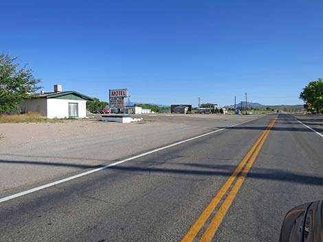
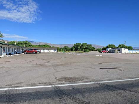
 Approaching Alamo Inn, on the left (view N) |
 |
 |
 Hwy 93 at Alamo Inn (view NW) |
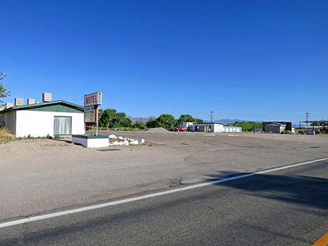
 Alamo Inn (view SW) |
 Alamo Inn (view W) |
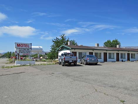
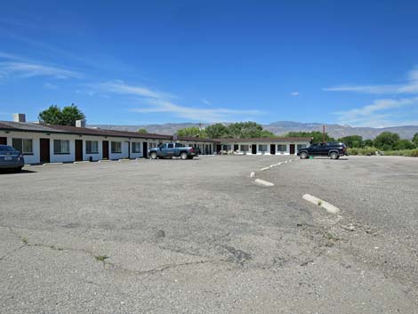 Alamo Inn (view W) |
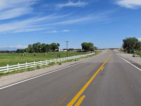 Green fields and livestock in Alamo (view N) |
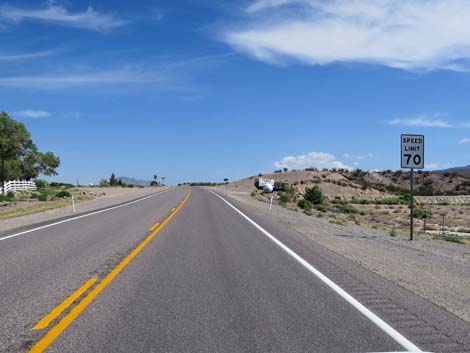 Bumping the speed limit back to 70 mph -- still in town (view N) |
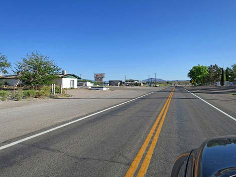
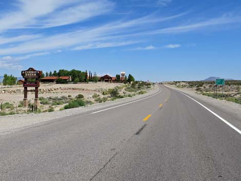 Approaching former Cowboy Dream Bed and Breakfast (view N) |
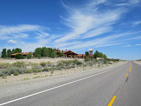 Cowboy Dream Bed and Breakfast (closed; view NW) |
 Approaching South Richardville Road, on the left |
 Highway 93 at South Richardville Road (view N) |
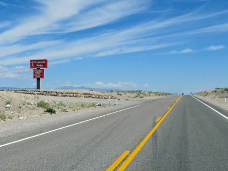 Approaching CLOSED Windmill Ridge Restaurant and Lodge (view N) |
 Approaching North Richardville Road, on the left |
 Hwy 93 at North Richardville Road, on the left |
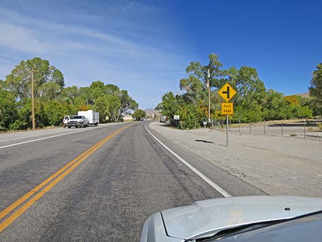
 Speed limit drops to 45 approaching Ash Spring (view NW) |
 Approaching Ash Spring (view N) |
 Ash Springs village boundary sign (view N) |
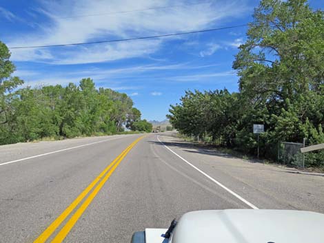
 Entering the village of Ash Springs (view N) |
 Approaching turn to Ash Springs Rock Art Site (view N) |
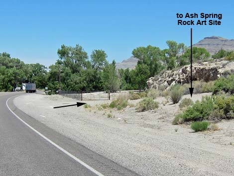 Turn to Ash Springs Rock Art Site (view N) |
 Entering the village of Ash Springs (view N) |
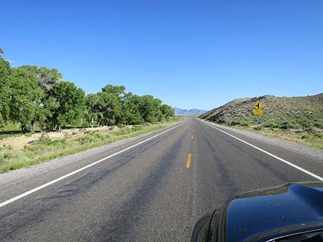
 Trees lining the roadside are good birding |
 Approaching Ash Springs urban area (view N) |
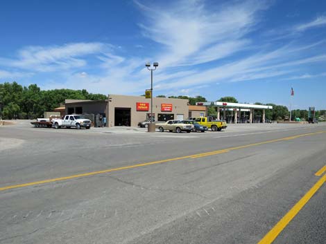
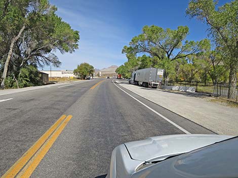
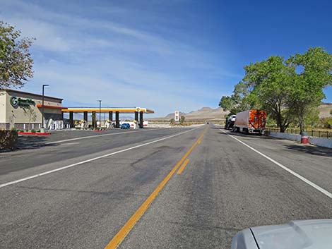 Approaching Ash Springs gas station (view N) |
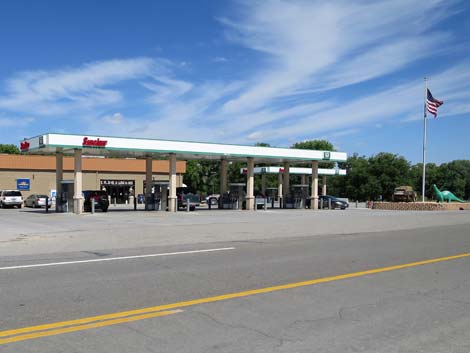
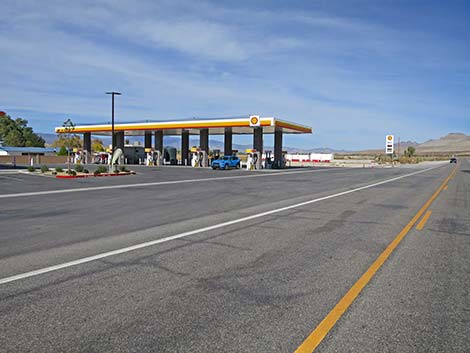 Ash Springs gas station (view NW) |
 Ash Springs gas station and grill (view NW) |
 Leaving Ash Springs: speed bumps to 55 mph (view N) |
 Leaving Ash Springs: speed returns to 70 mph (view N) |
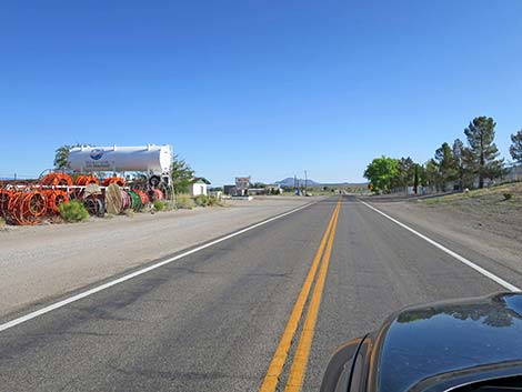
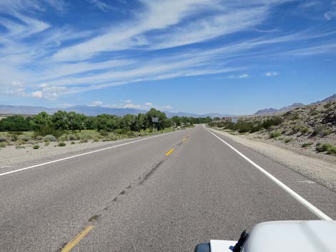
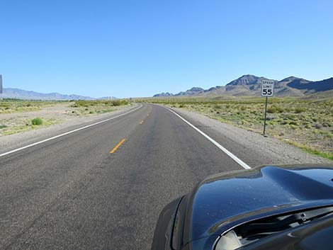
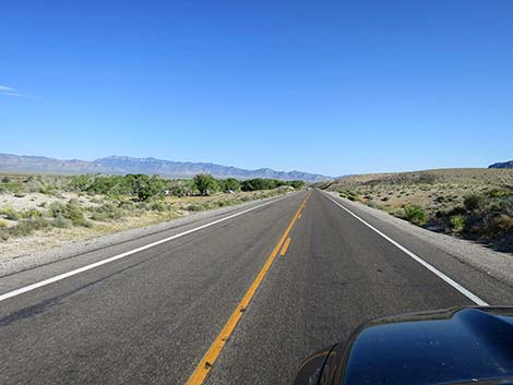
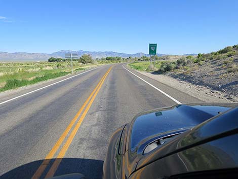
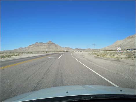
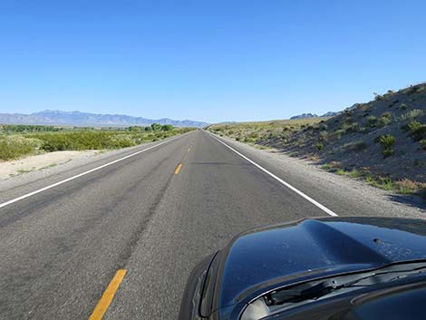 Highway 93 runs out across scenic Pahranagat Valley (view N) |
 Highway 93 in scenic Pahranagat Valley (view N) |
 Highway 93 in scenic Pahranagat Valley (view N) |
 Highway 93 in scenic Pahranagat Valley (view N) |
 Highway 93 in scenic Pahranagat Valley (view N) |
 Highway 93 in scenic Pahranagat Valley (view N) |
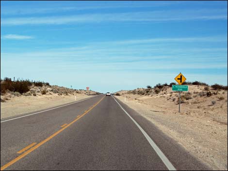
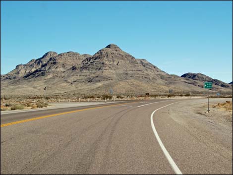
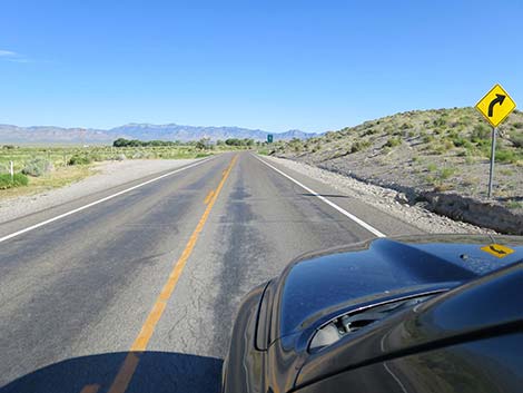 The upcoming curve is sharper that one might expect (view N) |
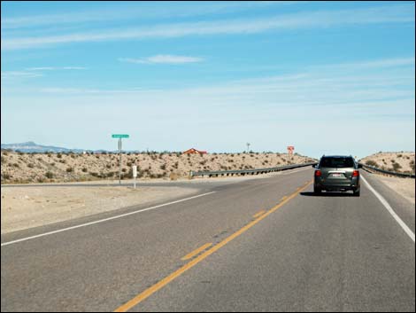
 Highway 93 approaching Hwy 318 turnoff (view N) |
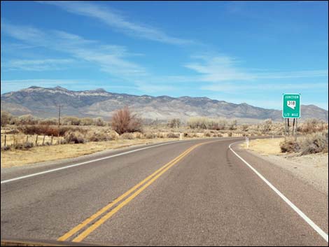 Highway 93 approaching Hwy 318 turnoff (view N) |
 Approaching Hwy 318 turnoff (view N) |
 Approaching Hwy 318 turnoff (view N) |
 Approaching Hwy 318 turnoff (view N) |
 Approaching Hwy 318 turnoff (view N) |
 Approaching Highway 318 turnoff (view NE) |
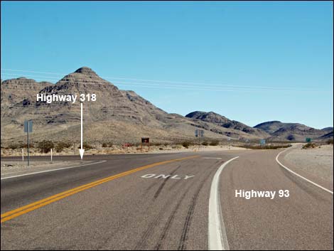 Hwy 93 at Hwy 318 (view NE) |
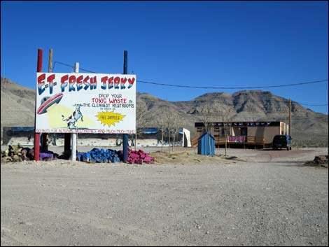 E.T. Fresh Jerky (view SE) |
 E.T. Fresh Jerky (view SE) |
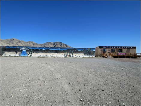 E.T. Fresh Jerky (view SE) |
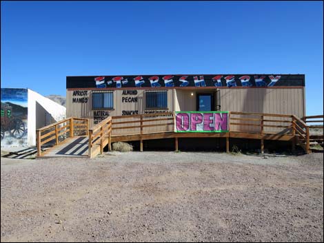 E.T. Fresh Jerky (view SE) |
Happy Hiking! All distances, elevations, and other facts are approximate.
![]() ; Last updated 240331
; Last updated 240331
| Backroads | Hiking Around Las Vegas | Glossary | Copyright, Conditions, Disclaimer | Home |