Backroads Around Las Vegas
 Approaching Hwy 318 turnoff (view NE) |
Overview U.S. Highway 93 isn't really a "backroad," but it provides access to many of the places and backroads we love. The highway is long and mostly straight, with a speed limit of 70 mph. Gas, food, and supplies are scattered along at intervals of about 80-100 miles as the highway runs north through eastern Nevada. Highway 93 provides access to hikes in the Arrow Canyon Range, Desert National Wildlife Range, Pahranagat National Wildlife Refuge, various Wilderness areas, plus access to some amazing rock art sites in Lincoln County and even a nice trilobite quarry. Excellent birding opportunities can be found in the Pahranagat National Wildlife Range and Key-Pittman Wildlife Management Area. Link to Road Map. |
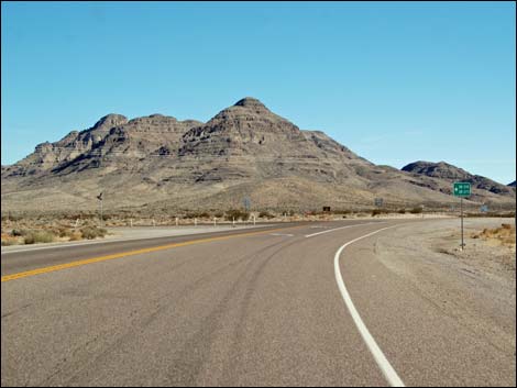
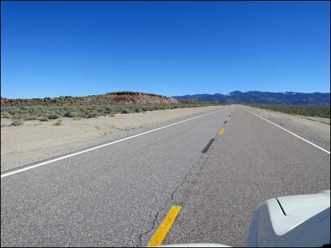
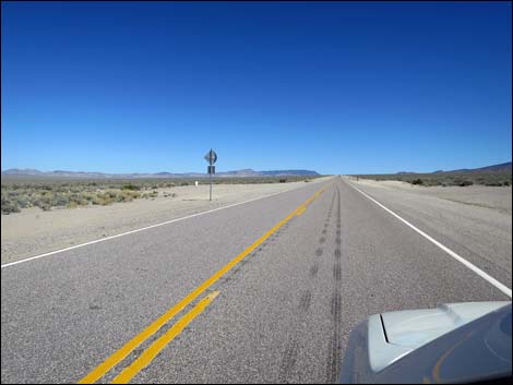
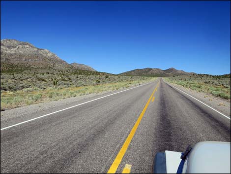
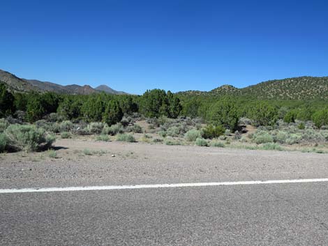
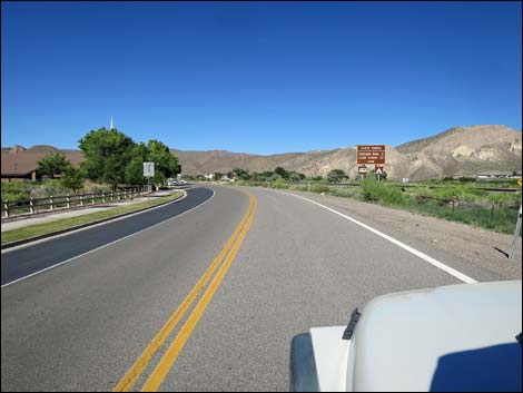
 Hwy 93 at Hwy 318 (view NE) |
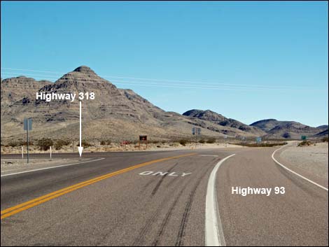
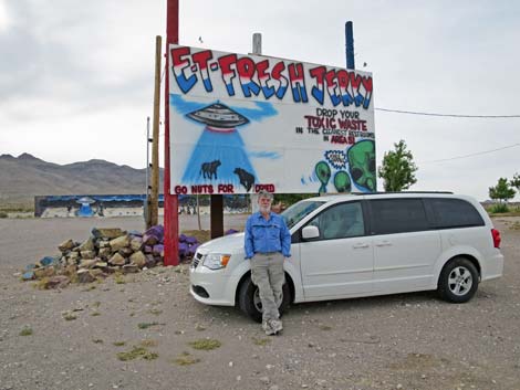
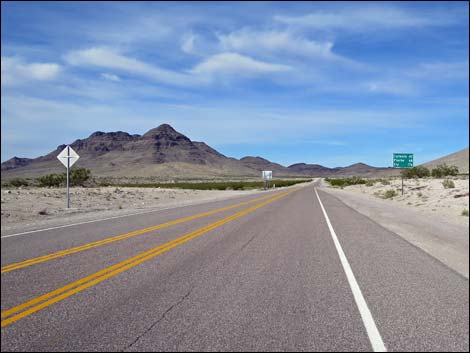
U.S. Highway 93 from Highway 318 to Caliente For details of getting to this point from Las Vegas, see U.S. Highway 93 -- Northbound from Alamo to Highway 318. Before passing the intersection with Highway 318, be sure to stock up on Alien Jerky (E.T. Fresh Jerky), on the right. Plus, as they say, you can deposit your toxic waste here, the last opportunity for a long way. Past the intersection, Highway 93 really runs out into wild and remote country. Now running northeast, Highway 93 climbs towards a gap in the mountains, following Crystal Wash, through the Hiko Range. At about 3 miles from the intersection with Highway 318, the road passes a nondescript dirt side road (Site 1096) to the left that leads to the Crystal Wash Entrance Rock Art Site. |
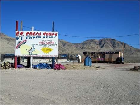 E.T. Fresh Jerky (view SE) |
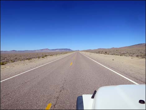
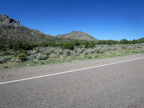
Another mile out, a side road leads out the back of a graded parking area (Site 1096) with a trash can on the left of the highway. This road leads over a cattle guard to a historic Shepherd's Camp and the Crystal Wash Main Rock Art Site. The highway continues northeast, then bends east as it runs over Pahroc Summit Pass. Here, at about 5,000 ft elevation, the mountains to the south are the South Pahroc Range, the higher elevations of which are protected inside the South Pahroc Range Wilderness Area. Not surprisingly, the mountains to the north are the North Pahroc Range, the higher elevations of which are protected inside the Big Rocks Wilderness Area. Continuing east across a broad basin, the area to the south of the highway is Delamar Valley, and the area to the north of the highway is Dry Lake Valley. |
 E.T. Fresh Jerky (view SE) |
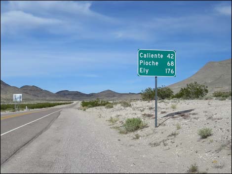
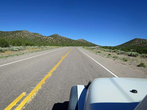
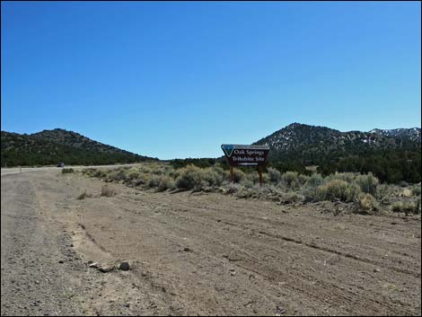
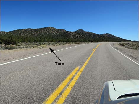
Across the basin, the road passes though the Burnt Springs Range and begins to climb into the Delamar Mountains. At about 30 out from Highway 318, the road passes the signed turnoff (Site 1551) to the Oak Springs Trilobite Site, on the left. This is an interesting BLM site where the public is encouraged to prospect for fossil trilobites using hand tools and for non-commercial purposes. Continuing, the highway winds its way over Oak Springs Summit (6250 ft; 32 miles out) and then down into the town of Caliente (43 miles out), a full-service town. From Caliente, the highway turns north to run up Meadow Valley Wash, passes Panaca and Cathedral Gorge State Park (58 miles out), and continues north to Pioche (68 miles out) and eventually an intersection with Highway 6 (148 miles out). Here, to the right is Great Basin National Park, and to the left (on Hwy 93) is Ely (175 miles out). |
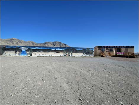 E-T Fresh Jerky (view SE) |
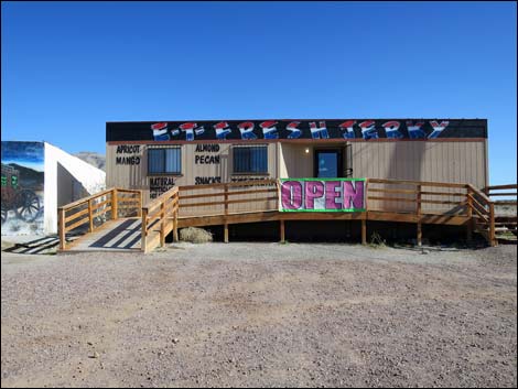 E-T Fresh Jerky (view SE) |
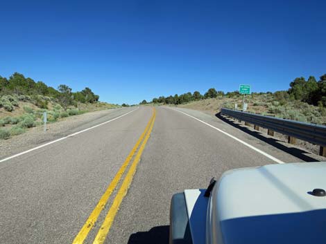
 Departing the Highway 93-318 intersection (view NE) |
 Sign when departing the Highway 93-318 intersection (view NE) |
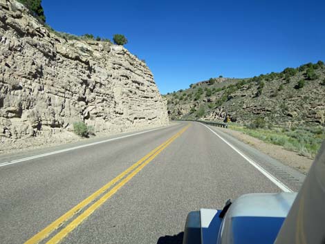
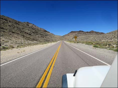 Canyon with sharp curve right ahead (view NE) |
 Exiting the narrow canyon (view SE) |
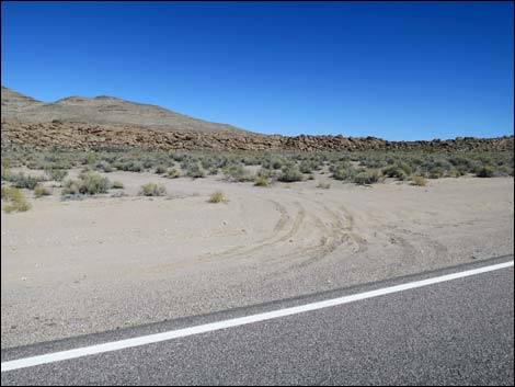
 Approaching Crystal Wash Entrance Rock Art Site (view SE) |
 Approaching Crystal Wash Entrance Rock Art Site (view SE) |
 Hwy 93 at Crystal Wash Entrance Rock Art Site (view NE) |
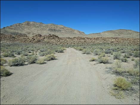 Crystal Wash Entrance Rock Art Site spur road (view N) |
 Highway 93 (view SE) |
 Approaching Crystal Wash Main Rock Art Site (view NE) |
 Hwy 93 at Crystal Wash Main Rock Art Site (view NE) |
 Crystal Wash Main Rock Art Site spur road (view N) |
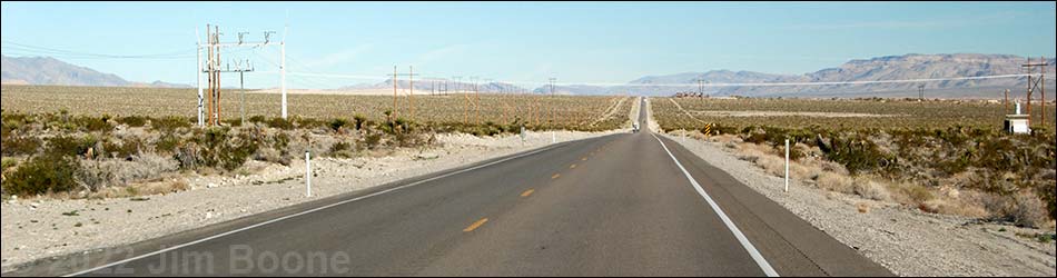
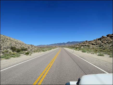
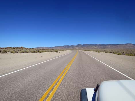
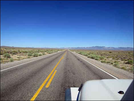
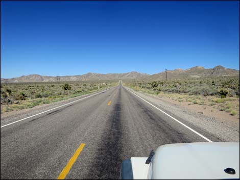
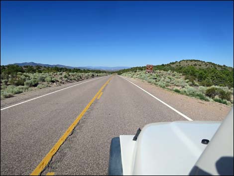
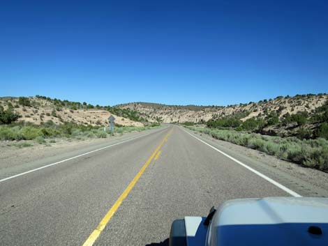
 Long, straight road (view NE) |
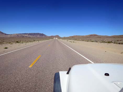 Really long, straight road (view NE) |
 "Will we ever get there" long, straight road (view NE) |
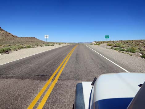 Approaching Pahroc Summit (view E) |
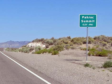 Pahroc Summit; 4,931 ft elevation (view E) |
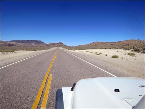
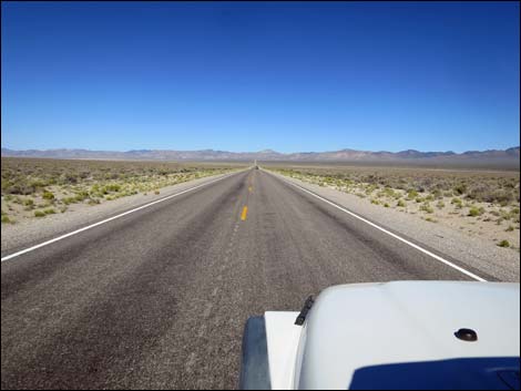
 Long, straight road (view E) |
 |
 |
 Long, straight road (view E) |
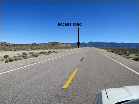
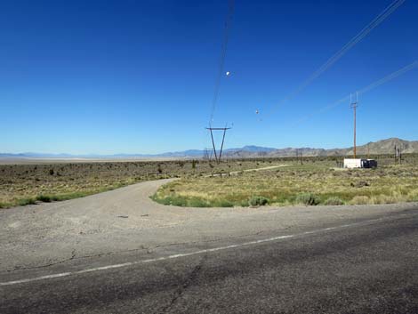
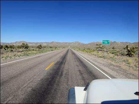 Approaching Delamar Road (view E) |
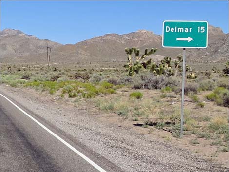 Misspelling of Delamar |
 Approaching Delamar Road (view E) |
 Delamar Road (view S from Highway 93) |
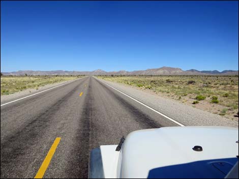
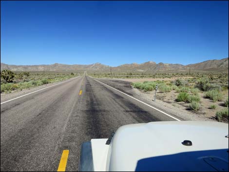
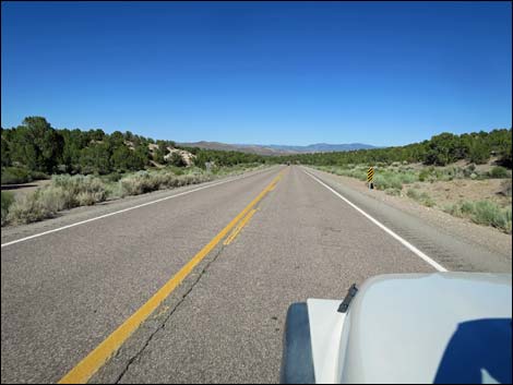
 Long, straight road (view E) |
 Powerline Road (view N from Highway 93) |
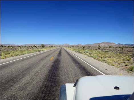
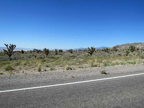 Lots of Joshua Trees (view N) |
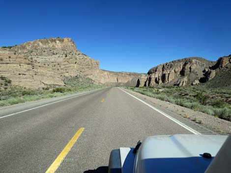
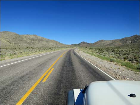 Heading into the Delamar Mountains (view E) |
 Heading into the Delamar Mountains (view E) |
 Oak Springs Trilobite Site (view NE) |
 Approaching Oak Springs Trilobite Road (view E) |
 Approaching Oak Springs Trilobite Site, on the left (view E) |
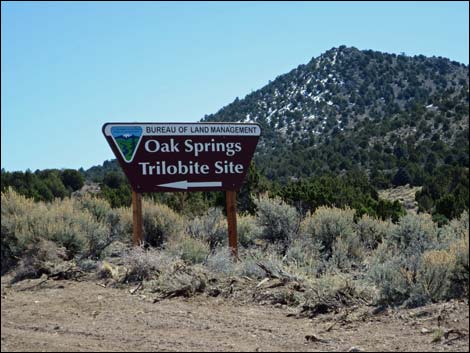 Oak Springs Trilobite Site sign (view E) |
 Approaching Oak Springs Trilobite Site access road (view E) |
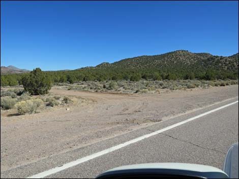 Oak Springs Trilobite Site 1st access road (view N from Hwy 93) |
 Oak Springs Trilobite Site 1st access road (view N from Hwy 93) |
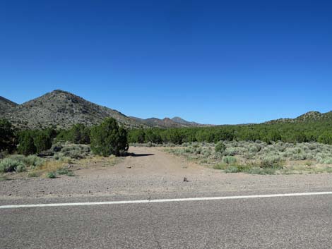
 Oak Springs Trilobite Site 2nd access road (view N from Hwy 93) |
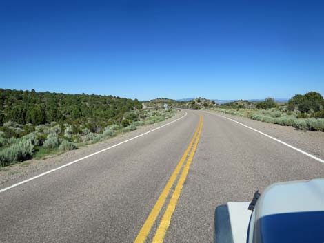
 Approaching Oak Spring Summit (view E) |
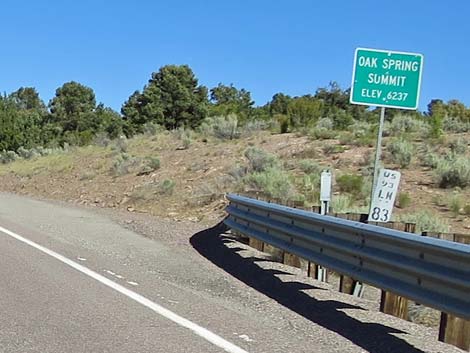 Oak Spring Summit; 6,237 ft elevation (view E) |
 |
 |
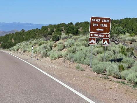 Hwy 93 at Silver State OHV Trail access road (view NE) |
 Starting down into Newman Canyon (view NE) |
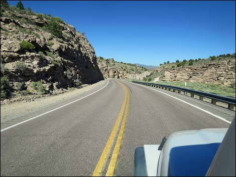 Newman Canyon (view E) |
 Newman Canyon (view E) |
 Newman Canyon (view E) |
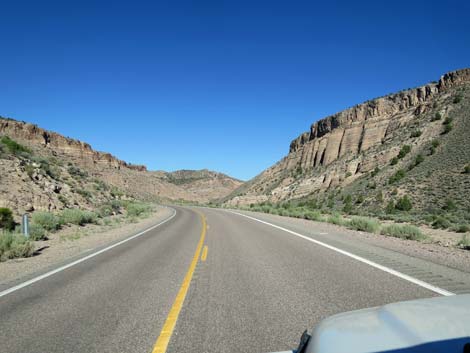 Newman Canyon (view E) |
 Newman Canyon (view E) |
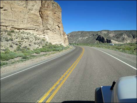 Exiting Newman Canyon into Caliente (view SE) |
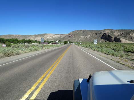 Approaching Caliente; note 25 mph limit (view NE) |
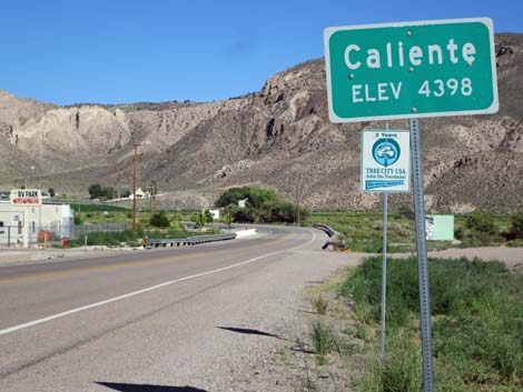 Caliente city limit sign (view NE) |
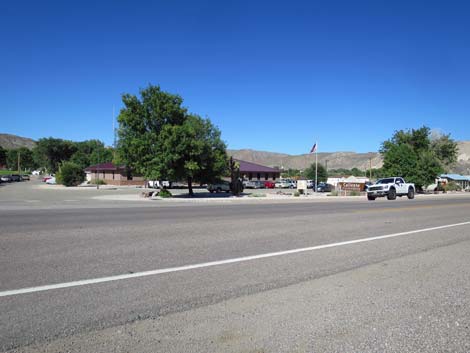 Caliente BLM office on edge of town (view NE) |
 Caliente (view NE) |
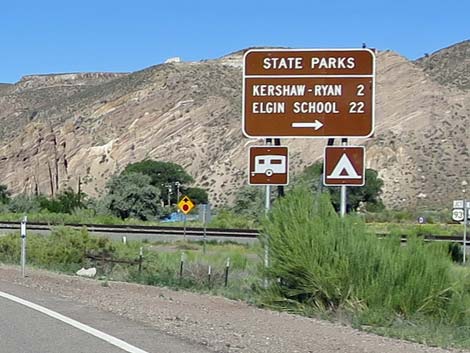 Sign for state parks in Rainbow Canyon (view E) |
 Approaching turnoff to Rainbow Canyon Road (Hwy 317; View NE) |
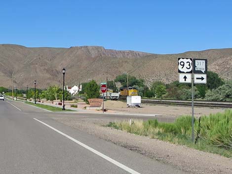 Highway 93 at Highway 317 (Rainbow Canyon Road; view E) |
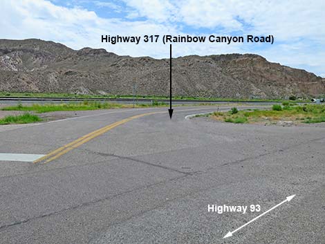 Rainbow Canyon Road (Hwy 317; view SW from Hwy 93) |
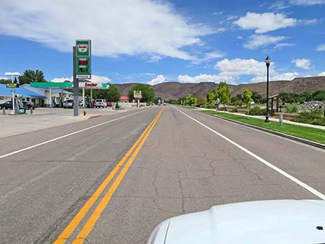 Caliente gas station (view NE) |
 Entering downtown Caliente (view NE) |
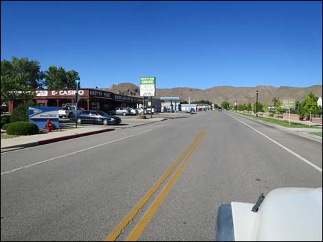
 Caliente restaurant (view NE) |
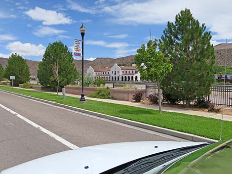 Caliente train depot (view NE) |
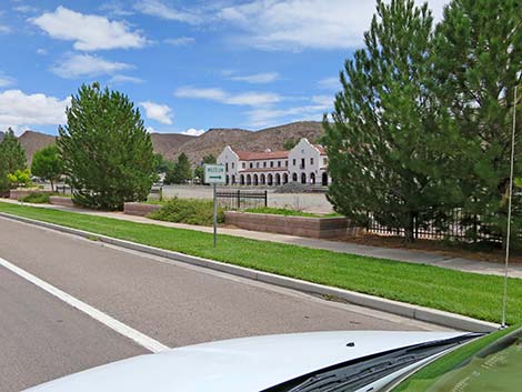 Caliente train depot (view NE) |
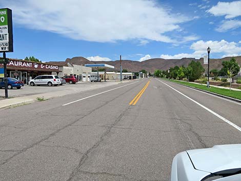
 Caliente at end of commercial area (view NE) |
Happy Hiking! All distances, elevations, and other facts are approximate.
![]() ; Last updated 240331
; Last updated 240331
| Backroads | Hiking Around Las Vegas | Glossary | Copyright, Conditions, Disclaimer | Home |