
Hiking Around Las Vegas, Basin and Range National Monument

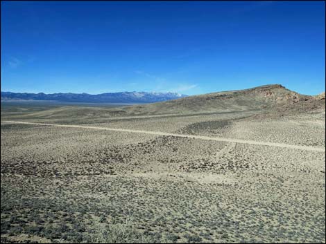
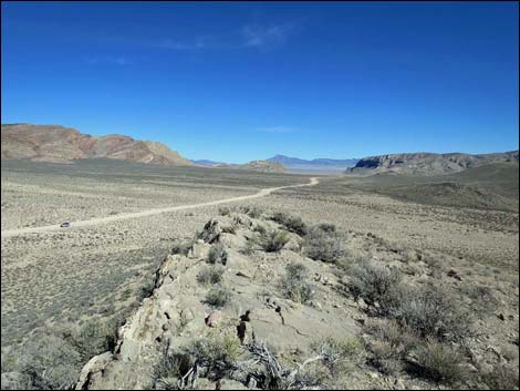
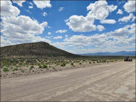 Cherry Creek Road at Lovers Leap trailhead (view W) |
Overview Lovers Leap, located in the heart of Basin and Range National Monument, is a high point where lovers go to look out over the lights of the city at night. Except, in this case, it is better to hike in the daylight, there are no lights, and well, there isn't really a city either. It is, however, the best place for earth-bound creatures to get an overview of Michael Heizer's earth-art sculpture City before it is opened to the public. The peak is about 100 feet higher than City, but City is some 1.7 miles distant, so bring binoculars or a spotting scope. There is a place along Garden Valley Road where visitors can arguably get a better view from ground level, but Lovers Leap is the best view with elevation. Seeing City from both spots gives a good overview of the sculpture. Link to hiking route map. |
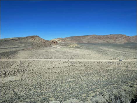
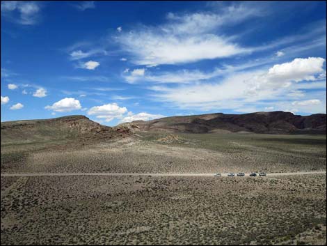
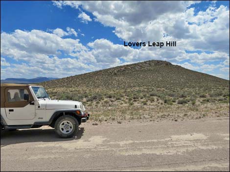 Vehicle at Lovers Leap trailhead (view S) |
Watch Out Other than the standard warnings about hiking in the desert, this hike is pretty safe. Hikers could stumble off the low cliffs at the top, but the summit is relatively flat and broad, so this isn't an unusual hazard. While hiking, please respect the land and the other people out there, and try to Leave No Trace of your passage. Even though this hike is short, the area is remote, so bring what you need of the 10 Essentials. Please respect private property and the privacy of Michael Heizer. No artist wants their work unveiled before it is finished, so enjoy the view from afar; it will be open to the public soon enough. One last thought, Lovers Leap is nearly 2 miles from City, so it should be right at the farthest range of Heizer's rifle, which is rumored to be well used. |
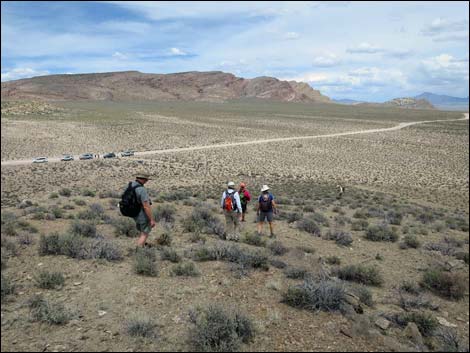
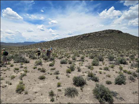 Hikers departing the trailhead (view S) |
Getting to the Trailhead Lovers Leap is located in Basin and Range National Monument, about 150 miles north of Las Vegas. From Las Vegas, drive north on Interstate-15, Highway 93, and Highway 318 to Seaman Wash Road. Drive northwest on Seaman Wash Road until it reaches a T-intersection with Cherry Creek Road (26.6 miles out). Stay left onto Cherry Creek Road and drive west 1.7 miles to a wide spot in the road opposite the last small hill on the left. Park here; this is the trailhead. For drivers who miss the trailhead, turn around at Heizer Ranch Road and drive back about 0.5 miles to the trailhead. |
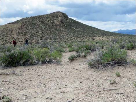 |
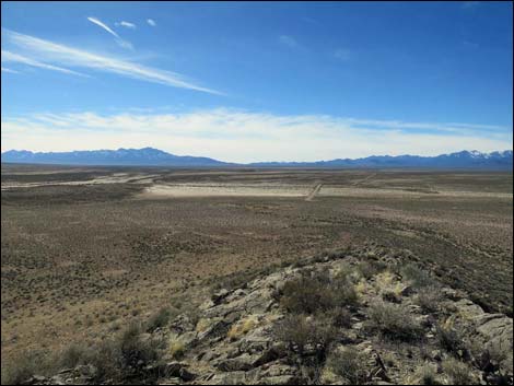
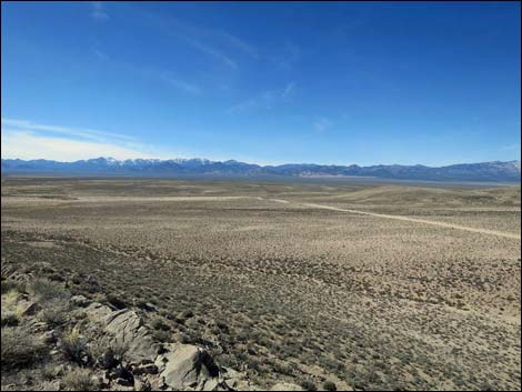
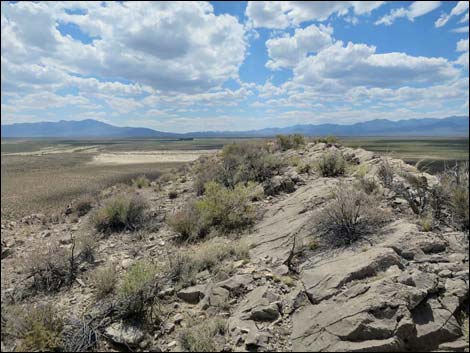
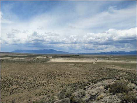
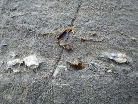
The Hike From the trailhead (Table 1, Waypoint 01), the Lovers Leap Hill route runs south towards the toe of the east ridge. Turning west, the route runs up the ridgeline to the summit (Wpt. 02). From the summit, tall cottonwood trees surrounding the Heizer Ranch buildings are plain to see about 1.7 miles west-southwest (250 degrees). The sculpture, City, stretches from left to right beyond the trees. With binoculars, some of the ramps, berms, and abstract art can be seen. White atop Lovers Leap, be sure to notice the far-away surroundings (Garden Valley, Golden Gate Range, Quinn Canyon Range, Water Gap, etc.) as well as the close-in surroundings (fossils in the rocks, collared lizards, etc.). Return to the trailhead by descending the ridge. Vehicles at the trailhead are visible from the entire route. |
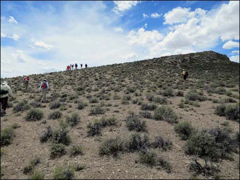 Hikers climbing onto the ridgeline (view SW) |
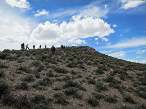 Hikers following the ridgeline (view SW) |
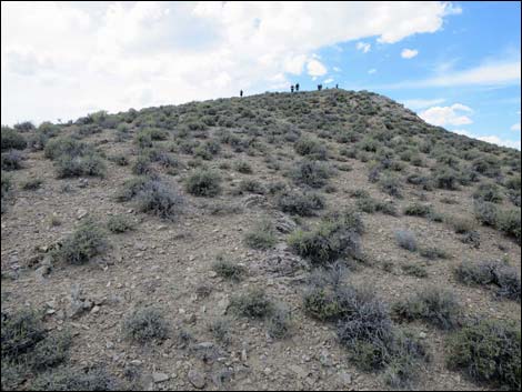 The distance is short, but it looks far in this photo (view W) |
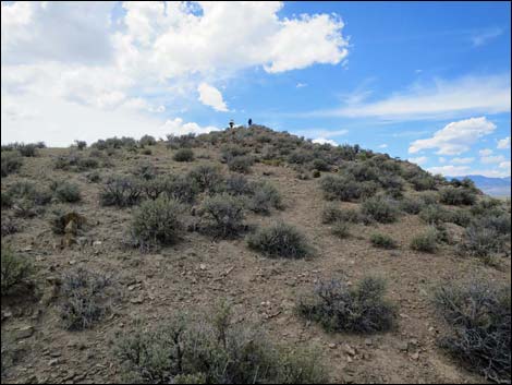 The distance is short, but it looks far in this photo (view W) |
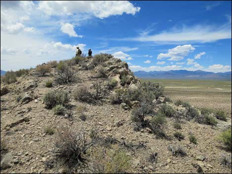 Hikers arriving at the summit (view W) |
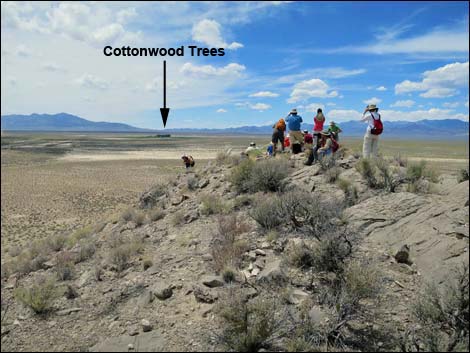 Hikers on the summit (view W) |
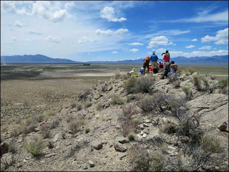 |
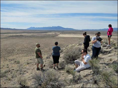 |
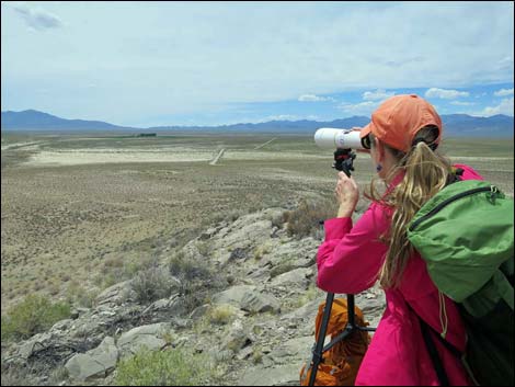 Using a spotting scope for a better view (view SSW) |
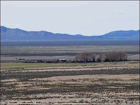 Better view with a spotting scope (view SSW) |
 |
 |
 |
 |
 |
 |
Descending from the Summit
 Departing the summit (view E towards Water Gap) |
 Departing the summit (view N towards Trailhead) |
 Hikers descending the summit ridge (view NE) |
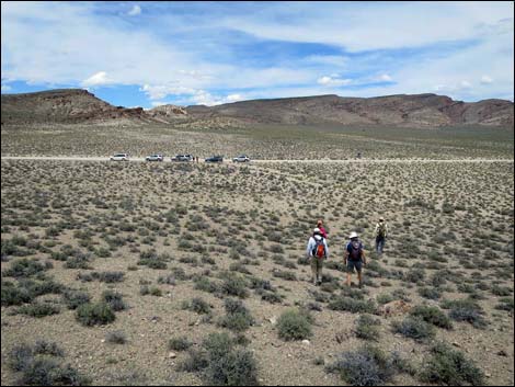 Hikers descending towards desert flats (view NE) |
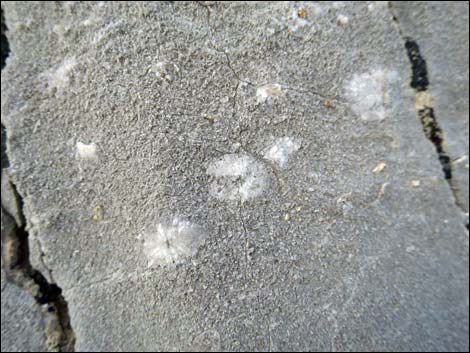
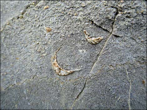
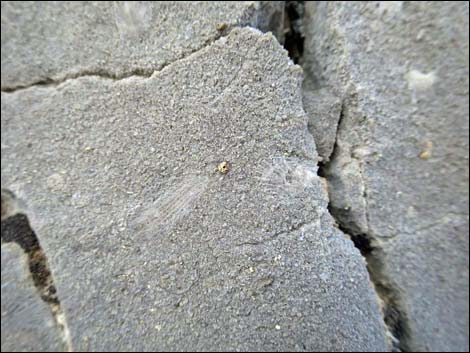
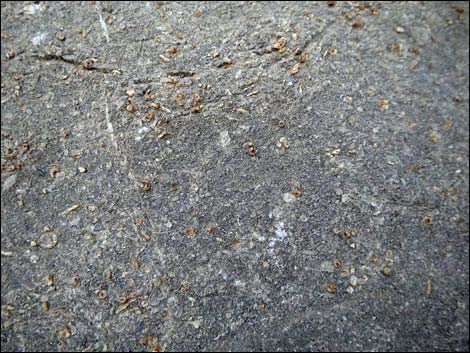
Fossils in the Summit Rocks
 |
 |
 |
 |
 |
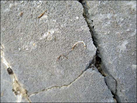 |
Table 1. Hiking Coordinates based on GPS data (NAD27; UTM Zone 11S). Download Hiking GPS Waypoints (*.gpx) file.
| Wpt. | Location | UTM Easting | UTM Northing | Elevation (ft) | Point-to-Point Distance (mi) | Cumulative Distance (mi) | Verified |
|---|---|---|---|---|---|---|---|
| 01 | Lovers Leap Trailhead | 639838 | 4211749 | 5,181 | 0.00 | 0.00 | GPS |
| 02 | Lovers Leap Summit | 639719 | 4211615 | 5,267 | 0.15 | 0.15 | GPS |
| 01 | Lovers Leap Trailhead | 639838 | 4211749 | 5,181 | 0.15 | 0.30 | GPS |
Happy Hiking! All distances, elevations, and other facts are approximate.
![]() ; Last updated 240323
; Last updated 240323
| Hiking Around Las Vegas | Glossary | Copyright, Conditions, Disclaimer | Home |