
Hiking Around Las Vegas, Basin and Range National Monument

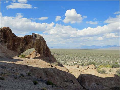 |
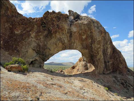
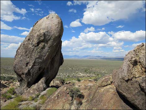
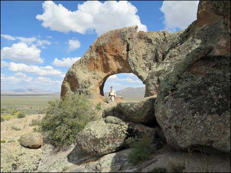
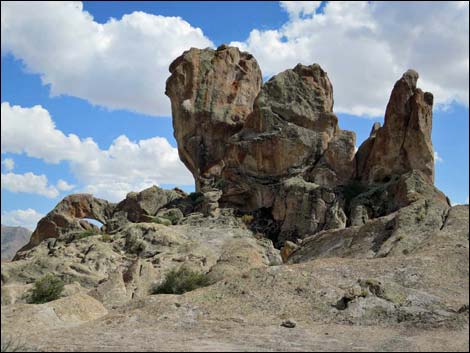
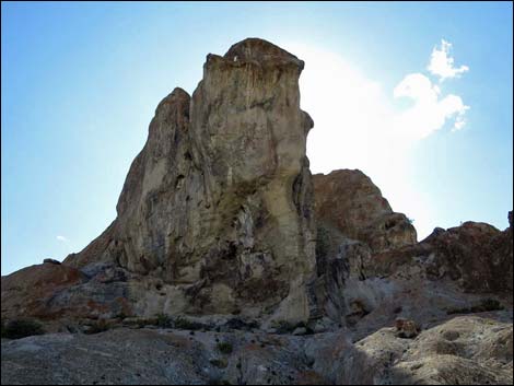
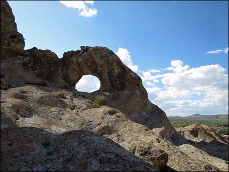
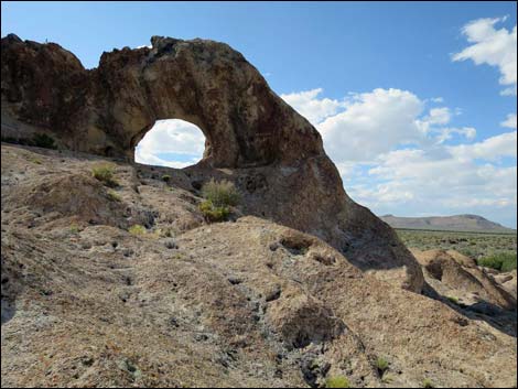
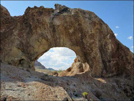
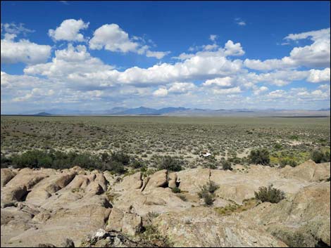
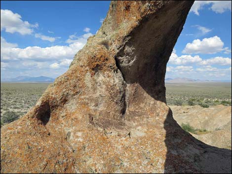
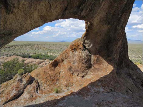
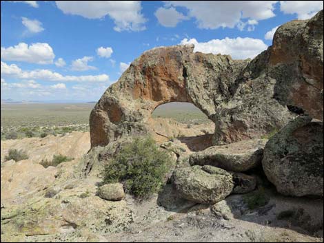
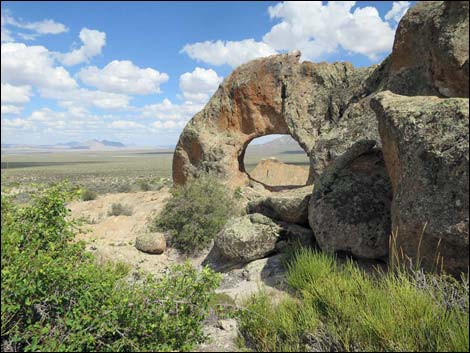
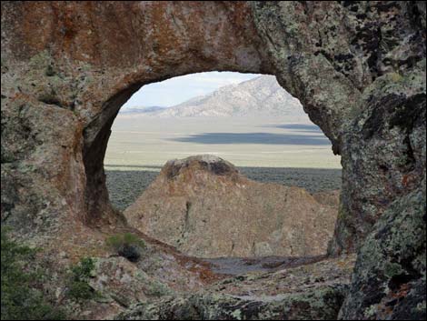
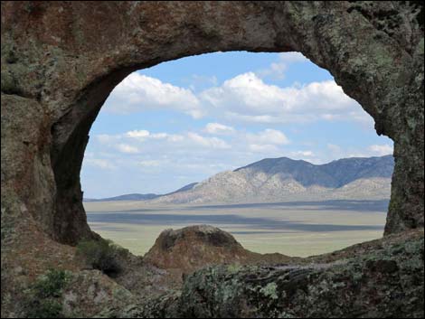
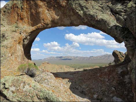
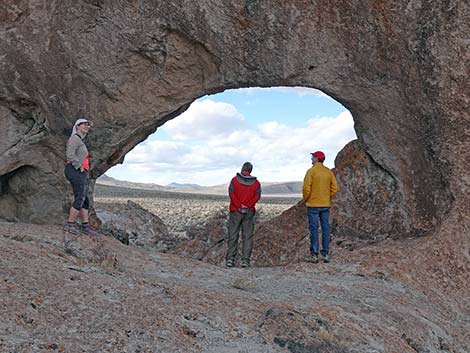
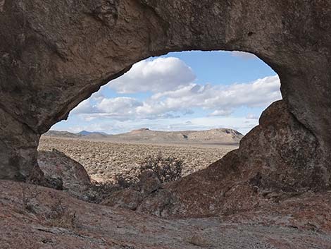
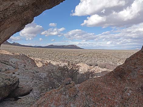
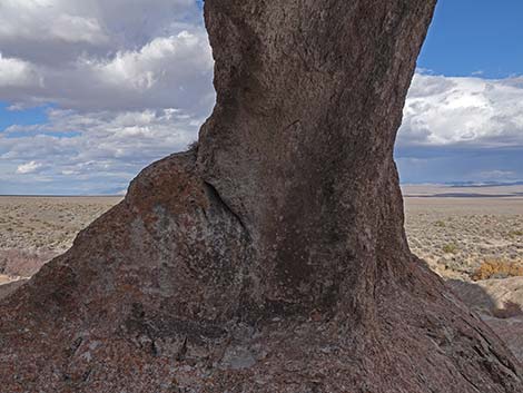
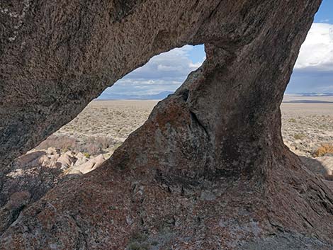
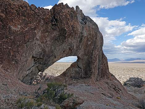
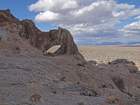
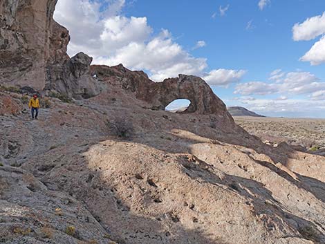
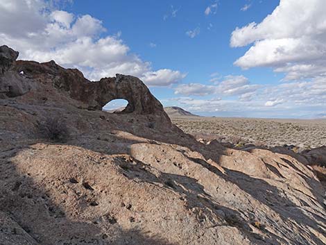
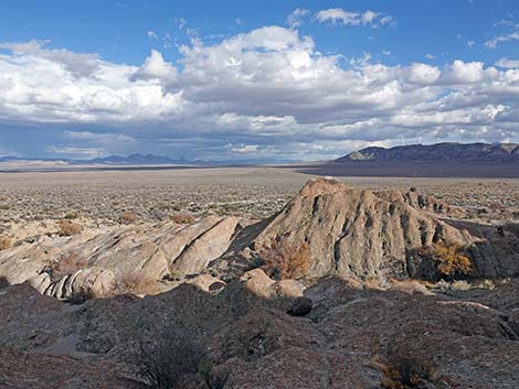
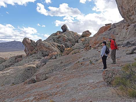
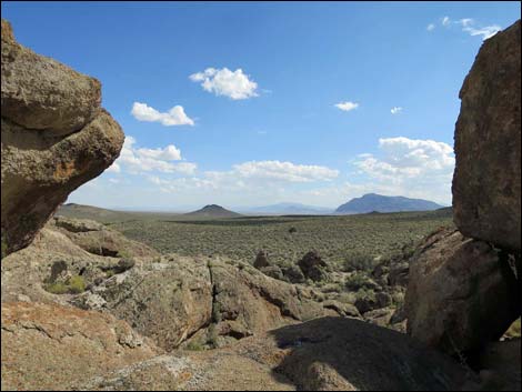
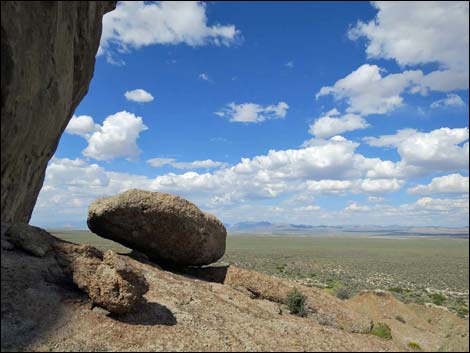
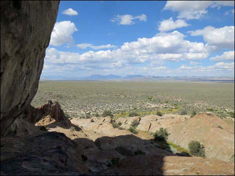
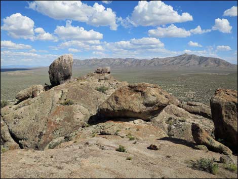
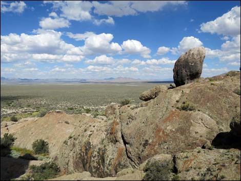
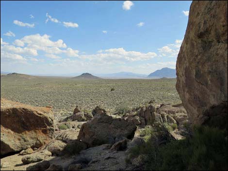
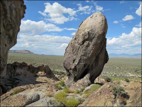
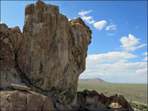
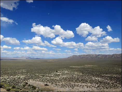
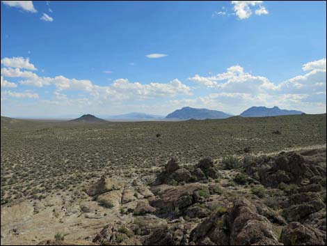
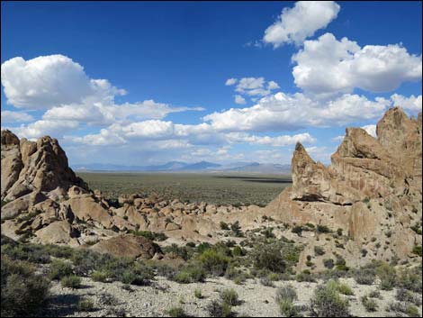
Overview Natural Arch is hole through a fin of volcanic rock (probably ash-fall tuff) that is about 10 feet high and 15 feet wide. The arch is set on a stage with commanding views over the surrounding terrain, which makes for great photos as the sun angle changes through the day. The arch is part of a craggy outcrop that stands tall and alone on the edge of Coal Valley. While the arch is interesting, the surrounding rocks, eroded into unusual shapes, provide much to explore while in the area. Owls nest in the towering crags above the arch, adding a hoot or two to the camping experience at this site. |
 |
Watch Out Other than the standard warnings about hiking in the desert, ...this is a pretty safe area with no unusual hazards, but always be extra careful when scrambling around on the crags. While out, please respect the land and the other people out there, and try to Leave No Trace of your passage. This road goes into remote areas, so be sure to bring the 10 Essentials. Cell phones don't work. |
 |
Getting to the Trailhead Natural Arch is located on the northeast edge of Basin and Range National Monument, about 4-1/2 hours (164 miles) northeast of Las Vegas driving directly via Seaman Wash Road, or about 3 hours (58 miles) north of the intersection of Highway 93 and Highway 318. From Las Vegas, drive north on Interstate-15 for 21 miles to Highway 93. Drive north on Highway 93 past the towns of Alamo and Ash Springs to Highway 318. Turn left onto Highway 318 and drive north for 17.4 miles to Seaman Wash Road on the left. Follow Seaman Wash Road northwest to Timber Pass Road. Drive east on Timber Pass Road 0.9 miles to Coal Valley North Road, on the left. There is a shortcut when entering Water Gap if the wash is dry and the road isn't washed out. Drive north on Coal Valley North Road 9.5 miles to Natural Arch Access Road, on the left. Watch for a single wooden fence post on the left shortly before the turn. Follow Natural Arch Access Road north 3.2 miles to Natural Arch. |
 |
The Hike From the trailhead (Table 1, Waypoint 01), Natural Arch is located a bit west of north at about 500 feet distant. There is no trail, but the arch is visible from the road when approaching the area, so the destination is not a mystery when departing the trailhead. It is easier to walk north along the base of the rocks until Natural Arch (Wpt. 02) can be approached from the east, but it probably is more fun to just scramble directly across the rocks. |
 |
 |
 |
 |
 |
 |
 |
 |
 |
 |
 |
 |
 |
 |
 |
 |
 |
 |
 |
 |
 |
 |
 |
 |
 |
 |
 |
 |
 |
 |
 |
 |
 |
 |
 |
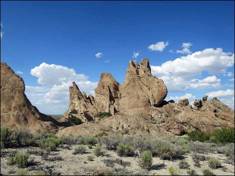 |
Table 1. Hiking Coordinates based on GPS data (NAD27; UTM Zone 11S). Download Hiking GPS Waypoints (*.gpx) file.
| Wpt. | Location | UTM Easting | UTM Northing | Elevation (ft) | Point-to-Point Distance (mi) | Cumulative Distance (mi) | Verified |
|---|---|---|---|---|---|---|---|
| 01 | Natural Bridge Trailhead | 652438 | 4228825 | 5,409 | 0.00 | 0.00 | GPS |
| 02 | Natural Arch | 652403 | 4228957 | 5,456 | 0.09 | 0.09 | GPS |
Happy Hiking! All distances, elevations, and other facts are approximate.
![]() ; Last updated 240323
; Last updated 240323
| Hiking Around Las Vegas | Glossary | Copyright, Conditions, Disclaimer | Home |