
Backroads Around Las Vegas, Basin and Range National Monument
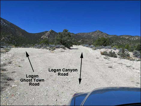 Logan Canyon Road at Logan Townsite Road (view W) |
Overview Logan Townsite Road is a dirt, 0.3-mile spur road that connects Logan Canyon Road with Logan Townsite. The road normally is maintained and suitable for 2WD vehicles, assuming Logan Canyon Road is also suitable for 2WD. Logan Townsite Road provides access to Logan Townsite, the site of an historic town, two houses built in the 1950s, the remains of Native American dwellings, and a small number of petroglyphs. |
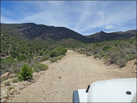 Logan Townsite Road (view SW) |
Watch Out Other than the standard warnings about driving in the desert, ...this road is pretty safe, but be sure that your vehicle is in good working condition, carry plenty of water (radiator and drinking), and pack a lunch. Always drive carefully; even though the road is maintained, there are occasional hazards such as errant washouts. While out, please respect the land and the other people out there, and try to Leave No Trace of your passage. This road goes into remote areas, so be sure to bring the 10 Essentials. Cell phones don't work. |
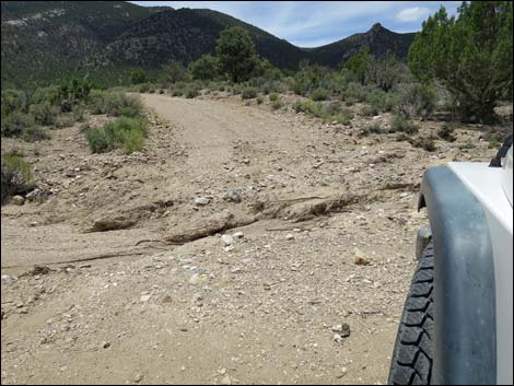 Logan Townsite Road can be washed out (view W) |
Getting to the Road Logan Townsite Road is located in the southern part of Basin and Range National Monument, about 2 hours northeast of Las Vegas. From Las Vegas, drive out to Basin and Range National Monument. From the intersection of Highway 93 and Highway 318, drive north on Highway 318 for 3.2 miles to Logan Canyon Road on the left. The intersection is not marked, but watch for a wire gate on the left. Drive west on Logan Canyon Road, past the Archeological District, for a total of 9.6 miles to Logan Townsite Road, which forks off to the left. |
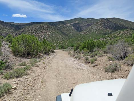 Logan Townsite Road (view SW) |
The Road From Logan Canyon Road (Table 1, Site 1592), Logan Townsite Road runs southwest as it gently descends into a canyon formed on the east side by a prominent crag of white volcanic ash and on the west side by the Mount Irish Range. At about 300 yards out, the road joins a minor road that merges from the right. This is part of a large triangular intersection with Logan Canyon Road, but it is better to just use the main road. The main road bends a bit left as it winds along the base of the white cliffs and passes the first of the 1950s-era buildings (370 yards out). This one is wooden and falling apart. Just beyond, the road forks for no apparent reason. In about 40 yards the forks merge at the parking area (Site 1593) for the stone cabin (460 yards out). The main road continues for another 100 yards, but the turn-around it tight and it is easier to just walk from the stone cabin. |
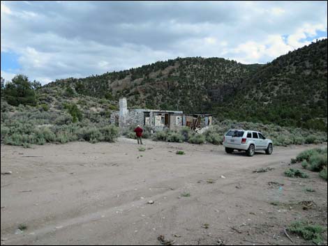 Parking at the stone cabin (view S) |
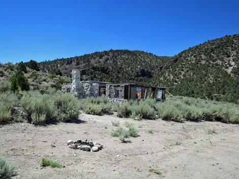 Parking at the stone cabin is used as a campsite (view S) |
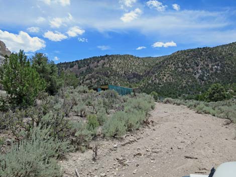 Entering Logan Townsite area (view S) |
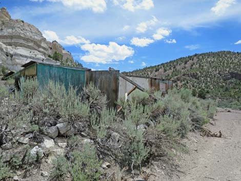 Passing the wooden cabin, which is collapsing (view S) |
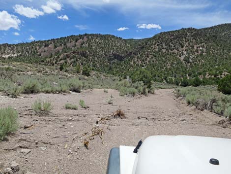 The road forks for no apparent reason (view S) |
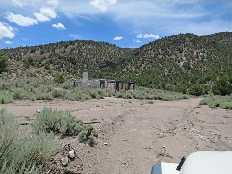 The two forks merge just before the stone cabin (view S) |
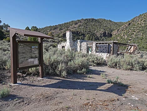 Logan City information kiosk (view S) |
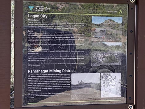 Logan City sign (view SE) |
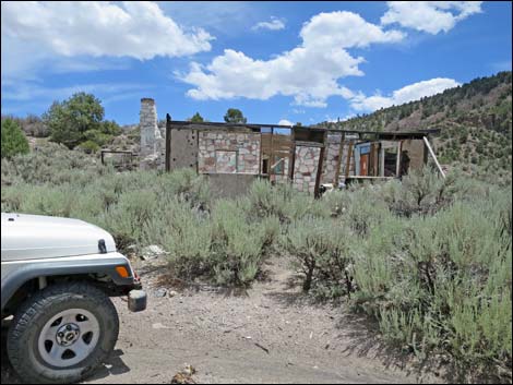 Parking at the stone cabin (view E) |
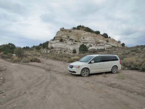 Parking at the stone cabin (view N) |
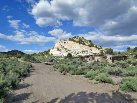 End of the road (view N towards stone cabin and parking) |
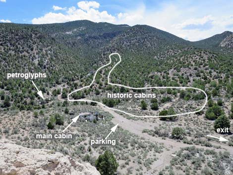 Hilltop overlooking Logan Townsite (view SW) |
Table 1. Highway Coordinates and Distances based on GPS Data (NAD27). Download highway GPS waypoints (gpx) file.
| Site | Location | UTM Easting | UTM Northing | Latitude (N) | Longitude (W) | Elevation (ft) |
|---|---|---|---|---|---|---|
| 1592 | Logan Cyn Rd at Logan Townsite Rd | 642192 | 4163684 | 37.61111 | 115.38902 | 6,118 |
| 1593 | Logan Townsite | 641882 | 4163464 | 37.60917 | 115.39257 | 6,076 |
Happy Hiking! All distances, elevations, and other facts are approximate.
![]() ; Last updated 250614
; Last updated 250614
| Basin and Range | Backroads | Hiking Around Las Vegas | Glossary | Copyright, Conditions, Disclaimer | Home |