
Hiking Around Las Vegas, Desert National Wildlife Refuge

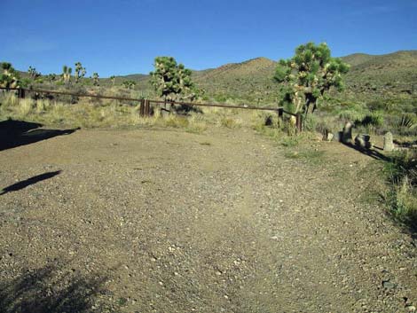 Trailhead parking (view NE) |
Overview Quartzite Mountain, a delightful and seldom-climbed peak, is the highest peak in the Las Vegas Range, the mountain range that borders the northern edge of the Las Vegas Valley. This hike begins in the Mojave Desert Scrub and runs up washes and canyons on an old road for 4.5 miles to a saddle in the Pinyon-Juniper Woodland. From the saddle, the route turns and runs off-trail up ridges and around quartzite boulders for another 2.3 miles to the summit. Views from the top are spectacular and extend into Utah, Arizona, and California, and thankfully, exclude almost all the Las Vegas urban area. Link to map or elevation profile. |
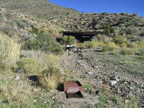 Quail Spring guzzler (view N) |
Watch Out Other than the standard warnings about hiking in the desert, ...this is a fairly safe hike. The trailhead should be accessible with a 2WD-HC vehicle, but inquire locally or use a 4WD. In a 2WD, stop atop a hill about 200 yards short of the trailhead. There is a bit scrambling on the summit ridge, and the summit requires somewhat exposed, minimally 3rd-class scrambling, but hikers who can get that far shouldn't have any problems. While hiking, please respect the land and the other people out there, and try to Leave No Trace of your passage. Also, this hike is long and remote, so be sure to bring the 10 Essentials. This is a wildlife refuge, so pay extra attention to respecting the land. Please, don't bother the bighorn sheep. They have a hard enough time making a living in these arid desert lands. |
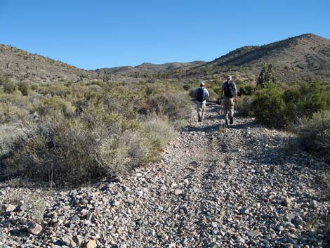 Old road in the wash (view N) |
Getting to the Trailhead This hike is located on the Desert National Wildlife Refuge, about 2.5 hours north of town. From town, drive out Corn Creek Road to Corn Creek Field Station and continue east 50 yards to a T-intersection. Turn right onto Mormon Well Road and drive south and then east for 4.35 miles to Gass Peak Road. Turn right onto Gass Peak Road (south) and follow it east for 8.6 miles to a fork about 1/2 miles past a signed trailhead on the right. Stay left onto Quail Spring Road and drive north another 1.4 miles to a parking area and trailhead at the end of the road. This road is a bit rough, so in a 2WD-HC vehicle, consider stopping about 1 minute short of the trailhead at a wide spot on the crest of a steep hill. Either place, park here; this is the trailhead. |
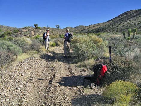 Old road along the wash (view N) |
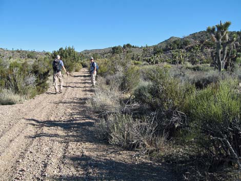
The Hike From the trailhead (Table 1, Waypoint 01), the route passes the metal barricade and runs northeast on an old road that quickly disappears into a wash. Following the wash, the old road eventually emerges from the gravel and generally runs up the west side of the wash. The vegetation here is Mojave Desert Scrub. The hillsides are dominated by Joshua Trees, Blackbrush, and Mojave Yucca, but there are many other species including nice examples of Indian Rice Grass. The wash supports a dense array of robust shrubs, including rabbitbrush, cliffrose, Apache plume, saltbush, Mormon tea, and a variety of sunflower shrubs. About 0.47 miles out, the route passes the Quail Spring guzzler (Wpt. 02), which is in the mouth of a shallow side canyon on the west side of the main wash. Approaching the guzzler, watch for wildlife (e.g., bighorn sheep, mule deer, and desert cottontail rabbits) fleeing into the hills. For details of getting to the Quail Spring, see Quail Spring Guzzler. |
 |
Continuing up the old road, the vegetation gradually begins to change. The first Utah juniper appear about 1.26 miles out (Wpt. 03), and the first single-leaf pinyon pines appear about 1.80 miles out (Wpt. 04). Somewhere along here, the common yucca species changes from Mojave Yucca to Banana Yucca. Cholla and Pricklypear cactus also become more common. The old road, badly washed out in places, continues up the main canyon, then almost imperceptibly turns to the east and runs up into a side canyon and around a hill, eventually turning back to the north. By the time the route passes an old campsite (Wpt. 05), the habitat type is Pinyon-Juniper Woodland. The old road runs up onto a saddle (Wpt. 06) with great views to the northwest towards Hayford Peak, the highest peak in the Sheep Range. Atop the saddle, the route leaves the road and runs off-trail up hillsides and ridges to the northeast. |
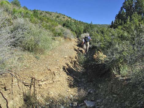 Washed out road (view N) |
The Singleleaf Pinyon pines and Utah Juniper trees on the ridge are fairly dense, but not so dense as to be a problem for hiking between them. Cliffrose, Mormon tea, banana yucca, sagebrush, and several varieties of cholla, hedgehog, pincushion, and pricklypear cactus fill in the gaps, but travel is fairly easy. In several places, quartzite boulders (white, sparkling rock) and rocky quartzite outcrops impede progress, but there are no cliffs of other major obstacles. The off-trail route up the ridge towards the high point is fairly straightforward: fairly steep hillsides are followed by gentle ridges leading ever upward except for shallow saddles between knobs and hillsides. From the old road on the saddle (Wpt. 06), the route runs east and up the hillside to the ridgeline (Wpt. 07), then climbs to a rocky knob (Wpt. 08). Dropping slightly from the knob, the route descends into a saddle. Continuing to climb, the route passes a quartzite knob on the side of the ridge (Wpt. 09) and continues up to a highpoint (Wpt. 10) on the south end of the summit ridge. From there, the route runs north to the South Summit (Wpt. 11), which unfortunately proves to be a false summit (Peak 7128, 7,128 ft elevation). |
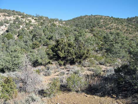 Departing the old road (view NE) |
It turns out that contouring across the west side of the South Summit, staying below the quartzite crags of the south summit, is a better route, but it is hard to tell from below. Consider this alternative for the hike back down. From the South Summit (Wpt. 11), the route runs north along the broad summit ridge to the true summit (Wpt. 12). Climbing onto the rocky summit knob requires some minimally 3rd-class scrambling. The route is easy and secure, but with a bit of exposure on both sides. The summit is a rocky knob formed of hard quartzite rock. Most of the quartzite is fine grained, as would be expected because quartzite is formed from sand or sandstone. However, there also is a thin layer of small, angular stones, suggesting that the sand, and here gravel, may have deposited on some ancient seashore or river channel in a bay. Despite the shallow soils on the rocky summit knob, there are several small singleleaf pinyon pine, one Utah juniper, several Apache plume and big sagebrush, and one nice green ephedra growing on the summit. Although the peak is clearly within the Pinyon-Juniper Woodland, there are a few Joshua Trees on the summit ridge. |
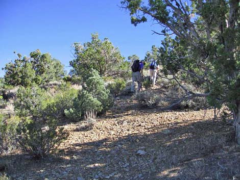 Ridge above saddle (view E) |
The sparse vegetation on the summit knob does not obscure the spectacular views. To the east, views extend past the Mormon and Virgin mountains out into Utah. To the southeast are Lake Mead and mountain ranges running off into Arizona. To the south are Gass Peak and a sliver of urban Las Vegas, with more mountain ranges running off into the haze. To the west, the Sheep Range blocks views to the horizon, but gives nice views of Sheep and Hayford peaks. In front of the Sheep Range are the Yucca Forest and the Pine Nut Road, Pee-a-Boo Canyon, and the Mormon Well Road. To the north and northeast are the Arrow Canyon Range and other ranges running up into the Great Basin. Return to the trailhead by retracing the route back down the ridges to the old road, and then follow the old road back to the trailhead. After dropping off the summit knob, consider contouring around the west side of the South Summit. The sidehill is easier to traverse than the ridgeline. Hiking back down the ridges, it is sometimes difficult to tell when to cut down the sidehills to the next ridge. Be sure to stay to the south and avoid dropping into the canyon bottoms. |
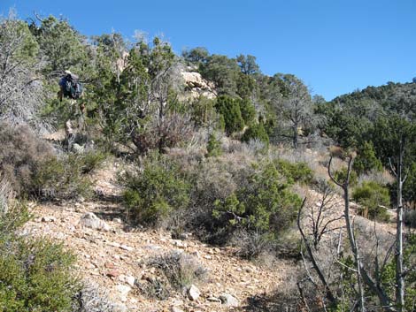 Hiker working up the hillside (view E) |
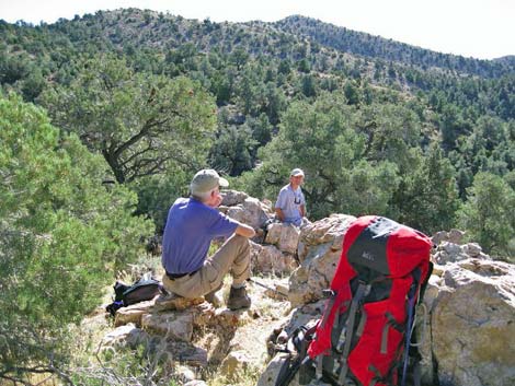 Quartzite outcrop (view SE) |
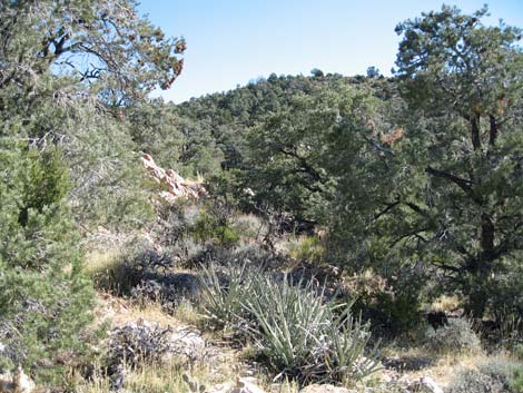 Continuing up the hillside (view NE) |
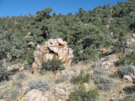 Quartzite boulder on the hillside (view NE) |
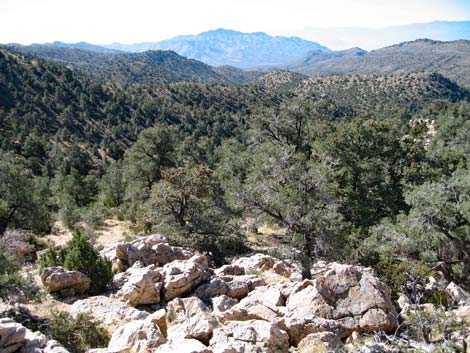 Looking back (view SW towards Gass Peak) |
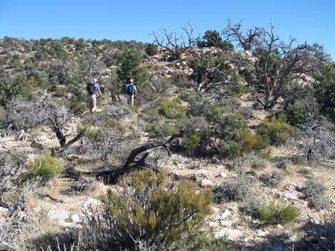 Hikers approaching the summit ridge (view NE) |
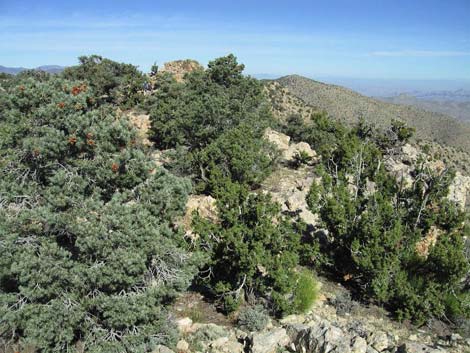 Summit ridge (view N) |
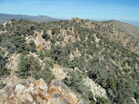 False summit (view N towards true summit) |
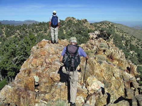 Hikers atop false summit (view N towards true summit) |
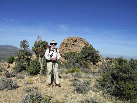 Flat area before true summit knob (view N) |
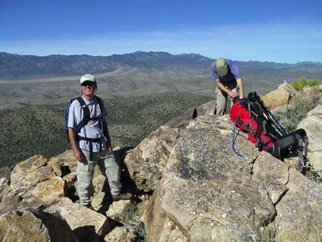 Hikers atop summit (view NW) |
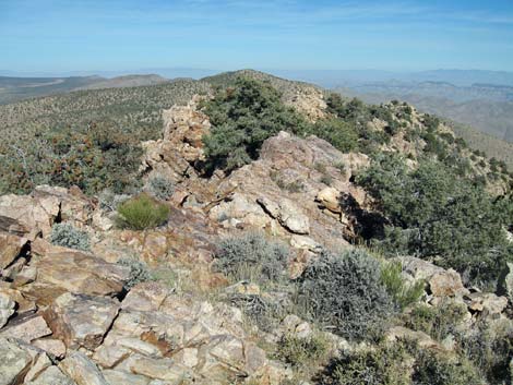 Summit (view N along the quartzite ridge) |
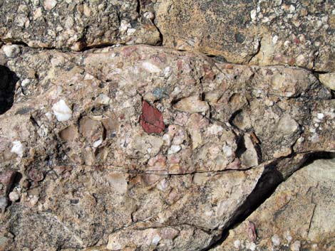 Coarse-grained quartzite on the summit |
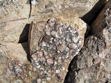 Coarse-grained quartzite on the summit |
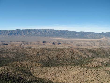 Summit (view NW towards Sheep Peak, on the right) |
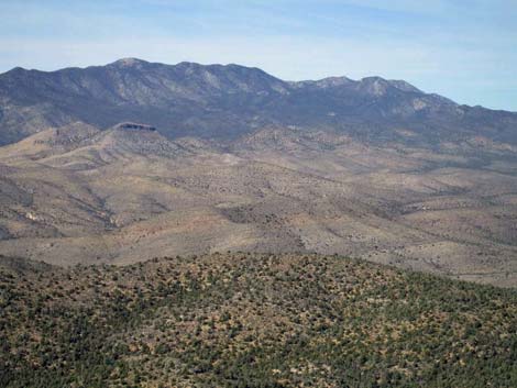 Summit (view NW towards Hayford Peak, on the right) |
The Descent
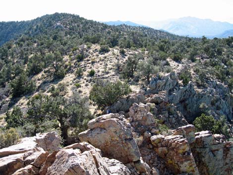 Departing the summit (view S) |
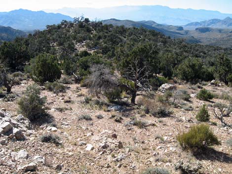 Traversing the summit ridge (view SW) |
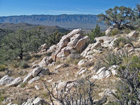 Descending across rocky hillsides (view SW) |
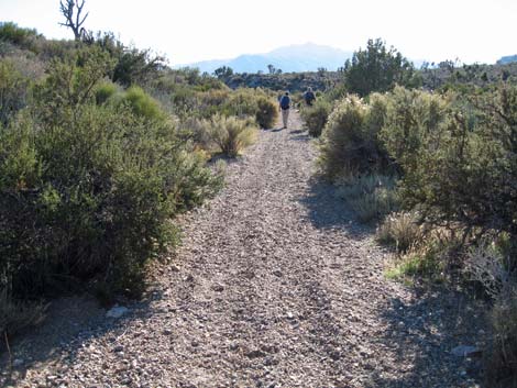 Hikers returning down the old road (view SW) |
Table 1. Hiking Coordinates Based on GPS Data (NAD27, UTM Zone 11S). Download Hiking GPS Waypoints (*.gpx) file.
| Wpt | Location | Time | Easting | Northing | Elevation (ft) | Point-to-Point Distance | Cumulative Distance | Verified |
|---|---|---|---|---|---|---|---|---|
| 01 | Trailhead | 0:00 | 666648 | 4035031 | 5,148 | 0.00 | 0.00 | GPS |
| 02 | Quail Spring guzzler | 0:11 | 666867 | 4035688 | 5,258 | 0.47 | 0.47 | GPS |
| 03 | First junipers | 0:33 | 667898 | 4036181 | 5,470 | 0.78 | 1.26 | GPS |
| 04 | First pinyon pine | 0:49 | 668373 | 4036849 | 5,573 | 0.55 | 1.80 | GPS |
| 05 | Old campsite | 1:50 | 670189 | 4039543 | 6,336 | 2.40 | 4.21 | GPS |
| 06 | Saddle | 1:57 | 670254 | 4040031 | 6,463 | 0.31 | 4.52 | GPS |
| 07 | Top of first steep part | 2:08 | 670443 | 4040069 | 6,598 | 0.14 | 4.66 | GPS |
| 08 | Side of a rocky knob | 2:18 | 670713 | 4040154 | 6,719 | 0.23 | 4.89 | GPS |
| 09 | Quartzite knob | 2:23 | 670829 | 4040168 | 6,747 | 0.09 | 4.97 | GPS |
| 10 | A high point | 2:59 | 671294 | 4040626 | 7,143 | 0.47 | 5.44 | GPS |
| 11 | High point | 3:03 | 671310 | 4040715 | 7,159 | 0.07 | 5.51 | GPS |
| 12 | Summit | 3:27 | 671354 | 4041110 | 7,183 | 0.31 | 5.82 | GPS |
Happy Hiking! All distances, elevations, and other facts are approximate.
![]() ; Last updated 240324
; Last updated 240324
| Hiking Around DNWR | Hiking Around Las Vegas | Glossary | Copyright, Conditions, Disclaimer | Home |