Hiking Around Las Vegas, Gold Butte National Monument
 Virgin Peak Rd at Virgin Corral; most hikers start near here (view N) |
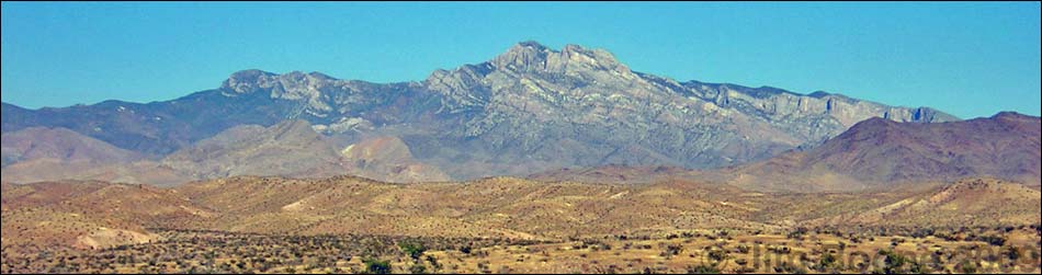
Note: Virgin Peak Road is washed out past the old corral, adding about 2 miles to the round-trip hike (now 11.5 miles total). Overview This is a scenic, 6-mile round-trip route that runs from an old road (5,340 ft) to the summit of Virgin Peak (8,063 ft). The access road is, however, washed out, and depending on the vehicle and current road conditions, hikers may need to add as many as 8 more miles round-trip (14 miles total). Most hikers should be able to drive the first mile, taking 2 miles off the worst-case total. There are no use-trails, few cairns, and lots of shrubs and trees, so although the route finding is easy, there is a lot of weaving around to find a way through the brush. Link to hiking map or elevation profile. |
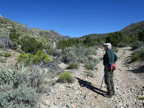
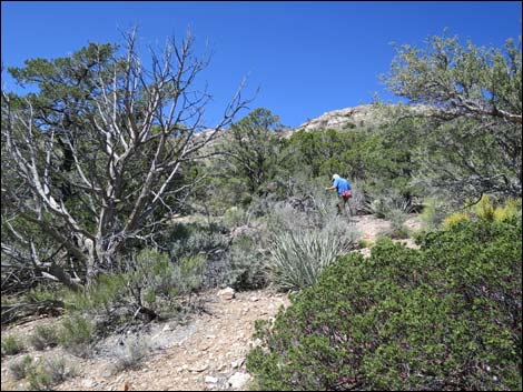
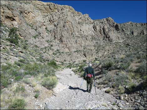 Hiker in the lower canyon (view N) |
Adding interest to the hike, there are many fossils along the ridge and the vegetation in the Virgin Mountains is unique in Nevada. The sunny south-facing slopes support Singleleaf Pinyon and Utah Juniper all the way to the summit, but from the summit, hikers can look down the shady north and east-facing slopes to see tall conifer trees, including White Fir, Douglas Fir, Rocky Mountain Juniper, and Arizona Cypress. The Douglas Fir, White Fir, and Arizona Cypress are Pleistocene relics here, species left over from the last ice age. There might also be California Juniper along the ridge, a species not otherwise known from this mountain range. |
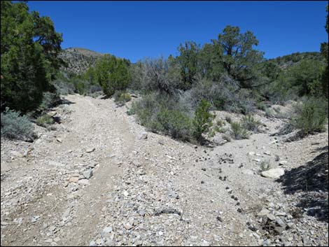
 In places, the road runs in the wash (view N) In places, the road runs in the wash (view N) |
Watch Out Other than the standard warnings about hiking in the desert, ...this is a fairly safe hike in a wild and remote place. I encountered no unusual hazards, but be careful when hiking near edges where falls could prove fatal. This is wild and remote country without services of any kind (no restrooms, no water, no gas, no food). Bring what you need to survive. Be prepared and be self-reliant. It is a big place, and someone will eventually find you if you stay on main roads, but be prepared to survive alone for a day or two, or even longer on side roads. While hiking, please respect the land and the other people out there, and try to Leave No Trace of your passage. Also, this is a remote hike, so be sure to bring the 10 Essentials. |
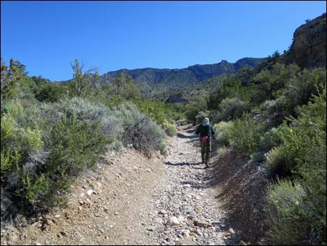
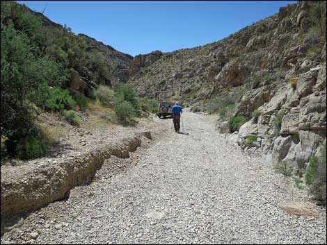
 Hiker in the upper canyon (view N) |
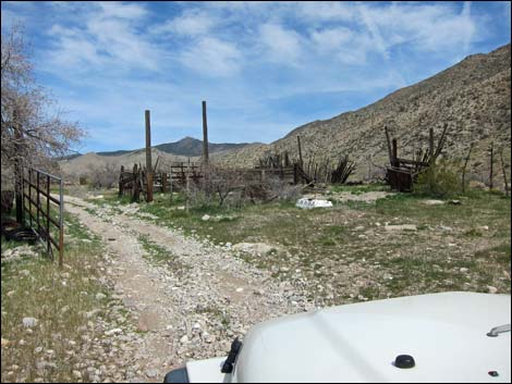
Getting to the Trailhead Virgin Peak is located out in Gold Butte National Monument at the northeast end of Lake Mead, about 2.5 hours northeast of Las Vegas in a wild, remote, and scenic area. From town, drive out to Gold Butte National Monument. From the end of the pavement at Whitney Pocket, continue south on the unpaved Gold Butte Road for about 120 yards to Whitney Pass Road, which forks off to the left. Turn left onto Whitney Pass Road and drive east 2.3 miles to Virgin Peak Road, on the left. In a 2WD vehicle park here at the start of the road. In a 4WD vehicle, drive north 0.8 miles to just past an old corral. In a 4WD-HC vehicle, continue north about 1 mile through the narrow canyon to a washout where big rocks block further passage. In rock-hopper jeeps or ATVs, continue another 2 miles to the Cowboy Campsite Trailhead. Park here; this is the trailhead. |
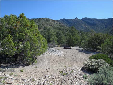 Water trough and agave roasting pit on spur road right (view E) |
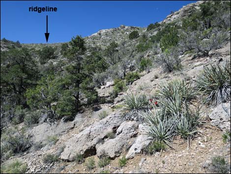
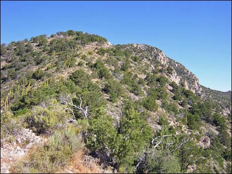
The Hike From the Cowboy Campsite Trailhead (Table 1, Waypoint 01), an obscure spur road branches to the left. The route runs southwest on this spur road 0.17 miles to a nice campsite on an overlook above the canyon (Wpt. 02). An ATV trail continues up the hill above the campsite for a few yards, then loops back down and right to intersect the spur road. From the top of the ATV trail loop, the route runs steeply up and across the brushy and rocky hillside for 0.27 miles to the ridgeline (Wpt. 03). At the crest of the ridge, the route turns northwest and runs straight up the ridgeline for 2.47 miles to the summit. The ridge generally is broad and easy to walk on, but there are many shrubs and trees to work around, and there is one narrow spot that can be passed by downclimbing a few yards on the west side of the ridge. The route crosses a knob 0.90 miles up the ridge (Wpt. 04), and 0.53 miles past the knob, there is a substantial cairn (Wpt. 05) on the ridgeline with rocks and sticks indicating a route off the ridge to the east. Continuing up the ridge, however, leads to the summit (Wpt. 06). |
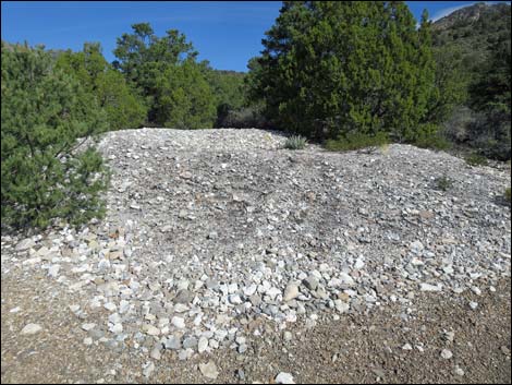 Agave roasting pit (view N) |
The ridge is formed of light gray carbonate rock with many fossils scattered about. There are several types of coral fossils, wing-shaped brachiopods, and snails about 2 inches across. Vegetation on the ridge is Pinyon-Juniper (Pinyon-Juniper Woodland Life Zone) and quite shrubby. Lower on the ridge, common species include blackbrush, apache plume, cliffrose, green ephedra, sagebrush, utah agave, various species of pricklypear and cholla cactus, mahonia, and bunchgrasses. At middle elevations, there is some shrub live oak on the ridge, and higher up there is a fair bit of mountain mahogany. |
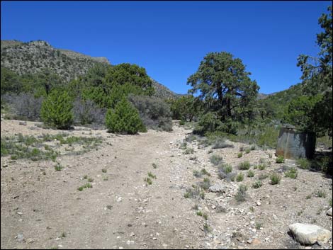
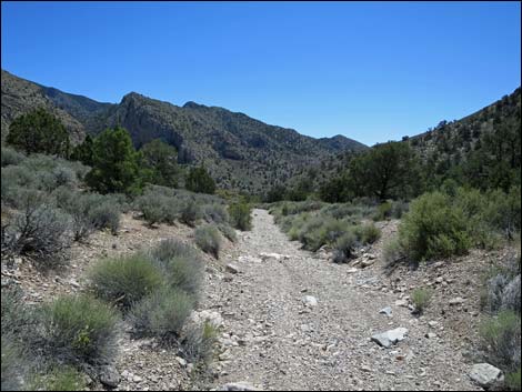
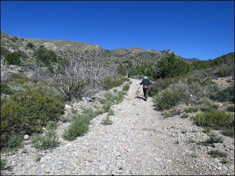 Route continues up road in the main canyon (view N) |
Vegetation in the Virgin Mountains is unique in Nevada. The lower elevations are typical Mojave Desert Scrub (Upper Sonoran Life Zone), and the sunny south-facing slopes support Singleleaf Pinyon and Utah Juniper (Pinyon-Juniper Woodland Life Zone) all the way to the summit. From the summit, however, you can look down the shady north and east-facing slopes to see tall conifer trees (mix of Yellow Pine and Pine-Fir Life Zones), including White Fir, Douglas Fir, and Arizona Cypress. There used to be Ponderosa Pine on these slopes too, but all of the Ponderosa Pine burned during a wildfire in the 1940s. The Douglas Fir and Arizona Cypress are Pleistocene relict species here, species left over here from the ice age. Although not confirmed by real botanists, there might also be California Juniper along the southeast ridge, a species not otherwise known from this mountain range. |
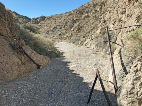
 Road departs the wash to the left (view N) |
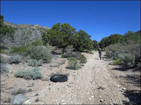 Old ranching junk begins to appear (view N) |
 First of three water tanks (on the right; view N) |
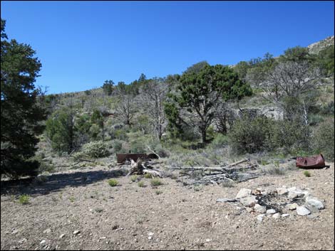 Old campsite with ranching junk (view SW) |
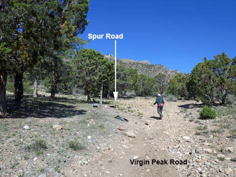 After campsite, hiker approaches spur road to the left (view N) |
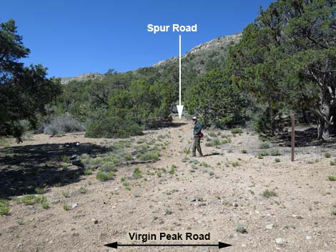 Hiker starting up spur road (view W) |
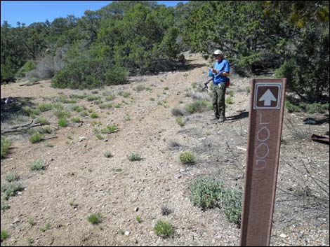 Designated road sign for spur road (view W) |
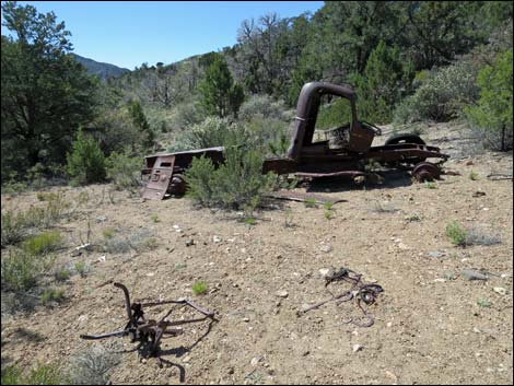 Old truck at Cowboy Campsite (view SW) |
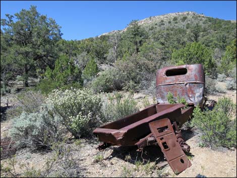 Old truck at Cowboy Campsite (view W) |
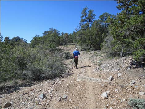 Hiker continuing up spur road (view SW) |
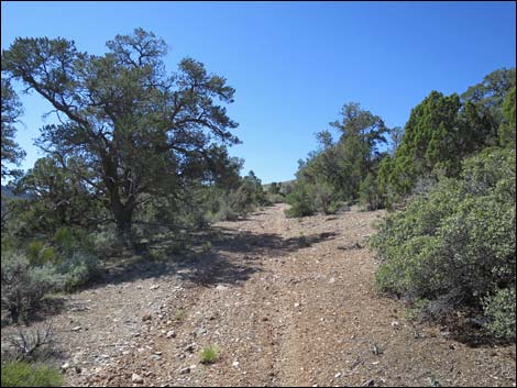 Spur road (view SW) |
 Spur road, here looping back (easier to stay left on loop; view SW) |
 Hiker departing the spur road (view W) |
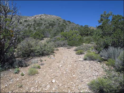
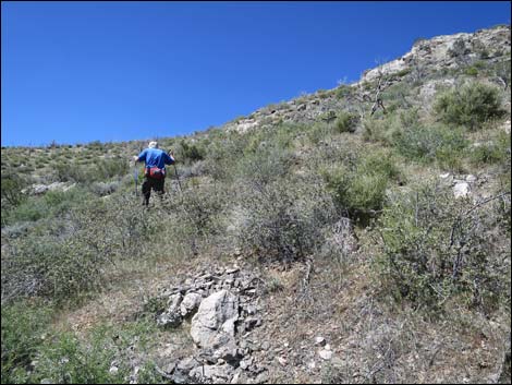
 Easiest to aim high, but head for the ridgeline (view W) |
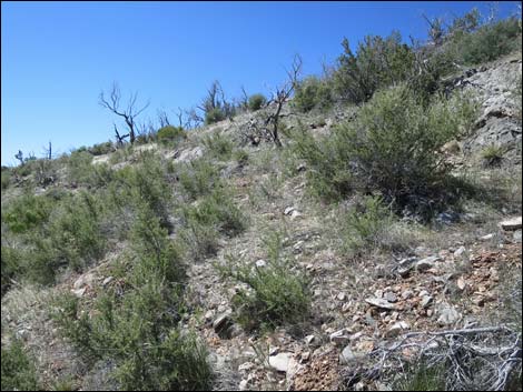
 Hiker climbing hillside in burn zone (view SW) |
 Steep hillside in burn zone (view SW) |
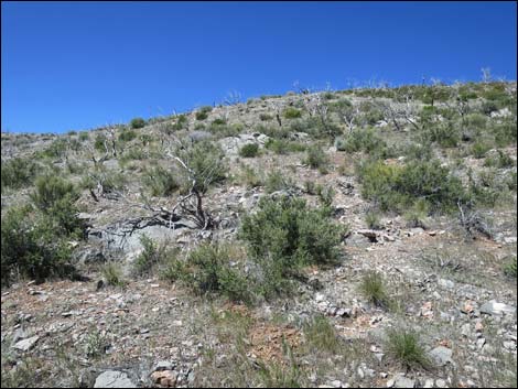 Not-quite-so-steep hillside in burn zone (view SW) |
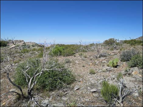 Approaching the ridgeline (view W) |
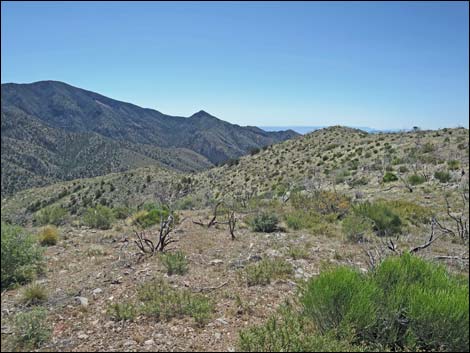
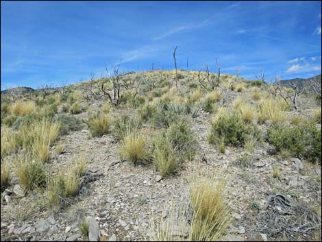
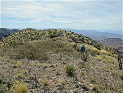
 Ridgeline (view SW) |
 Ridgeline (view SW; zoom) |
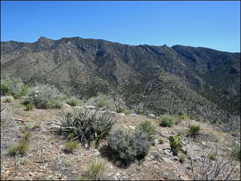
 Ridgeline (view S) |
 Ridgeline (view E) |
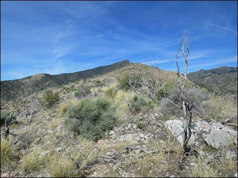
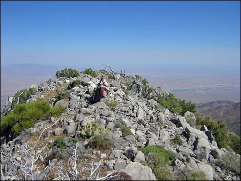
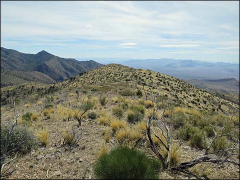
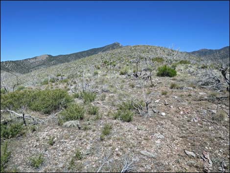 Ridgeline (view N) |
 Ridgeline (view N) |
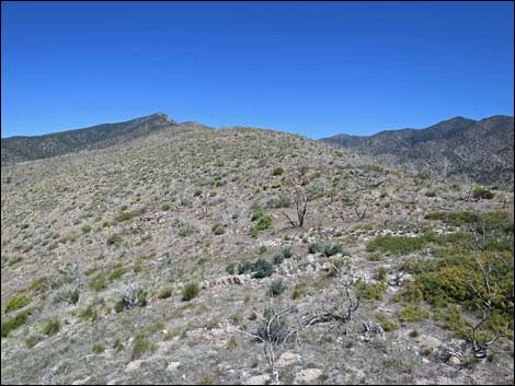
 Ridgeline (view N; 2016 conditions) |
 Ridgeline (view N; 2016 conditions) |
 Ridgeline (view N; 2002 conditions before fire) |
 Route continues up ridgeline through burn area (view N) |
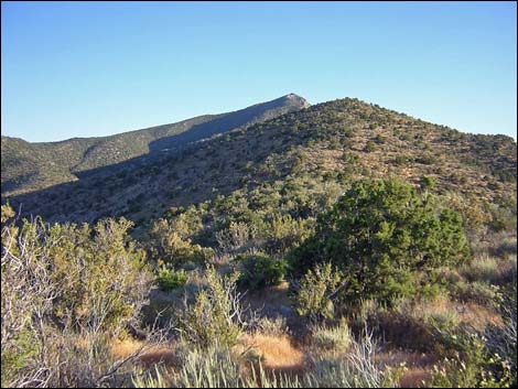
 Route continues up ridgeline through forested area (view N) |
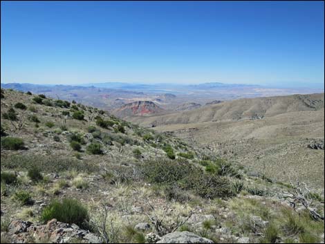
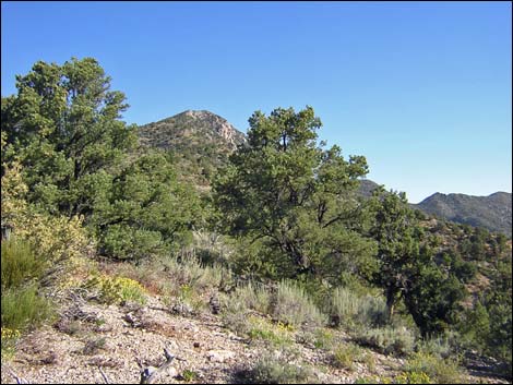
 Route continues up the southeast ridge (view NW) |
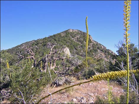 Southeast ridge with blooming agave (view NW) |
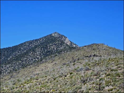
 Approaching the summit (view N) |
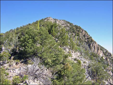
 Summit (view N) |
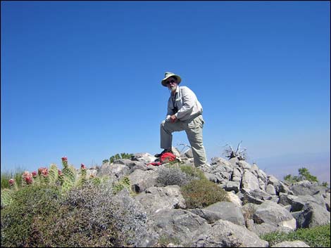 Summit (view N) |
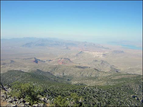
 Summit (view NE into Utah) |
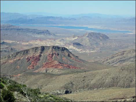
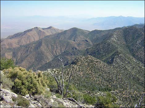
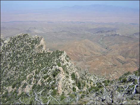
 Summit (view SE across Gold Butte area) |
 Summit (view NW towards Mormon Mountains) |
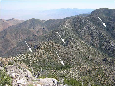 Patches (arrows) of Pleistocene relict forest near summit |
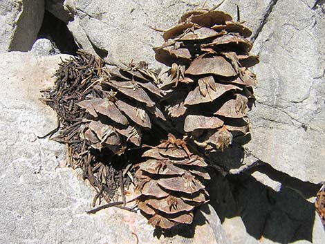 Douglas Fir cones -- you won't see these elsewhere in So. Nevada |
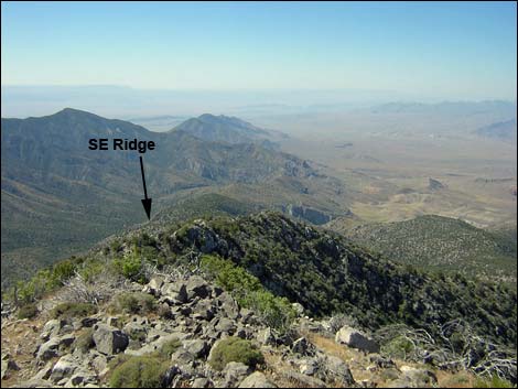 Descent along southeast ridge (view SE) |
Returning to the Trailhead
 Returning down the main ridge (view S) |
 Approaching point to turn off main ridge to the east (view S) |
 Returning down the upper canyon (view S) |
 Returning back through to narrows (view SW) |
 Hiker arriving at the old trailhead (view SW) |
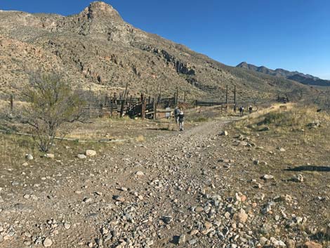 Hikers returning back to Virgin Corral (view S) |
Table 1. Hiking Coordinates Based on GPS Data (NAD27; UTM Zone 11S). Download Hiking GPS Waypoints (*.gpx) file.
| Wpt. | Location | UTM Easting | UTM Northing | Elevation (ft) | Point-to-Point Distance (mi) | Cumulative Distance (mi) |
|---|---|---|---|---|---|---|
| 01 | Trailhead at Cowboy Campsite | 760105 | 4051397 | 5,341 | 0.00 | 0.00 |
| 02 | Top of Spur Road | 760012 | 4051261 | 5,450 | 0.15 | 0.15 |
| 03 | Crest of the Ridge | 759691 | 4051210 | 5,855 | 0.26 | 0.41 |
| 04 | Knob on the Ridge | 759243 | 4052487 | 6,565 | 0.90 | 1.31 |
| 05 | Big Cairn | 758976 | 4053163 | 6,933 | 0.51 | 1.82 |
| 06 | Summit | 758387 | 4054485 | 8,063 | 1.04 | 2.86 |
| 01 | Trailhead at Cowboy Campsite | 760105 | 4051397 | 5,341 | 2.86 | 5.72 |
Happy Hiking! All distances, elevations, and other facts are approximate.
![]() ; Last updated 240326
; Last updated 240326
| Hiking Around Gold Butte | Hiking Around Las Vegas | Glossary | Copyright, Conditions, Disclaimer | Home |