
Backroads Around Las Vegas, Desert National Wildlife Refuge

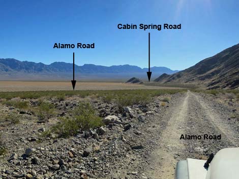 Alamo Road approaching Cabin Spring Road (view SE) |
Overview Cabin Spring Road is an 8.9-mile spur road that runs southeast from Alamo Road. In several miles, the bumpy road crosses the broad Dry Lake Valley to climb into Cabin Canyon in the rugged northern extension of the Sheep Range. The road ends at a little-used traditional camping area and trailhead high in the Pinyon Juniper Woodland life zone. This road is little used, well washed out, and quite rocky. Cabin Spring Road is a long, slow drive into a remote area, and although most of it is a 2WD-HC road, a few spots of loose gravel and the crossing of deep gullies make a 4WD vehicle the safer way to go. For general information on camping, hiking, regulations, other issues, and the natural history of the Wildlife Refuge, see the Desert National Wildlife Refuge -- Area Overview page. Link to map. |
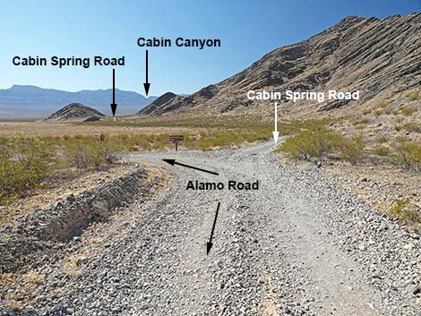 Alamo Road at Cabin Spring Road (view SE) |
Watch Out Other than the standard warnings about hiking in the desert... Cabin Spring Road runs in washes with loose, deep gravel, making it most suitable for 4WD vehicles, especially given that it runs out into such wild and remote country. There are no services or developments of any kind. Cell phones don't work. Bring water and food, a good spare tire, a shovel, tools, a tow rope, bailing wire (I learned the hard way) and anything else that you might need to survive a day or two stuck out in the desert. While out there, please respect the land and the other people out there, and try to Leave No Trace of your passage. This road runs into remote country, so be sure to bring the 10 Essentials. This is a wildlife refuge, so pay extra attention to respecting the land and stay on the roadway. |
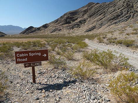 Directional sign at road intersection (view SE) |
Location Cabin Spring Road is located on the Desert National Wildlife Refuge and starts about 3-1/2 hours northwest of Las Vegas. To get there, drive out to the Information Kiosk (Table 1, Site 0106) at Corn Creek Field Station. Continue east about 100 yards to a T-intersection. Turn left onto Alamo Road, and follow it north for 39.5 miles to Cabin Canyon Road (Site 0098), which forks off to the southeast (right). |
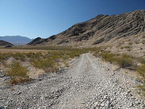 Beginning of Cabin Spring Road (view SE; 0.0 miles out) |
The Road From Alamo Road (Site 0098), Cabin Spring Road runs southeast over a low saddle (with a campsite) and out into the broad southeast end of Dry Lake Valley. The road rocks, rolls, and bumps along over rocks, washouts, washes, and more rocks, climbing slowly towards Cabin Canyon. The road was graded years ago, but now the road essentially is a two-track with shrubs in the center. Despite this, much of the road is suitable for 2WD-HC vehicles, but patches of deep, loose gravel and the remote location require a 4WD vehicle. As the road climbs into Cabin Canyon, it essentially disappears into the gravel, but wide spots between bushes serve as the road until the it eventually ends at a wide spot with a fire ring. |
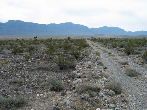 Cabin Spring Road (view SE; 2.6 miles out) |
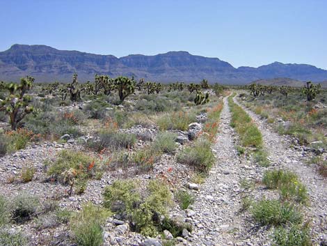 Cabin Spring Road (view SE; 3 miles out) |
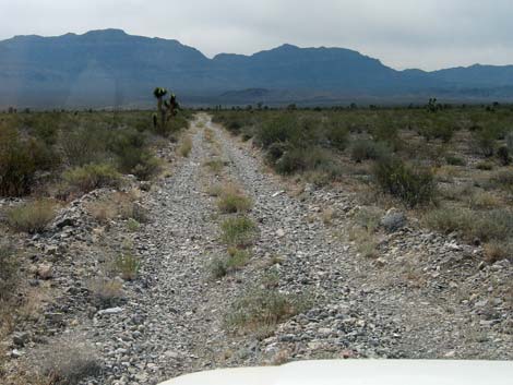 It's a long, straight, but bumpy road (view SE) |
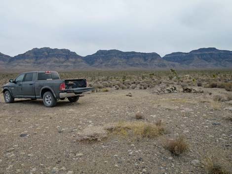 Campsite (view SE back towards Cabin Spring; 5.3 miles out) |
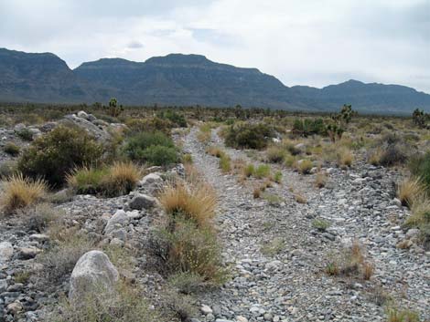 Cabin Spring Road (view SE; 5.4 miles out) |
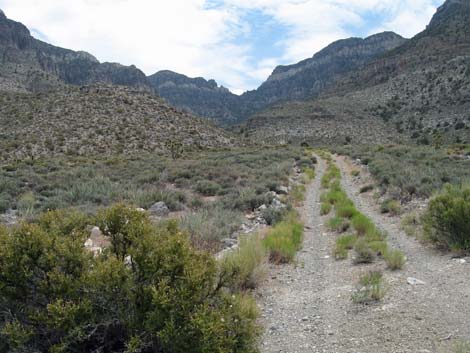 Cabin Spring Road (view SE; 8.1 miles out) |
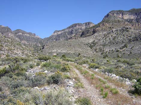 Cabin Spring Road (view SE) |
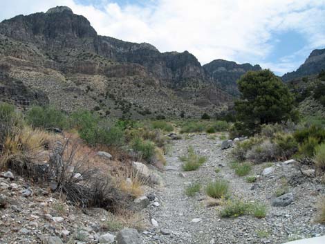 Cabin Spring Road (view SE; 8.4 miles out) |
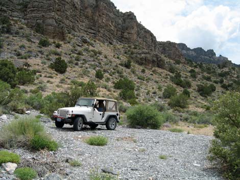 End of Cabin Spring Road (view SE 8.9 miles out) |
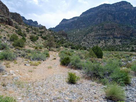 Old road (trail) continues into Cabin Spring Canyon (view SE) |
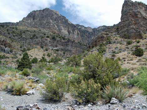 Cabin Spring Canyon (view E) |
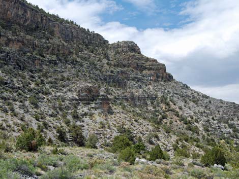 Cabin Spring Canyon (view S) |
Returning Back Down Cabin Spring Road
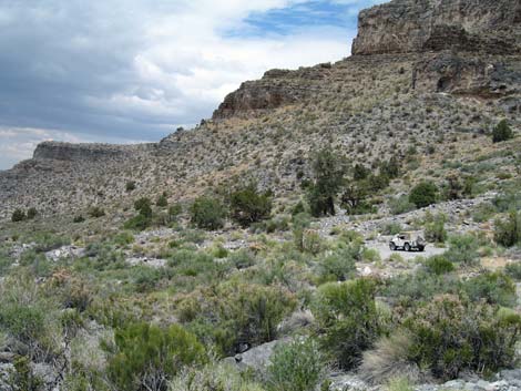 Vehicle at end of Cabin Spring Road (view N) |
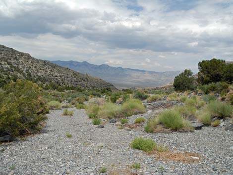 Cabin Spring Road (view NW from end of road) |
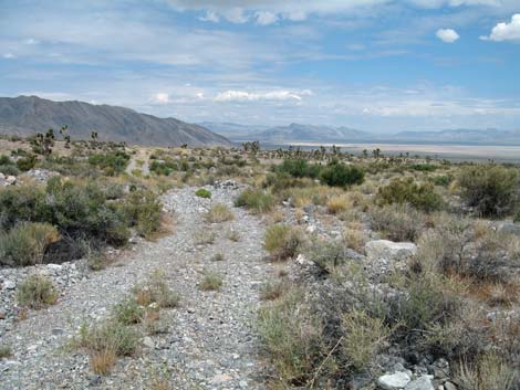 Cabin Spring Road (view NW; 5.4 miles to Alamo Road) |
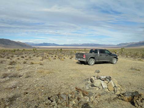 Campsite (view NW towards Desert Dry Lake; 5.3 miles out) |
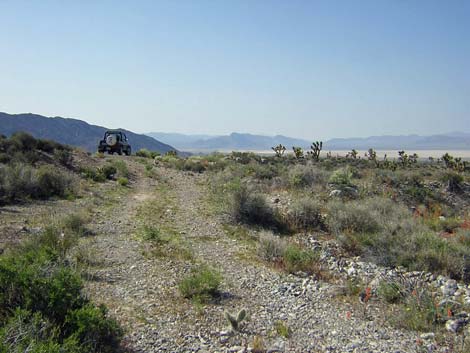 Cabin Spring Road (view NW) |
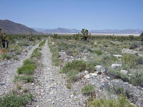 Cabin Spring Road (view NW; 3 miles to Alamo Road (view NW) |
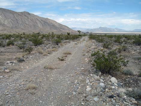 Cabin Spring Road (view NW; 2.6 miles to Alamo Road) |
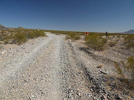 Approaching Alamo Road (view NW; 0.1 to Alamo Road)) |
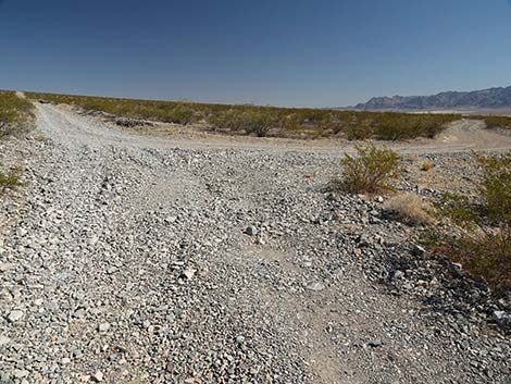 Arriving at Alamo Road (view NW; 0.0 to Alamo Road)) |
 More to come ... |
Table 1. Highway Coordinates Based on GPS data (NAD27; UTM Zone 11S). Download Highway GPS Waypoints (*.gpx) file.
| Site # | Location | UTM Easting | UTM Northing | Latitude (N) | Longitude (W) | Elevation (ft) |
|---|---|---|---|---|---|---|
| 0098 | Alamo Rd at Cabin Spring Rd | 656773 | 4087799 | 36.92502 | 115.23987 | 3,235 |
| 0106 | Corn Creek parking area | 647225 | 4033632 | 36.43845 | 115.35745 | 2,814 |
| 0637 | Cabin Spring Road End | 667716 | 4079662 | 36.84983 | 115.11888 | 5,593 |
Happy Hiking! All distances, elevations, and other facts are approximate.
![]() ; Last updated 241027
; Last updated 241027
| Hiking Around DNWR | Hiking Around Las Vegas | Glossary | Copyright, Conditions, Disclaimer | Home |