
Backroads Around Las Vegas, Desert National Wildlife Refuge

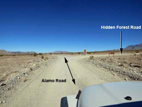 Alamo Road approaching Hidden Forest Road (view N) |
Overview Hidden Forest Road is a 3.7-mile spur road that runs east from Alamo Road and leads to a trailhead for the Hidden Forest Cabin, Hayford Peak, and Sheep Peak routes. The road usually is suitable for 2WD-HC vehicles, as the road surface is firm and there are no particularly large rocks or other hazards in the roadway, although it is a bit bumpy. The trailhead is suitable for camping, although there is nothing entirely level upon which to pitch a tent. Campfires are prohibited. For general information on camping, hiking, regulations, other issues, and the natural history of the Wildlife Refuge, see the Desert National Wildlife Refuge -- Area Overview page. Link to map. |
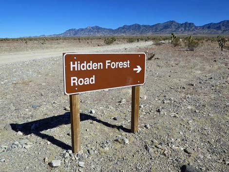 Hidden Forest Road sign (view NE from Alamo Road) |
Watch Out Other than the standard warnings about hiking in the desert... Hidden Forest Road generally is a good dirt road, but it does run along the edge of Deadman Wash, and it would be possible to drive off the road, tip over the cliffs, and up a dead man in the bottom of the wash. This road runs out into wild and remote country. There are no services or developments of any kind. Cell phones don't work. Bring water and food, a good spare tire, a shovel, tools, a tow rope, bailing wire (I learned the hard way) and anything else that you might need to survive a night stuck out in the desert. While out there, please respect the land and the other people out there, and try to Leave No Trace of your passage. Also, this road leads to remote country, so be sure to bring the 10 Essentials. This is a wildlife refuge, so pay extra attention to respecting the land and stay on the roadway. |
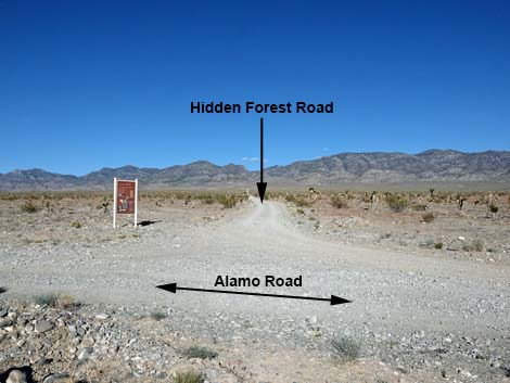 Hidden Forest Road (view E from Alamo Road) |
Location Hidden Forest Road is located on the Desert National Wildlife Refuge and starts about 1.5 hours northwest of Las Vegas. To get there, drive out Corn Creek Road to the Visitor Center (Table 1, Site 0106) at Corn Creek Field Station. Continue east for about 100 yards to a T-intersection. Turn left onto Alamo Road, and follow it north for 14.8 miles to the signed Hidden Forest Road (Site 0882), which runs to the east (right). |
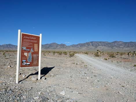 Information sign at the intersection (view E) |
The Road From Alamo Road (Site 0882), Hidden Forest Road runs east up the bajada towards the Sheep Range with Deadman Canyon in the background. The road climbs consistently and fairly straight for 3.7 miles, passing through a nice joshua tree forest. The road runs up the bajada, tracking parallel to Deadman Canyon Wash. Near the mountains, the grade increases a bit and the road runs onto a bench overlooking the wash with nice views to the north. The road ends at a parking area (Site 0445) between a steep hillside and a drop-off into the wash below. There is a trailhead sign, and just past the end of the parking a gate blocks the old road, but the hiking trail continues down the closed road into the wash below. The Hidden Forest Cabin, Hayford Peak, and Sheep Peak routes begin at the end of the road. |
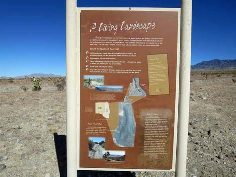 Information sign: A Living Landscape (view E) |
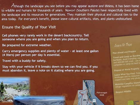 Information sign: A Living Landscape (view E) |
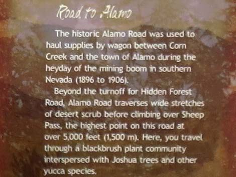 Information sign: Road to Alamo - part 1 (view E) |
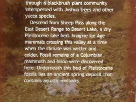 Information sign: Road to Alamo - part 2 (view E) |
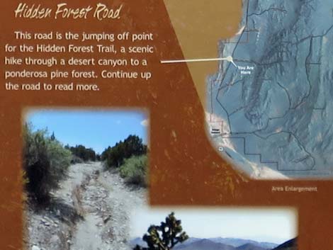 Information sign: A Living Landscape (view E) |
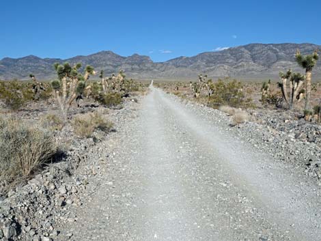 Starting up Hidden Forest Road (view E) |
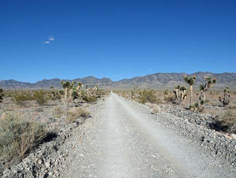 Hidden Forest Road (view E) |
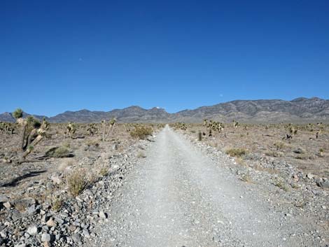 A nice forest of joshua trees (view E) |
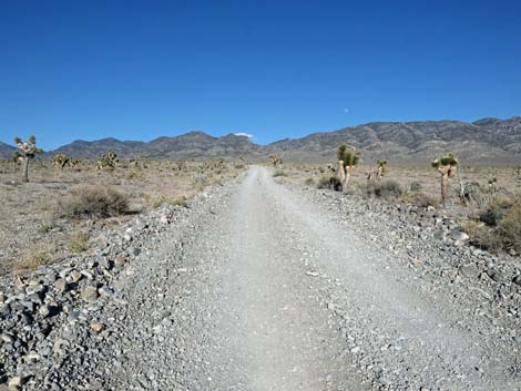 Hidden Forest Road (view E) |
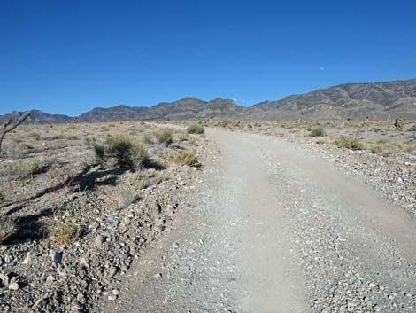 Hidden Forest Road (view E) |
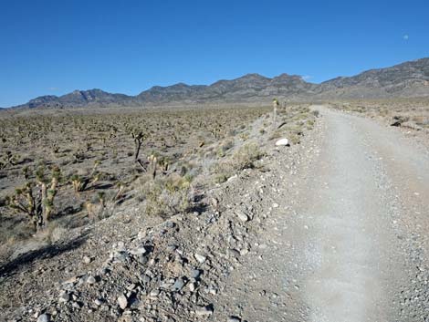 The road runs up onto the edge of Deadman Wash (view E) |
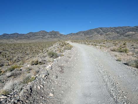 Hidden Forest Road (view E) |
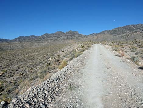 Running on the edge of Deadman Wash (view E) |
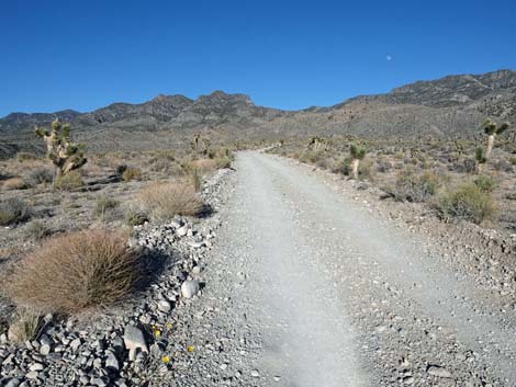 Hidden Forest Road (view E) |
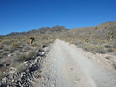 Hidden Forest Road (view E) |
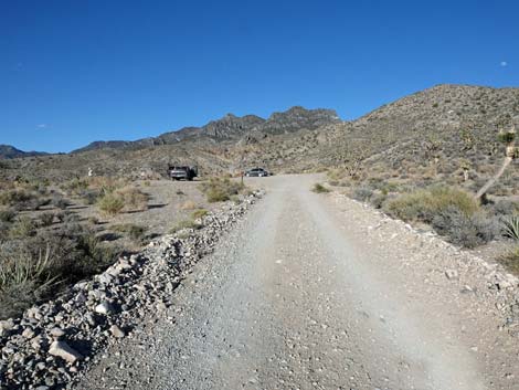 Approaching Hidden Forest trailhead parking (view E) |
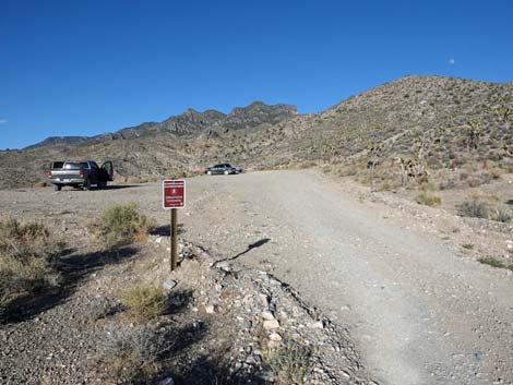 Sign at entrance to Hidden Forest trailhead parking (view E) |
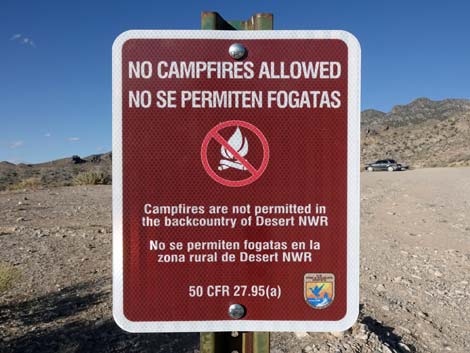 Sign: No campfires allowed (view NE) |
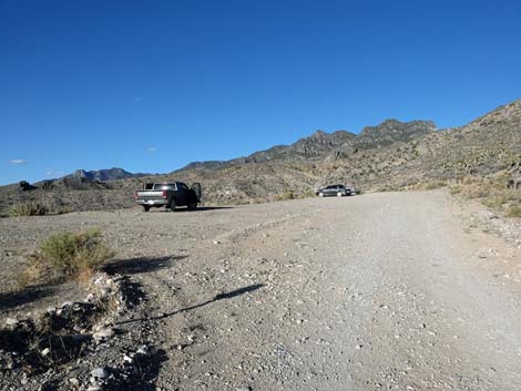 Entering the Hidden Forest trailhead parking area (view E) |
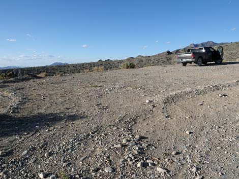 Hidden Forest Trailhead parking (view E) |
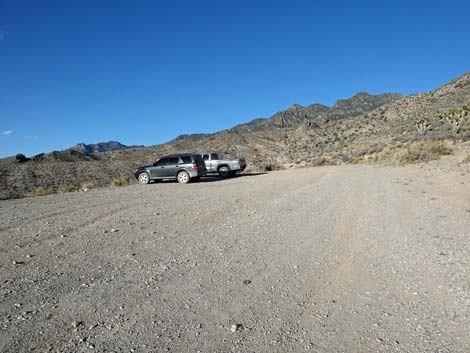 Hidden Forest Trailhead parking (view E) |
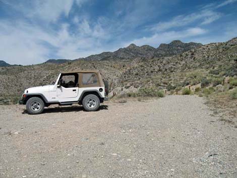 End of Hidden Forest Trailhead parking (view E) |
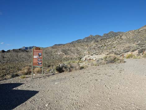 Hidden Forest trailhead sign (view NE) |
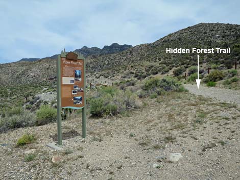 Hidden Forest trailhead sign and start of the trail (view NE) |
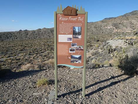 Hidden Forest trailhead sign (view N) |
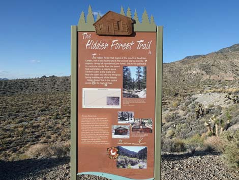 Hidden Forest trailhead sign (view N) |
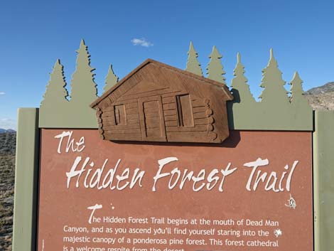 Nice touch on the Hidden Forest trailhead sign (view N) |
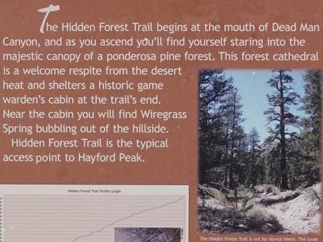 Hidden Forest trailhead sign (view N) |
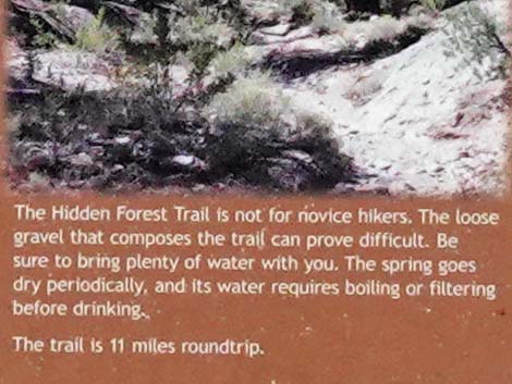 Hidden Forest trailhead sign (view N) |
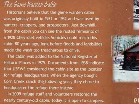 Hidden Forest trailhead sign (view N) |
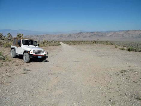 Hidden Forest Trailhead parking (looking back down; view W) |
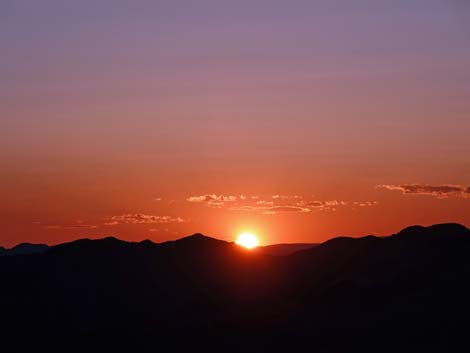 If you camp before an early start, you might see this! (view W) |
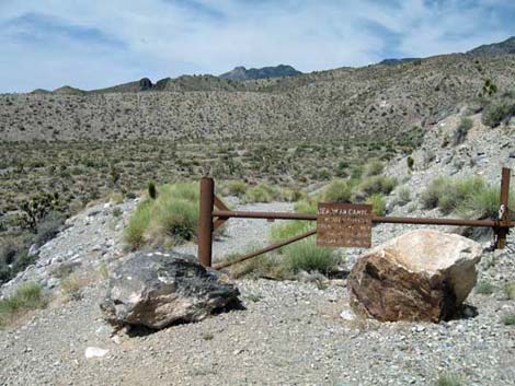 Trailhead gate |
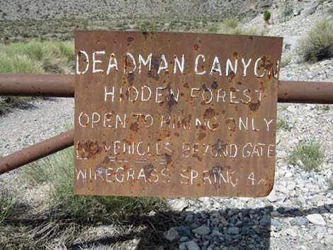 Trailhead gate (note that Wiregrass Spring is actually 5.5 miles out) |
Table 1. Highway Coordinates Based on GPS data (NAD27; UTM Zone 11S). Download Highway GPS Waypoints (*.gpx) file.
| Site # | Location | UTM Easting | UTM Northing | Latitude (N) | Longitude (W) | Elevation (ft) | Verified |
|---|---|---|---|---|---|---|---|
| 0106 | Corn Creek parking area | 647225 | 4033632 | 36.43845 | 115.35745 | 2,814 | Yes |
| 0445 | Hidden Forest Trailhead Parking | 653169 | 4054873 | 36.62892 | 115.28694 | 5,828 | Yes |
| 0882 | Alamo Rd at Hidden Forest Rd | 647277 | 4055447 | 36.63502 | 115.35270 | 4,490 | Yes |
Happy Hiking! All distances, elevations, and other facts are approximate.
![]() ; Last updated 240729
; Last updated 240729
| Hiking Around DNWR | Hiking Around Las Vegas | Glossary | Copyright, Conditions, Disclaimer | Home |