
Backroads Around Las Vegas, Desert National Wildlife Refuge

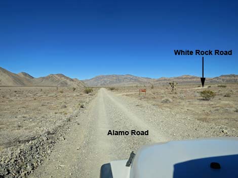 Alamo Road approaching White Rock Road (view N) |
Overview White Rock Road is a 3.0-mile spur road that runs east from Alamo Road to a trailhead for White Rock Spring (dry) and routes into the Sheep Range. The road is rough, but generally is suitable for 2WD-HC vehicle. The road was graded long ago, but now is essentially a two-track. Despite this, it generally is firm and there are no particularly large rocks or other hazards in the roadway. For general information on camping, hiking, regulations, other issues, and the natural history of the Wildlife Refuge, see the Desert National Wildlife Refuge -- Area Overview page. Link to map. |
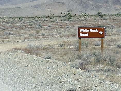 Alamo Road at White Rock Road sign (view NE) |
Watch Out Other than the standard warnings about hiking in the desert... White Rock Road generally is a good dirt road, but it runs out into wild and remote country. There are no services or developments of any kind. Cell phones don't work. Bring water and food, a good spare tire, a shovel, tools, a tow rope, bailing wire (I learned the hard way) and anything else that you might need to survive a night stuck out in the desert. While out there, please respect the land and the other people out there, and try to Leave No Trace of your passage. Also, this road leads to remote country, so be sure to bring the 10 Essentials. This is a wildlife refuge, so pay extra attention to respecting the land and stay on the roadway. |
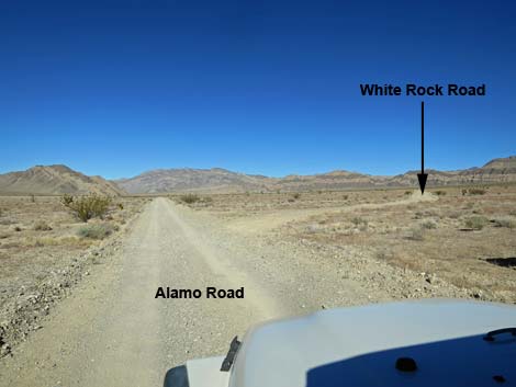 Alamo Road at White Rock Road (view N) |
Location White Rock Road is located on the Desert National Wildlife Refuge about 2 hours northwest of Las Vegas. To get there, drive out to the Information Kiosk (Table 1, Site 0106) at Corn Creek Field Station. Continue east for about 250 feet to a T-intersection. Turn left onto Alamo Road, and follow it north for 20.6 miles to White Rock Road (Site 0455), which is to the east (right). |
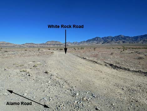 White Rock Road (view NE from Alamo Road) White Rock Road (view NE from Alamo Road) |
The Road From Alamo Road (Site 0455), White Rock Road runs east towards the Sheep Range. Running up the bajada, the road passes black cliffs, and then runs up onto a low ridge overlooking White Rock Wash. The road remains on the low ridge the rest of the way. After climbing consistently and fairly straight for 3.0 miles, the road ends at volcanic ash bluffs (the white rocks) on the edge of White Rock Wash. The road ends at a parking area (Site 0506) that is blocked with boulders and a small "no vehicles" sign. Campers will find ample space at the end of the road, and hiking routes lead into the Sheep Range. |
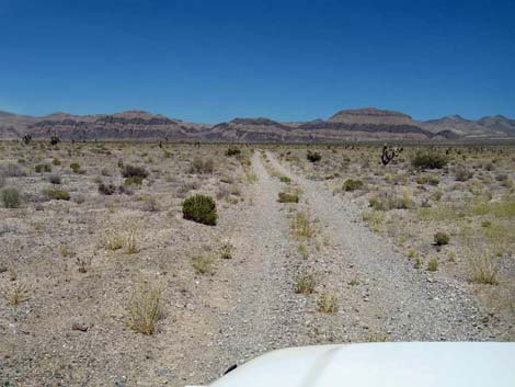 White Rock Road departing Alamo Road (view NE) |
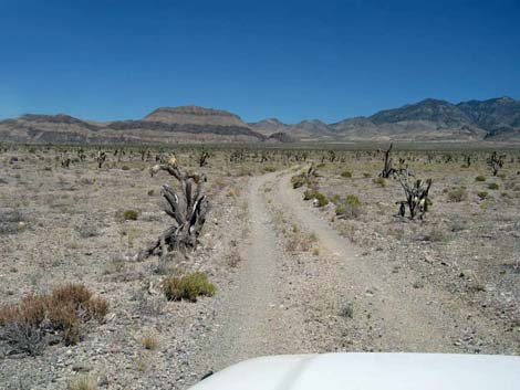 White Rock Road, 0.3 miles E of Alamo Road (view NE) |
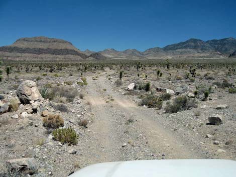 White Rock Road, 1.0 miles E of Alamo Road |
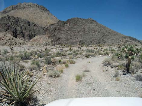 White Rock Road, 2.1 miles E of Alamo Road |
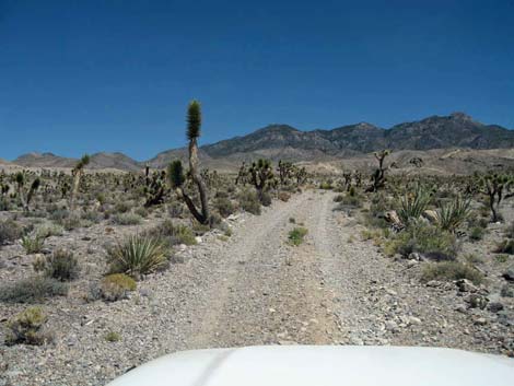 White Rock Road, 2.2 miles E of Alamo Road |
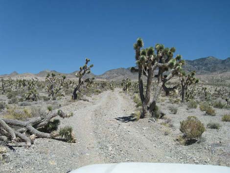 White Rock Road, 2.24 miles E of Alamo Road |
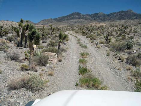 White Rock Road, 2.4 miles E of Alamo Road |
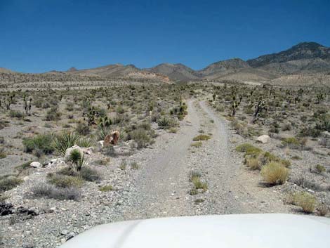 White Rock Road, 2.7 miles E of Alamo Road |
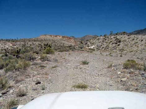 Parking at end of White Rock Road |
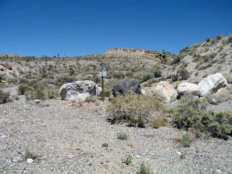 Barricade at end of White Rock Road (view E) |
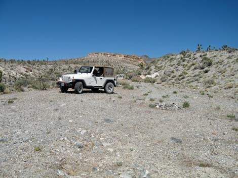 White Rock Trailhead (view E) |
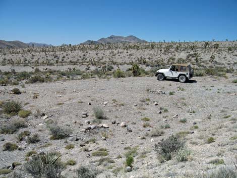 White Rock Trailhead (view N) |
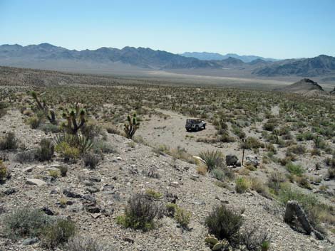 Ridge above trailhead (view W) |
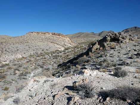 Ridge above trailhead (view E) |
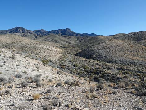 Ridge above trailhead (view SE) |
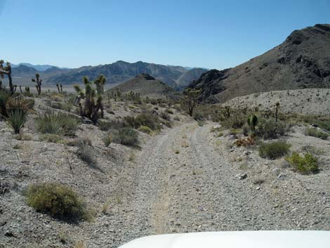 Heading down, 2.6 miles east of Alamo Road (view W) |
Table 1. Highway Coordinates Based on GPS Data (NAD27; UTM Zone 11S). Download Highway GPS Waypoints (*.gpx) file.
| Site # | Location | UTM Easting | UTM Northing | Latitude (N) | Longitude (W) | Elevation (ft) | Verified |
|---|---|---|---|---|---|---|---|
| 0106 | Corn Creek parking area | 647225 | 4033632 | 36.43845 | 115.35745 | 2,814 | Yes |
| 0455 | Alamo Rd at White Rock Rd | 650602 | 4064040 | 36.71194 | 115.31384 | 4,230 | Yes |
| 0506 | White Rock Rd Trailhead | 655137 | 4064222 | 36.71285 | 115.26305 | 5,151 | Yes |
Happy Hiking! All distances, elevations, and other facts are approximate.
![]() ; Last updated 240324
; Last updated 240324
| Hiking Around DNWR | Hiking Around Las Vegas | Glossary | Copyright, Conditions, Disclaimer | Home |