
Hiking Around Las Vegas, Grand Canyon National Park

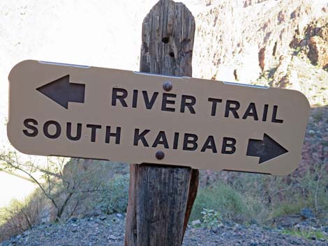 South Kaibab -- River Trail junction sign (view N) |
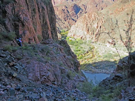
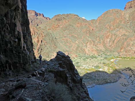
Overview The River Trail is a 1.8-mile connector that runs along the south side of the Colorado River between the South Kaibab Trail (east) and the north end of the Bright Angel Trail at Pipe Canyon (west). Parts of the trail were hacked from the cliffs by hand crews many years ago, and as such often follows the path of least resistance, which was not right along the river. The trail is described (NPS webpage) as having "little elevation variation [as it] follows the Colorado River," but this is not entirely accurate, as there is considerable steep up and down, even if the two ends are roughly at the same elevation. Perhaps the "little elevation variation" comment is relative to starting at the rim and hiking all the way down. Presented here are photos of the trail in the westbound direction. For a full description of the trail, including GPS waypoints, see River Trail -- Westbound. Link to map. |
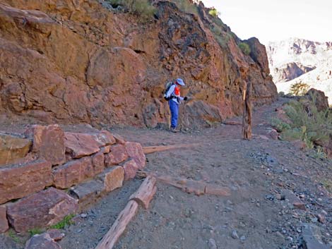 South Kaibab Trail at River Trail (view NW) |
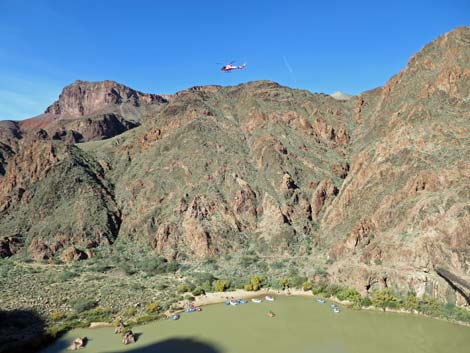 NPS helicopter slinging a load over Boat Beach (view NW) |
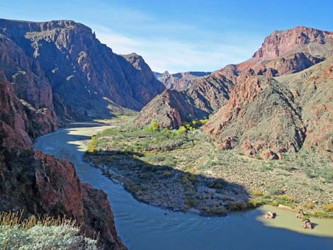 Bright Angel Creek delta (view W) |
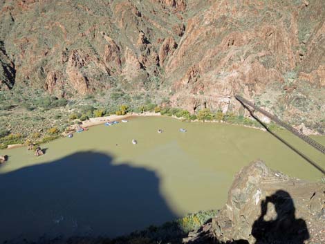 Boat Beach (view NW) |
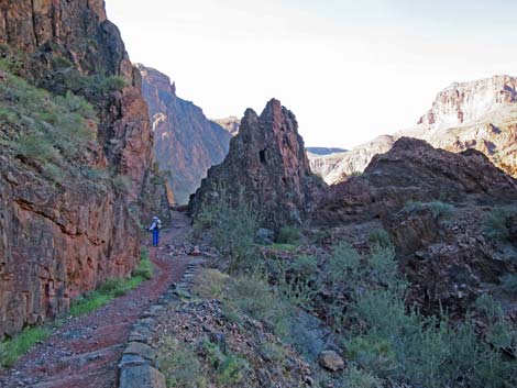
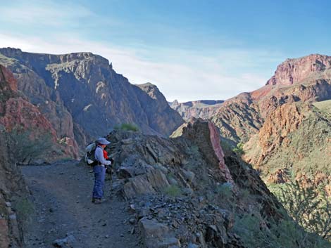 Hiker on River Trail (view W) |
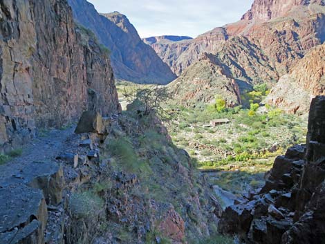
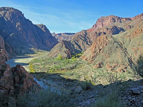 Bright Angel Creek delta (view W) |
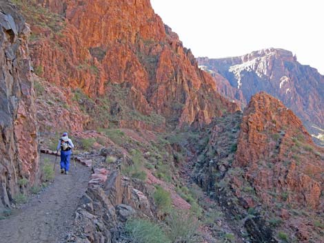 |
 |
 |
 |
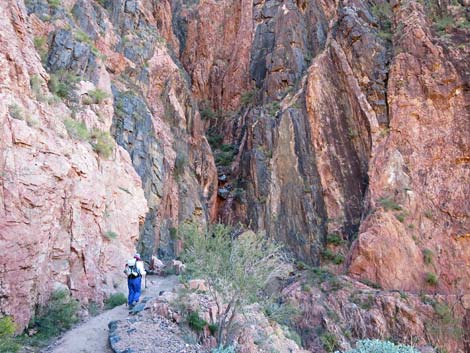 Wild rocks (view SW) |
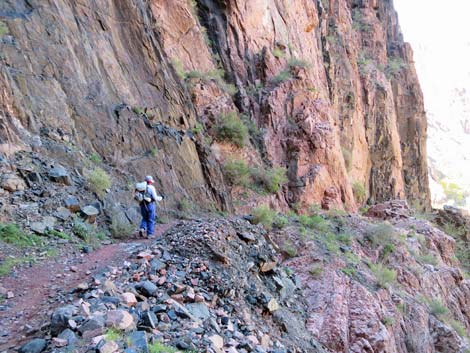 Wild rocks (view SW) |
 |
 |
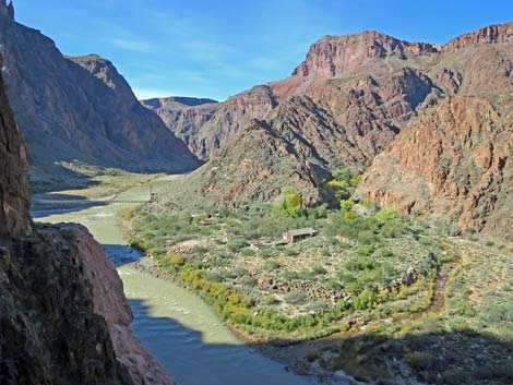
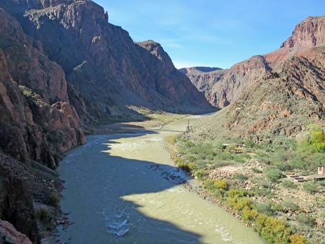 Silver Bridge and Bright Angel Creek delta (view W) |
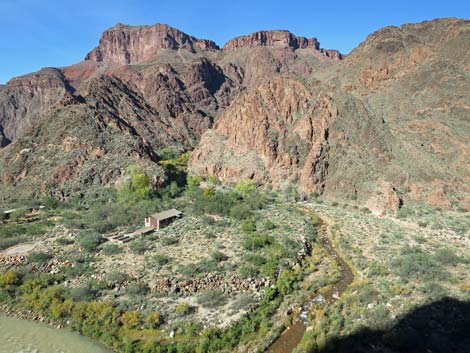 Bright Angel Creek delta with sewage treatment facility (view W) |
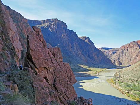 |
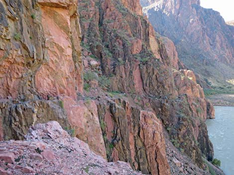 |
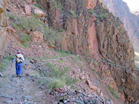 Hiker on River Trail (view W) |
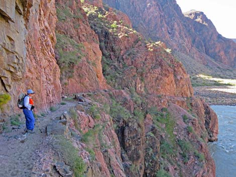 Don't trip! |
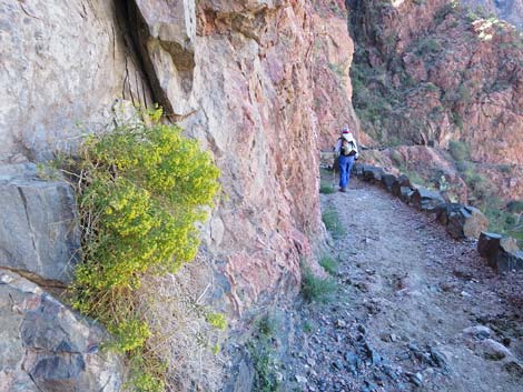 Bush with yellow flowers in the late fall |
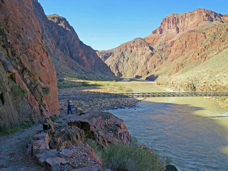 Hiker approaching Silver Bridge (view W) |
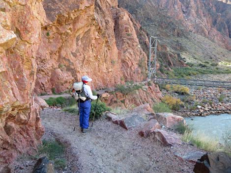 |
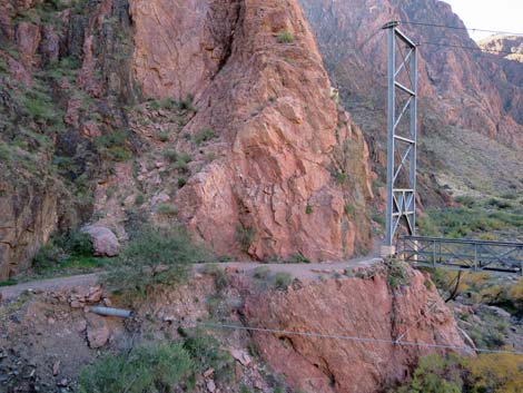 |
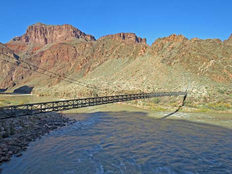 Silver Bridge (view NW) |
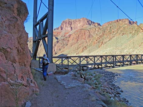 Hiker at Silver Bridge (view W) |
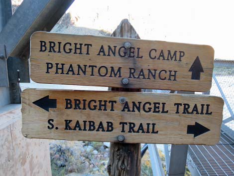 Trail signs at Silver Bridge (view N) |
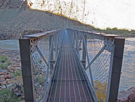 Silver Bridge (view N) |
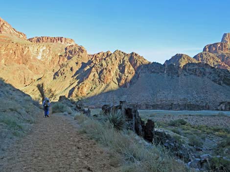 Hiker westbound on River Trail past Silver Bridge (view NW) |
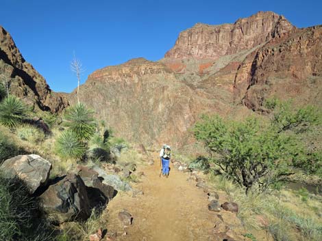 Hiker westbound on River Trail (view NW) |
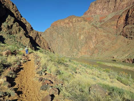 |
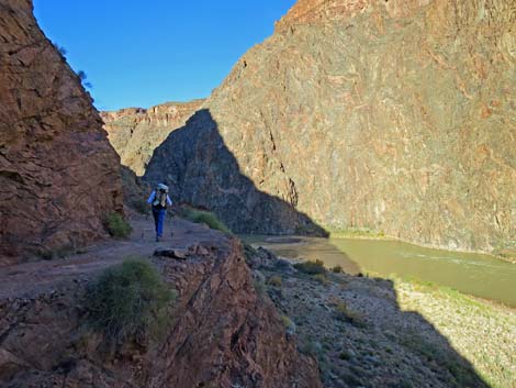 |
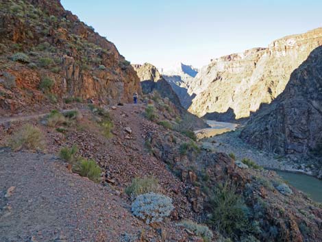 |
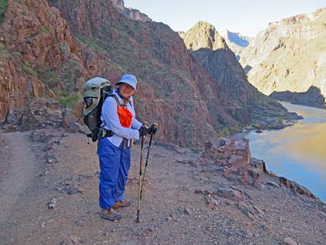 |
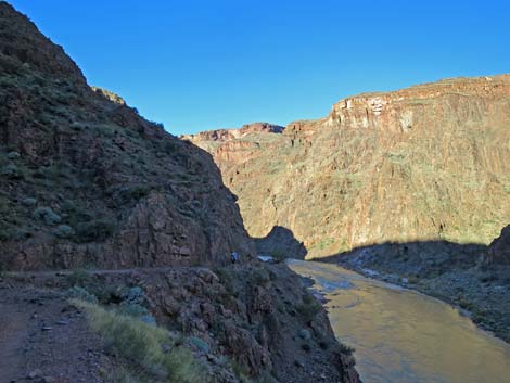 River Trail high above the Colorado River (view W) |
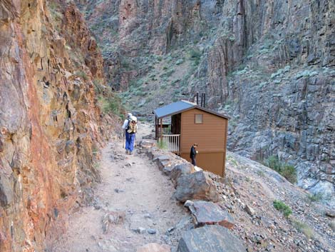 Hiker approaching River Resthouse (view SW) |
Happy Hiking! All distances, elevations, and other facts are approximate.
![]() ; Last updated 240326
; Last updated 240326
| Lower Bright Angel Trail Downhill | Hiking Grand Canyon | Hiking Around Las Vegas | Glossary | Copyright, Conditions, Disclaimer | Home |