
Hiking Around Las Vegas, Gold Butte National Monument

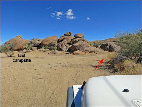 Gold Butte Peak Road; passing last campsite (view E) |
Overview An arrastra is an early type of mill used for grinding ore in which a small boulder is dragged in a circular path to crush ore-bearing rocks to dust (see Wikipedia article). Four arrastras are known in the Gold Butte region. Located in the Gold Butte Townsite area, the Granite Spring Arrastra probably represents the earliest efforts at gold mining in the region. Some sources suggest that Spanish explorers mined this region and built this arrastra during the 1700s. Others suggest that early miners simply used inexpensive technology to mill their ore. Regardless, the Granite Spring Arrastra is an interesting historical artifact and well worth the short walk to see it. Overall, the Gold Butte Townsite area is an interesting place to visit and commune with the mining and ranching history of this wild and rugged region. Link to hiking map. |
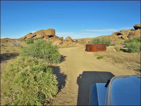 Historic metal water tank along Gold Butte Peak Road (view E) |
Watch Out Other than the standard warnings about hiking in the desert, ... this place is fairly safe, but there are old mines in the area, and holes in the ground are never safe to enter. This is a wild and remote area without services of any kind (no restrooms, no water, no gas, no food). Bring what you need to survive. Be prepared and be self-reliant. Someone will find you eventually if you stay on a main road, but be prepared to survive alone for a day or two. Cell phones only work along parts of the paved road. While hiking, please respect the land and the other people out there, and try to Leave No Trace of your passage. Also, this is a remote area, so be sure to bring the 10 Essentials. Be sure to bring trash bags to clean up after people who care less about wild places than we do, but don't remove "historic" junk and rusty old cans. |
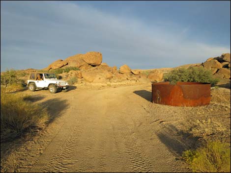 Trailhead parking (view E) |
Getting to the Granite Spring Arrastra The Granite Spring Arrastra is located out in Gold Butte National Monument at the northeast end of Lake Mead, about 3 hours northeast of Las Vegas in a wild, remote, and scenic area. From town, drive out to Gold Butte National Monument. From Whitney Pocket, continue south on the unpaved Gold Butte Road towards Gold Butte Townsite. At about 19.8 miles from the pavement, Gold Butte Road crosses a cattle guard, and then in about 20 yards, Voight Well Road forks to the left. Angle left onto Voight Well Road and drive south 1/4-mile into the historic area and the old corral. Some people might wish to park by the corral. At the old corral, stay left onto Gold Butte Peak Road and continue east another 250 yards (stay left inside the fence) to a loop-about at a campsite. Stay right past the campsite another 50 yards to the trailhead, a wide spot in the road opposite the bottom-half of an old, rusting water tank. Park here; this is the trailhead. |
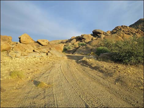 |
The Hike From the trailhead (Table 1, Waypoint 01), the route continues east along Gold Butte Peak Road. In about 30 yards, the road passes between boulders (Wpt. 02) set wide enough apart to let narrow, short-wheel-base vehicle pass through. Continuing east, Gold Butte Peak Road winds a little left and a little right, but it runs generally east. By about 175 yards out, the road is passing the north edge of a large rock pile (the largest in the immediate area). At this point (Wpt. 03), the arrastra is visible against the cliffs to the south. Departing the road, the route crosses a sandy wash and runs up the gentle slope to the arrastra (Wpt. 04). Shrub live oaks have grown over the back 1/3 of the arrastra, but the track, the center-pivot hole, and part of the drag stone are clearly visible. Beyond the arrastra, up under the cliffs, more recent miners left a can dump. Please consider these part of the historic junk that remains in the area. |
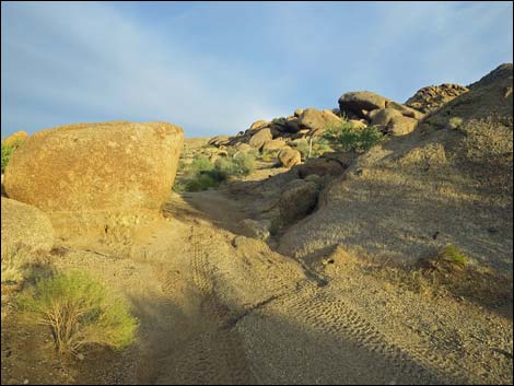 Approaching narrow gap between boulders (view E) |
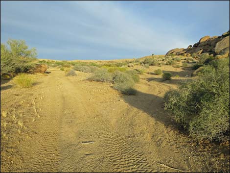 Route follows road past narrow gap between boulders (view E) |
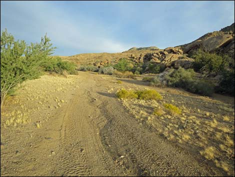 Route follows road past narrow gap between boulders (view E) |
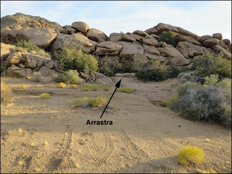 Arrastra (view S from near Gold Butte Peak Road) |
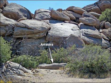 Arrastra (view S) Arrastra (view S) |
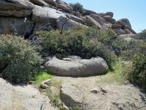 Arrastra (view S) |
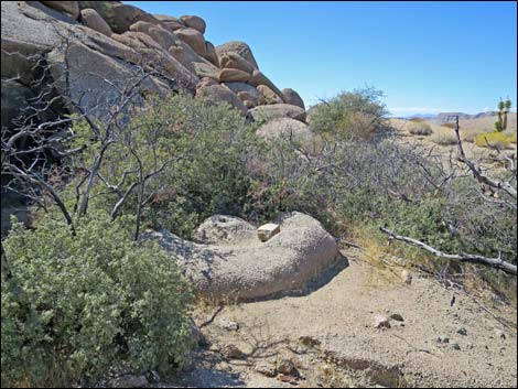 Arrastra (view SW) |
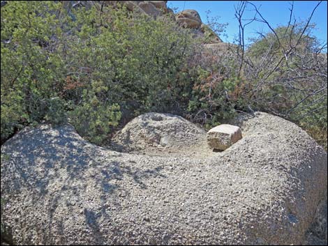 Arrastra (view SW) |
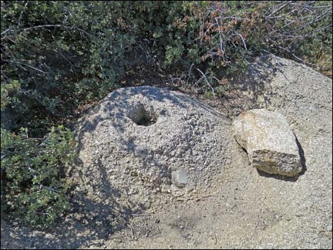 Center pivot hole and drag-stone (view SW) |
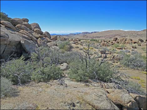 Arrastra (view W into the Voight Well area) |
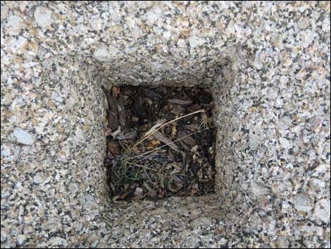 Center pivot-post hole (view down) |
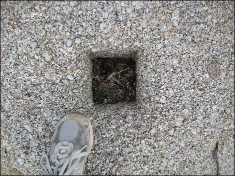 Center pivot-post hole (view down with foot for scale) |
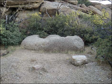 Vandals tried to remove drag-stone |
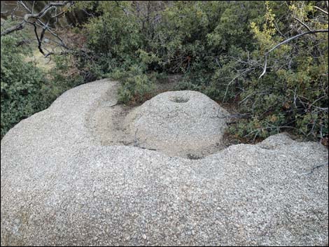 Arrastra |
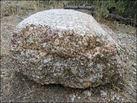 drag-stone (broken end view) |
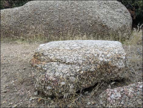 Drag-stone (side view) |
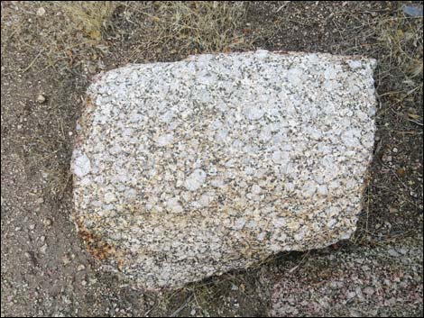 Drag-stone (top view) |
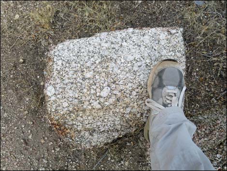 Drag-stone (top view with foot for scale) |
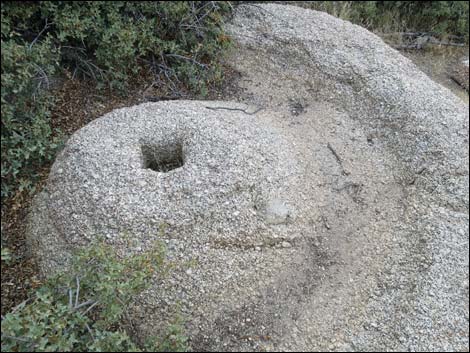 Arrastra without drag-stone (view NW) |
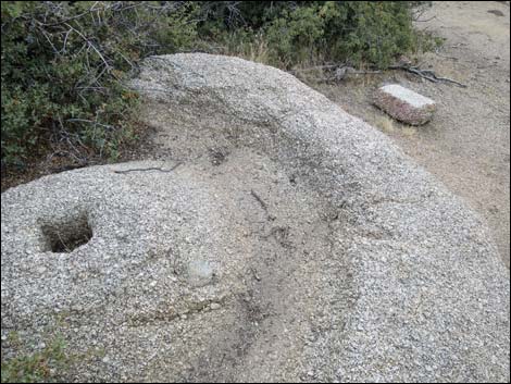 Arrastra and drag-stone (view NW) |
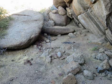 Historical can dump behind the arrastra (view E) |
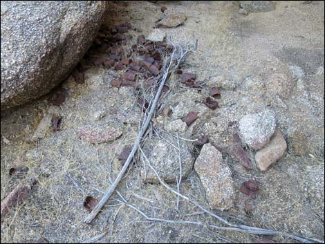 Historical can dump behind the arrastra (view E) |
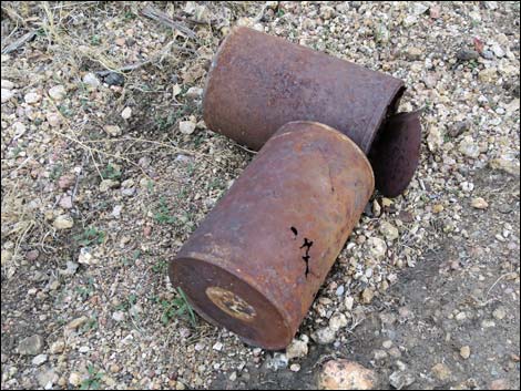 Don't remove cans associated with historical sites! |
 More to come ... |
Table 1. Hiking Coordinates and Distances based on GPS Data (NAD27; UTM Zone 11S). Download Hiking GPS Waypoints (*.gpx) file.
| Wpt. | Location | UTM Easting | UTM Northing | Elevation (ft) | Point-to-Point Distance (mi) | Cumulative Distance (mi) | Verified |
|---|---|---|---|---|---|---|---|
| 01 | Trailhead | 752301 | 4018810 | 3,829 | 0.00 | 0.00 | Yes |
| 02 | Narrow Gap | 752328 | 4018804 | 3,845 | 0.02 | 0.02 | Yes |
| 03 | Depart Road | 752448 | 4018807 | 3,868 | 0.08 | 0.10 | Yes |
| 04 | Arrastra | 752443 | 4018778 | 3,868 | 0.02 | 0.12 | Yes |
| 01 | Trailhead | 752301 | 4018810 | 3,829 | 0.12 | 0.24 | Yes |
Happy Hiking! All distances, elevations, and other facts are approximate.
![]() ; Last updated 240325
; Last updated 240325
| Hiking Around Gold Butte | Hiking Around Las Vegas | Glossary | Copyright, Conditions, Disclaimer | Home |