
Hiking Around Las Vegas, Gold Butte National Monument

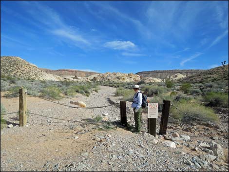 Hiker at Black Butte Dam Trailhead (view E) |
Overview Black Butte Dam was built decades ago by ranchers to hold rainwater that was then piped to watering troughs for use by cattle. Back in the old days when it rained regularly, the system probably worked well, but with the land drying out in the modern age, the dam holds back sand and the occasional pond after a summer thunderstorm. When the pond is full, be sure to look for fairy shrimp and other tiny creatures in the water. The troughs are gone, and the pond usually is dry, but this remains an historic site worth visiting. The trail from the west is only 0.44 miles round trip, so it is more of a stroll than a hike, but it can be combined with a hike to the Twenty-one Goats petroglyph site (add 0.50 miles round trip), or it can be a destination when starting from Falling Man (about 3 miles round trip).Link to hiking map. |
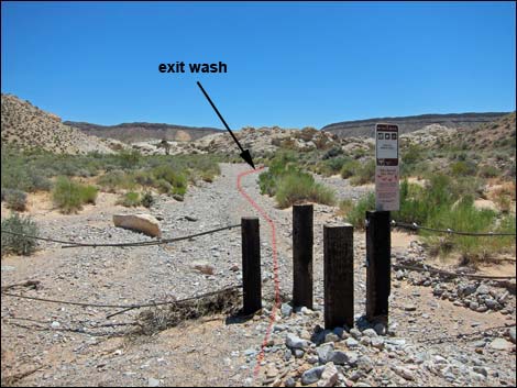 Black Butte Dam; Twenty-one Goats Trailhead (view E) Black Butte Dam; Twenty-one Goats Trailhead (view E) |
Watch Out Other than the standard warnings about hiking in the desert, ... this route is short, easy, and about as safe as they get, but do be careful on the rocks around the dam. Twenty-one Goats Road may require a 4WD vehicle, but usually 2WD-HC is sufficient. Use your own good judgment as road conditions change. This is a wild and remote area without services of any kind (no restrooms, no water, no gas, no food). Bring what you need to survive. Be prepared and be self-reliant. Someone will find you eventually if you stay on a main road, but be prepared to survive alone for a day or two. Cell phones only work along parts of the paved road. While hiking, please respect the land and the other people out there, and try to Leave No Trace of your passage. Also, even though this hike is short, the area is remote, so be sure to bring what you need of the 10 Essentials. Cell phones don't work in this area. |
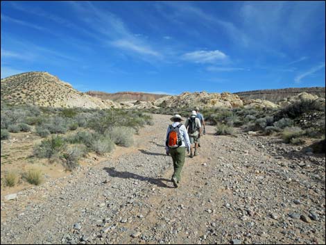 The route runs up the wash about 50 yards (view E) The route runs up the wash about 50 yards (view E) |
Getting to the Trailhead Black Butte Dam is located out in Gold Butte National Monument at the northeast end of Lake Mead, about 2.5 hours northeast of Las Vegas in a wild, remote, and scenic area. From town, drive out to Gold Butte National Monument. From Whitney Pocket, turn around and drive back north for 1.4 miles to Black Butte Road, an unmarked dirt road to the west. Black Butte Road runs southwest, passing Falling Man Trailhead (1.9 miles from the pavement) and continuing southwest. At 3.2 miles out, the road crosses a sandy wash and starts up and over a ridge. Here, Twenty-one Goats Road turns left and runs up the wash. If the gravel looks too treacherous, park here. Otherwise, turn left and drive 0.35 miles up the wash (east) to the parking corral at the end of the road. Park here; this is the trailhead. |
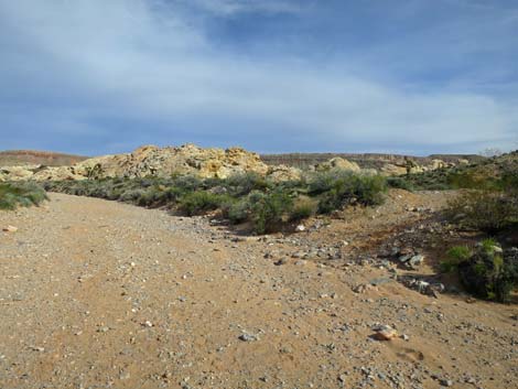 Old road departs the main wash to the right (view SE) |
The Hike From the trailhead (Table 1, Waypoint 01), the route runs up the wash for about 80 yards to an old road that crosses the wash (Wpt. 02). Here, the route turns right onto an old road and runs southeast towards the dam. Note that the wash continues straight (east) to the Twenty-one Goats petroglyph site. Turning right onto the old road, the route runs southeast between low hills on the right and sandstone cliffs on the left. Just before reaching the first sandstone cliffs on the right, a spur trail (Wpt. 03) forks left and runs to the bottom of the dam (Wpt. 04) on the downstream side. After returning to the old road (Wpt. 03), the route continues south between sandstone crags. Shortly, the old road ends at a turn-around loop the base of low sandstone crags (Wpt. 05). The reservoir (or sand flats) lies just over the crags, but before getting there, notice the rock shelter. It was used by prehistoric people, but modern people have used it too and erased most evidence of earlier use. Be sure to look for the bighorn petroglyph. |
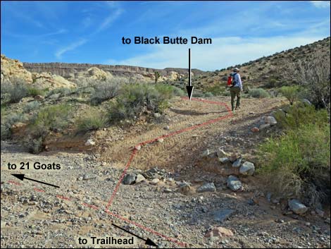 Hiker departing main wash onto old road (view SE) |
In addition to the rock shelter, there is an interesting tunnel through a sandstone crag. Hikers can crawl through the tunnel and climb (brief 3rd-class scramble) to the top of the dam (Wpt. 06). Other routes are available but they not as much fun. The route naturally leads onto the top of a sandstone crag, and from there hikers get a nice view of the reservoir, if wet, and the surrounding area. From the top of the turn-around loop, hikers can exit right between sandstone crags and then bend left to arrive on the muddy shore of the reservoir (or dry sand, depending on conditions). When ready to depart, follow your footprints in the sand back to the trailhead, or consider hiking up the wash to the Twenty-one Goats petroglyph site, which is only 0.25 miles up the wash. See photos of the return. |
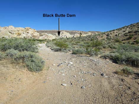 Departing the wash, the old road runs up to the dam (view SE) |
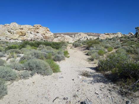 Route follows old road (view SE) |
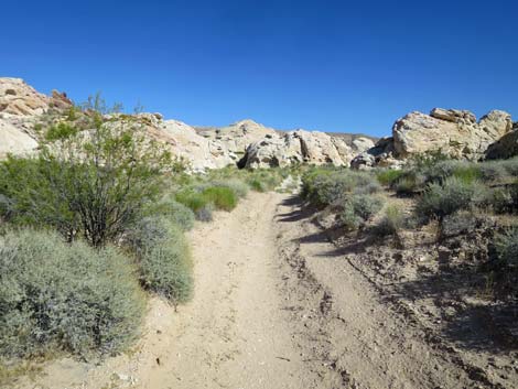 Route follows old road (view SE) |
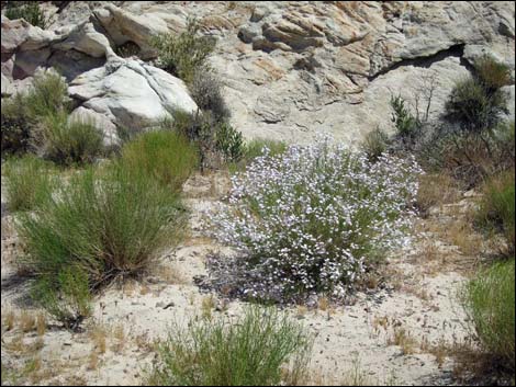 Watch for rare Gilia Beardtongue, in this area |
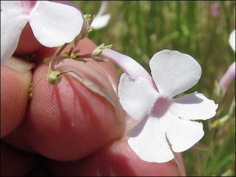 Gilia Beardtongue, flower |
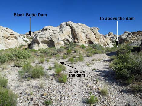 Route to the base of the dam departs old road (view SE) |
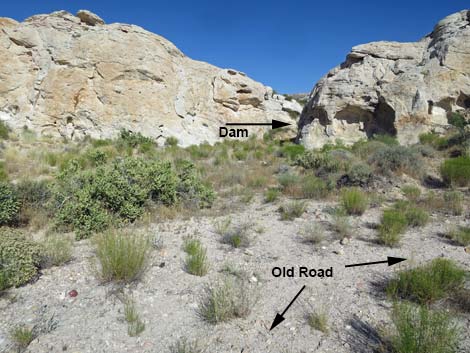 Route to the base of the dam departs old road (view SE) |
 More to come ... |
Below the Dam
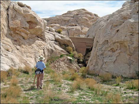 Hiker approaching Black Butte Dam (view SE) |
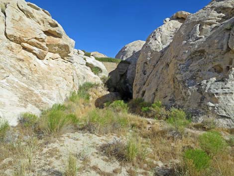 Approaching Black Butte Dam (view SE) |
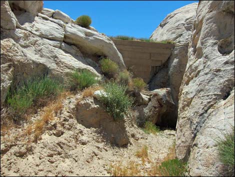 Black Butte Dam (view SE) |
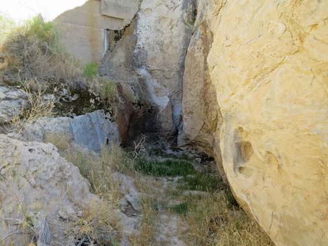 Gully and out-flow stream below Black Butte Dam (view SE) |
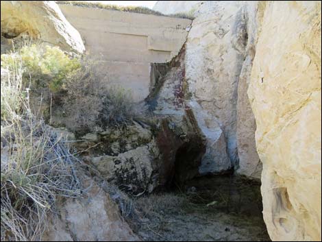 Black Butte Dam with water leaking from above (view SE) |
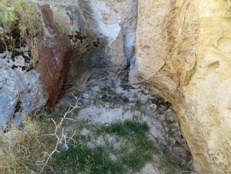 Dry below the dam: the more usual condition |
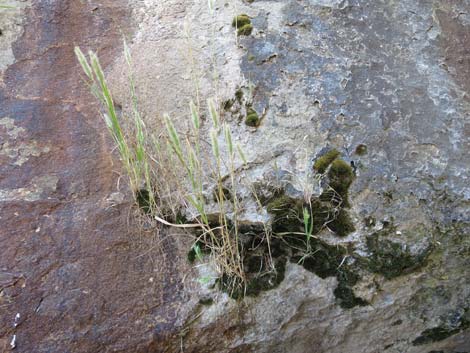 Hanging garden |
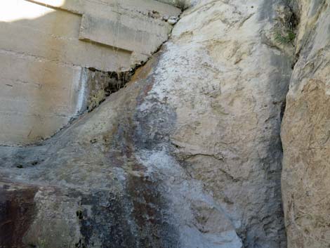 Details of construction on the right edge |
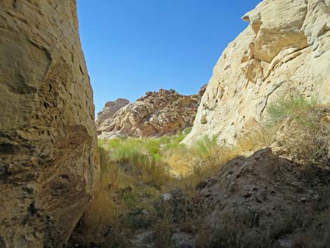 Departing from base of Black Butte Dam (view NW) |
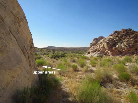 Leaving the short canyon below Black Butte Dam (view NW) |
Top of the Dam
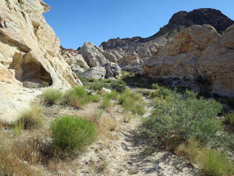 Route returns to the old road (view SW) Route returns to the old road (view SW) |
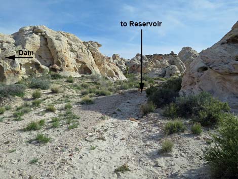 Continuing on old road without visiting base of the dam (view S) |
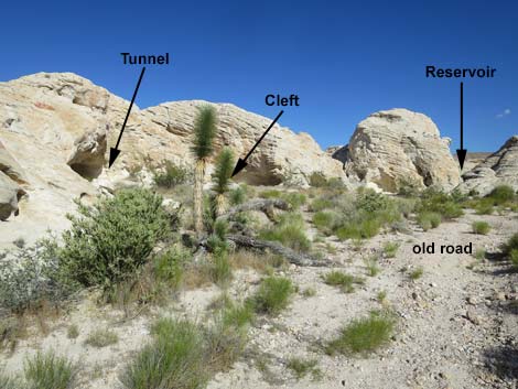 Continuing towards end of old road (view S) |
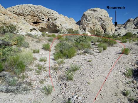 Turn-around loop at end of old road (view S) |
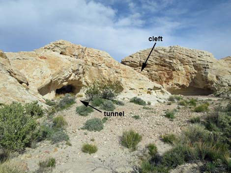 To the dam: choose tunnel or cleft (view S) |
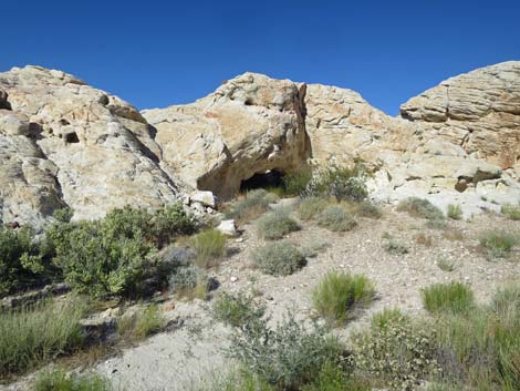 Approaching the tunnel (view SE) |
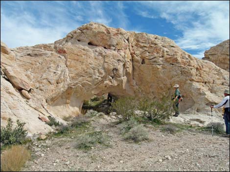 Hikers approaching "tunnel entrance" to the dam (view SE) |
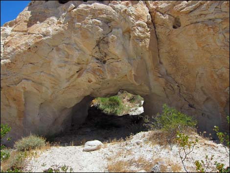 "Tunnel entrance" to the dam (view SE) |
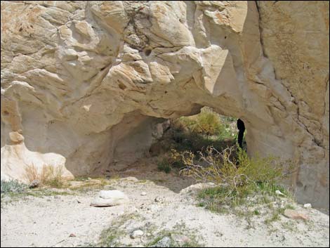 "Tunnel entrance" to the dam (view SE) |
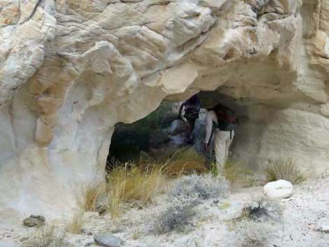 Hikers inside the tunnel (view SE) |
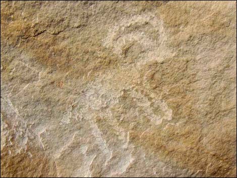 Bighorn sheep petroglyph |
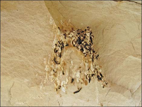 Sheltered perch used by Rock Wrens |
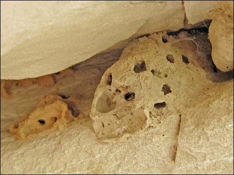 Black-and-Yellow Mud Dauber nest |
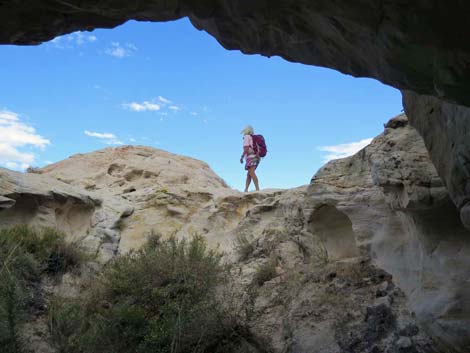 Hiker who just climbed out of the tunnel (view SE) |
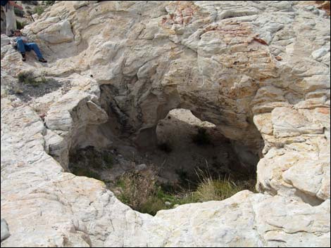 Looking back down into the "Tunnel entrance" (view NW) |
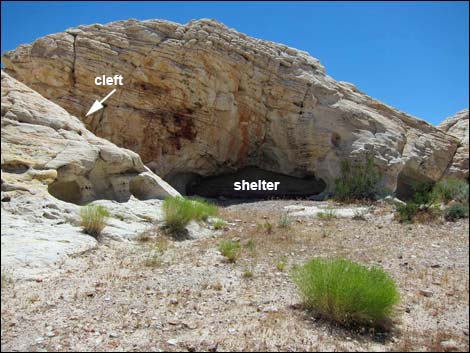 Cleft and rock shelter at the end of the old road (view S) |
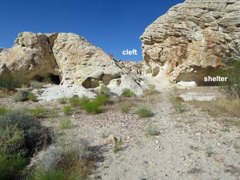 Cleft and rock shelter at the end of the old road (view ES) |
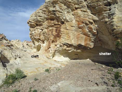 Passing the shelter towards the cleft (view E) |
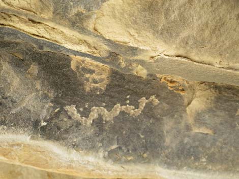 Petroglyph in rock shelter |
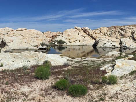
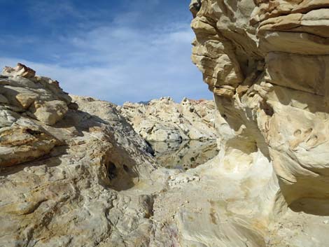 Black Butte Reservoir (view E through the cleft) |
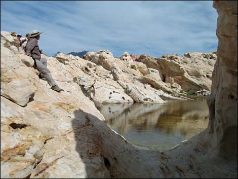 Natural spillway through the cleft at Black Butte Pond (view E) |
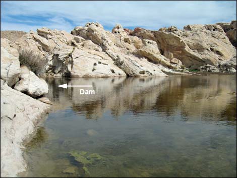 Black Butte Reservoir (view E after passing through the cleft) |
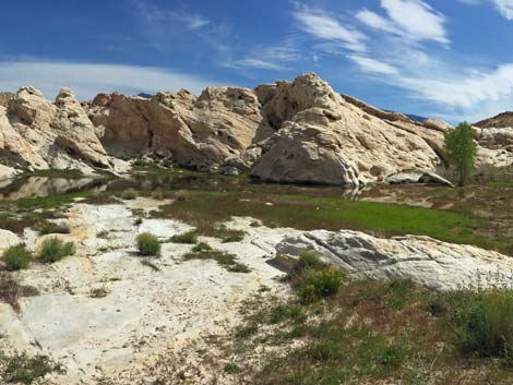
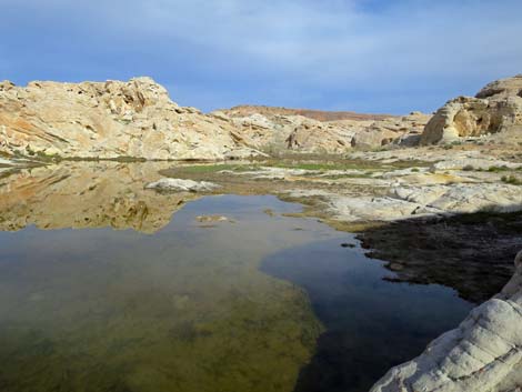 Black Butte Reservoir during wet conditions (view E) |
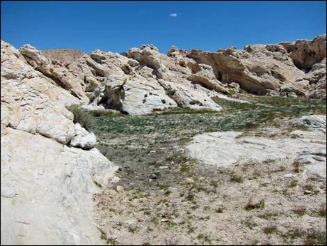 Black Butte Reservoir during normal conditions: dry (view NE) |
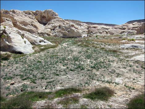 Black Butte Reservoir during normal conditions: dry (view E) |
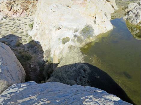 Black Butte Dam during wet conditions: January 2016 |
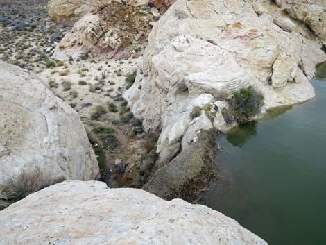 Black Butte Dam during wet conditions: February 2019 |
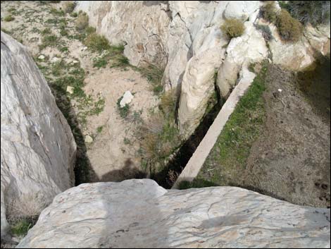 Black Butte Dam during dry conditions: March 2010 |
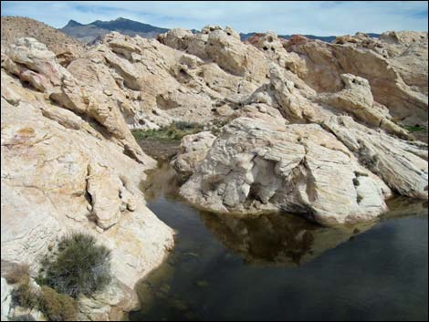 Black Butte Reservoir (view E) |
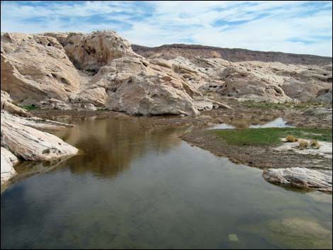 Black Butte Reservoir (view E) |
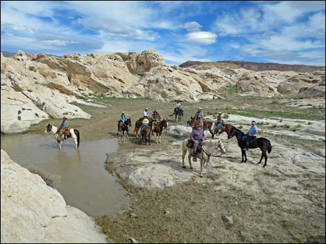 Horsemen at Black Butte Reservoir |
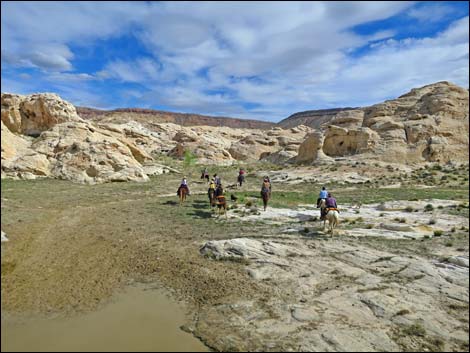 Horsemen departing Black Butte Reservoir |
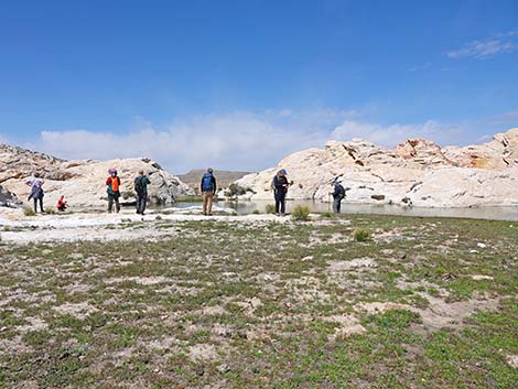 Hikers at Black Butte Reservoir (view N) |
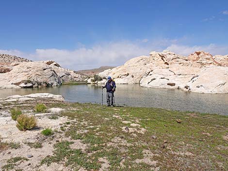 Lone hiker at Black Butte Reservoir (view N) |
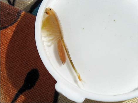 Fairy shrimp |
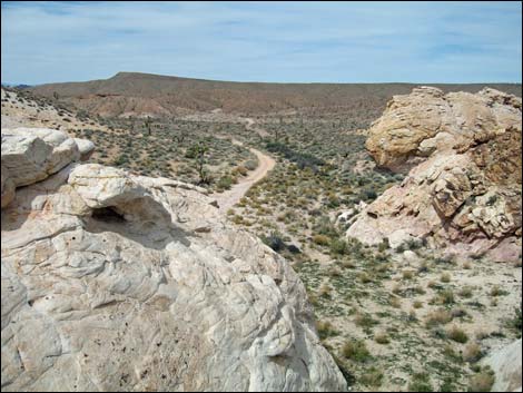 Atop the dam, looking back down the old road (view NW) |
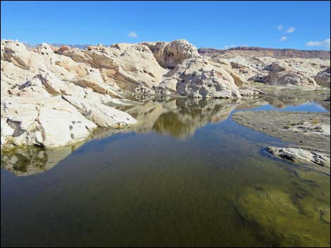 Black Butte Pond during wet conditions: January 2016 |
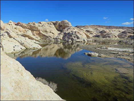 Black Butte Pond during wet conditions: January 2016 |
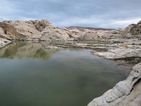 Black Butte Pond during wet conditions: February 2019 |
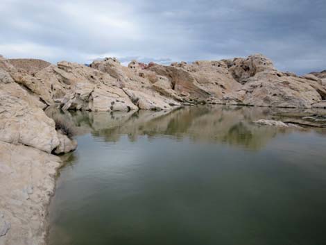 Black Butte Pond during wet conditions: February 2019 |
The Reservoir
 Continuing towards end of old road (view S) |
 Turn-around loop at end of old road (view S) |
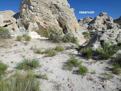 Route to reservoir departs Turn-around loop (view S) |
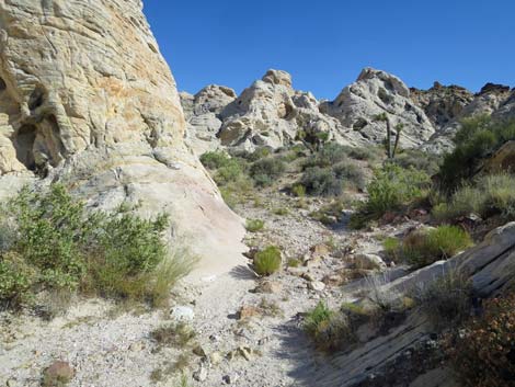 Route to reservoir passes between sandstone crags (view S) |
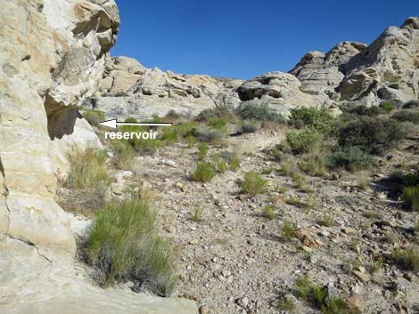 Route to reservoir stays left around sandstone crags (view S) |
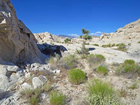 Route to reservoir continues around sandstone crag (view E) |
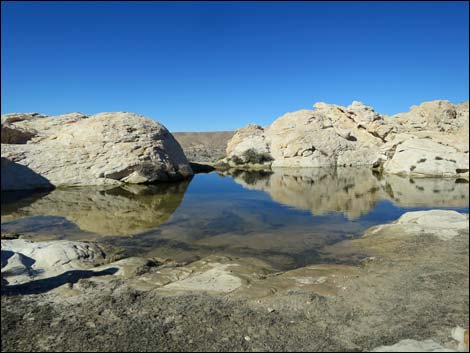 Black Butte Reservoir during wet conditions: January 2016 |
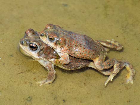 Pair of Red-spotted Toads fixing to make more |
 |
 |
 |
 |
 |
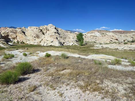 |
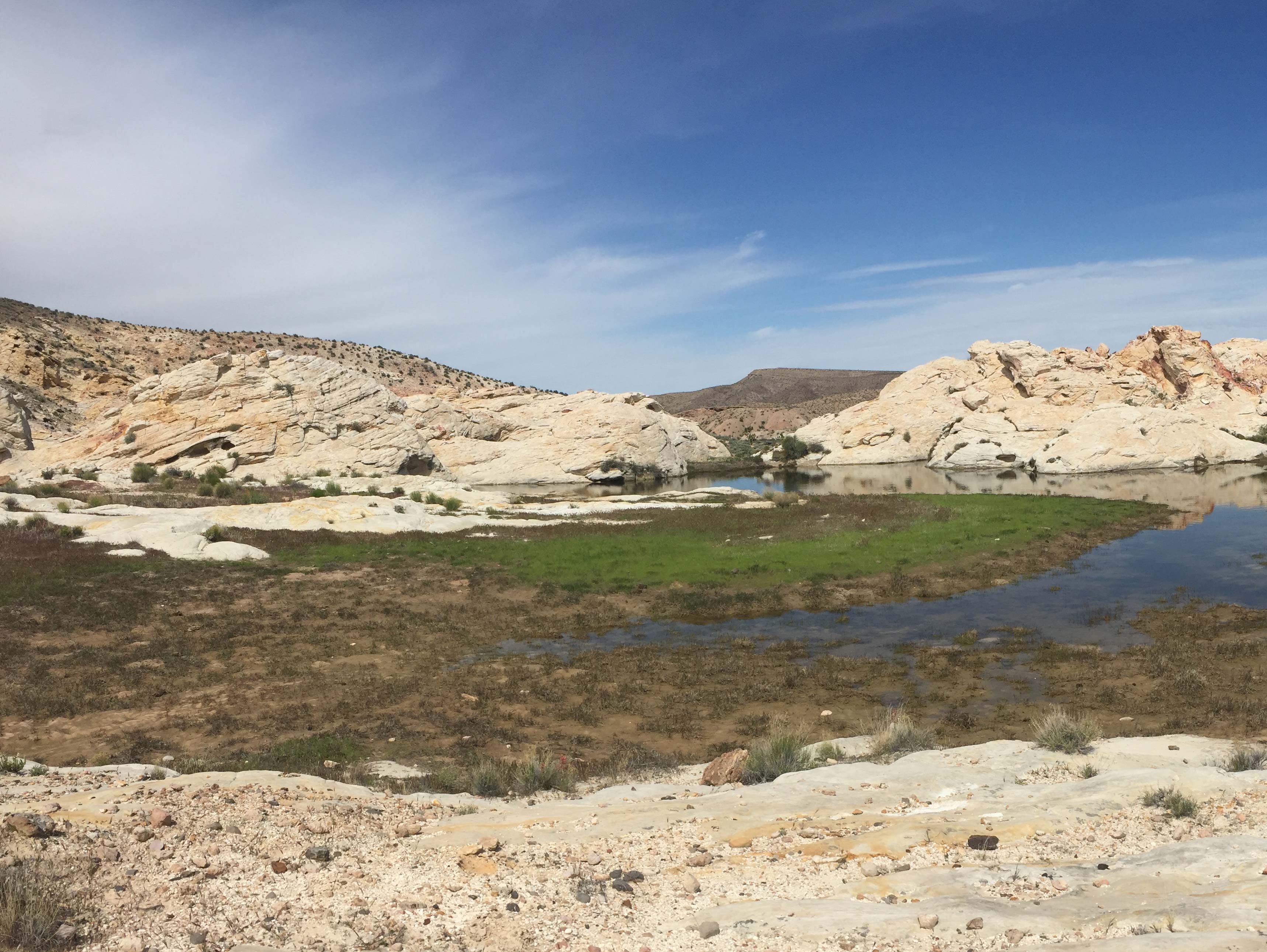
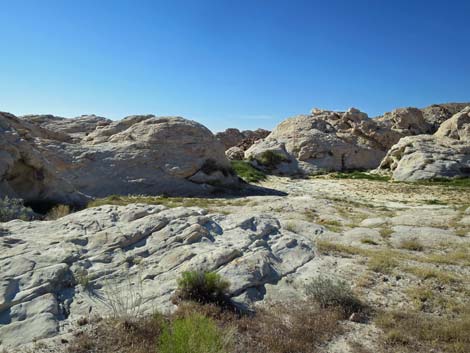
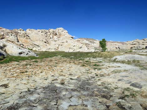 Black Butte Reservoir when recently dried |
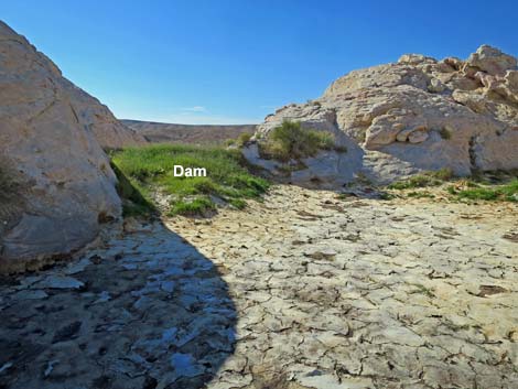 Grass growing on Black Butte Dam when recently dried |
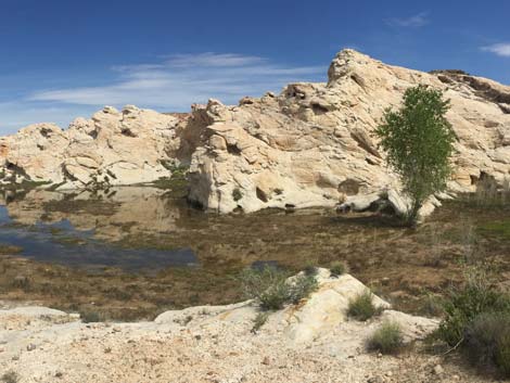
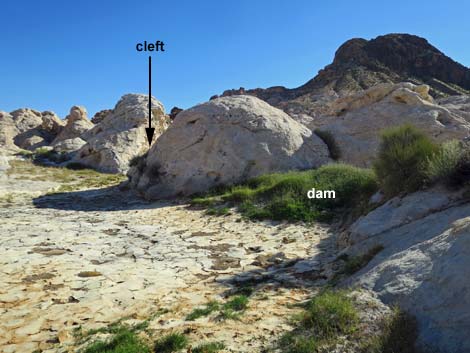 Dam and cleft (view SW from the recently dried reservoir) |
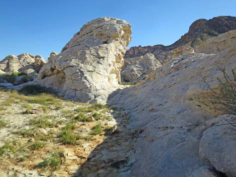 The cleft (view SW from the recently dried reservoir) |
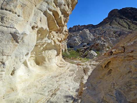 Departing the reservoir through the cleft (view SW) |
 More to come .... |
Table 1. Hiking Coordinates and Distances based on GPS Data (NAD27; UTM Zone 11S). Download Hiking GPS Waypoints (gpx) file.
| Wpt. | Location | UTM Easting | UTM Northing | Elevation (ft) | Point-to-Point Distance (mi) | Cumulative Distance (mi) | Verified |
|---|---|---|---|---|---|---|---|
| 01 | Black Butte Dam Trailhead | 751191 | 4042969 | 2,281 | 0.00 | 0.00 | GPS |
| 02 | Turn out of Wash | 751258 | 4042949 | 2,288 | 0.05 | 0.05 | GPS |
| 03 | Trail Forks to Below Dam | 751355 | 4042850 | 2,290 | 0.10 | 0.14 | GPS |
| 04 | Base of Dam | 751380 | 4042840 | 2,291 | 0.02 | 0.16 | GPS |
| 03 | Trail Forks to Below Dam | 751355 | 4042850 | 2,290 | 0.02 | 0.18 | GPS |
| 05 | Old Road Ends | 751372 | 4042799 | 2,298 | 0.04 | 0.22 | GPS |
| 06 | Black Butte Dam Overlook | 751382 | 4042826 | 2,303 | 0.02 | 0.24 | GPS |
| 01 | Black Butte Dam Trailhead | 751191 | 4042969 | 2,281 | 0.20 | 0.44 | GPS |
Happy Hiking! All distances, elevations, and other facts are approximate.
![]() ; Last updated 240325
; Last updated 240325
| Gold Butte | Rock Art | Hiking Around Las Vegas | Glossary | Copyright, Conditions, Disclaimer | Home |