
Hiking Around Las Vegas, Gold Butte National Monument

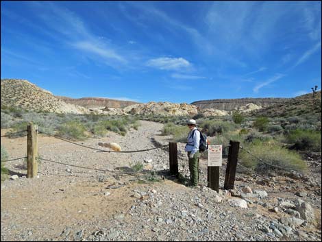 Hiker at Trailhead (view E) |
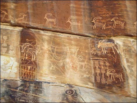
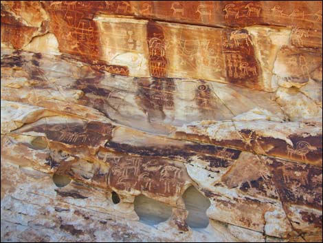
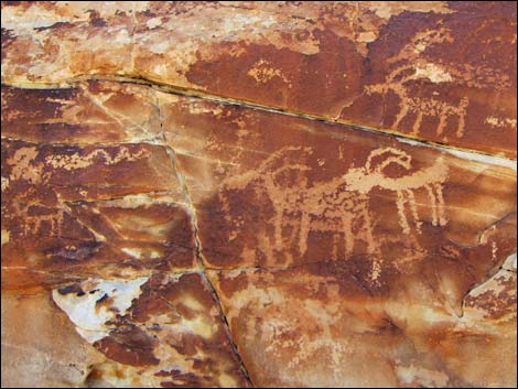
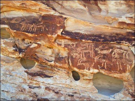
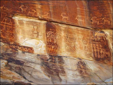
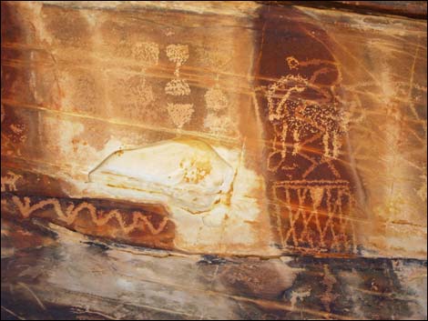
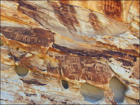
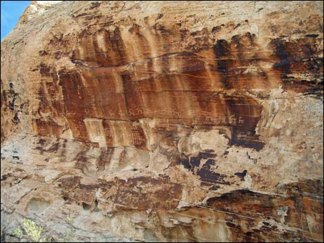
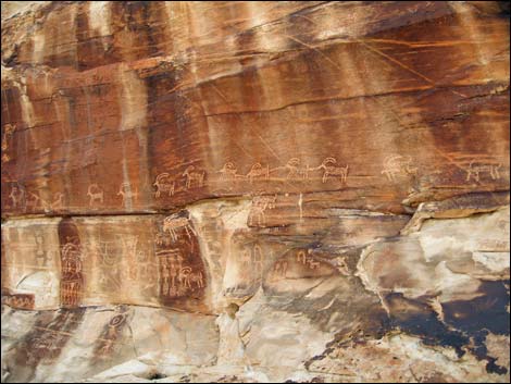
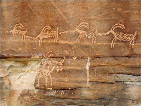
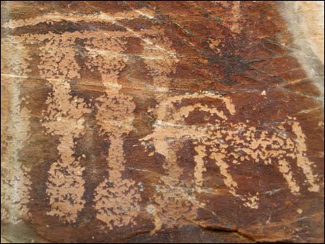
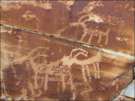
Overview Twenty-one Goats, a spectacular petroglyph panel displaying a long line of bighorn sheep, can be approached from the Falling Man Site or from this short, direct route. This site might more appropriately be called the 18 Bighorn Site, due to the continuous line of 18 bighorn, but by including 3 more bighorn that are not part of the line, the total is 21. However, there are a number of additional bighorn sheep on the wall, so the name is just a name rather than a count; and yes, they are bighorn sheep, not goats. Regardless, the panel is grand and busy, and the longer one looks, the more is seen. This is a nice short hike that can be combined with a visit to the Black Butte Dam historic site. For hikers starting from the Falling Man trailhead, see Black Butte Dam and 21 Goats Route. Link to hiking map. |
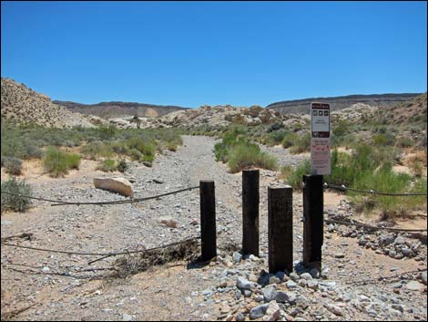 Trailhead gate (view E) Trailhead gate (view E) |
Watch Out Other than the standard warnings about hiking in the desert, ... this route is short, easy, and about as safe as they get. Twenty-one Goats Road may require a 4WD vehicle, but usually 2WD-HC is sufficient. Use your own good judgment as road conditions change. This is wild and remote country without services of any kind (no restrooms, no water, no gas, no food). Bring what you need to survive. Be prepared and be self-reliant. It is a big place, but someone will eventually find you if you stay on a main road, but be prepared to survive alone for a day or two, or even longer on side roads. While hiking, please respect the land and the other people out there, and try to Leave No Trace of your passage. Also, even though this hike is short, the area is remote, so be sure to bring what you need of the 10 Essentials. Cell phones don't work. |
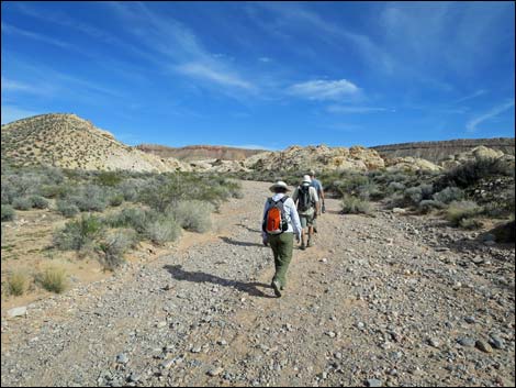 The route runs up the wash (view E) |
Getting to the Trailhead Black Butte Dam is located out in Gold Butte National Monument at the northeast end of Lake Mead, about 2.5 hours northeast of Las Vegas in a wild, remote, and scenic area. From town, drive out to Gold Butte National Monument. From Whitney Pocket, turn around and drive back north for 1.4 miles to Black Butte Road, an unmarked dirt road to the west. Black Butte Road runs southwest, passing Falling Man Trailhead (1.9 miles from the pavement), and continuing southwest. At 3.2 miles out, the road crosses a wash. Here, Twenty-one Goats Road turns left and runs 0.35 miles up the wash to the trailhead. Park here; this is the trailhead. |
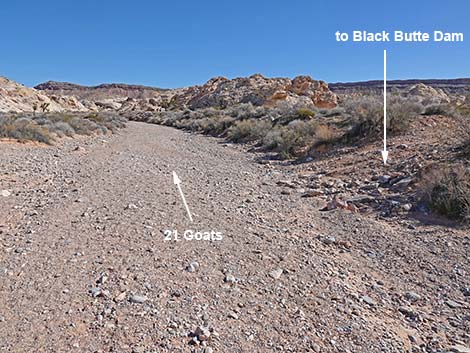 An old road crosses the wash (view SE) |
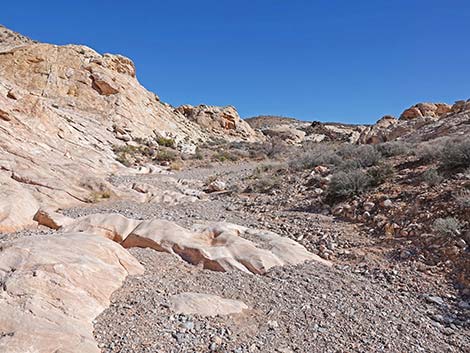
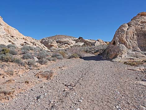
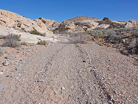
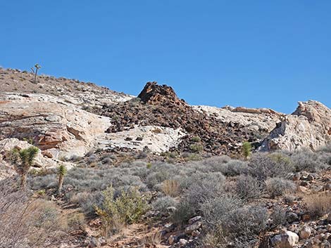
The Hike From the trailhead (Table 1, Waypoint 01), the route runs up the main wash. About 100 yards out, well before reaching the first sandstone cliffs on the right, an old road crosses the wash (Wpt. 02). Here, the old road leads right (southeast) to Black Butte Dam, while the wash continues straight (east) towards the 21 Goats petroglyph site. The route runs up the wash, first with sandstone crags on the right and hills on the left, then crags on the left and a hillside on the right. The canyon eventually narrows (about 0.25 miles out) as sandstone crags press in on both sides. Watch for rock art in this area. The wash runs northeast, and the 21 Goats Wall can be seen ahead. Beyond the narrow spot, the wash jogs left a bit, then right a bit, still running northeast. Shortly, the wash bends hard to the right and runs southeast into the distance (about 100 yards). At this point, the route leaves the wash and continues northeast to the west-facing 21 Goats Wall (Wpt. 03; 0.35 miles out), which can be seen ahead. Return over the same route, or consider hiking to the Falling Man Site. |
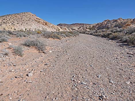 The route continues up the main wash (view E) |
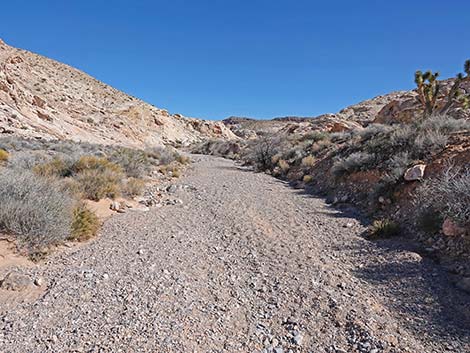 The route continues up the main wash (view E) |
 |
 |
 |
 |
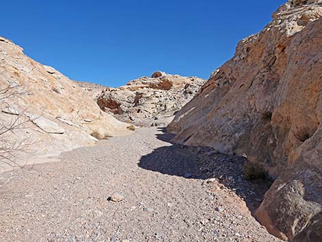 Entering the narrows (view NE) |
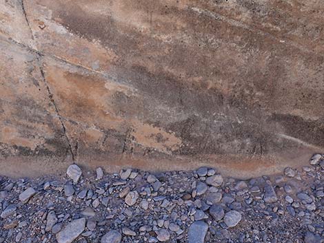 Faint petroglyphs low on the shady side |
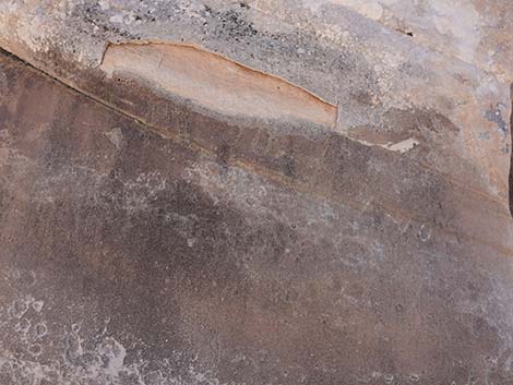 Faint pioneer graffiti low on the shady side |
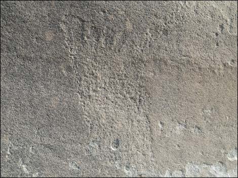 Petroglyph: foot print |
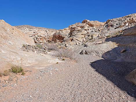 Passing out of the narrows (view NE) |
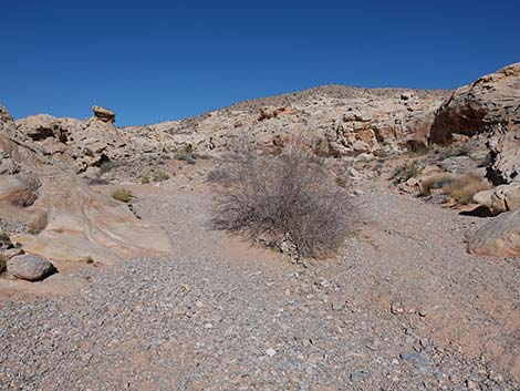 The main wash bends hard to the left (view NE) |
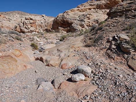 Hikers can shortcut the loop in the wash (view NE) |
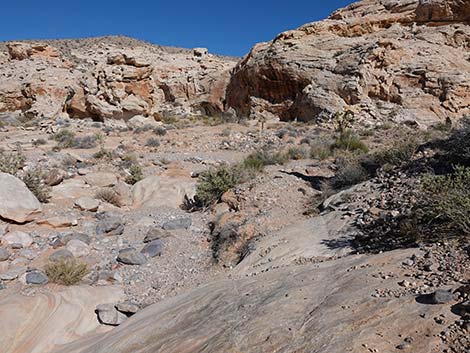 Approaching the main wash again (view NE) |
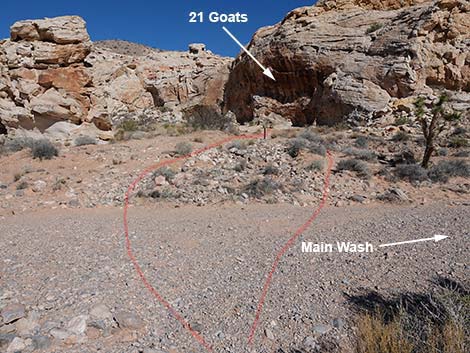 Route crosses straight across the wash this time (view NE) |
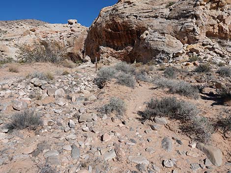 Across the wash, route heads up the bank (view NE) |
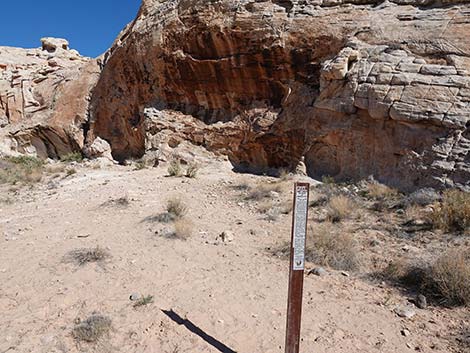 Carsonite sign with information about protecting petroglyphs |
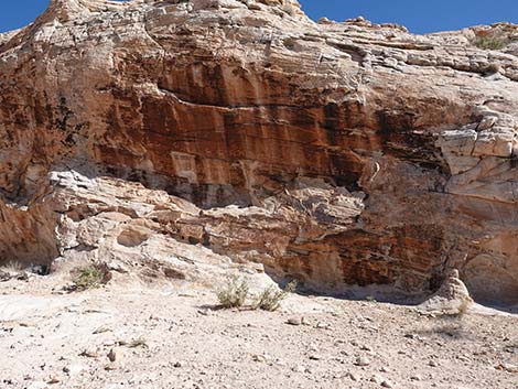 Arriving at 21 Goats panel (view NE) |
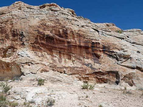 Twenty-one Goats petroglyph site (view E with afternoon sun) |
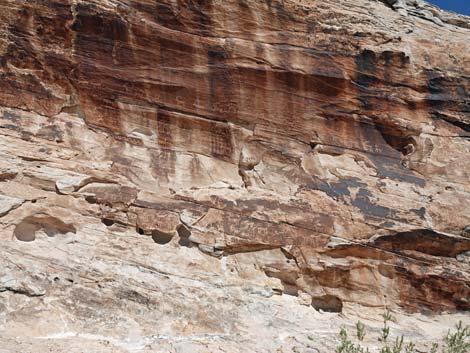 Twenty-one Goats petroglyph site (view E with afternoon sun) |
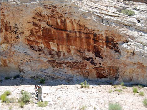 Twenty-one Goats petroglyph site (view E with morning shade) |
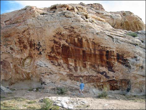 Twenty-one Goats petroglyph site (view E with morning shade) |
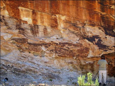 |
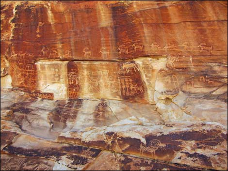 |
 |
 |
 |
 |
 |
 |
 |
 |
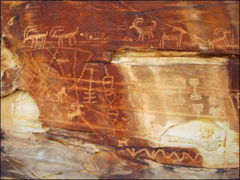 |
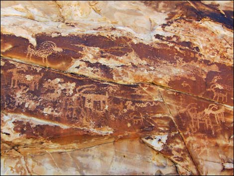 |
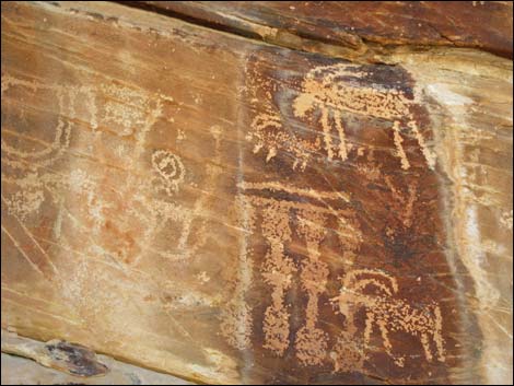 |
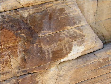 |
 |
 |
 |
 |
 |
 |
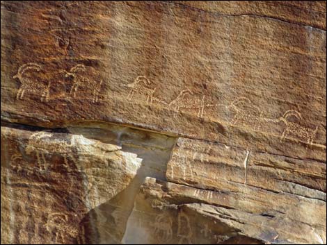 A string of bighorn sheep |
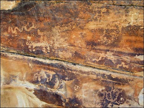
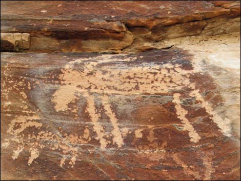
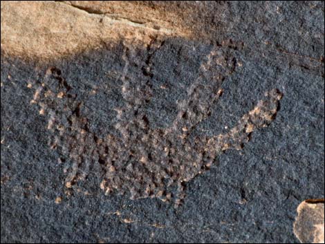 Almost covered over by desert varnish: this is a very old petroglyph |
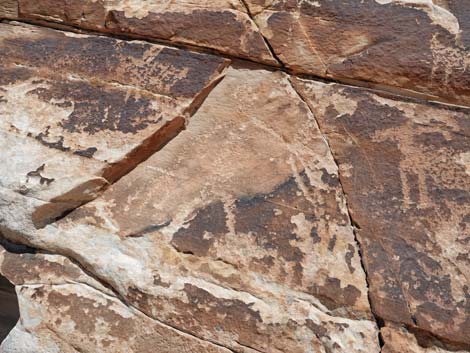 Curious mix of rock stories |
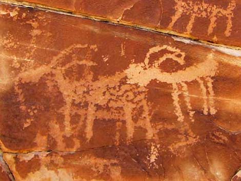 Old and very-old rock stories |
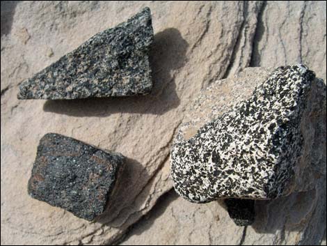 In the area, odd stones that don't seem to belong here |
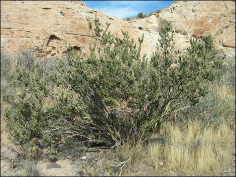 Nice examples of sandpaper plant (Utah Mortonia) in the area |
Table 1. Hiking Coordinates and Distances based on GPS Data (NAD27; UTM Zone 11S). Download Hiking GPS Waypoints (gpx) file.
| Wpt. | Location | UTM Easting | UTM Northing | Elevation (ft) | Point-to-Point Distance (mi) | Cumulative Distance (mi) | Verified |
|---|---|---|---|---|---|---|---|
| 01 | Black Butte Dam Trailhead | 751191 | 4042969 | 2,281 | 0.00 | 0.00 | GPS |
| 02 | Turn out of Wash | 751260 | 4042952 | 2,288 | 0.05 | 0.05 | GPS |
| 03 | 21 Goats Petroglyph Panel | 751664 | 4043065 | 2,329 | 0.30 | 0.35 | GPS |
| 01 | Black Butte Dam Trailhead | 751191 | 4042969 | 2,281 | 0.35 | 0.70 | GPS |
Happy Hiking! All distances, elevations, and other facts are approximate.
![]() ; Last updated 240326
; Last updated 240326
| Gold Butte | Rock Art | Hiking Around Las Vegas | Glossary | Copyright, Conditions, Disclaimer | Home |