
Hiking Around Las Vegas, Gold Butte National Monument

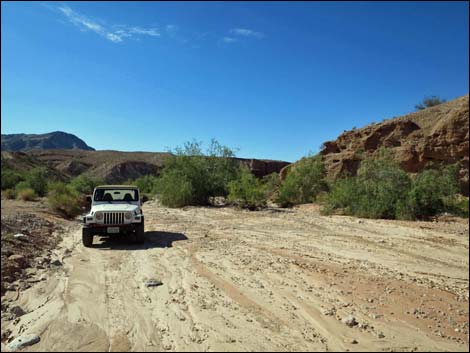 Trailhead parking in Mud Wash (view W) |
Overview Red Bluff Spring is a spring and riparian area with water actually flowing out in the middle of the desert. The BLM has tried to keep vehicles, cows, and feral burros out of the riparian area, but thoughtless people keep cutting the fence. Drivers crush the vegetation, and livestock eat the rest, so the area isn't a nice as it could be for the plants and animals that survive there. Tadpoles have a hard time with people drive through their breeding pools too. The hike runs from one end of the exclusion area to the other, about 2/3rds of a mile, and as such can be walked from either end. As described here, the route runs downstream through the riparian area. Keep an eye out for small animals come in for water and for recovering vegetation. This hike can be combined with a hike through the Mud Wash Narrows farther down the wash. Link to hiking map. |
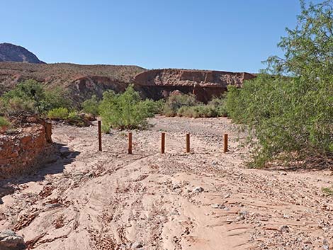 Upper fence, looking into the exclusion area (view W) |
Watch Out Other than the standard warnings about hiking in the desert, ... this is a fairly safe area, but be careful on smooth rocks with wet, sandy shoes. This spring used to be called Bitter Spring and was considered to be a good laxative, so be prepared if you drink the water. This is wild and remote country without services of any kind (no restrooms, no water, no gas, no food). Bring what you need to survive. Be prepared and be self-reliant. It is a big place, but someone will eventually find you if you stay on a main road, but be prepared to survive alone for a day or two, or even longer on side roads. While hiking, please respect the land and the other people out there, and try to Leave No Trace of your passage. Also, even though this hike is short, the area is remote, so be sure to bring what you need of the 10 Essentials. Cell phones don't work here. |
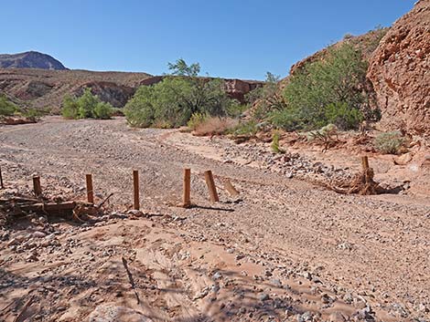 Flashfloods and OHV drivers damage the fence (view W) |
Getting to the Trailhead Red Bluff Spring is located out in Gold Butte National Monument at the northeast end of Lake Mead, about 3 hours northeast of Las Vegas in a wild, remote, and scenic area. From town, drive out to Gold Butte National Monument. From Whitney Pocket, continue south on the unpaved Gold Butte Road for 3.9 miles to Mud Wash North Road. Turn right onto Mud Wash North Road and drive southwest and downstream for 3.2 miles to Mud Wash Road. Stay right onto Mud Wash Road, continuing downstream for another 5.1 miles to the end of Mud Wash Road. The end is recognized by a signed intersection with Red Bluff Spring Road, which turns left and climbs out of Mud Wash. Park in the wash at the end of the road, which is only a few yards upstream from the barbed-wire fence. |
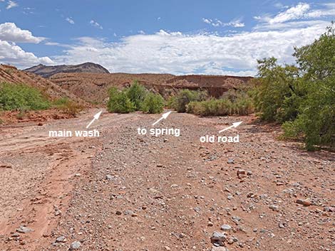 Stay right off to the spring and old road (view W) |
The Hike From the trailhead (Table 1, Waypoint 01), the route follows the wash downstream under the fence. Although vandals have cut the fence so they can drive in, good-hearted citizens walk to avoid damaging the vegetation. If the vegetation comes back, animals will come back too. A minute or two past the fence, the wash forks. Illegally driven vehicles stay left in the more open area, but hikers should stay to the right on the way downstream (the left is good for the return). There is also an old bypass road farther right, but hikers should stay in the bottom of the wash. Doing so, hikers soon arrive at flowing water and a Saltgrass meadow. For Gold Butte, the vegetation here is unusual because of the water. Tree species in this area include Catclaw Acacia, Honey Mesquite, Saltcedar (land managers have been working to eradicate this invasive species), and true willow (Gooding's Willow or Coyote Willow). Common shrubs in the wash include lots of Arrowweed and Mojave Rabbitbrush, and there are a few Fremont's Desert-thorn. |
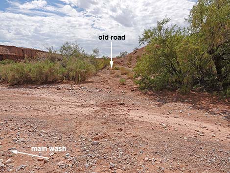 Old road (view W from the main wash) |
In the meadow areas, the turf grass is Saltgrass, and the upright grass-like species is a rush. Forb-like species include Yerba Mansa and even Iodinebush. Following the water downstream, low cliffs rise on both sides as the stream flows through a small narrows, and then the stream opens into the main wash were vehicles have been driven. The effect of the vehicles on riparian vegetation is clearly evident as there is no vegetation where the stream flows over rocky sills and form little waterfalls. Continuing downstream, hikers eventually arrive at a post-and-cable fence (Wpt. 02) that marks the downstream end of the vehicle and livestock exclusion zone. In the wet season, water continues down the canyon. Red Bluff Spring is a good place to wander about, sit and think, eat a little lunch, contemplate the forces of nature that created such a place, and think about how it will look when the vegetation finally grows back and the birds come back to sing. |
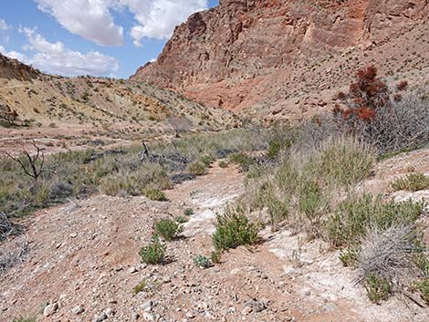 Historic road runs above the wash (view W) |
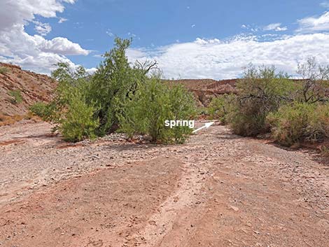 Continuing past the old road towards the spring (view S) |
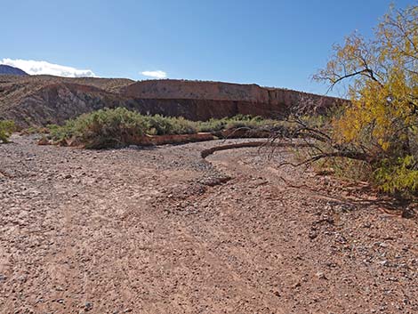 The wash forks right to the spring (view SW) |
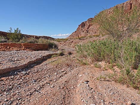 Recent flash floods opened up the stream channel (view W) |
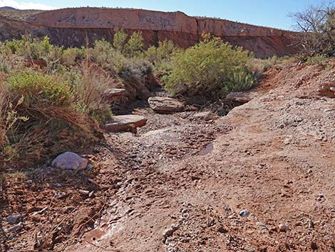 Approaching low pour-over that forces water to the surface (view W) |
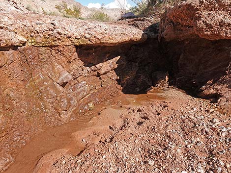 Looking back at the low pour-over with dripping water (view E) |
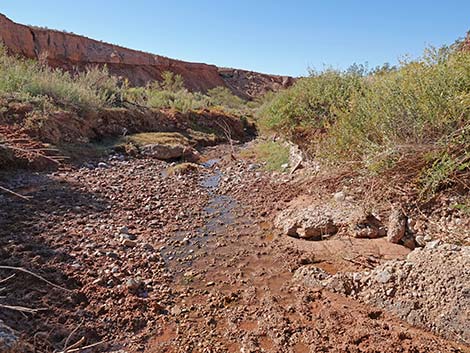 Muddy streambed churned up by trespass cattle (view W) |
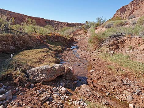 Trickle of water in the streambed (view W) |
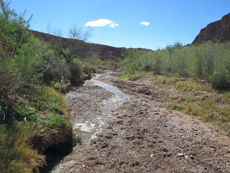 Water flowing in the desert (view W) |
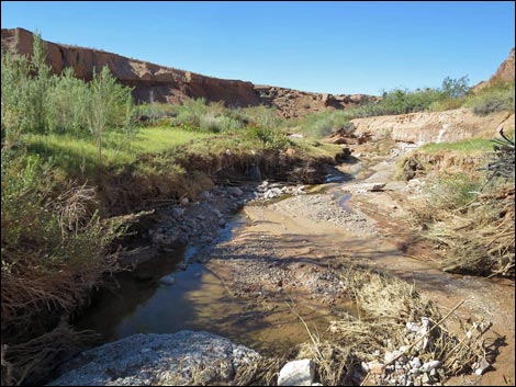 Outflow stream along Red Bluff Spring meadow area (view W) |
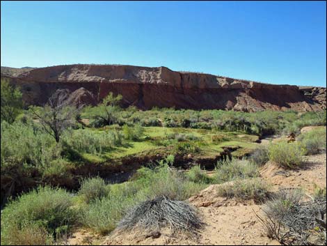 Red Bluff Spring meadow area (view SW) |
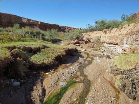 Outflow stream along Red Bluff Spring meadow area (view W) |
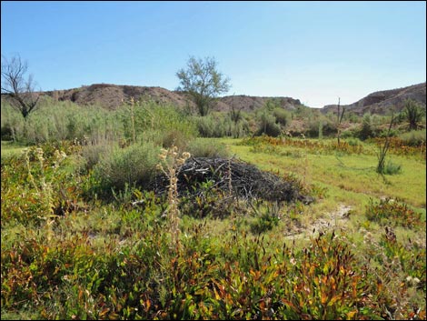 Red Bluff Spring meadow area (view SE) |
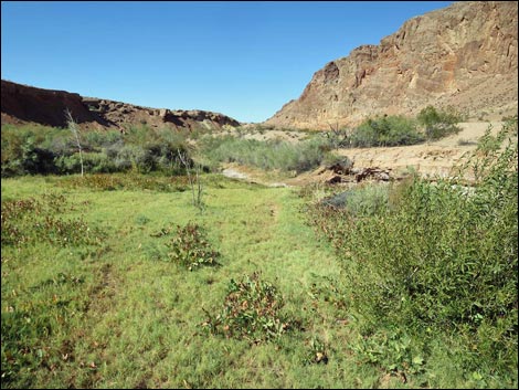 Red Bluff Spring meadow area (view W) |
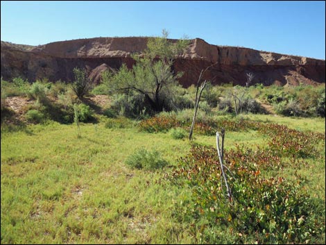 Yerba Mansa and Saltgrass in the meadow area (view SW) |
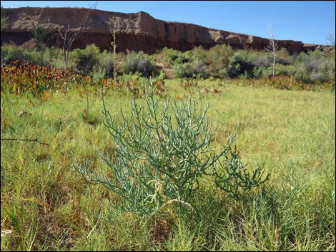 Iodinebush and Saltgrass in the meadow area (view SW) |
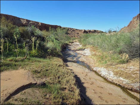 Outflow stream departing Red Bluff Spring meadow area (view W) |
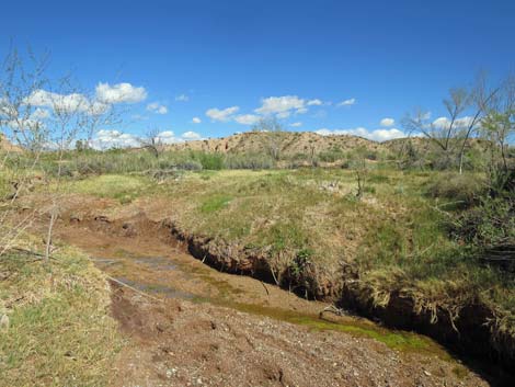 Outflow stream (looking back up; view E) |
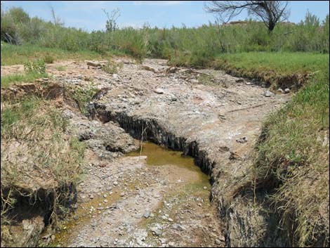 Outflow stream (looking back up; view E) |
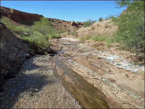 Outflow stream (view W) Outflow stream (view W) |
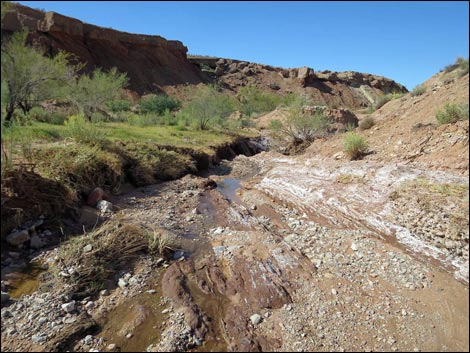 Outflow stream (view W) |
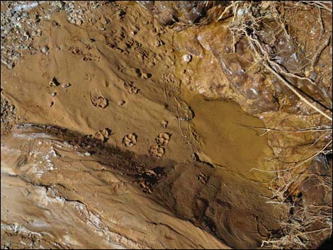 Bobcat tracks in the mud at a water puddle |
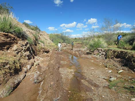 Red Rock Audubon birders at Red Bluff Spring (view E) |
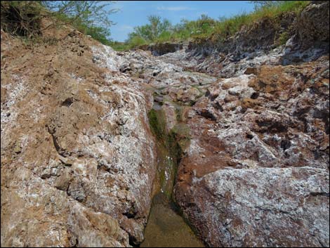 Outflow stream (looking back up; view W) |
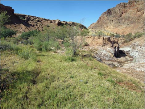 Another grassy meadow area (view W) |
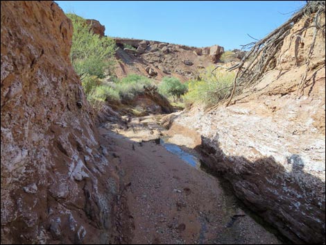 Outflow stream run through a short narrows (view W) |
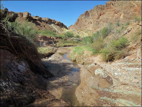 Outflow stream approaching main canyon (view W) Outflow stream approaching main canyon (view W) |
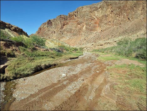 Main canyon with illegal vehicle tracks (view NW) |
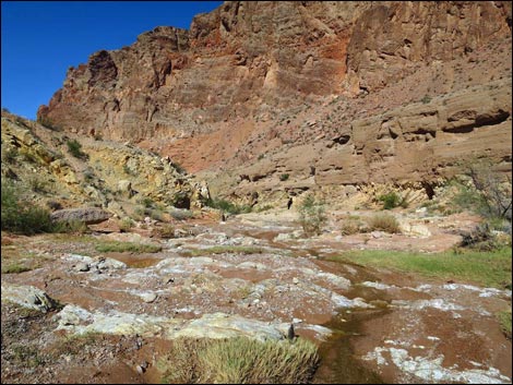 The stream runs over red-rock sills (view NW) ... |
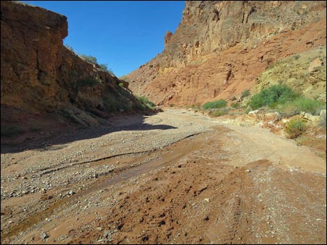 ... then disappears into the sandy wash (view NW) |
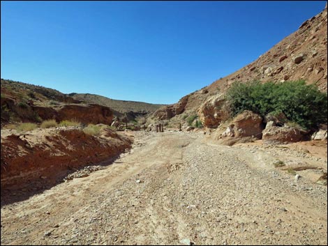 Mud Wash; lower fence is in sight (view W) |
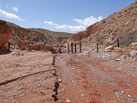 Mud Wash approaching the lower fence (view W) |
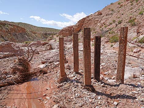 Mud Wash at the lower fence (view W) |
 More to come ... |
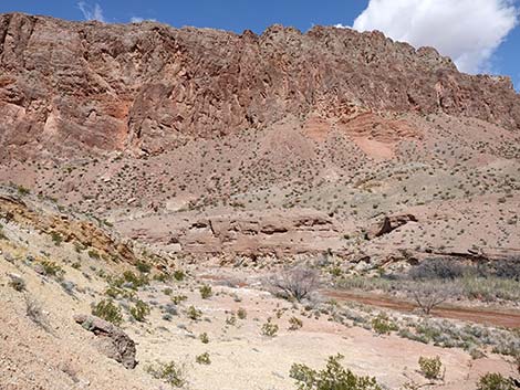
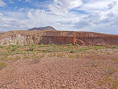 Interesting geology on the south side of the canyon (view S) |
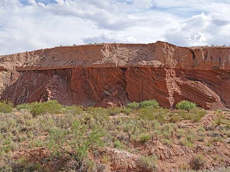 Interesting geology on the south side of the canyon (view S) |
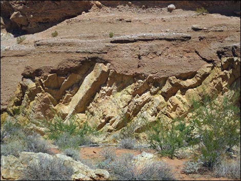 Interesting geology on the north side of the canyon (view N) |
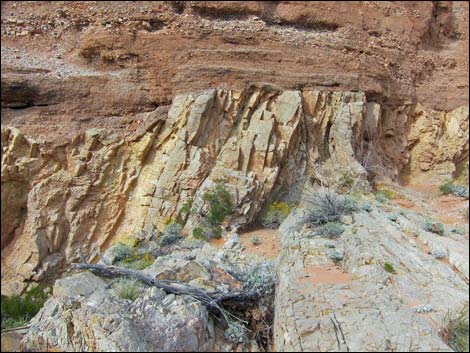 More interesting geology on the north side of the canyon (view N) |
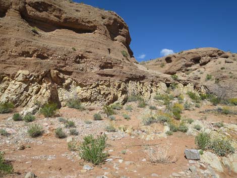 Folded rocks in the canyon wall (view N) |
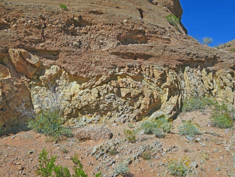 Folded rocks in the canyon wall; zoom (view N) |
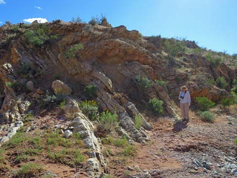 Folded rocks in the canyon wall (view S) |
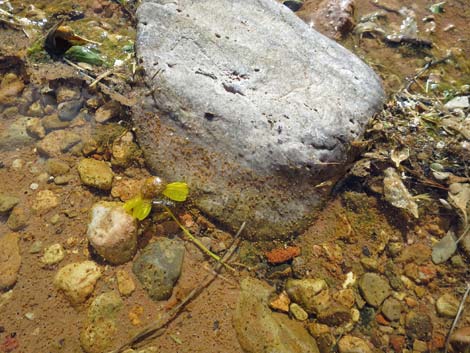 Water and water bugs |
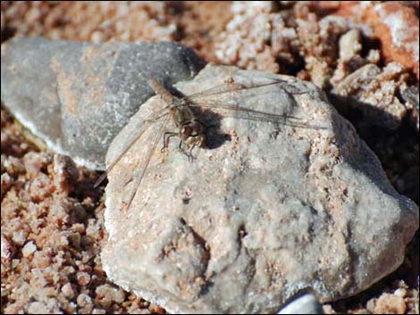 Dragonfly on a rock |
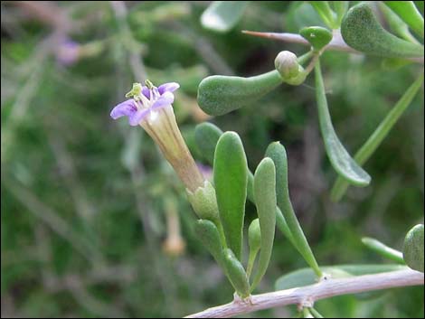 Fremont's Desert-thorn along the stream |
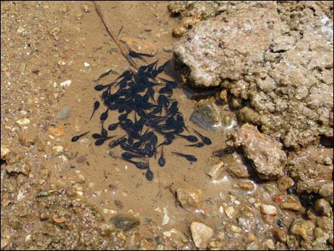 Red-spotted Toad tadpoles |
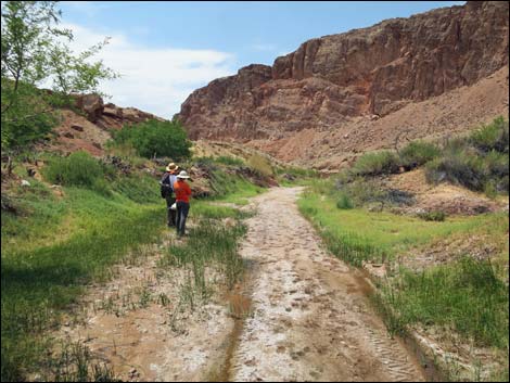 Hikers in the main wash where vehicles are driven illegally (view E) |
 |
 |
Returning Up Mud Wash through Red Bluff Spring
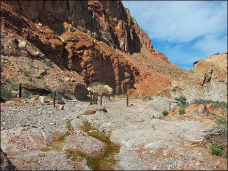 Lower fence, looking upstream into the exclusion area (view E) |
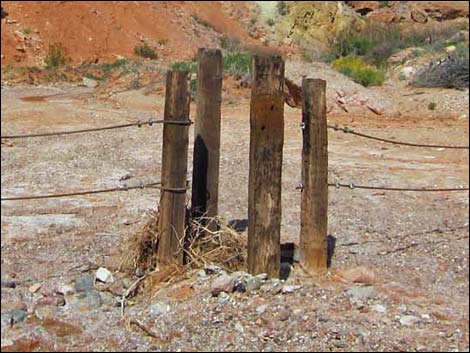 Gate in lower fence, looking into exclusion area (before; view E) |
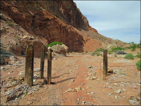 Vandals damaged lower fence; don't be an ass -- don't drive in |
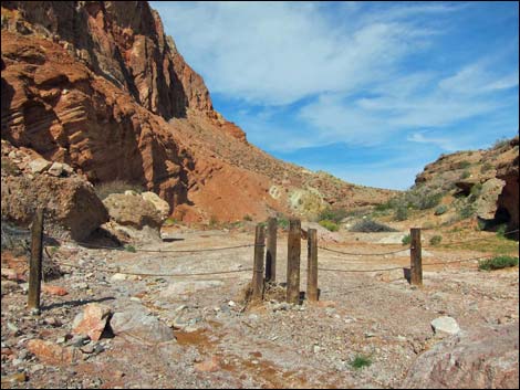 Lower fence, looking into the exclusion area (view E) |
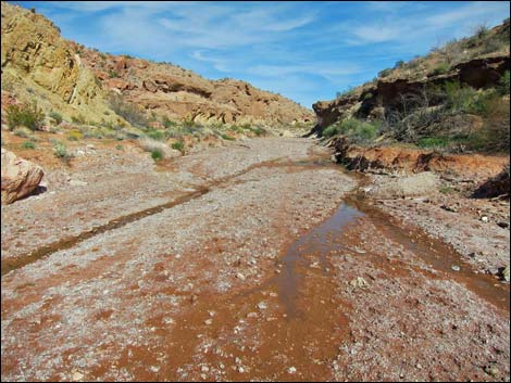 |
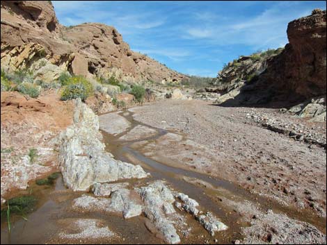 |
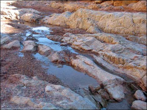 |
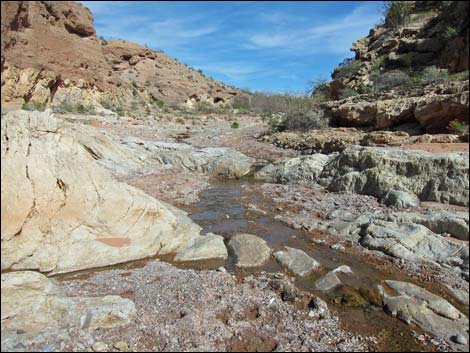 |
 |
 |
 |
 |
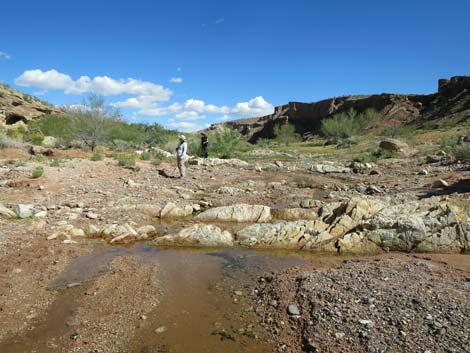
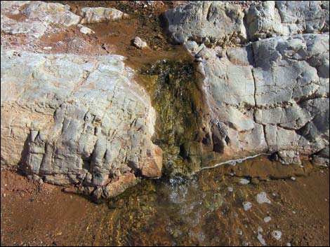
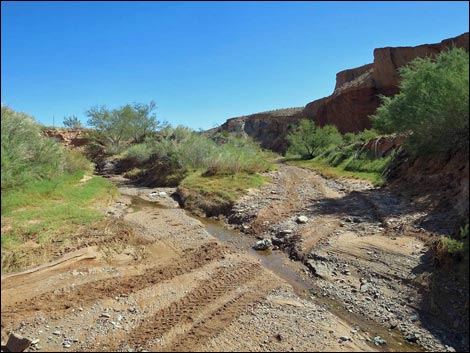 Water flowing from main spring (summer; view E) |
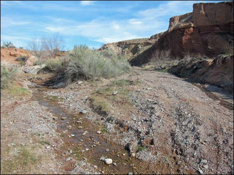 Water flowing from main spring (winter; view E) |
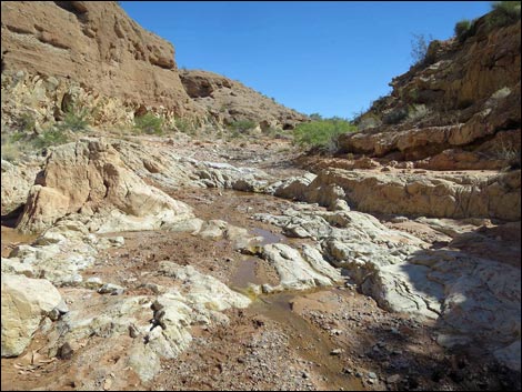
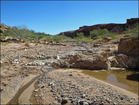
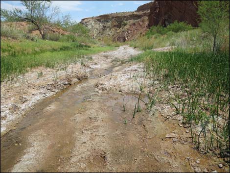 Vegetation removed by vehicles (view E) |
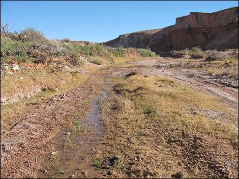 Vegetation can't go where people drive (view E) |
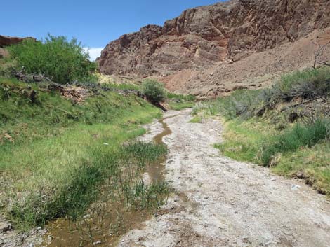 With vehicles excluded, vegetation is recovering |
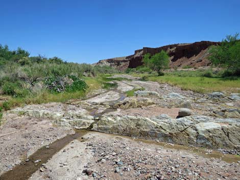 With vehicles excluded, vegetation is recovering |
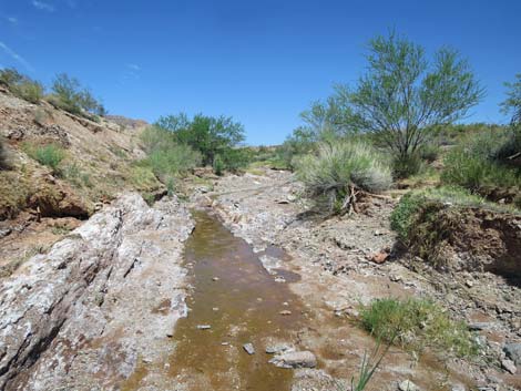 With vehicles excluded, vegetation is recovering |
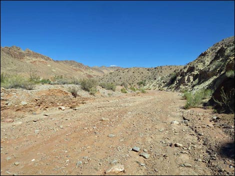 Continuing up the wash (view E) |
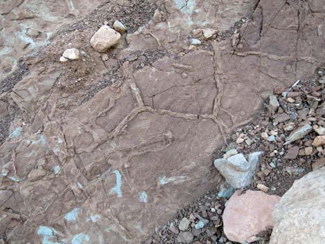 Mudstone with fossilized shrink-swell cracks |
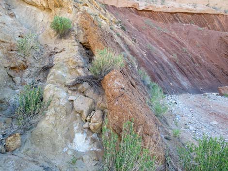 Layer of conglomerate stone |
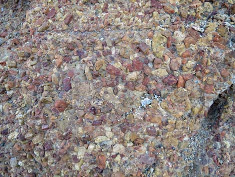 Details of conglomerate stone |
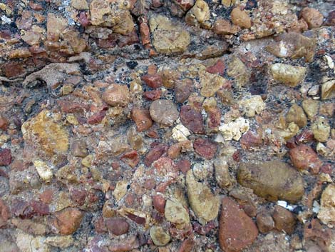 Details of conglomerate stone |
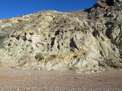 Curious structure in the mudstone hillside |
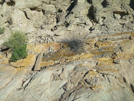 Petrified log? (right end) |
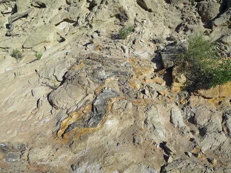 Petrified log stump with roots? (left end) |
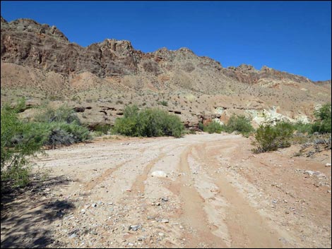 Continuing up the wash (view E) |
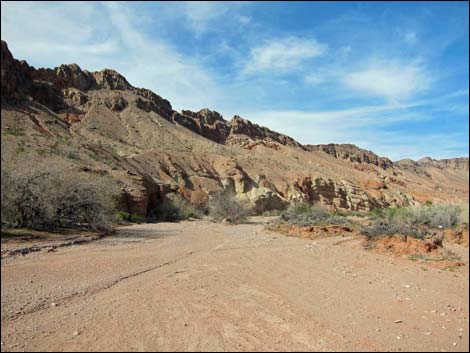 Approaching upstream fence (view E) |
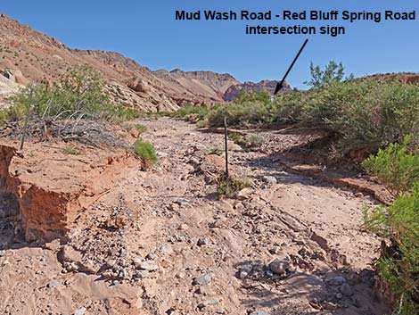 Upper fence, looking out of the exclusion area (view E) |
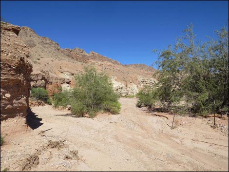 Upper fence, looking out of exclusion area (damaged fence; view E) |
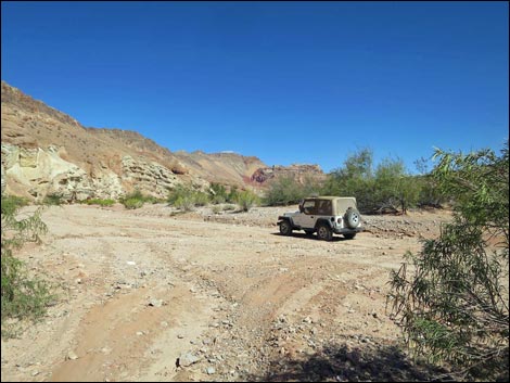 Returning to the trailhead (view E) |
Table 1. Hiking Coordinates and Distances based on GPS data (NAD27; UTM Zone 11S). Download Hiking GPS Waypoints (*.gpx) file.
| Wpt. | Location | UTM Easting | UTM Northing | Elevation (ft) | Point-to-Point Distance (mi) | Cumulative Distance (mi) | Verified |
|---|---|---|---|---|---|---|---|
| 01 | Red Bluff Spring East Trailhead | 746324 | 4038588 | 1,641 | 0.00 | 0.00 | GPS |
| 02 | Red Bluff Spring West Trailhead | 745708 | 4038350 | 1,572 | 0.67 | 0.67 | GPS |
| 01 | Red Bluff Spring East Trailhead | 746324 | 4038588 | 1,641 | 0.67 | 1.34 | GPS |
Happy Hiking! All distances, elevations, and other facts are approximate.
![]() ; Last updated 240326
; Last updated 240326
| Gold Butte | Rock Art | Hiking Around Las Vegas | Glossary | Copyright, Conditions, Disclaimer | Home |