
Backroads Around Las Vegas, Gold Butte

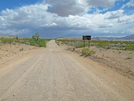 Gold Butte Road approaching Mud Wash North Road (view S) |
April 2023: the road remains passable in 2WD-HC vehicles. Overview Mud Wash North Road is located out in Gold Butte, northeast of Las Vegas. This road runs 3 miles from Gold Butte Road southwest to Mud Wash Road, traversing spectacular gypsum country along the way. This road starts from Gold Butte Backcountry Byway and provides a shortcut to Little Finland, Red Rock Springs and Hartman Tank, the Red Bluff Spring area, and the Lime Canyon Wilderness Area. The road is mostly gravel and normally is passable in 2WD high-clearance vehicles (assuming dry conditions), but it would be safer to have a 4WD because in a gravel wash, you just never know when a bit of deep gravel is going to suck you down. A few spots are rocky, and the wash can get quite sandy depending on recent flashflood history. For views of the road in the north-bound direction, see Mud Wash North Road - North Bound. Link to Road Map. |
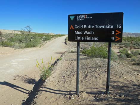 Gold Butte Road at Mud Wash North Road road-sign (view S) |
Watch Out Note (March 2022): this road was recently graded. Other than the standard warnings about the desert, ... this is a fairly safe road, but there are tight, blind curves where drivers should assume that some ATV is about to come careening around the corner. Depending on flashflood history, the road can be quite sandy. Mud Wash is a wild and remote area without services of any kind (no restrooms, no water, no gas, no food). Bring what you need to survive. Be prepared and be self-reliant. Someone will find you eventually if you stay on main roads, but be prepared to survive alone for a day, or even two or more days if you get off the main roads. While out, please respect the land and the other people out there, and try to Leave No Trace of your passage. Also, this is a remote area, so be sure to bring the 10 Essentials. |
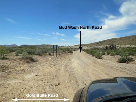 Mud Wash North Road (view W from Gold Butte Road) |
Getting to Mud Wash North Road Mud Wash North Road is located out in Gold Butte National Monument, south of Mesquite, Nevada, about 2-1/4 hours northeast of Las Vegas. From Las Vegas, drive out to Whitney Pocket at the end of the paved Gold Butte Road. Continue south on the unpaved Gold Butte Road for 3.9 miles to a signed intersection with Mud Wash North Road, on the right. A spur road to nowhere turns left at this point and heads up a sandy wash, but Mud Wash North Road turns right and runs down the North Fork of Mud Wash. See also the Gold Butte Area overview map. |
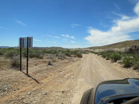 Starting down Mud Wash North Road (view W) |
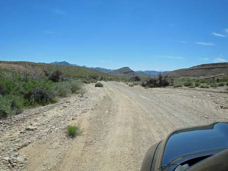
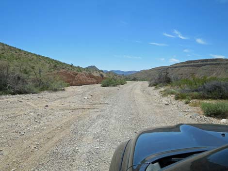
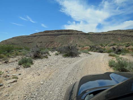
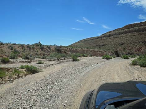
The Road From the unpaved Gold Butte Road (Table 1, Site 1649), Mud Wash North Road runs southwest down the North Fork of Mud Wash, a well-vegetated Mojave Desert Scrub wash. There are minor side roads, but most drivers will not notice them. The road runs down the wash, also across open flats, down narrow canyons, and around tight corners. Little of the road is straight, so even though the road surface is usually good, this road is a driving adventure with rocks and other things to keep drivers alert. About 1.2 miles out, the road passes Devils Nostril (Site 1930), on the left. This is a small sinkhole surrounded by barbed-wire fencing. The edges of the sinkhole are not safe, so don't get too close. At the confluence with Mud Wash (Site 1676), Mud Wash North Road ends where it intersects Mud Wash Road. Here, drivers can turn left towards Devils Throat and the unpaved Gold Butte Road, or turn right and head downstream on the Gold Butte Backcountry Byway towards Little Finland, Red Bluff Springs, and a number of other adventures. |
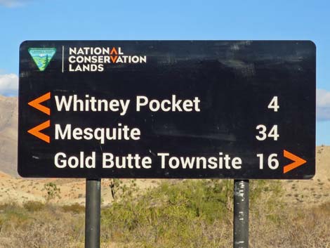 Looking back: road sign (view E) |
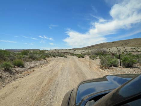 Sign: Limited Use Area; drive on designated roads only (view W) |
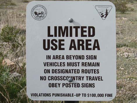 Often removed or vandalized, this sign still is true |
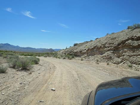 Gypsum ridge, watch for unusual plant species (view SW) |
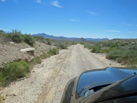 In the wash, heading out across desert flats (view SW) In the wash, heading out across desert flats (view SW) |
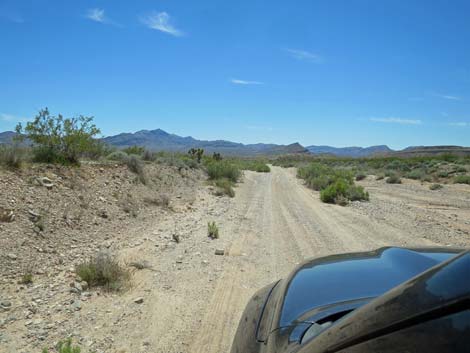 In the wash, heading out across desert flats (view SW) |
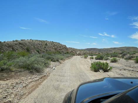 In the wash, passing gypsum hills and ridges (view SW) |
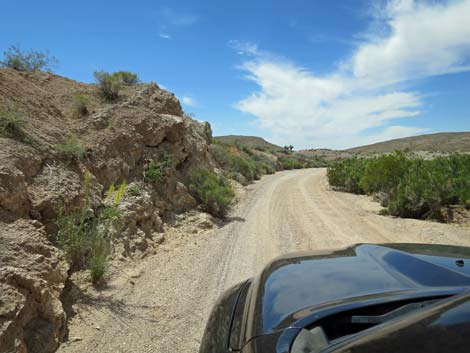 In the wash, passing gypsum hills and ridges (view SW) |
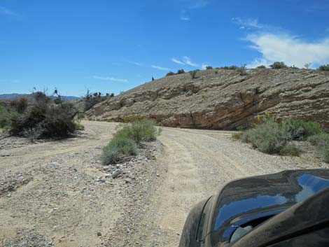 Mud Wash North Road approaching another gypsum ridge (view SW) |
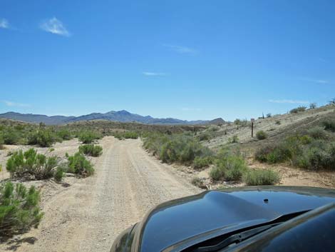 Approaching a habitat restoration area (illegal ATV hill climb) |
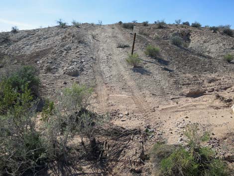 Don't be the jerk who drives past restoration signs (view W) |
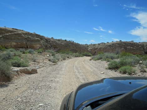 Approaching more gypsum ridges (view SW) |
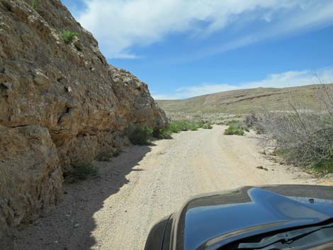 Passing another gypsum ridge (view W) |
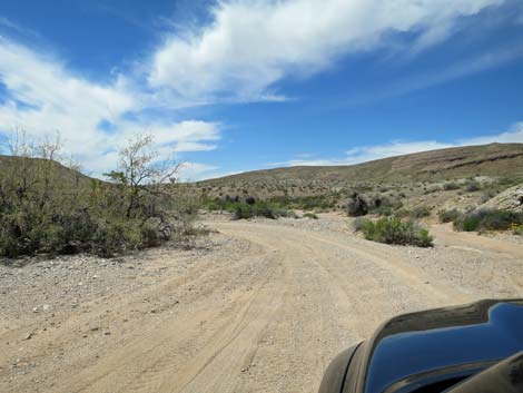 Parts of the wash are open and fairly broad (view W) |
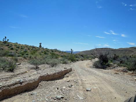 Mud Wash North Road (view SW) |
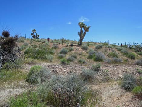 Fence surrounding Devils Nostril (view SE) |
 |
 |
 |
 |
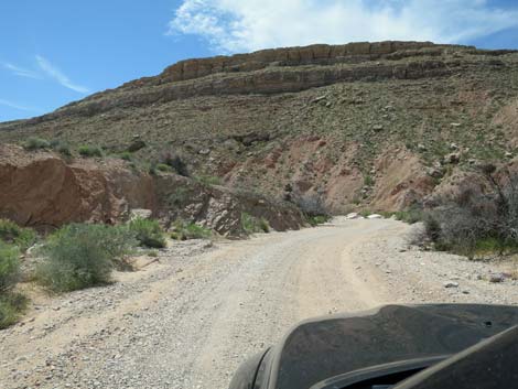 Mud Wash North Road approaching the base of a ridge (view W) |
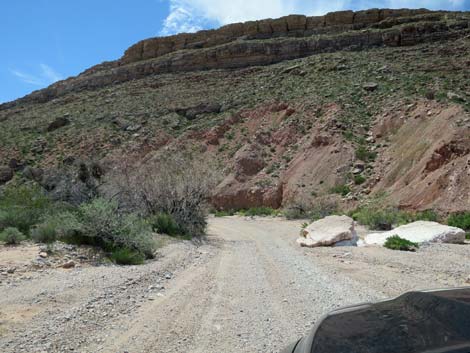 These rocks often flashflood to form a deep hole in the road (view W) |
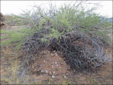 Badger burrow under bush at edge of wash (view S) |
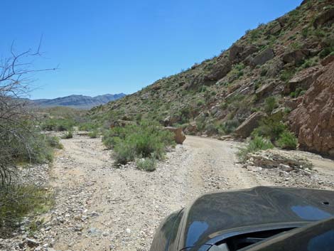 A narrow spot for wide trucks (view SW) |
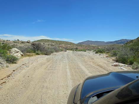 Wide spot in the wash (view S) |
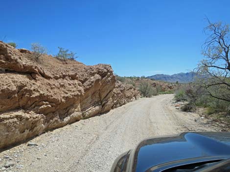 Layers of upturned gypsum (view S) |
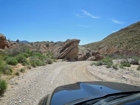 More layers of upturned gypsum (view S) |
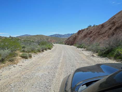
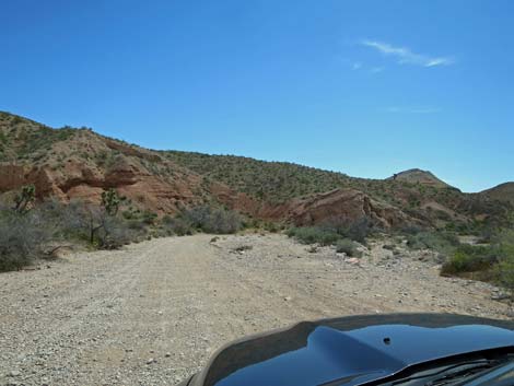
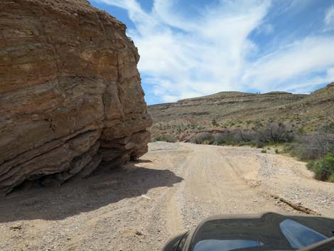
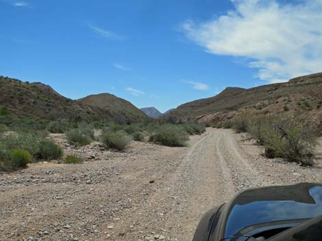
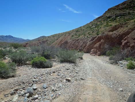 The road runs along the base of the ridge (view S) |
 |
 |
 |
 |
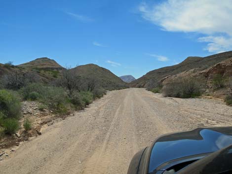 |
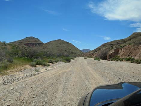 |
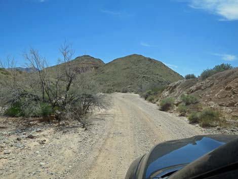 Approaching gap in the ridge (view SSW) |
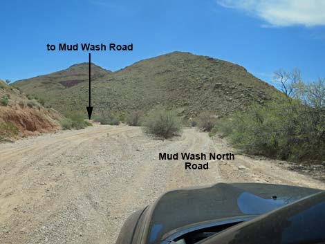 Approaching cutoff to Mud Wash Road, eastbound (view SSW) |
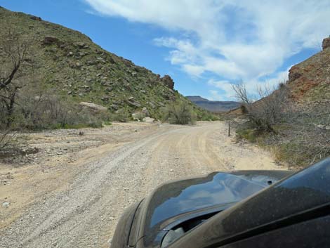 Approaching Mud Wash Road, westbound (view SSW) |
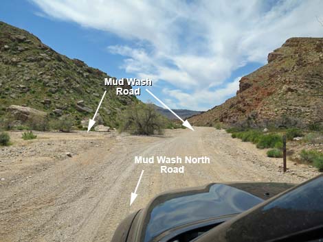 Mud Wash North Road at Mud Wash Road (view SW) |
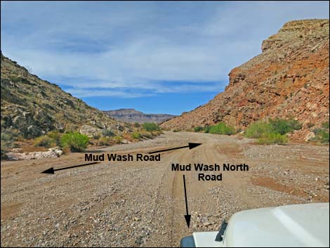 Merging into Mud Wash Road, westbound (view SW) |
 More to come ... |
Table 1. Highway Coordinates Based on GPS Data (NAD27; UTM Zone 11S). Download Highway GPS Waypoints (*.gpx) file.
| Wpt. | Location | Latitude (N) | Longitude (W) | Elevation (ft) | Point-to-Point Distance (mi) | Cumulative Distance (mi) |
|---|---|---|---|---|---|---|
| 1649 | Gold Butte Rd at Mud Wash N Rd | 36.47546 | 114.16339 | 2,388 | 0.0 | 0.0 |
| 1930 | Devils Nostril | 36.46440 | 114.17452 | 2,277 | 1.2 | 1.2 |
| 1676 | Mud Wash Rd at Mud Wash N Rd | 36.44311 | 114.18815 | 2,090 | 2.0 | 3.2 |
Happy Hiking! All distances, elevations, and other facts are approximate.
![]() ; Last updated 240326
; Last updated 240326
| Backroads Around Las Vegas | Hiking Around Las Vegas | Glossary | Copyright, Conditions, Disclaimer | Home |